
| Memorials | : | 1 |
| Location | : | Aalten, Aalten Municipality, Netherlands |
| Coordinate | : | 51.9342100, 6.5758700 |
| Description | : | The town of Aalten is situated to the east of Arnhem on the N318 at the junction with the N313. From this road junction follow the N318 in the direction of Varsseveld along the ringweg. Take the sixth turning on the right, called Romienendijk, and the cemetery is on the right. |
frequently asked questions (FAQ):
-
Where is Berkenhove General Cemetery?
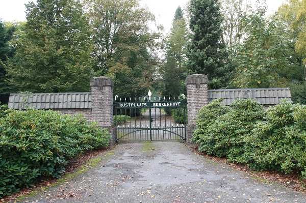
Berkenhove General Cemetery is located at Aalten, Aalten Municipality ,Gelderland ,Netherlands.
-
Berkenhove General Cemetery cemetery's updated grave count on graveviews.com?
0 memorials
-
Where are the coordinates of the Berkenhove General Cemetery?
Latitude: 51.9342100
Longitude: 6.5758700

Nearby Cemetories:
1. Oude Begraafplaats
Aalten, Aalten Municipality, Netherlands
Coordinate: 51.9283288, 6.5776327
2. Aalten Rooms-Katholieke Begraafplaats
Aalten, Aalten Municipality, Netherlands
Coordinate: 51.9218500, 6.5784000
3. Grafheuvel Nannielaantje
Aalten, Aalten Municipality, Netherlands
Coordinate: 51.9285000, 6.5957200
4. Joodse Begraafplaats
Aalten, Aalten Municipality, Netherlands
Coordinate: 51.9252900, 6.5988300
5. Kloosterhof
Bredevoort, Aalten Municipality, Netherlands
Coordinate: 51.9461994, 6.6127766
6. Joodse Begraafplaats
Bredevoort, Aalten Municipality, Netherlands
Coordinate: 51.9408108, 6.6189064
7. Oude Begraafplaats
Bredevoort, Aalten Municipality, Netherlands
Coordinate: 51.9409683, 6.6195741
8. Lichtenvoorde General Cemetery
Lichtenvoorde, Oost Gelre Municipality, Netherlands
Coordinate: 51.9886300, 6.5968600
9. Varsseveld General Cemetery
Varsseveld, Oude Ijsselstreek Municipality, Netherlands
Coordinate: 51.9402100, 6.4632300
10. Nieuwe Begraafplaats
Dinxperlo, Aalten Municipality, Netherlands
Coordinate: 51.8688335, 6.4971512
11. Joodse Begraafplaats Misterweg
Winterswijk Municipality, Netherlands
Coordinate: 51.9673710, 6.7024360
12. Dinxperlo General Cemetery
Dinxperlo, Aalten Municipality, Netherlands
Coordinate: 51.8636700, 6.4893000
13. Joodse Begraafplaats Spoorstraat
Winterswijk Municipality, Netherlands
Coordinate: 51.9685800, 6.7173600
14. Joodse Begraafplaats
Dinxperlo, Aalten Municipality, Netherlands
Coordinate: 51.8587400, 6.4797200
15. Winterswijk General Cemetery
Winterswijk, Winterswijk Municipality, Netherlands
Coordinate: 51.9795500, 6.7254100
16. Groenlo Roman Catholic Cemetery
Groenlo, Oost Gelre Municipality, Netherlands
Coordinate: 52.0350700, 6.6137700
17. Halle Protestant Cemetery
Halle, Bronckhorst Municipality, Netherlands
Coordinate: 51.9921000, 6.4249400
18. Joodse Begraafsplaats
Groenlo, Oost Gelre Municipality, Netherlands
Coordinate: 52.0448890, 6.6163030
19. Nieuwe Hervormde Begraafplaats
Groenlo, Oost Gelre Municipality, Netherlands
Coordinate: 52.0455970, 6.6166189
20. Joodse Begraafplaats
Terborg, Oude Ijsselstreek Municipality, Netherlands
Coordinate: 51.9177220, 6.3725280
21. Joodse Begraafsplaats Oude Ijsselstreek
Gendringen, Oude Ijsselstreek Municipality, Netherlands
Coordinate: 51.8782250, 6.3860750
22. Gendringen Roman Catholic Cemetery
Gendringen, Oude Ijsselstreek Municipality, Netherlands
Coordinate: 51.8741900, 6.3785500
23. Hervormde Begraafplaats
Gendringen, Oude Ijsselstreek Municipality, Netherlands
Coordinate: 51.8710900, 6.3661700
24. Begraafplaats Kommendijk
Doetinchem Municipality, Netherlands
Coordinate: 51.9640325, 6.3423601