
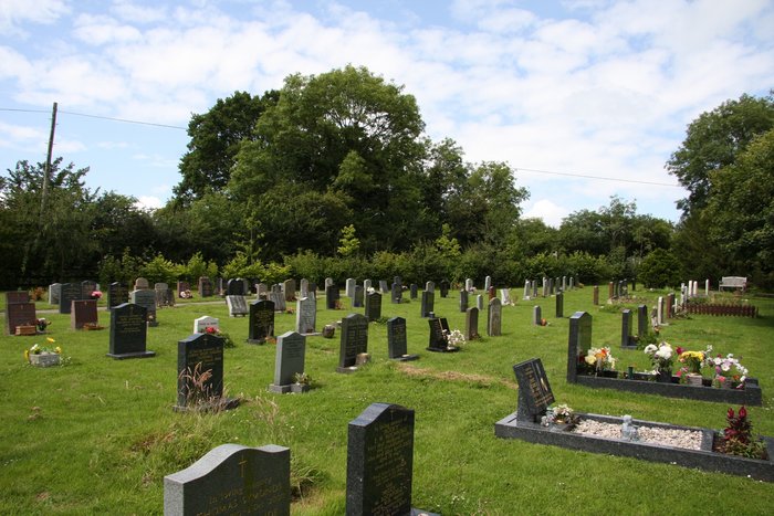
| Memorials | : | 0 |
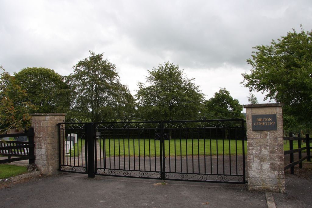
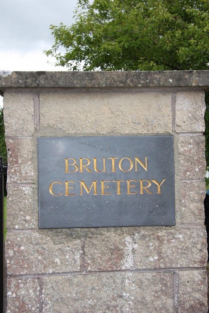
| Location | : | Bruton, South Somerset District, England |
| Website | : | brutontowncouncil.gov.uk/cemetery-cuckoo-hill/ |
| Coordinate | : | 51.1208280, -2.4464270 |
frequently asked questions (FAQ):
-
Where is Bruton Cemetery?
Bruton Cemetery is located at Cockoo Hill Bruton, South Somerset District ,Somerset , BA10 0AFEngland.
-
Bruton Cemetery cemetery's updated grave count on graveviews.com?
0 memorials
-
Where are the coordinates of the Bruton Cemetery?
Latitude: 51.1208280
Longitude: -2.4464270
Nearby Cemetories:
1. Blessed Virgin Mary Churchyard
Bruton, South Somerset District, England
Coordinate: 51.1115790, -2.4520520
2. Bruton Abbey
Bruton, South Somerset District, England
Coordinate: 51.1114890, -2.4530300
3. St Peter Churchyard
Redlynch, South Somerset District, England
Coordinate: 51.0983279, -2.4299457
4. Church of the Holy Trinity
Bruton, South Somerset District, England
Coordinate: 51.1070450, -2.4843710
5. St James Church
Milton Clevedon, Mendip District, England
Coordinate: 51.1381600, -2.4809000
6. Church of St John the Baptist
Brewham, South Somerset District, England
Coordinate: 51.1236330, -2.4017130
7. Saint Mary The Virgin
Batcombe, Mendip District, England
Coordinate: 51.1495900, -2.4433900
8. St Leonard Churchyard and Extension
Pitcombe, South Somerset District, England
Coordinate: 51.0925600, -2.4684600
9. Evercreech Cemetery
Evercreech, Mendip District, England
Coordinate: 51.1461300, -2.4989500
10. St Peter Churchyard
Evercreech, Mendip District, England
Coordinate: 51.1462670, -2.5025440
11. St Andrew Churchyard
Ansford, South Somerset District, England
Coordinate: 51.0943350, -2.5180470
12. Saint John's Churchyard
Charlton Musgrove, South Somerset District, England
Coordinate: 51.0840723, -2.3869787
13. St. Nicholas' Churchyard
Bratton Seymour, South Somerset District, England
Coordinate: 51.0679406, -2.4625400
14. St Mary's, Chesterblade
Evercreech, Mendip District, England
Coordinate: 51.1692610, -2.4861180
15. Stavordale Priory
Charlton Musgrove, South Somerset District, England
Coordinate: 51.0870410, -2.3778130
16. All Saints
Castle Cary, South Somerset District, England
Coordinate: 51.0865760, -2.5165400
17. The Blessed Virgin Mary Churchyard
Wanstrow, Mendip District, England
Coordinate: 51.1735190, -2.4164890
18. St Mary Magdalene Churchyard
Ditcheat, Mendip District, England
Coordinate: 51.1250270, -2.5362010
19. Saint Stephen Churchyard
Charlton Musgrove, South Somerset District, England
Coordinate: 51.0678630, -2.4008550
20. Castle Cary Cemetery
Castle Cary, South Somerset District, England
Coordinate: 51.0803800, -2.5223600
21. St Mary's Church
Witham Friary, Mendip District, England
Coordinate: 51.1686850, -2.3676100
22. St Bartholomew Churchyard
Cranmore, Mendip District, England
Coordinate: 51.1882670, -2.4760330
23. Saint Bartholomew Chapel Churchyard
Cranmore, Mendip District, England
Coordinate: 51.1882990, -2.4759150
24. St. Michael Churchyard
Pen Selwood, South Somerset District, England
Coordinate: 51.0816300, -2.3499200