
| Memorials | : | 0 |
| Location | : | Luton, Luton Borough, England |
| Coordinate | : | 51.8794640, -0.4027310 |
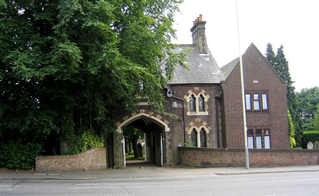
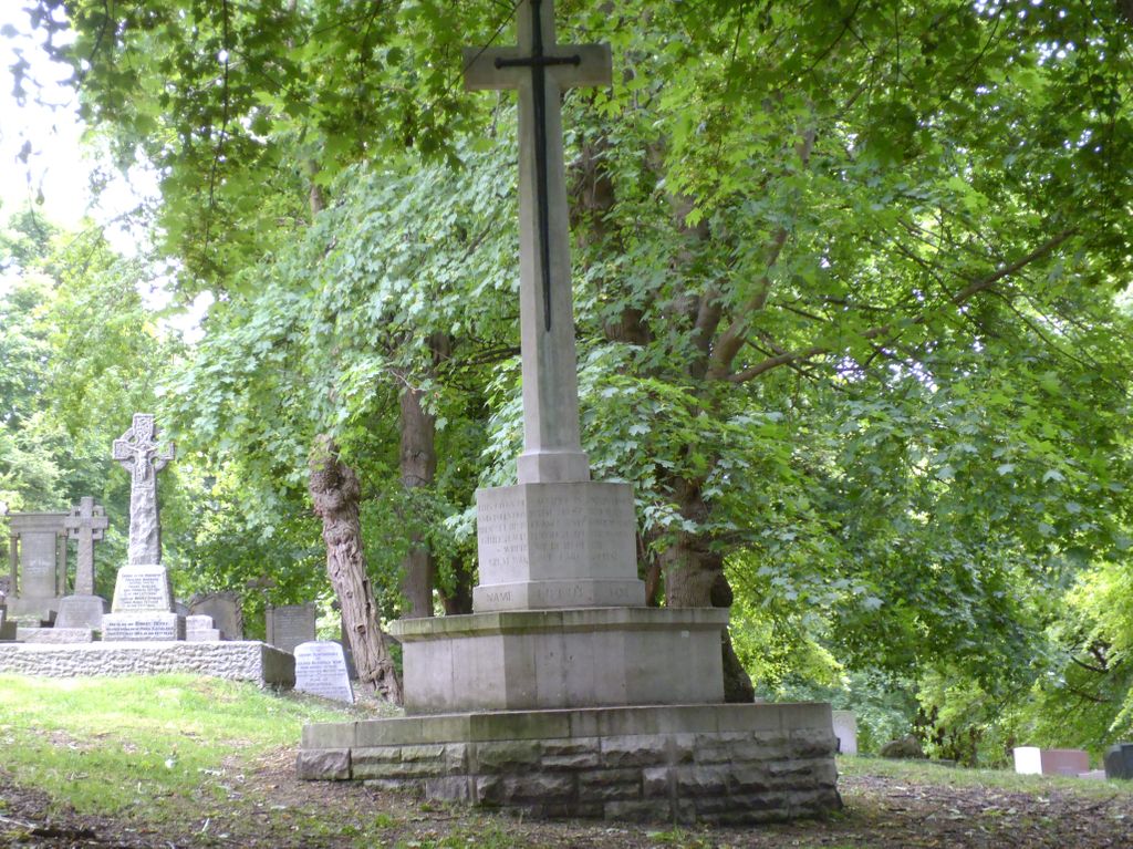
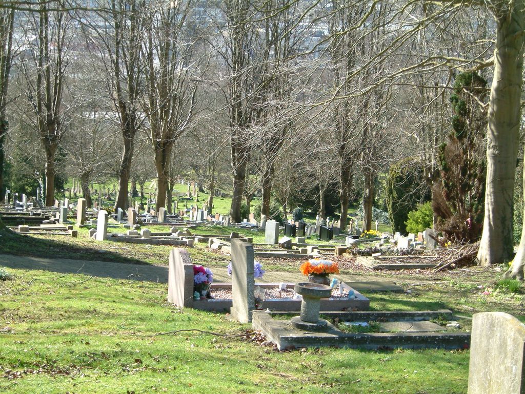
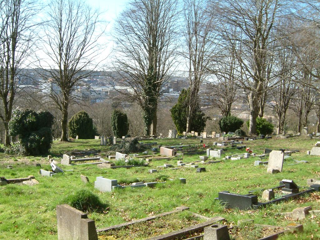
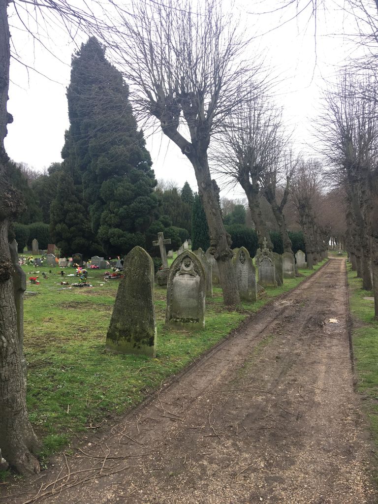
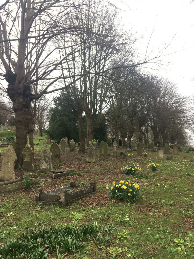
| Description | : | Luton is about 30 miles north-west of St. Pancras station, London. This burial ground, which is in Crawley Green Road, was purchased by public subscription in 1854 as an extension to the churchyard surrounding St. Mary's, the parish church of Luton, and is owned by Luton Church burial Ground Trustees. It contains war graves of both World Wars. The 1914-1918 War burials number 83, and are widely distributed throughout the cemetery. After the war a Cross of Sacrifice was erected on an island site on the main path, in honour of all the servicemen resting in this burial ground. There... Read More |
frequently asked questions (FAQ):
-
Where is Church Burial Ground?
Church Burial Ground is located at Crawley Green Road, Luton, Luton Borough ,Bedfordshire , LU2 9TEEngland.
-
Church Burial Ground cemetery's updated grave count on graveviews.com?
0 memorials
-
Where are the coordinates of the Church Burial Ground?
Latitude: 51.8794640
Longitude: -0.4027310
Nearby Cemetories:
1. Quaker Burial Ground
Luton, Luton Borough, England
Coordinate: 51.8791910, -0.4023320
2. St. Mary's Churchyard
Luton, Luton Borough, England
Coordinate: 51.8788681, -0.4100020
3. Luton Vauxhall Motors War Memorial
Luton, Luton Borough, England
Coordinate: 51.8745100, -0.3967500
4. Friend's Burial Ground
Luton, Luton Borough, England
Coordinate: 51.8738060, -0.4170870
5. Luton General Cemetery
Luton, Luton Borough, England
Coordinate: 51.8773780, -0.4242060
6. St Andrew Woodside Churchyard
Slip End, Central Bedfordshire Unitary Authority, England
Coordinate: 51.8577160, -0.4306600
7. Vale Cemetery and Crematorium
Luton, Luton Borough, England
Coordinate: 51.9070900, -0.3924930
8. Holy Trinity Churchyard
Biscot, Luton Borough, England
Coordinate: 51.9028700, -0.4375560
9. All Saints Churchyard
Caddington, Central Bedfordshire Unitary Authority, England
Coordinate: 51.8670460, -0.4561910
10. Aley Green Cemetery
Slip End, Central Bedfordshire Unitary Authority, England
Coordinate: 51.8522500, -0.4496420
11. Holy Trinity Churchyard
East Hyde, Central Bedfordshire Unitary Authority, England
Coordinate: 51.8433710, -0.3640760
12. Breachwood Green Baptist Church
Kings Walden, North Hertfordshire District, England
Coordinate: 51.8843200, -0.3293700
13. St. John the Baptist Churchyard
Markyate, Dacorum Borough, England
Coordinate: 51.8391900, -0.4658200
14. National Children's Home Cemetery
Harpenden, St Albans District, England
Coordinate: 51.8305000, -0.3563000
15. Westfield Road Cemetery
Harpenden, St Albans District, England
Coordinate: 51.8270720, -0.3540300
16. St. Leonard's Churchyard
Flamstead, Dacorum Borough, England
Coordinate: 51.8199400, -0.4326800
17. St Mary Magdalene Churchyard
Offley, North Hertfordshire District, England
Coordinate: 51.9277300, -0.3357400
18. St. Giles in the Woods Priory
Flamstead, Dacorum Borough, England
Coordinate: 51.8187400, -0.4374400
19. St Mary the Virgin, Kensworth
Kensworth, Central Bedfordshire Unitary Authority, England
Coordinate: 51.8602233, -0.5037911
20. St Nicholas Churchyard
Harpenden, St Albans District, England
Coordinate: 51.8169470, -0.3583300
21. St. Mary the Virgin Churchyard
Sundon, Central Bedfordshire Unitary Authority, England
Coordinate: 51.9301970, -0.4769740
22. Dunstable Priory
Dunstable, Central Bedfordshire Unitary Authority, England
Coordinate: 51.8859940, -0.5177920
23. Ss Peter and Paul Churchyard
Kimpton, North Hertfordshire District, England
Coordinate: 51.8527990, -0.2918240
24. St Martins
Preston, North Hertfordshire District, England
Coordinate: 51.9091932, -0.2876494