
| Memorials | : | 2 |
| Location | : | Markyate, Dacorum Borough, England |
| Coordinate | : | 51.8391900, -0.4658200 |
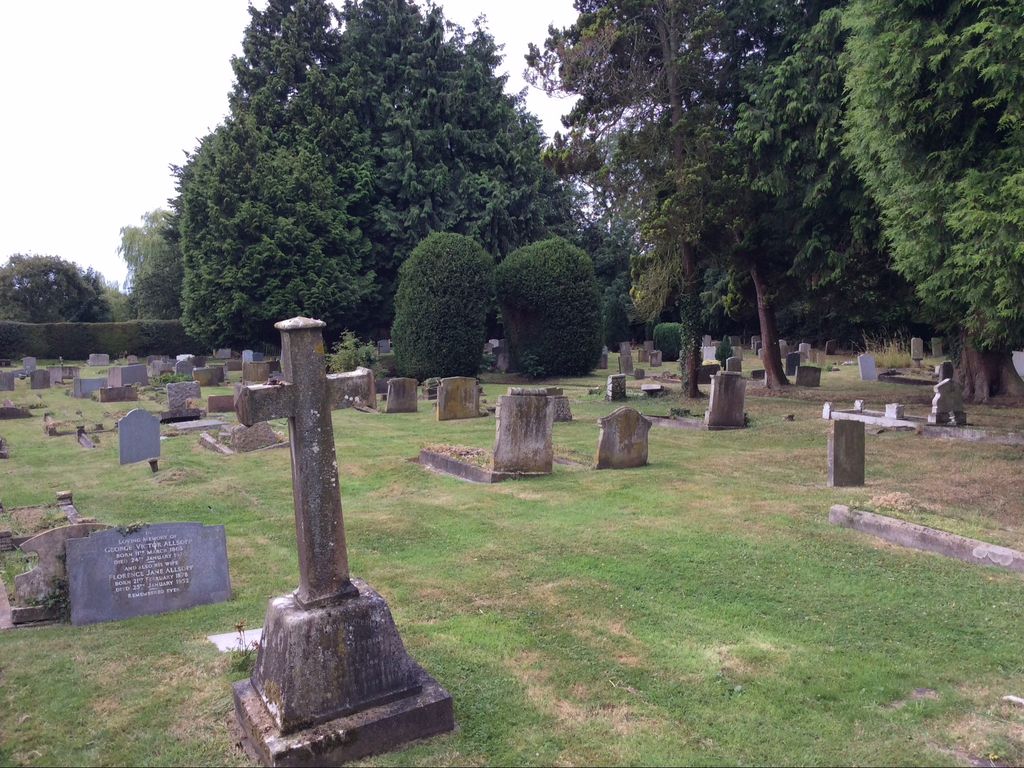
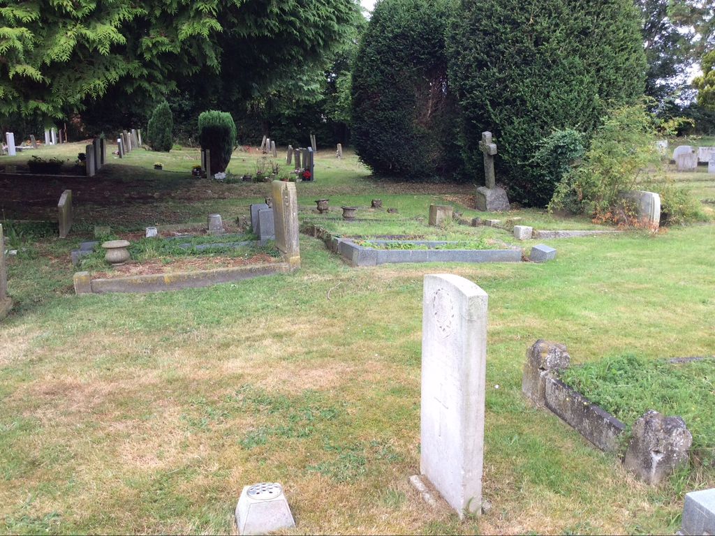
| Description | : | St John The Baptist, New Churchyard consecrated in June 1900 by the Lord Bishop of Colchester. Cemetery can be found, From A5 turn into High Street, turn right behind old white Heart Pub, follow road until you come to the war memorial, on the right of the memorial is a steep single track leading up to the cemetery. No car park but room to park couple of cars. |
frequently asked questions (FAQ):
-
Where is St. John the Baptist Churchyard?
St. John the Baptist Churchyard is located at High Street Markyate, Dacorum Borough ,Hertfordshire , AL3 8PfEngland.
-
St. John the Baptist Churchyard cemetery's updated grave count on graveviews.com?
2 memorials
-
Where are the coordinates of the St. John the Baptist Churchyard?
Latitude: 51.8391900
Longitude: -0.4658200
Nearby Cemetories:
1. Aley Green Cemetery
Slip End, Central Bedfordshire Unitary Authority, England
Coordinate: 51.8522500, -0.4496420
2. St. Giles in the Woods Priory
Flamstead, Dacorum Borough, England
Coordinate: 51.8187400, -0.4374400
3. St. Leonard's Churchyard
Flamstead, Dacorum Borough, England
Coordinate: 51.8199400, -0.4326800
4. All Saints Churchyard
Caddington, Central Bedfordshire Unitary Authority, England
Coordinate: 51.8670460, -0.4561910
5. St Andrew Woodside Churchyard
Slip End, Central Bedfordshire Unitary Authority, England
Coordinate: 51.8577160, -0.4306600
6. St Mary the Virgin, Kensworth
Kensworth, Central Bedfordshire Unitary Authority, England
Coordinate: 51.8602233, -0.5037911
7. St. Mary Magdalene Churchyard
Whipsnade, Central Bedfordshire Unitary Authority, England
Coordinate: 51.8510078, -0.5324191
8. Friend's Burial Ground
Luton, Luton Borough, England
Coordinate: 51.8738060, -0.4170870
9. Luton General Cemetery
Luton, Luton Borough, England
Coordinate: 51.8773780, -0.4242060
10. St. Mary's Churchyard
Luton, Luton Borough, England
Coordinate: 51.8788681, -0.4100020
11. Luton Vauxhall Motors War Memorial
Luton, Luton Borough, England
Coordinate: 51.8745100, -0.3967500
12. Quaker Burial Ground
Luton, Luton Borough, England
Coordinate: 51.8791910, -0.4023320
13. Church Burial Ground
Luton, Luton Borough, England
Coordinate: 51.8794640, -0.4027310
14. Dunstable Priory
Dunstable, Central Bedfordshire Unitary Authority, England
Coordinate: 51.8859940, -0.5177920
15. Dunstable Cemetery
Dunstable, Central Bedfordshire Unitary Authority, England
Coordinate: 51.8831062, -0.5316300
16. SS Peter & Paul Churchyard
Little Gaddesden, Dacorum Borough, England
Coordinate: 51.8140340, -0.5538550
17. St. Mary's Churchyard
Redbourn, St Albans District, England
Coordinate: 51.7916200, -0.4066100
18. Holy Trinity Churchyard
East Hyde, Central Bedfordshire Unitary Authority, England
Coordinate: 51.8433710, -0.3640760
19. Holy Trinity Churchyard
Biscot, Luton Borough, England
Coordinate: 51.9028700, -0.4375560
20. National Children's Home Cemetery
Harpenden, St Albans District, England
Coordinate: 51.8305000, -0.3563000
21. St Nicholas Churchyard
Harpenden, St Albans District, England
Coordinate: 51.8169470, -0.3583300
22. Westfield Road Cemetery
Harpenden, St Albans District, England
Coordinate: 51.8270720, -0.3540300
23. Ashridge Priory
Little Gaddesden, Dacorum Borough, England
Coordinate: 51.7990000, -0.5600000
24. Houghton Regis Cemetery
Houghton Regis, Central Bedfordshire Unitary Authority, England
Coordinate: 51.9019710, -0.5229130