
| Memorials | : | 107 |
| Location | : | North Cerney, Cotswold District, England |
| Coordinate | : | 51.7687300, -1.9746800 |
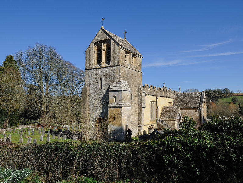
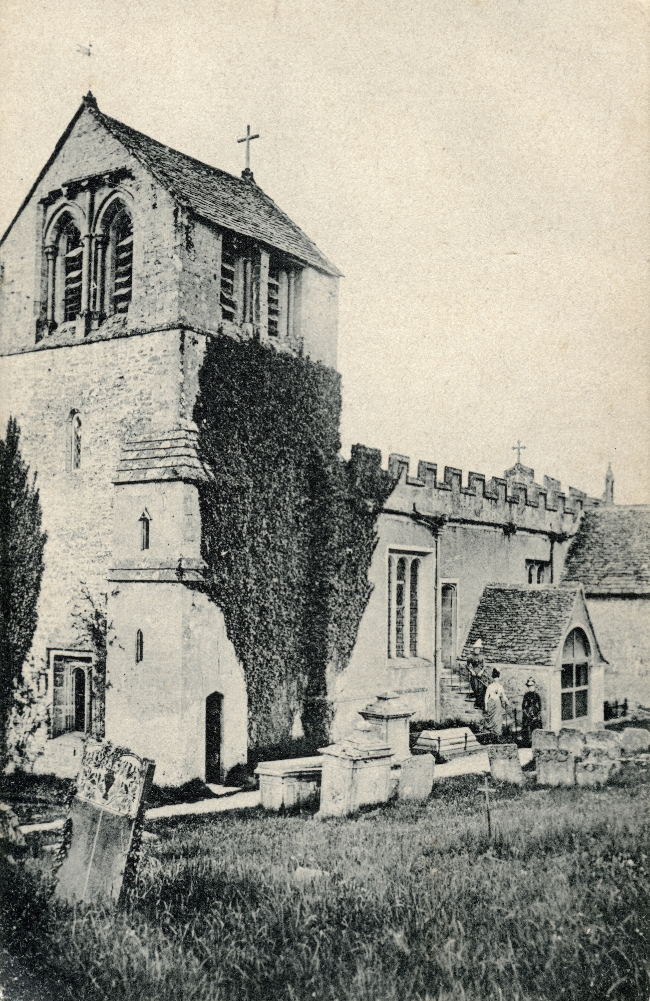
| Description | : | North Cerney Parish, All Saints Church, is located on a hill across the street from North Cerney Village. A small light shines through a stained glass window, bidding travelers welcome. All Saints is a typical Churn valley church, with a lovely old slate roof and a charming low saddle-back tower. "The Churchyard Cross dates from the 14th century, but has been completely restored within the past ten years. There are some interesting table tombs in the churchyard and there is a complete record of every memorial and inscription, marking where they are set. The Cross... Read More |
frequently asked questions (FAQ):
-
Where is All Saints Churchyard?
All Saints Churchyard is located at A435 North Cerney, Cotswold District ,Gloucestershire , GL7 7BZEngland.
-
All Saints Churchyard cemetery's updated grave count on graveviews.com?
107 memorials
-
Where are the coordinates of the All Saints Churchyard?
Latitude: 51.7687300
Longitude: -1.9746800

Nearby Cemetories:
1. St Mary Magdalene Churchyard
Baunton, Cotswold District, England
Coordinate: 51.7400511, -1.9692225
2. Stratton Cemetery
Cirencester, Cotswold District, England
Coordinate: 51.7353020, -1.9859041
3. St Peter Churchyard
Duntisbourne Abbots, Cotswold District, England
Coordinate: 51.7694080, -2.0438190
4. St Andrews
Chedworth, Cotswold District, England
Coordinate: 51.8078450, -1.9259590
5. St. John the Baptist Churchyard
Cirencester, Cotswold District, England
Coordinate: 51.7175600, -1.9678580
6. St Mary Churchyard
Barnsley, Cotswold District, England
Coordinate: 51.7445030, -1.8894860
7. Chesterton Cemetery
Cirencester, Cotswold District, England
Coordinate: 51.7099230, -1.9801340
8. St. Mary the Virgin Churchyard
Syde, Cotswold District, England
Coordinate: 51.7961724, -2.0750209
9. St Matthew Churchyard
Coates, Cotswold District, England
Coordinate: 51.7077470, -2.0411010
10. St. Andrew's Churchyard
Miserden, Stroud District, England
Coordinate: 51.7787500, -2.0940500
11. St. Kenelm's Churchyard
Sapperton, Cotswold District, England
Coordinate: 51.7294000, -2.0775000
12. Ampney St Peter Churchyard
Ampney St Peter, Cotswold District, England
Coordinate: 51.7126320, -1.8918160
13. Ampney St. Mary Parish Churchyard
Ampney St Mary, Cotswold District, England
Coordinate: 51.7125000, -1.8919000
14. St. Mary's Churchyard
Cowley, Cotswold District, England
Coordinate: 51.8304330, -2.0520550
15. Saint Michael and All Angels Churchyard
Brimpsfield, Cotswold District, England
Coordinate: 51.8000000, -2.1000000
16. St. Mary the Virgin Churchyard
Bibury, Cotswold District, England
Coordinate: 51.7587037, -1.8376852
17. Church of St. Oswald
Compton Abdale, Cotswold District, England
Coordinate: 51.8481353, -1.9148839
18. Poulton Priory
Poulton, Cotswold District, England
Coordinate: 51.6989750, -1.8638940
19. All Hallows Churchyard
South Cerney, Cotswold District, England
Coordinate: 51.6748248, -1.9292083
20. All Saints Church
Kemble, Cotswold District, England
Coordinate: 51.6711000, -2.0154000
21. St Bartholemew Church
Oakridge, Stroud District, England
Coordinate: 51.7291209, -2.1276180
22. Bisley Burial Ground
Bisley, Stroud District, England
Coordinate: 51.7493640, -2.1389080
23. SS Peter & Paul
Northleach, Cotswold District, England
Coordinate: 51.8295720, -1.8390300
24. All Saints Churchyard
Bisley, Stroud District, England
Coordinate: 51.7520580, -2.1409380