
| Memorials | : | 51 |
| Location | : | St Albans, St Albans District, England |
| Coordinate | : | 51.7523003, -0.3192620 |
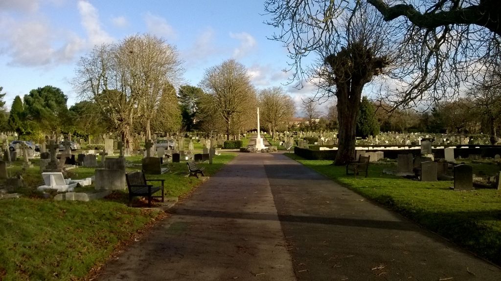
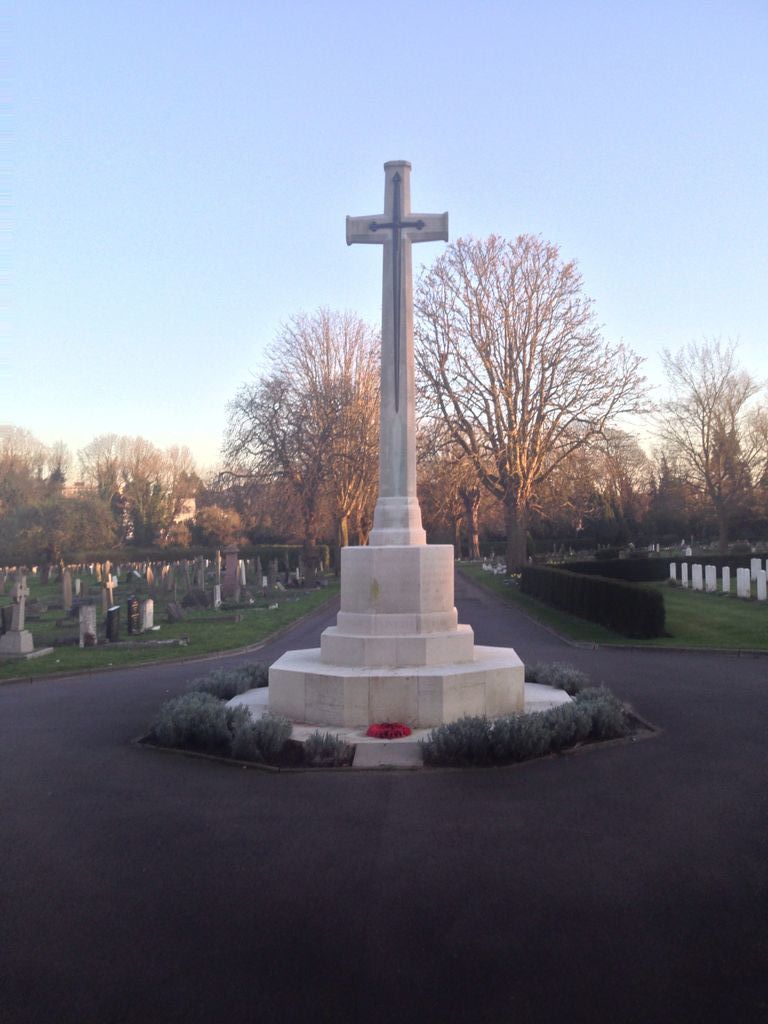
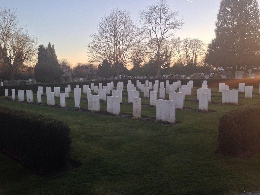
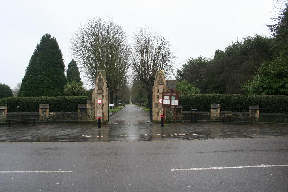
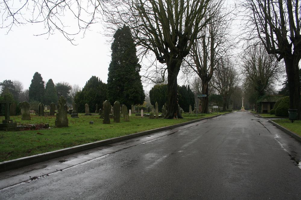
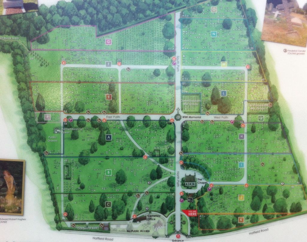
| Description | : | St Albans' Council purchased the land for use as a burial ground from Earl Spencer in October 1883. In the late 1880s and during the 1890s the southern part was managed as a hay meadow, which produced a usable crop and valuable income which subsequently helped offset the cost of burial services. During both World Wars the cemetery was used for military burials. Over 200 war graves contain the remains of local and Commonwealth personnel who died in nearby military hospitals. The graves are maintained by the Commonwealth War Graves Commission. In the centre of the cemetery is a World... Read More |
frequently asked questions (FAQ):
-
Where is Hatfield Road Cemetery?
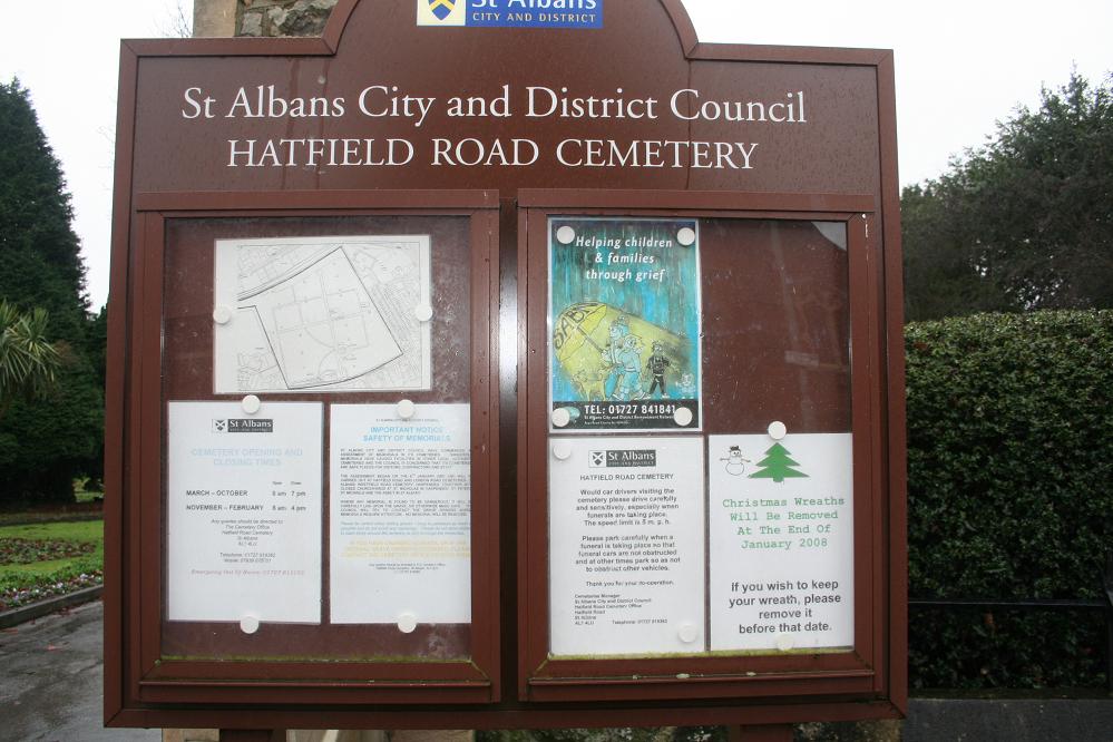
Hatfield Road Cemetery is located at Hatfield Road St Albans, St Albans District ,Hertfordshire , AL1 4LUEngland.
-
Hatfield Road Cemetery cemetery's updated grave count on graveviews.com?
50 memorials
-
Where are the coordinates of the Hatfield Road Cemetery?
Latitude: 51.7523003
Longitude: -0.3192620
Nearby Cemetories:
1. St Peter's Churchyard
St Albans, St Albans District, England
Coordinate: 51.7555400, -0.3350270
2. Dagnall Lane Baptist Chapel
St Albans, St Albans District, England
Coordinate: 51.7526990, -0.3405156
3. Spicer Street Chapel Burial Ground
St Albans, St Albans District, England
Coordinate: 51.7523288, -0.3423231
4. Saint Alban's Cathedral
St Albans, St Albans District, England
Coordinate: 51.7504425, -0.3423680
5. Romeland Hill Garden of Rest
St Albans, St Albans District, England
Coordinate: 51.7514540, -0.3438830
6. London Road Cemetery
St Albans, St Albans District, England
Coordinate: 51.7333610, -0.3066110
7. St. Stephen's Churchyard
St Albans, St Albans District, England
Coordinate: 51.7417450, -0.3483370
8. St Michael’s Churchyard
St Albans, St Albans District, England
Coordinate: 51.7529540, -0.3560640
9. St Leonard Churchyard & Extension
Sandridge, St Albans District, England
Coordinate: 51.7813690, -0.3036580
10. Frogmore Holy Trinity Burial Ground
St Albans District, England
Coordinate: 51.7197598, -0.3365342
11. Childwickbury Manor
Childwickbury, St Albans District, England
Coordinate: 51.7809460, -0.3499100
12. St Mary Churchyard
Childwickbury, St Albans District, England
Coordinate: 51.7836980, -0.3473020
13. Holy Trinity Churchyard
St Albans, St Albans District, England
Coordinate: 51.7170354, -0.3334244
14. Saint Bololph's Churchyard
Shenley, Hertsmere Borough, England
Coordinate: 51.7030296, -0.2890460
15. Sir David Yule Mausoleum
St Albans, St Albans District, England
Coordinate: 51.7024660, -0.3505190
16. Welwyn Hatfield Lawn Cemetery
Welwyn Hatfield, Welwyn Hatfield District, England
Coordinate: 51.7422400, -0.2315670
17. Hill End Hospital Cemetery
St Albans, St Albans District, England
Coordinate: 51.6982051, -0.2901128
18. Wheathampstead United Churchyard
Wheathampstead, St Albans District, England
Coordinate: 51.8108170, -0.2972210
19. St. Luke's Churchyard
Hatfield, Welwyn Hatfield District, England
Coordinate: 51.7643980, -0.2237710
20. St. Helen's Churchyard
Wheathampstead, St Albans District, England
Coordinate: 51.8124510, -0.2946400
21. West Herts Crematorium
Watford, Watford Borough, England
Coordinate: 51.7004195, -0.3847509
22. St John the Evangelist Churchyard
Lemsford, Welwyn Hatfield District, England
Coordinate: 51.7934510, -0.2355890
23. St. Mary's Churchyard
Redbourn, St Albans District, England
Coordinate: 51.7916200, -0.4066100
24. St. Etheldreda Churchyard
Hatfield, Welwyn Hatfield District, England
Coordinate: 51.7614490, -0.2120150