
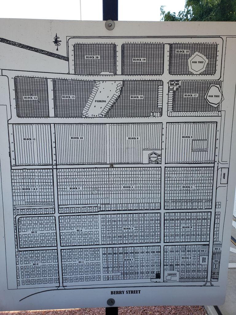
| Memorials | : | 96 |
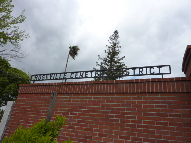
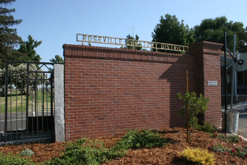
| Location | : | Roseville, Placer County, USA |
| Phone | : | 916.783.3131 |
| Coordinate | : | 38.7606010, -121.2707977 |
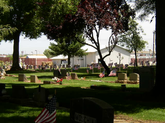
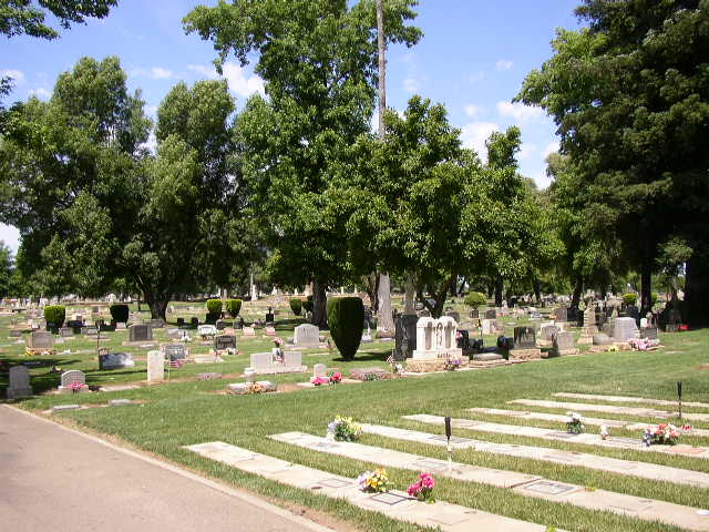
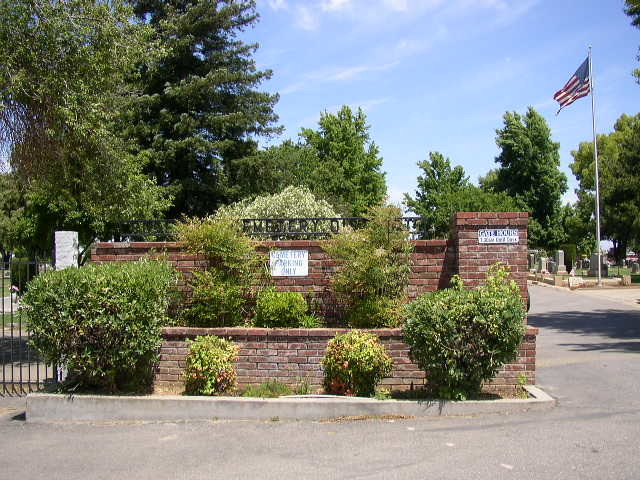
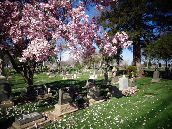
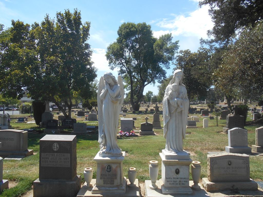
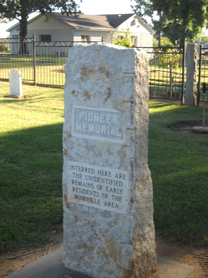
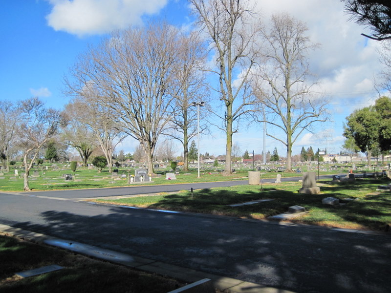
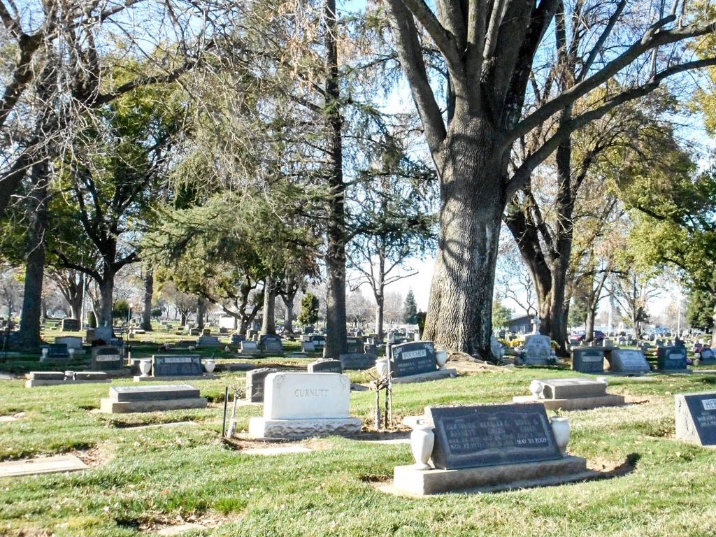
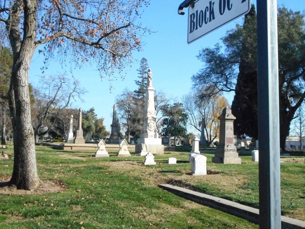
| Description | : | The first burial in what would become the Roseville Public Cemetery occurred in 1861. The International Order of Odd Fellows maintained the cemetery -- then called the Odd Fellows Cemetery or IOOF Cemetery -- for approximately 50 years. In 1951 the cemetery's ownership was transferred to the Roseville Public Cemetery District. |
frequently asked questions (FAQ):
-
Where is Roseville Public Cemetery District?
Roseville Public Cemetery District is located at 421 Berry Street Roseville, Placer County ,California , 95678USA.
-
Roseville Public Cemetery District cemetery's updated grave count on graveviews.com?
87 memorials
-
Where are the coordinates of the Roseville Public Cemetery District?
Latitude: 38.7606010
Longitude: -121.2707977

Nearby Cemetories:
1. Boothill Cemetery
Roseville, Placer County, USA
Coordinate: 38.7598730, -121.2712130
2. Rocklin Cemetery
Rocklin, Placer County, USA
Coordinate: 38.7827670, -121.2337980
3. Sylvan Cemetery
Citrus Heights, Sacramento County, USA
Coordinate: 38.7001534, -121.2904587
4. Shepherd of the Sierra Memorial Garden
Loomis, Placer County, USA
Coordinate: 38.7890800, -121.1944200
5. Whitney Family Mausoleum
Rocklin, Placer County, USA
Coordinate: 38.8256500, -121.2477000
6. School House Park Cemetery
Roseville, Placer County, USA
Coordinate: 38.7893180, -121.3578670
7. Calvary Catholic Cemetery and Mausoleum
Sacramento, Sacramento County, USA
Coordinate: 38.6937180, -121.3233109
8. Mount Vernon Memorial Park
Fair Oaks, Sacramento County, USA
Coordinate: 38.6800003, -121.2566986
9. Sierra Hills Pet Cemetery
Sacramento, Sacramento County, USA
Coordinate: 38.6863500, -121.3305300
10. Sierra Hills Memorial Park
Sacramento, Sacramento County, USA
Coordinate: 38.6843987, -121.3281021
11. Union Cemetery
Roseville, Placer County, USA
Coordinate: 38.7302600, -121.3924200
12. Folsom Prison Cemetery
Folsom, Sacramento County, USA
Coordinate: 38.6952860, -121.1636690
13. Fair Oaks Cemetery
Fair Oaks, Sacramento County, USA
Coordinate: 38.6501167, -121.2792000
14. Young Wo Cemetery
Folsom, Sacramento County, USA
Coordinate: 38.6733400, -121.1835000
15. Lakeside Memorial Lawn Cemetery
Folsom, Sacramento County, USA
Coordinate: 38.6715300, -121.1841000
16. China Mission-Chung Wah Chinese Cemetery
Folsom, Sacramento County, USA
Coordinate: 38.6698410, -121.1851790
17. Saint John the Baptist Catholic Church Cemetery
Folsom, Sacramento County, USA
Coordinate: 38.6721900, -121.1803000
18. F.O.E. 929 Cemetery
Folsom, Sacramento County, USA
Coordinate: 38.6717010, -121.1801010
19. Prosser Family Cemetery
Loomis, Placer County, USA
Coordinate: 38.8071900, -121.1285600
20. Fair Oaks United Methodist Church Memorial Garden
Fair Oaks, Sacramento County, USA
Coordinate: 38.6396300, -121.2744600
21. Stewarts Flat Cemetery
Penryn, Placer County, USA
Coordinate: 38.8447360, -121.1507950
22. Mansur Family Cemetery
Loomis, Placer County, USA
Coordinate: 38.8139600, -121.1214000
23. Lincoln Cemetery
Lincoln, Placer County, USA
Coordinate: 38.8864310, -121.3020500
24. Santa Clara Memorial Park
Lincoln, Placer County, USA
Coordinate: 38.8894710, -121.3260560