
| Memorials | : | 0 |
| Location | : | Roseville, Placer County, USA |
| Coordinate | : | 38.7598730, -121.2712130 |
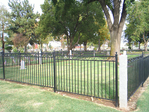
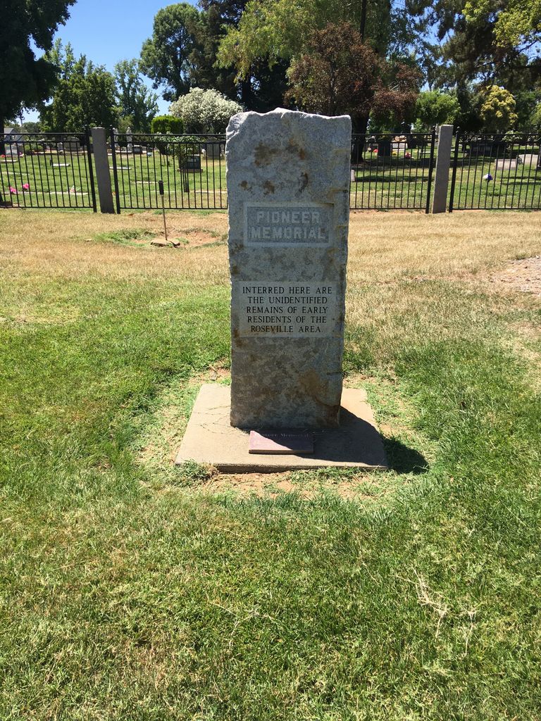
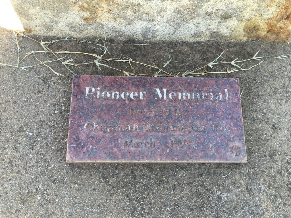
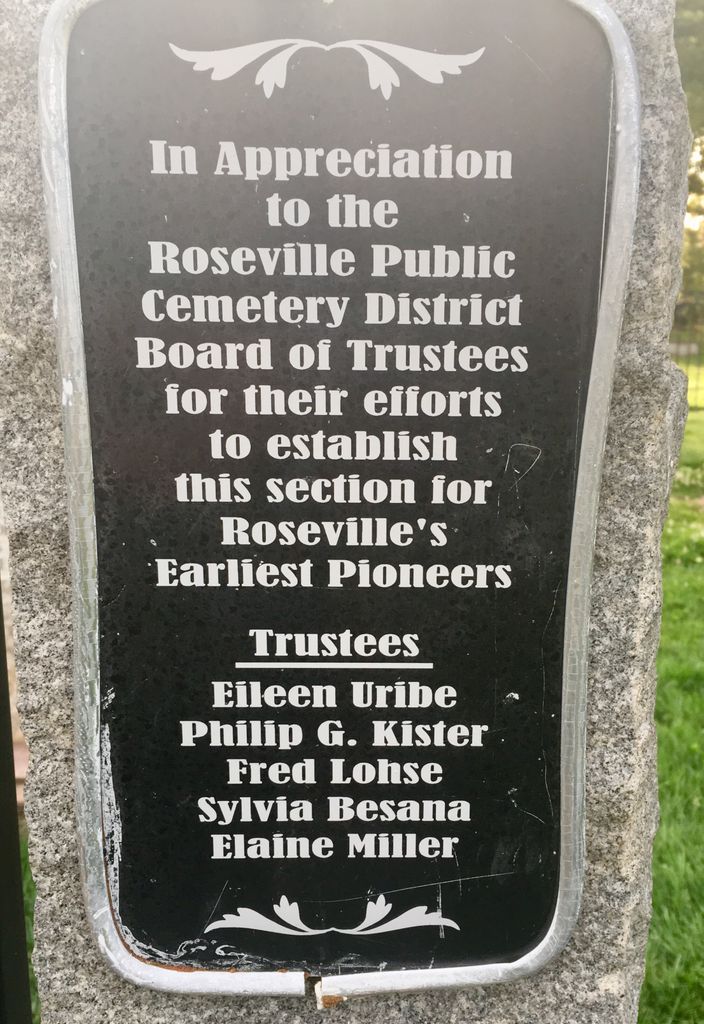
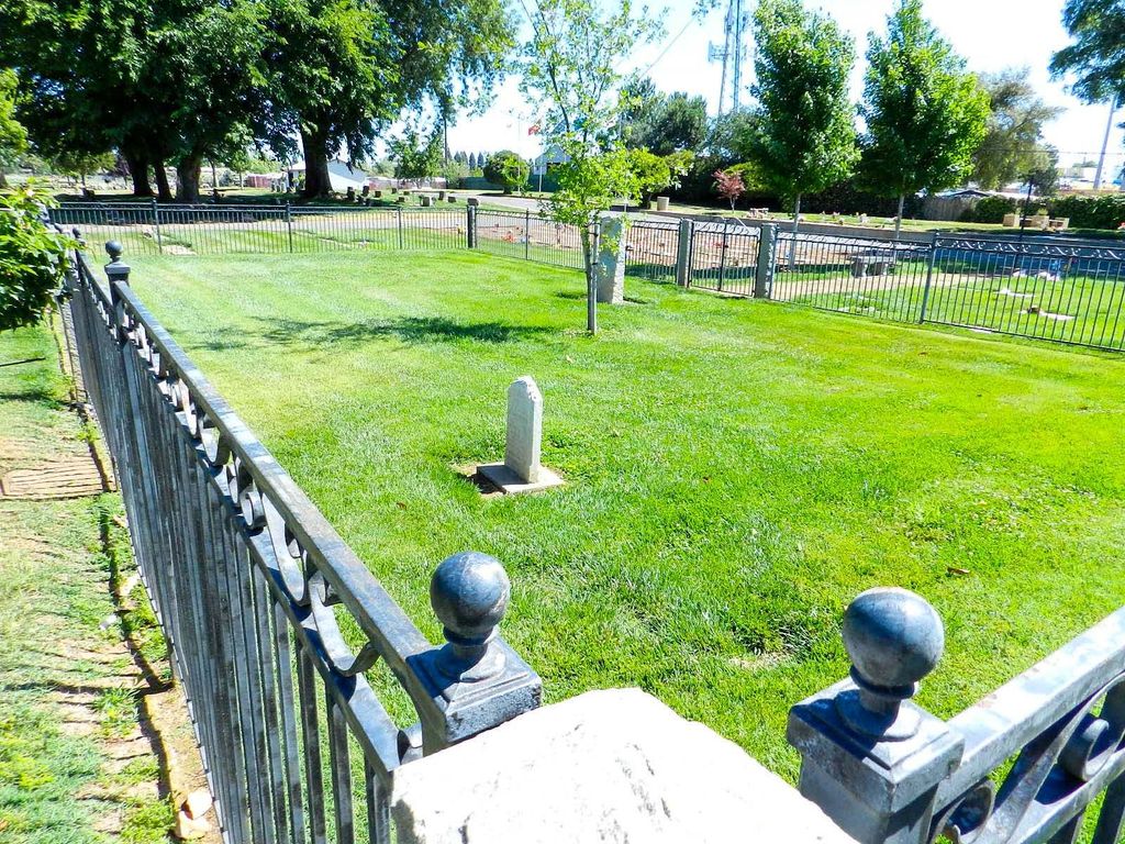
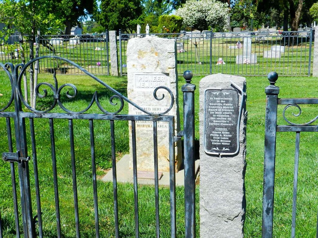
| Description | : | Also known as Pioneer Cemetery, Boothill Cemetery orginally was located on the corner of Folsom Road and Douglas Boulevard in Roseville. According to a 1909 newspaper article, the cemetery had become very rundown and deserted. A fire a few years before had destroyed the wooden headstones, and only two stone headstones remained. Most of the remains had been relocated by family to other cemeteries at that point, leaving about a dozen graves intact. In the 1960s, to make way for construction of Roseville Square, the last of the bodies were removed to the Roseville District Cemetery where they were re-interred... Read More |
frequently asked questions (FAQ):
-
Where is Boothill Cemetery?
Boothill Cemetery is located at Roseville, Placer County ,California ,USA.
-
Boothill Cemetery cemetery's updated grave count on graveviews.com?
0 memorials
-
Where are the coordinates of the Boothill Cemetery?
Latitude: 38.7598730
Longitude: -121.2712130
Nearby Cemetories:
1. Roseville Public Cemetery District
Roseville, Placer County, USA
Coordinate: 38.7606010, -121.2707977
2. Rocklin Cemetery
Rocklin, Placer County, USA
Coordinate: 38.7827670, -121.2337980
3. Sylvan Cemetery
Citrus Heights, Sacramento County, USA
Coordinate: 38.7001534, -121.2904587
4. Shepherd of the Sierra Memorial Garden
Loomis, Placer County, USA
Coordinate: 38.7890800, -121.1944200
5. Whitney Family Mausoleum
Rocklin, Placer County, USA
Coordinate: 38.8256500, -121.2477000
6. School House Park Cemetery
Roseville, Placer County, USA
Coordinate: 38.7893180, -121.3578670
7. Calvary Catholic Cemetery and Mausoleum
Sacramento, Sacramento County, USA
Coordinate: 38.6937180, -121.3233109
8. Mount Vernon Memorial Park
Fair Oaks, Sacramento County, USA
Coordinate: 38.6800003, -121.2566986
9. Sierra Hills Pet Cemetery
Sacramento, Sacramento County, USA
Coordinate: 38.6863500, -121.3305300
10. Sierra Hills Memorial Park
Sacramento, Sacramento County, USA
Coordinate: 38.6843987, -121.3281021
11. Union Cemetery
Roseville, Placer County, USA
Coordinate: 38.7302600, -121.3924200
12. Folsom Prison Cemetery
Folsom, Sacramento County, USA
Coordinate: 38.6952860, -121.1636690
13. Fair Oaks Cemetery
Fair Oaks, Sacramento County, USA
Coordinate: 38.6501167, -121.2792000
14. Young Wo Cemetery
Folsom, Sacramento County, USA
Coordinate: 38.6733400, -121.1835000
15. Lakeside Memorial Lawn Cemetery
Folsom, Sacramento County, USA
Coordinate: 38.6715300, -121.1841000
16. China Mission-Chung Wah Chinese Cemetery
Folsom, Sacramento County, USA
Coordinate: 38.6698410, -121.1851790
17. Saint John the Baptist Catholic Church Cemetery
Folsom, Sacramento County, USA
Coordinate: 38.6721900, -121.1803000
18. F.O.E. 929 Cemetery
Folsom, Sacramento County, USA
Coordinate: 38.6717010, -121.1801010
19. Fair Oaks United Methodist Church Memorial Garden
Fair Oaks, Sacramento County, USA
Coordinate: 38.6396300, -121.2744600
20. Prosser Family Cemetery
Loomis, Placer County, USA
Coordinate: 38.8071900, -121.1285600
21. Stewarts Flat Cemetery
Penryn, Placer County, USA
Coordinate: 38.8447360, -121.1507950
22. Mansur Family Cemetery
Loomis, Placer County, USA
Coordinate: 38.8139600, -121.1214000
23. Lincoln Cemetery
Lincoln, Placer County, USA
Coordinate: 38.8864310, -121.3020500
24. Santa Clara Memorial Park
Lincoln, Placer County, USA
Coordinate: 38.8894710, -121.3260560