
| Memorials | : | 0 |
| Location | : | Covington, Kenton County, USA |
| Coordinate | : | 39.0840890, -84.5151330 |
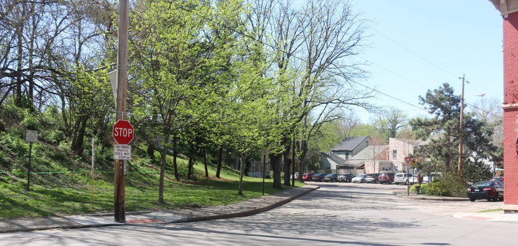
| Description | : | The Craig Street Burying Ground is described on pages 1 and 21 of the book "Linden Grove Cemetery Covington, Kentucky: Volume I – Interments", George C. Deyer, ©January 1998. The burying ground appears on the west side of Craig Street just north of its intersection with Sixth Street on the Map of the City of Covington from Actual Survey by Rickey, Kennedy & Clark, 1851, published by order of the City Council by R. H. Rickey & C. M. Clark. The book records that one account states the cemetery was established in 1815 with the first legal reference to it in... Read More |
frequently asked questions (FAQ):
-
Where is Craig Street Burying Ground?
Craig Street Burying Ground is located at Craig Street Covington, Kenton County ,Kentucky , 41011USA.
-
Craig Street Burying Ground cemetery's updated grave count on graveviews.com?
0 memorials
-
Where are the coordinates of the Craig Street Burying Ground?
Latitude: 39.0840890
Longitude: -84.5151330
Nearby Cemetories:
1. Mother of God Church
Covington, Kenton County, USA
Coordinate: 39.0839600, -84.5125700
2. Trinity Episcopal Church Memorial Garden
Covington, Kenton County, USA
Coordinate: 39.0873540, -84.5106140
3. Cathedral Basilica of the Assumption
Covington, Kenton County, USA
Coordinate: 39.0781120, -84.5081700
4. Linden Grove Cemetery
Covington, Kenton County, USA
Coordinate: 39.0738983, -84.5152969
5. McCrackin Gravesite
Cincinnati, Hamilton County, USA
Coordinate: 39.0964090, -84.5082230
6. Old Newport Cemetery
Newport, Campbell County, USA
Coordinate: 39.0877100, -84.4940800
7. First Quaker Cemetery (Defunct)
Cincinnati, Hamilton County, USA
Coordinate: 39.1004360, -84.5201220
8. First Presbyterian Church Cemetery
Cincinnati, Hamilton County, USA
Coordinate: 39.1005310, -84.5102830
9. Madison Street Burying Ground
Newport, Campbell County, USA
Coordinate: 39.0922790, -84.4948560
10. Christ Church Cathedral Columbarium
Cincinnati, Hamilton County, USA
Coordinate: 39.1009690, -84.5073790
11. Montague Cemetery
Covington, Kenton County, USA
Coordinate: 39.0805560, -84.5380550
12. Wesleyan Chapel Methodist Church Cemetery
Cincinnati, Hamilton County, USA
Coordinate: 39.1022390, -84.5073540
13. Wilson Cemetery
Covington, Kenton County, USA
Coordinate: 39.0786110, -84.5438900
14. Enon Baptist Church Burying Ground (Defunct)
Cincinnati, Hamilton County, USA
Coordinate: 39.1065420, -84.5238110
15. Catherine Street Methodist Cemetery (Defunct)
Cincinnati, Hamilton County, USA
Coordinate: 39.1064840, -84.5243150
16. Sisters of Notre Dame Cemetery
Park Hills, Kenton County, USA
Coordinate: 39.0637530, -84.5303120
17. Chestnut Street Cemetery
Over-The-Rhine, Hamilton County, USA
Coordinate: 39.1071610, -84.5212210
18. Mount Saint Martins Cemetery (Defunct)
Newport, Campbell County, USA
Coordinate: 39.0860570, -84.4845320
19. Catherine Street Burying Ground
Cincinnati, Hamilton County, USA
Coordinate: 39.1067490, -84.5252700
20. Presbyterian Burying Ground
Cincinnati, Hamilton County, USA
Coordinate: 39.1082510, -84.5175720
21. Thomas Williams Cemetery (Defunct)
Cincinnati, Hamilton County, USA
Coordinate: 39.1085060, -84.5146050
22. Potters Field
Cincinnati, Hamilton County, USA
Coordinate: 39.1094440, -84.5188890
23. Christ Episcopal Churchyard (Defunct)
Cincinnati, Hamilton County, USA
Coordinate: 39.1100520, -84.5177220
24. Buena Vista Cemetery
Covington, Kenton County, USA
Coordinate: 39.0595200, -84.5040000