
| Memorials | : | 0 |
| Location | : | Lørenskog kommune, Norway |
| Coordinate | : | 59.9249280, 10.9863810 |
frequently asked questions (FAQ):
-
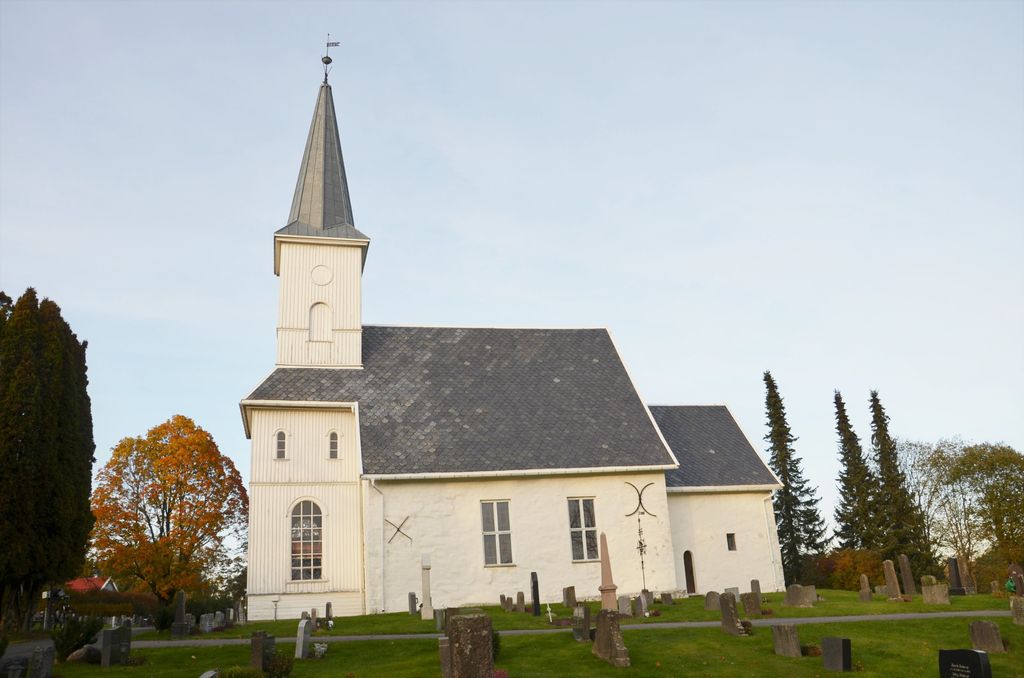
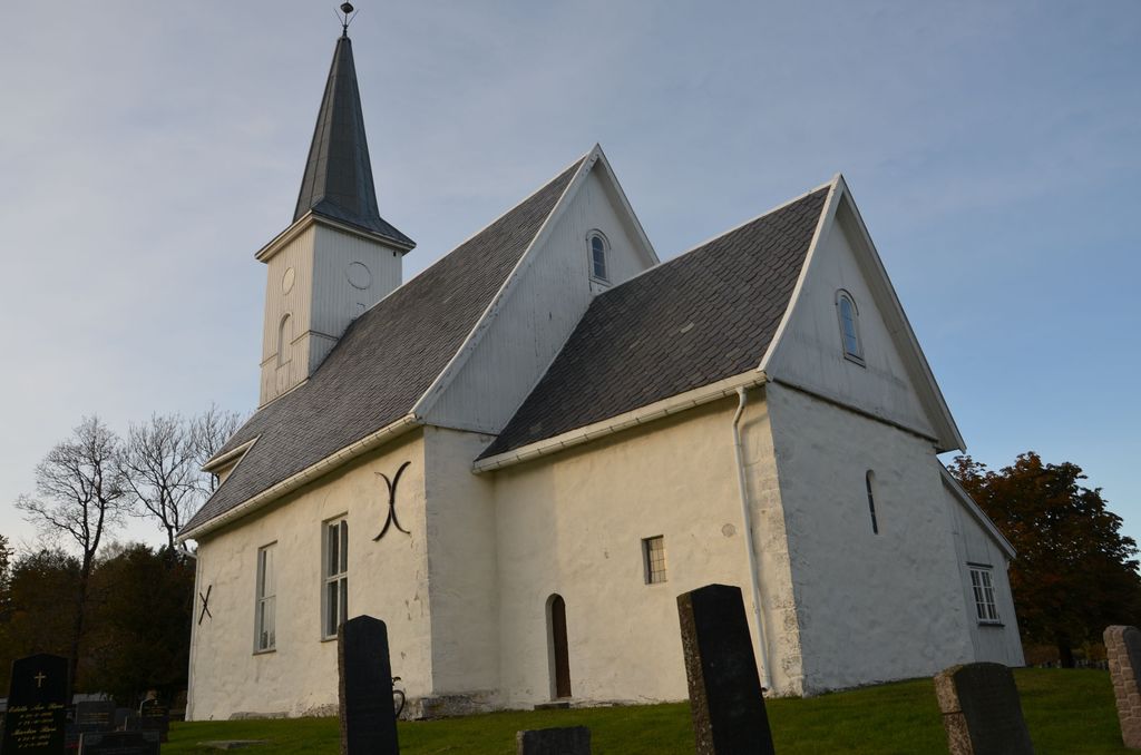
Where is Lørenskog Cemetery?
Lørenskog Cemetery is located at Lørenskog kommune ,Akershus fylke ,Norway.
-
Lørenskog Cemetery cemetery's updated grave count on graveviews.com?
0 memorials
-
Where are the coordinates of the Lørenskog Cemetery?
Latitude: 59.9249280
Longitude: 10.9863810


Nearby Cemetories:
1. Stalsberghagen
Lillestrom, Skedsmo kommune, Norway
Coordinate: 59.9458370, 11.0213320
2. Høybråten kirkegård
Oslo, Oslo kommune, Norway
Coordinate: 59.9435670, 10.9113910
3. Rælingen kirkegård
Fjerdingby, Rælingen kommune, Norway
Coordinate: 59.9207950, 11.0832020
4. Lillestrøm
Lillestrom, Skedsmo kommune, Norway
Coordinate: 59.9500008, 11.0833330
5. Grorud kirkegård
Oslo, Oslo kommune, Norway
Coordinate: 59.9573990, 10.8841250
6. Alfaset gravlund
Oslo, Oslo kommune, Norway
Coordinate: 59.9337100, 10.8583210
7. Alfaset – tysk krigskirkegård
Oslo, Oslo kommune, Norway
Coordinate: 59.9314700, 10.8559100
8. Skedsmo kirkegaard
Skedsmo kommune, Norway
Coordinate: 59.9942540, 11.0464590
9. Østre Aker kirkegård
Okern, Oslo kommune, Norway
Coordinate: 59.9217730, 10.8197180
10. Helsfyr gravlund
Oslo, Oslo kommune, Norway
Coordinate: 59.9132810, 10.8124210
11. Østre Gravlund
Oslo, Oslo kommune, Norway
Coordinate: 59.9130300, 10.8088490
12. Bekkelaget urnelund
Oslo, Oslo kommune, Norway
Coordinate: 59.8849135, 10.7881908
13. Gamlebyen Gravlund
Oslo, Oslo kommune, Norway
Coordinate: 59.9046240, 10.7709790
14. Sofienberg jødiske gravlund
Oslo, Oslo kommune, Norway
Coordinate: 59.9229390, 10.7668660
15. Hallvardskatedralens ruin
Oslo, Oslo kommune, Norway
Coordinate: 59.9058810, 10.7686740
16. Grefsen kirkegård
Oslo, Oslo kommune, Norway
Coordinate: 59.9553656, 10.7710968
17. Nordstrand kirkegård
Oslo, Oslo kommune, Norway
Coordinate: 59.8591400, 10.8031780
18. Mariekirkens ruin
Oslo, Oslo kommune, Norway
Coordinate: 59.9034515, 10.7621204
19. Klemetsrud kirkegård
Oslo, Oslo kommune, Norway
Coordinate: 59.8319960, 10.8513850
20. Nordre gravlund
Oslo, Oslo kommune, Norway
Coordinate: 59.9371400, 10.7483990
21. Gamle Aker kirkegård
Oslo, Oslo kommune, Norway
Coordinate: 59.9237680, 10.7469560
22. Krist kirkegård
Oslo, Oslo kommune, Norway
Coordinate: 59.9172300, 10.7467380
23. Vår Frelsers gravlund
Oslo, Oslo kommune, Norway
Coordinate: 59.9199500, 10.7435400
24. Det kongelige mausoleum i Akershus Slott
Oslo, Oslo kommune, Norway
Coordinate: 59.9067600, 10.7361560