| Memorials | : | 0 |
| Location | : | Oslo, Oslo kommune, Norway |
| Coordinate | : | 59.9314700, 10.8559100 |
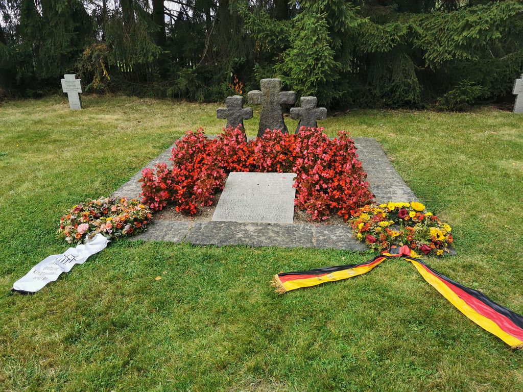
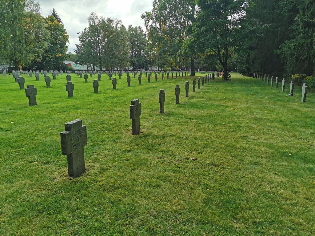
| Description | : | The German War Cemetery became a separate site, isolated from the municipal burial ground, with boundary plantings and stone fences and with its own entrance from Strømsveien - it was established in 1952. Here there are 3207 graves, of which 2956 have been moved from Ekeberg. Some of the German soldiers who fell in Norway immediately after Germany's invasion of the country were first placed in "makeshift" graves on Vestre gravlund. The coffins were placed two in height due to lack of space. This had fallen after the sinking of "Blücher" in... Read More |
frequently asked questions (FAQ):
-
Where is Alfaset – tysk krigskirkegård?
Alfaset – tysk krigskirkegård is located at Nedre Kalbakkvei 99 Oslo, Oslo kommune ,Oslo fylke , 1081Norway.
-
Alfaset – tysk krigskirkegård cemetery's updated grave count on graveviews.com?
0 memorials
-
Where are the coordinates of the Alfaset – tysk krigskirkegård?
Latitude: 59.9314700
Longitude: 10.8559100
Nearby Cemetories:
1. Alfaset gravlund
Oslo, Oslo kommune, Norway
Coordinate: 59.9337100, 10.8583210
2. Østre Aker kirkegård
Okern, Oslo kommune, Norway
Coordinate: 59.9217730, 10.8197180
3. Helsfyr gravlund
Oslo, Oslo kommune, Norway
Coordinate: 59.9132810, 10.8124210
4. Grorud kirkegård
Oslo, Oslo kommune, Norway
Coordinate: 59.9573990, 10.8841250
5. Østre Gravlund
Oslo, Oslo kommune, Norway
Coordinate: 59.9130300, 10.8088490
6. Høybråten kirkegård
Oslo, Oslo kommune, Norway
Coordinate: 59.9435670, 10.9113910
7. Sofienberg jødiske gravlund
Oslo, Oslo kommune, Norway
Coordinate: 59.9229390, 10.7668660
8. Grefsen kirkegård
Oslo, Oslo kommune, Norway
Coordinate: 59.9553656, 10.7710968
9. Gamlebyen Gravlund
Oslo, Oslo kommune, Norway
Coordinate: 59.9046240, 10.7709790
10. Hallvardskatedralens ruin
Oslo, Oslo kommune, Norway
Coordinate: 59.9058810, 10.7686740
11. Nordre gravlund
Oslo, Oslo kommune, Norway
Coordinate: 59.9371400, 10.7483990
12. Mariekirkens ruin
Oslo, Oslo kommune, Norway
Coordinate: 59.9034515, 10.7621204
13. Gamle Aker kirkegård
Oslo, Oslo kommune, Norway
Coordinate: 59.9237680, 10.7469560
14. Krist kirkegård
Oslo, Oslo kommune, Norway
Coordinate: 59.9172300, 10.7467380
15. Vår Frelsers gravlund
Oslo, Oslo kommune, Norway
Coordinate: 59.9199500, 10.7435400
16. Bekkelaget urnelund
Oslo, Oslo kommune, Norway
Coordinate: 59.8849135, 10.7881908
17. Vestre Aker kirkegård
Oslo, Oslo kommune, Norway
Coordinate: 59.9369400, 10.7291200
18. Det kongelige mausoleum i Akershus Slott
Oslo, Oslo kommune, Norway
Coordinate: 59.9067600, 10.7361560
19. Lørenskog Cemetery
Lørenskog kommune, Norway
Coordinate: 59.9249280, 10.9863810
20. Nordstrand kirkegård
Oslo, Oslo kommune, Norway
Coordinate: 59.8591400, 10.8031780
21. Vestre Gravlund
Oslo, Oslo kommune, Norway
Coordinate: 59.9306100, 10.6998500
22. Ris urnelund
Oslo, Oslo kommune, Norway
Coordinate: 59.9478110, 10.7012330
23. Stalsberghagen
Lillestrom, Skedsmo kommune, Norway
Coordinate: 59.9458370, 11.0213320
24. Klemetsrud kirkegård
Oslo, Oslo kommune, Norway
Coordinate: 59.8319960, 10.8513850


