| Memorials | : | 0 |
| Location | : | Oslo, Oslo kommune, Norway |
| Coordinate | : | 59.9337100, 10.8583210 |
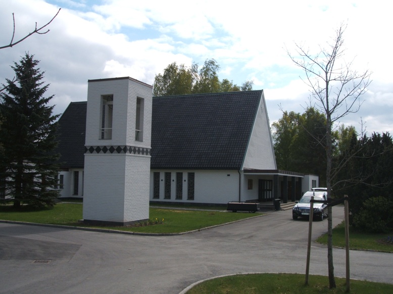
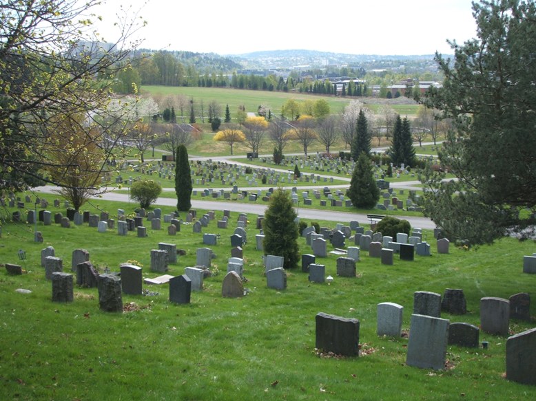
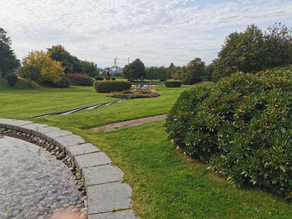
| Description | : | Alfaset gravlund is a cemetery in the district of Alna in Oslo - it has a total of 9,620 graves. The two farms, Arveset and Grav, were purchased by the municipality of Oslo in 1950 with the purpose of constructing a cemetery. In 1952, a section of the cemetery was used for German war graves. It was not until September 1972 that the rest of the burial ground was taken into use. Alfaset chapel is located on the cemetery, it was built in 1972. On the cemetery there are separate fields... Read More |
frequently asked questions (FAQ):
-
Where is Alfaset gravlund?
Alfaset gravlund is located at Nedre Kalbakkvei 99 Oslo, Oslo kommune ,Oslo fylke , 1081Norway.
-
Alfaset gravlund cemetery's updated grave count on graveviews.com?
0 memorials
-
Where are the coordinates of the Alfaset gravlund?
Latitude: 59.9337100
Longitude: 10.8583210
Nearby Cemetories:
1. Alfaset – tysk krigskirkegård
Oslo, Oslo kommune, Norway
Coordinate: 59.9314700, 10.8559100
2. Østre Aker kirkegård
Okern, Oslo kommune, Norway
Coordinate: 59.9217730, 10.8197180
3. Grorud kirkegård
Oslo, Oslo kommune, Norway
Coordinate: 59.9573990, 10.8841250
4. Høybråten kirkegård
Oslo, Oslo kommune, Norway
Coordinate: 59.9435670, 10.9113910
5. Helsfyr gravlund
Oslo, Oslo kommune, Norway
Coordinate: 59.9132810, 10.8124210
6. Østre Gravlund
Oslo, Oslo kommune, Norway
Coordinate: 59.9130300, 10.8088490
7. Sofienberg jødiske gravlund
Oslo, Oslo kommune, Norway
Coordinate: 59.9229390, 10.7668660
8. Grefsen kirkegård
Oslo, Oslo kommune, Norway
Coordinate: 59.9553656, 10.7710968
9. Gamlebyen Gravlund
Oslo, Oslo kommune, Norway
Coordinate: 59.9046240, 10.7709790
10. Hallvardskatedralens ruin
Oslo, Oslo kommune, Norway
Coordinate: 59.9058810, 10.7686740
11. Nordre gravlund
Oslo, Oslo kommune, Norway
Coordinate: 59.9371400, 10.7483990
12. Gamle Aker kirkegård
Oslo, Oslo kommune, Norway
Coordinate: 59.9237680, 10.7469560
13. Mariekirkens ruin
Oslo, Oslo kommune, Norway
Coordinate: 59.9034515, 10.7621204
14. Krist kirkegård
Oslo, Oslo kommune, Norway
Coordinate: 59.9172300, 10.7467380
15. Vår Frelsers gravlund
Oslo, Oslo kommune, Norway
Coordinate: 59.9199500, 10.7435400
16. Bekkelaget urnelund
Oslo, Oslo kommune, Norway
Coordinate: 59.8849135, 10.7881908
17. Lørenskog Cemetery
Lørenskog kommune, Norway
Coordinate: 59.9249280, 10.9863810
18. Vestre Aker kirkegård
Oslo, Oslo kommune, Norway
Coordinate: 59.9369400, 10.7291200
19. Det kongelige mausoleum i Akershus Slott
Oslo, Oslo kommune, Norway
Coordinate: 59.9067600, 10.7361560
20. Vestre Gravlund
Oslo, Oslo kommune, Norway
Coordinate: 59.9306100, 10.6998500
21. Nordstrand kirkegård
Oslo, Oslo kommune, Norway
Coordinate: 59.8591400, 10.8031780
22. Ris urnelund
Oslo, Oslo kommune, Norway
Coordinate: 59.9478110, 10.7012330
23. Stalsberghagen
Lillestrom, Skedsmo kommune, Norway
Coordinate: 59.9458370, 11.0213320
24. Klemetsrud kirkegård
Oslo, Oslo kommune, Norway
Coordinate: 59.8319960, 10.8513850


