
| Memorials | : | 9547 |
| Location | : | Fair Oaks, Sacramento County, USA |
| Phone | : | 916-969-1251 |
| Coordinate | : | 38.6800003, -121.2566986 |
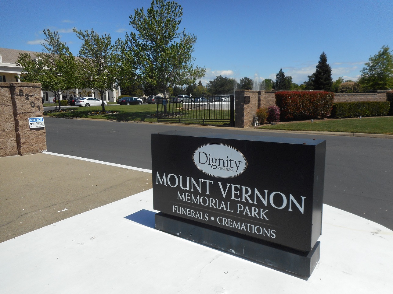
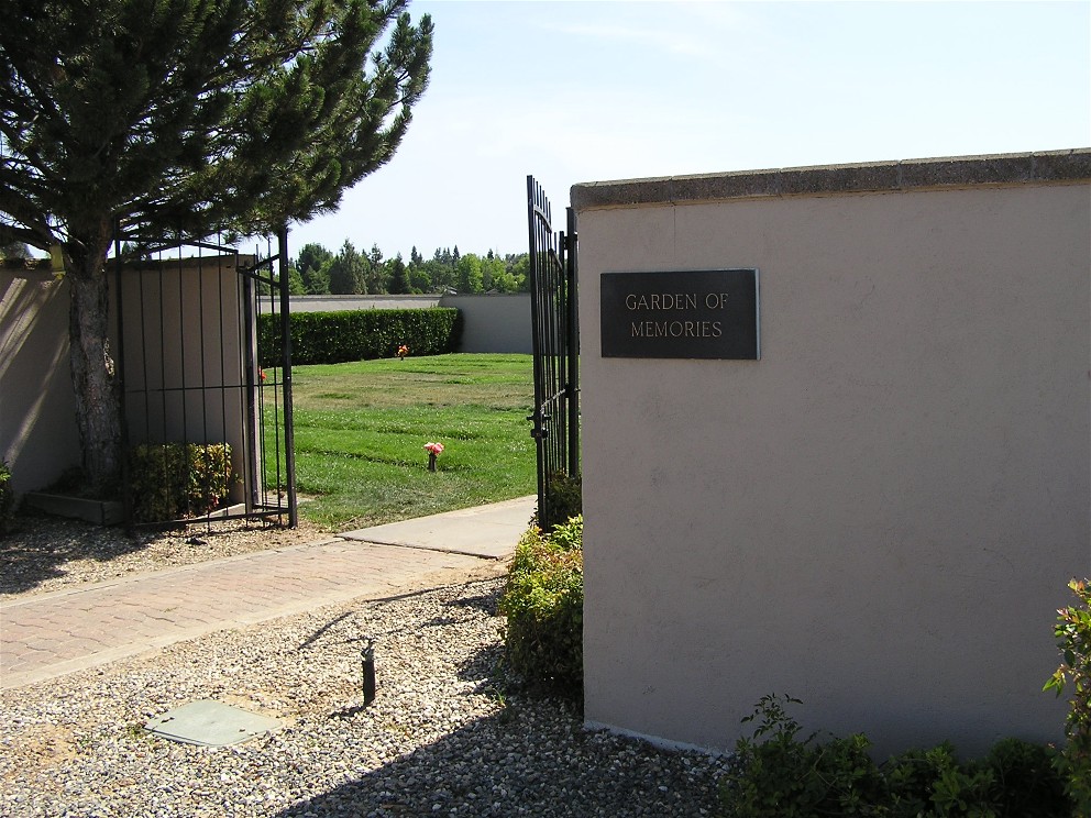
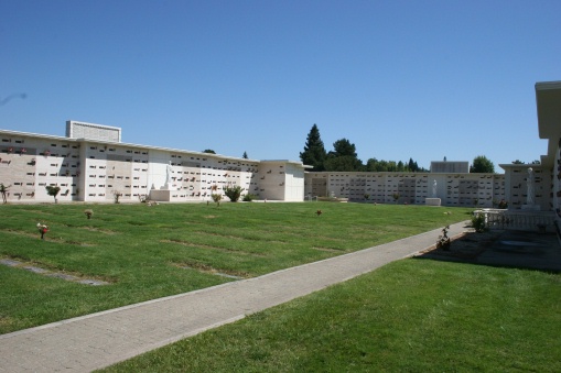
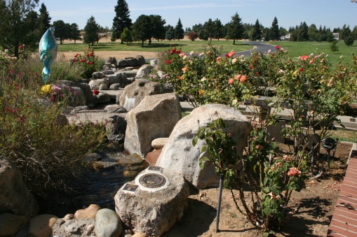
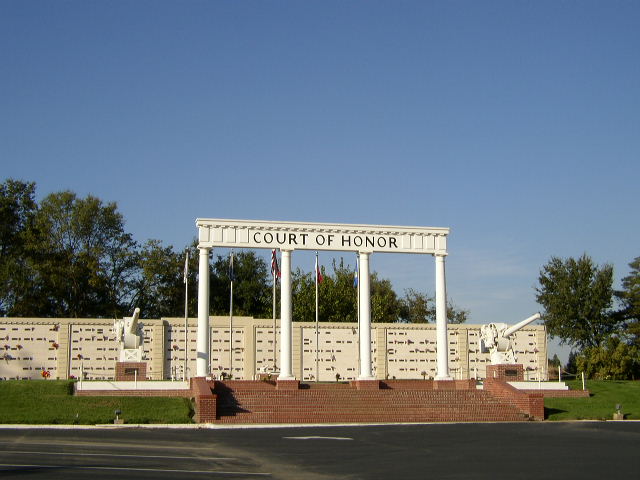
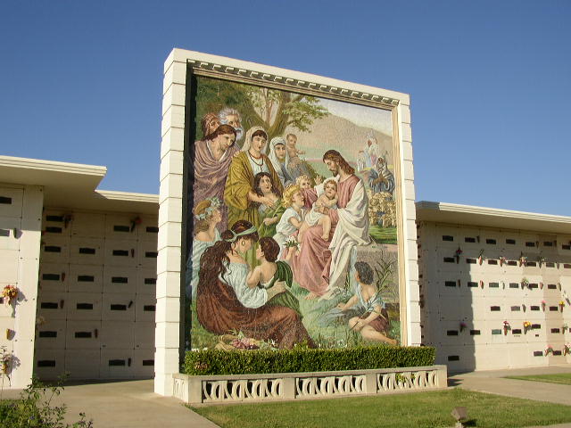
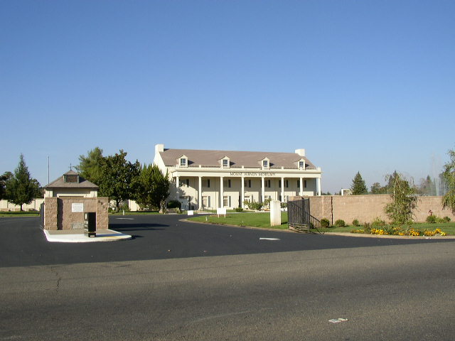
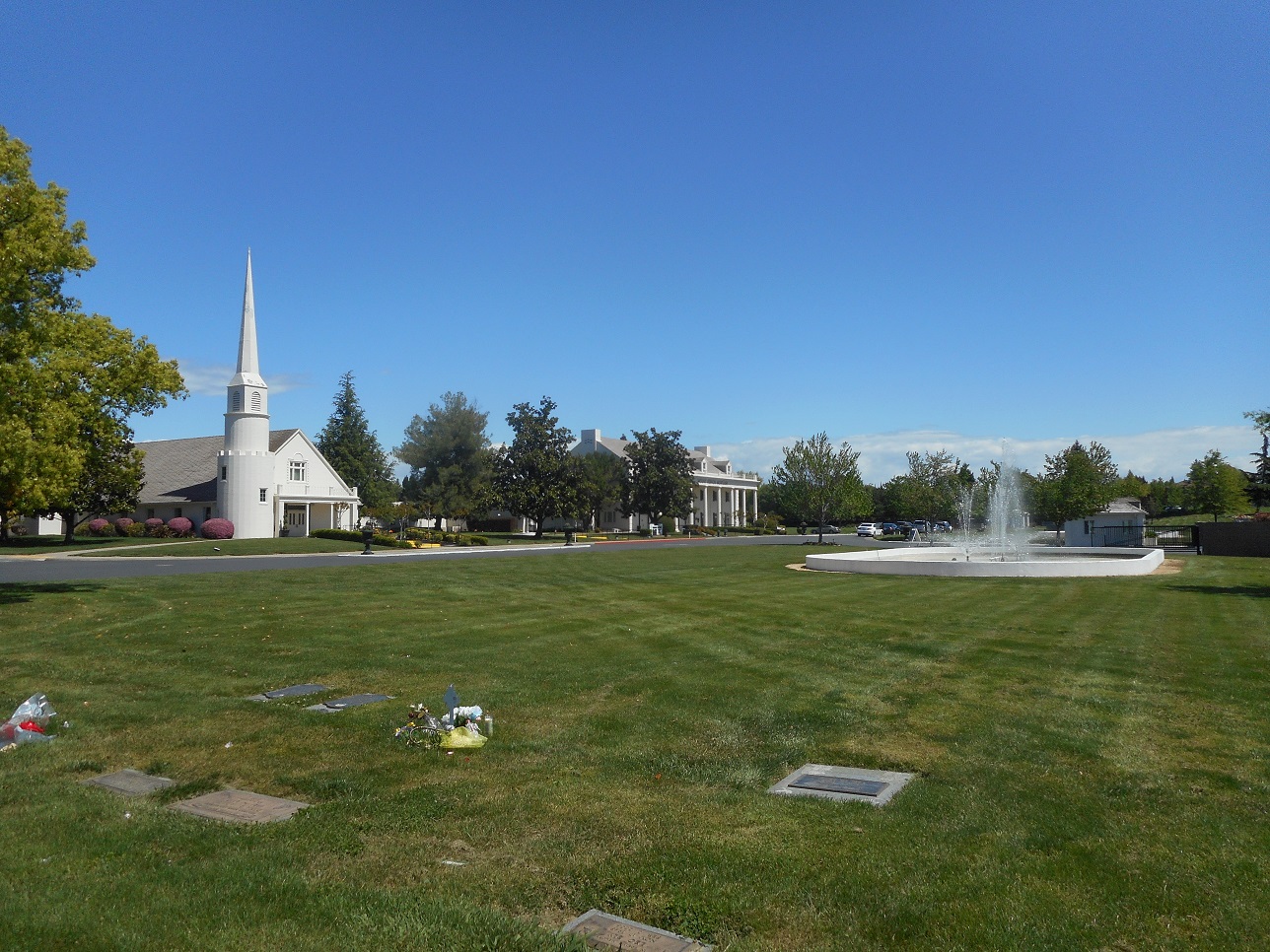
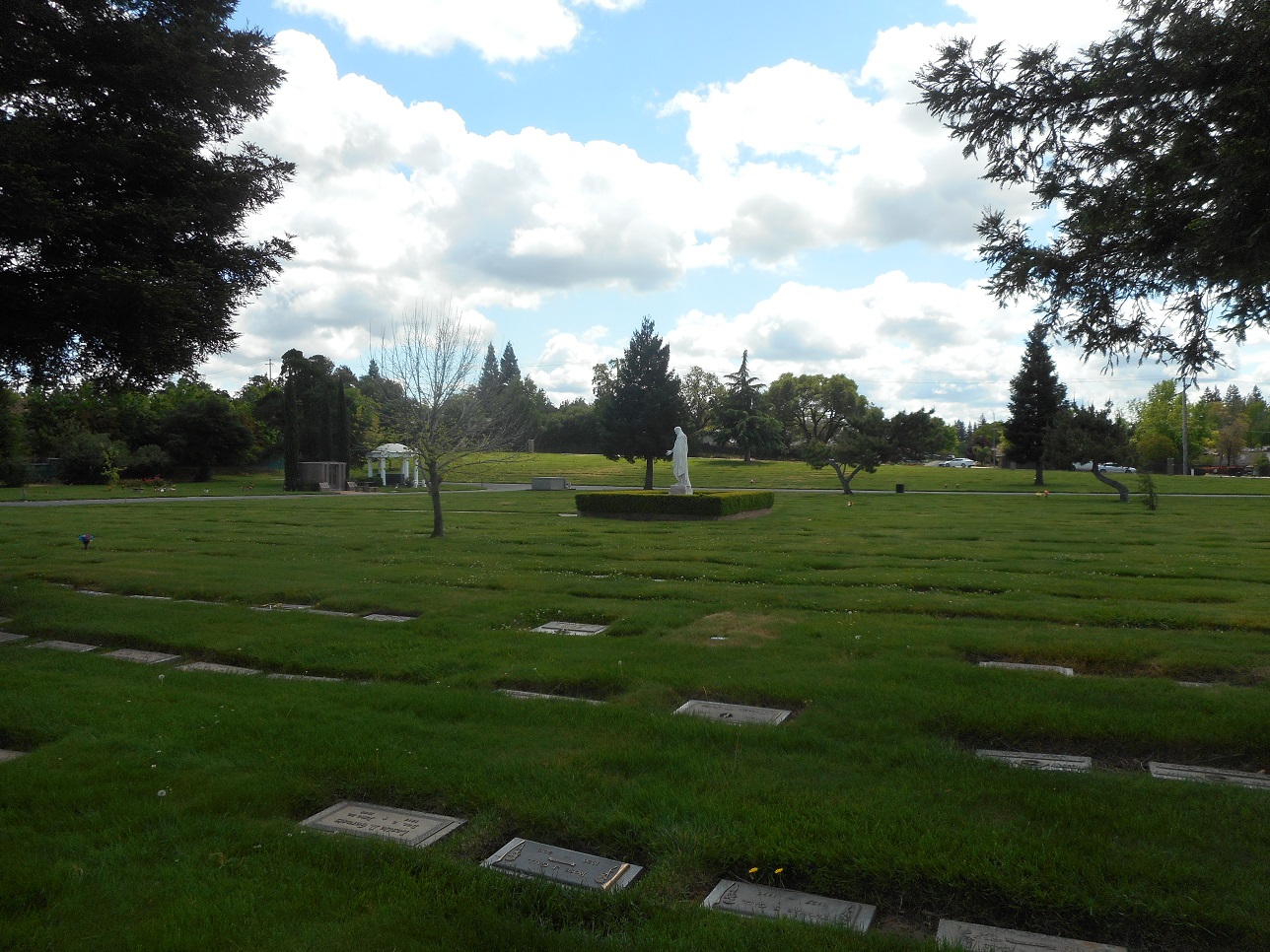
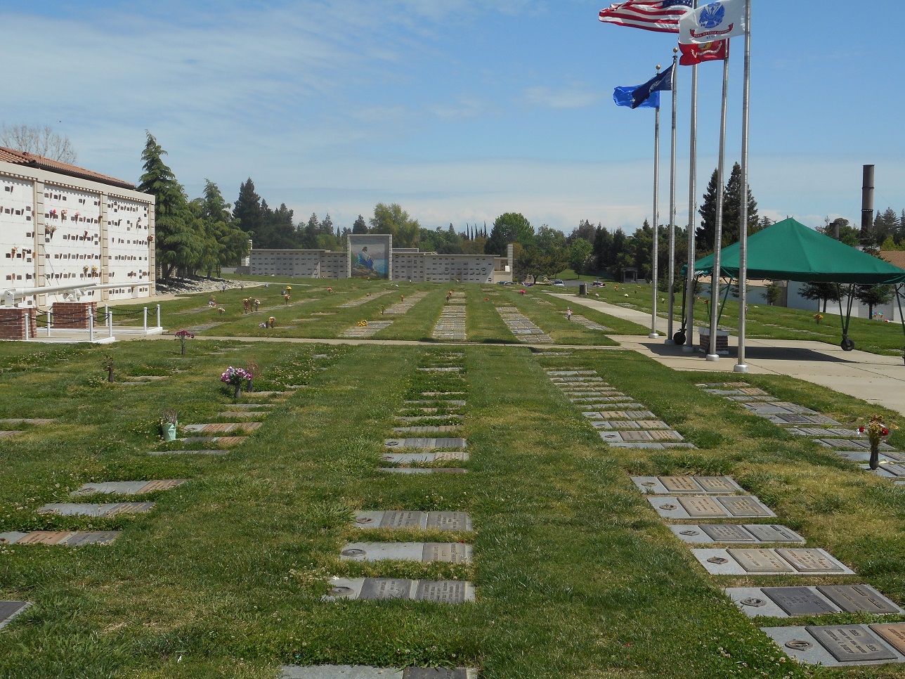
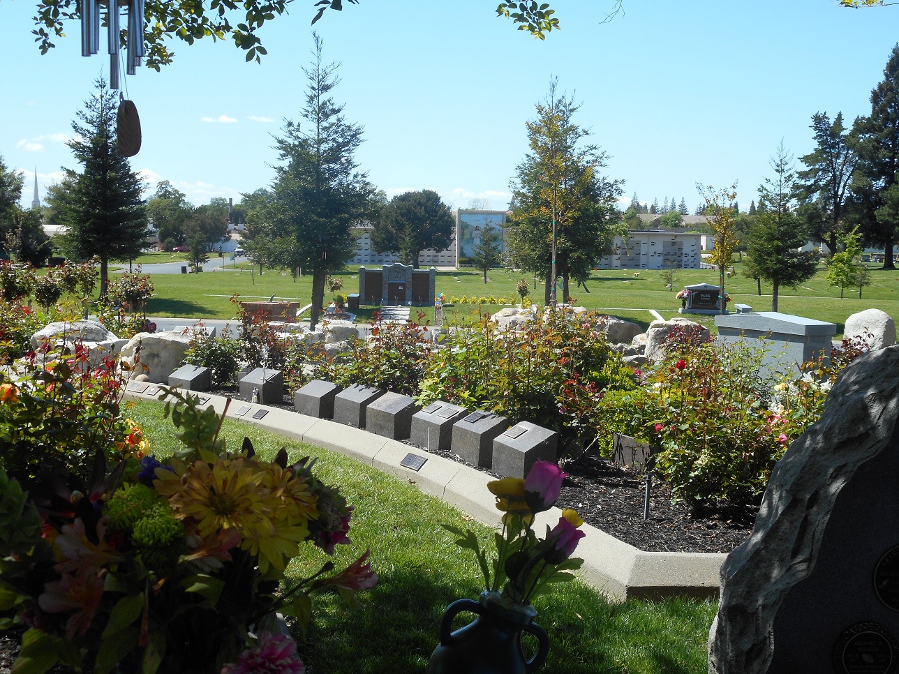
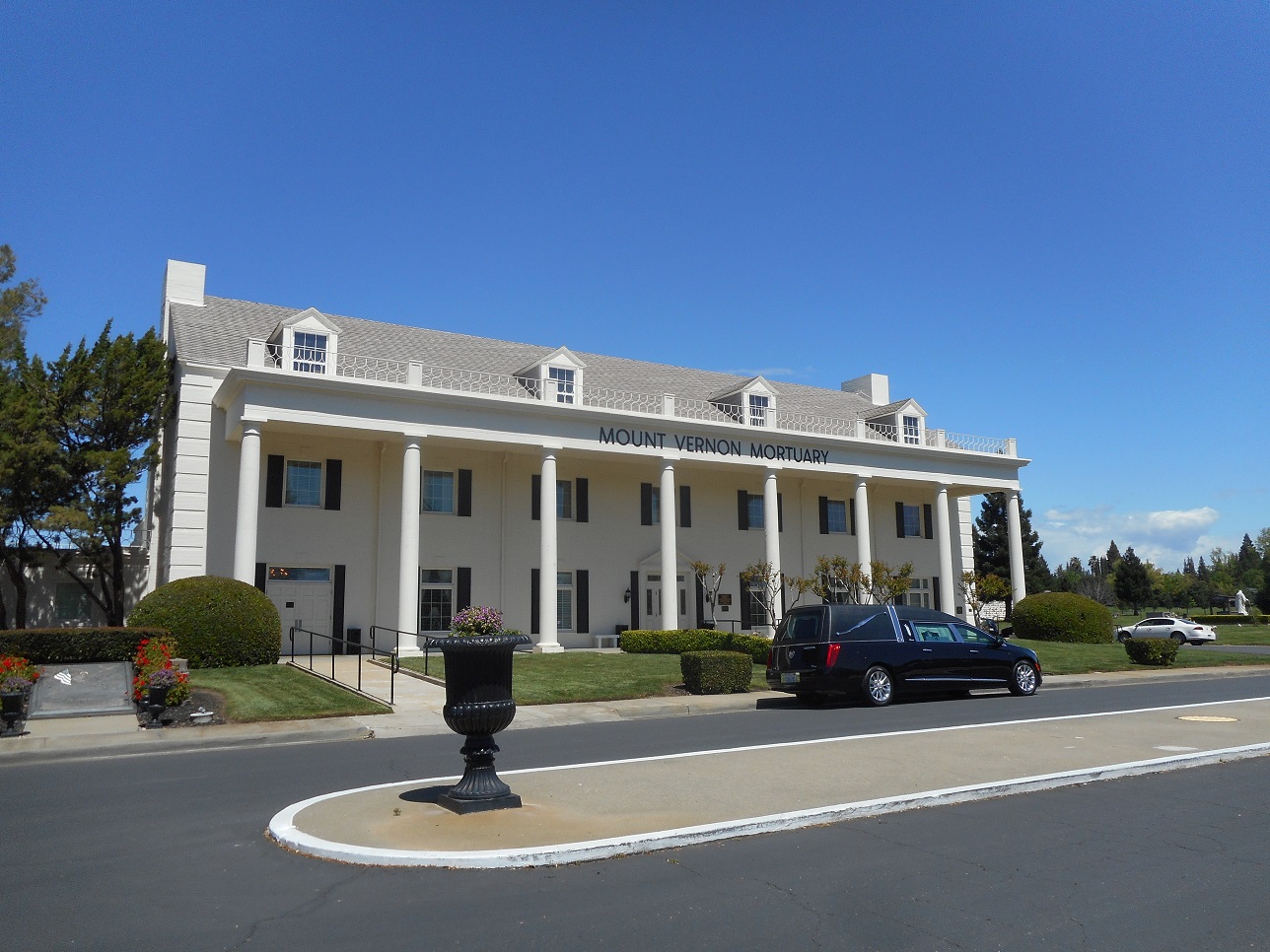
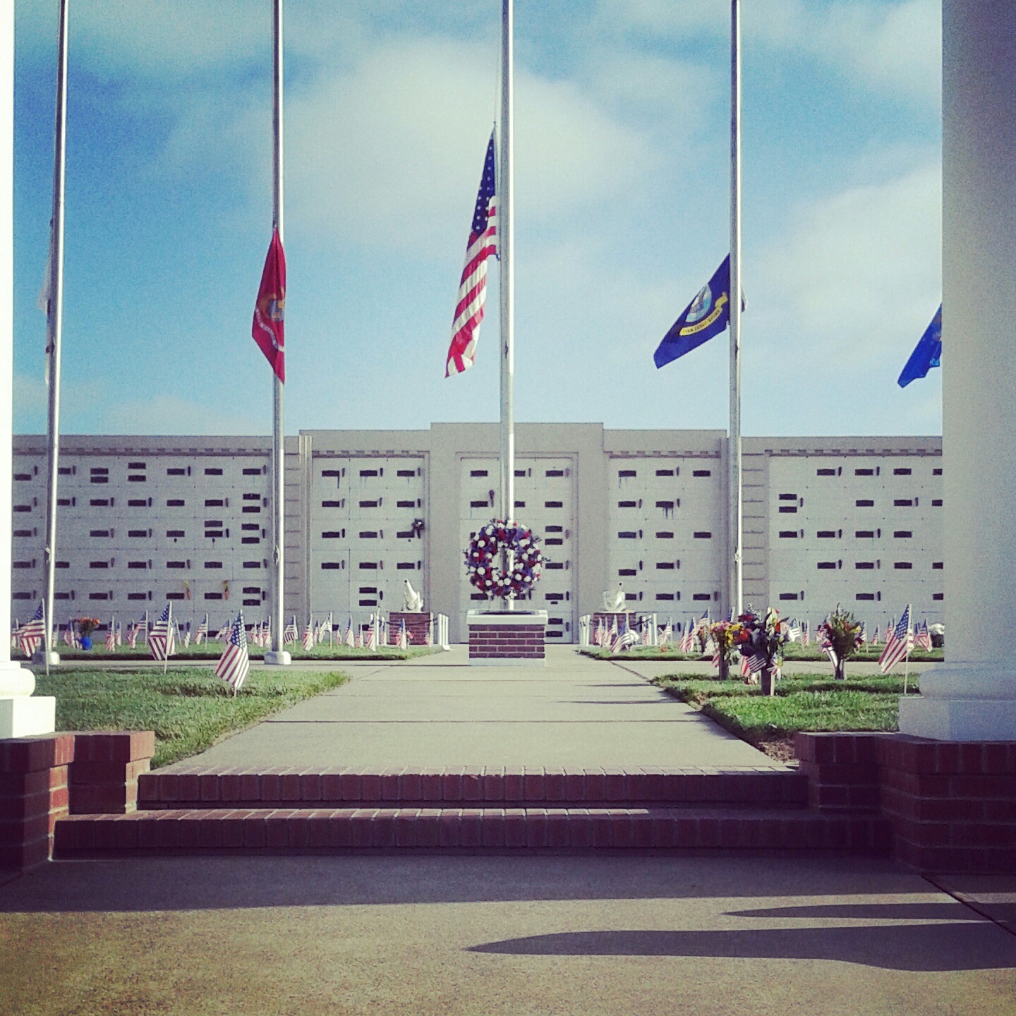
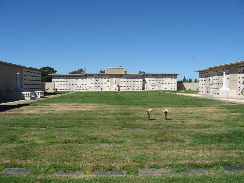
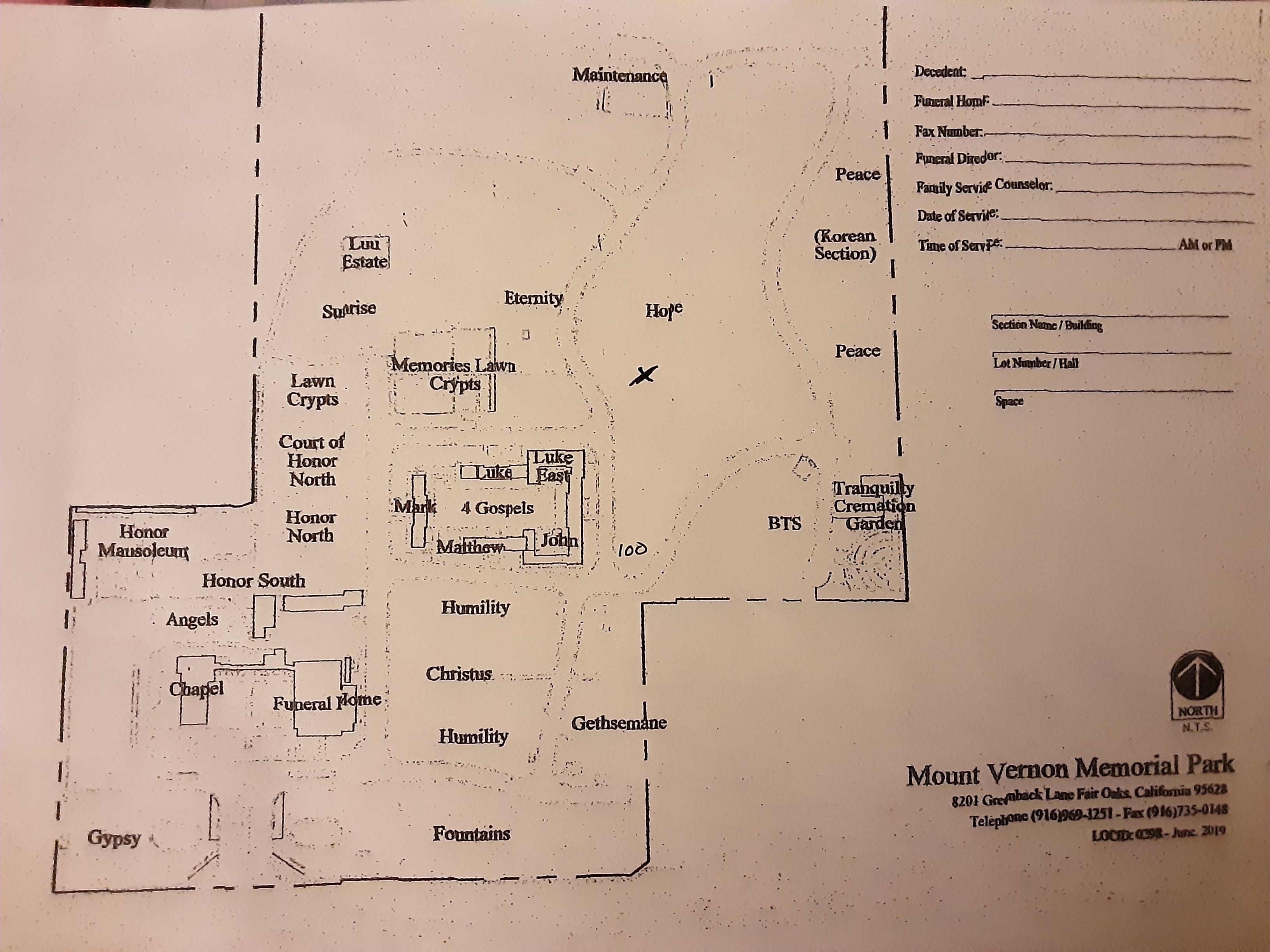
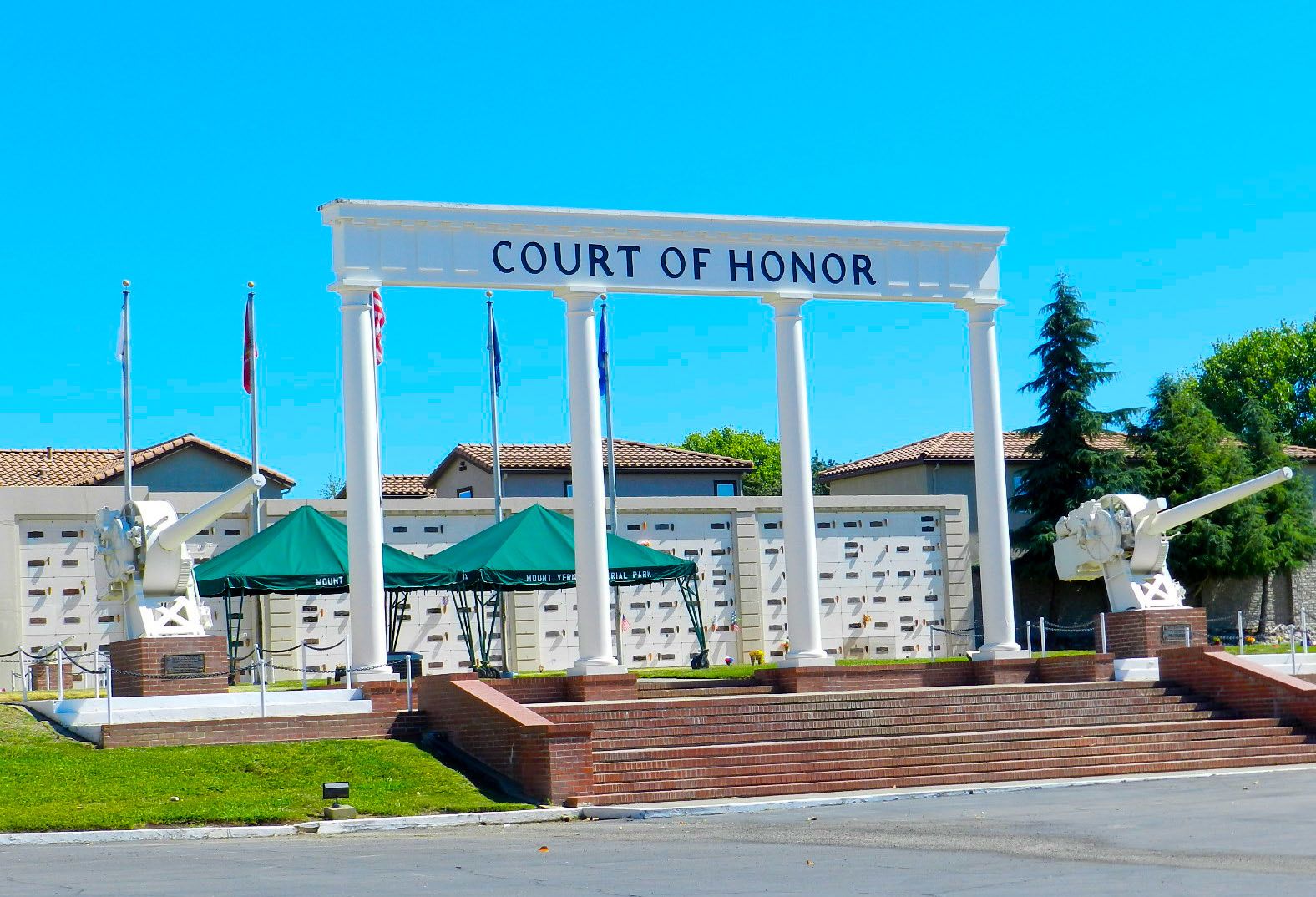
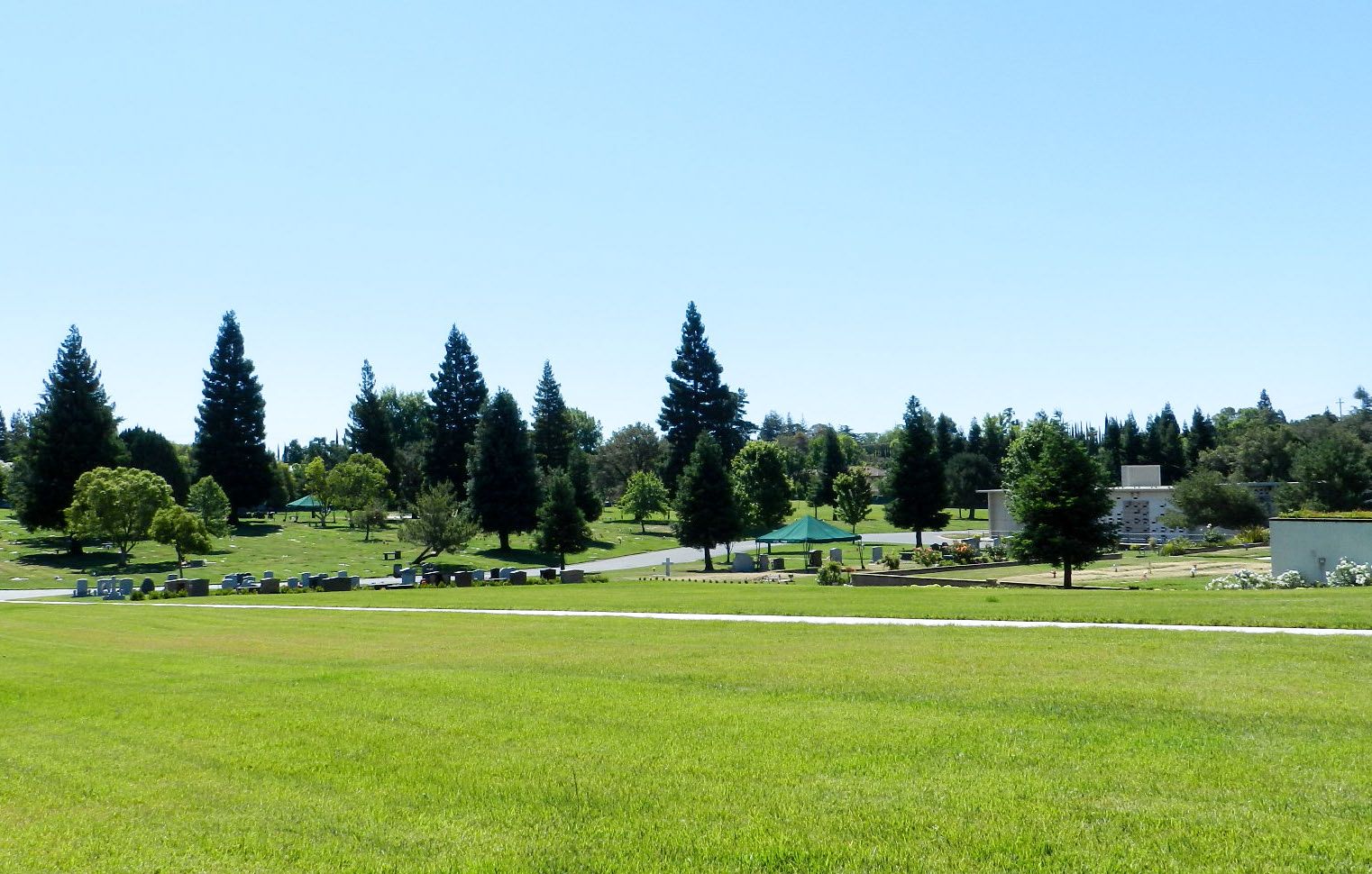
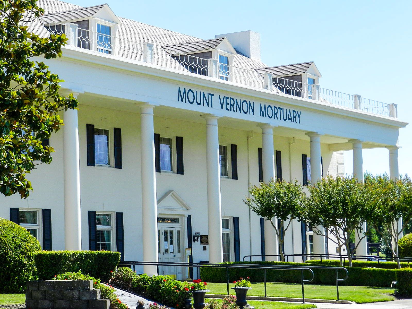
| Description | : | Mount Vernon Memorial Park was established in 1966 by Foy Bryant. The memorial park is situated on 49 acres distinguished by a well-kept lawn and a wonderful assortment of established trees. The main building is a replica of George Washington's home, Mount Vernon. At the main entrance, there are two large fountains, a statue of George Washington, and a replica of the Liberty Bell. The property also features a monument honoring those who were lost on September 11, a veteran’s garden including pillars and cannons, and a Four Gospels Garden featuring building-size mosaics. |
frequently asked questions (FAQ):
-
Where is Mount Vernon Memorial Park?
Mount Vernon Memorial Park is located at 8201 Greenback Lane Fair Oaks, Sacramento County ,California , 95628USA.
-
Mount Vernon Memorial Park cemetery's updated grave count on graveviews.com?
9545 memorials
-
Where are the coordinates of the Mount Vernon Memorial Park?
Latitude: 38.6800003
Longitude: -121.2566986
Nearby Cemetories:
1. Sylvan Cemetery
Citrus Heights, Sacramento County, USA
Coordinate: 38.7001534, -121.2904587
2. Fair Oaks Cemetery
Fair Oaks, Sacramento County, USA
Coordinate: 38.6501167, -121.2792000
3. Fair Oaks United Methodist Church Memorial Garden
Fair Oaks, Sacramento County, USA
Coordinate: 38.6396300, -121.2744600
4. Calvary Catholic Cemetery and Mausoleum
Sacramento, Sacramento County, USA
Coordinate: 38.6937180, -121.3233109
5. Sierra Hills Memorial Park
Sacramento, Sacramento County, USA
Coordinate: 38.6843987, -121.3281021
6. China Mission-Chung Wah Chinese Cemetery
Folsom, Sacramento County, USA
Coordinate: 38.6698410, -121.1851790
7. Lakeside Memorial Lawn Cemetery
Folsom, Sacramento County, USA
Coordinate: 38.6715300, -121.1841000
8. Young Wo Cemetery
Folsom, Sacramento County, USA
Coordinate: 38.6733400, -121.1835000
9. Sierra Hills Pet Cemetery
Sacramento, Sacramento County, USA
Coordinate: 38.6863500, -121.3305300
10. Saint John the Baptist Catholic Church Cemetery
Folsom, Sacramento County, USA
Coordinate: 38.6721900, -121.1803000
11. F.O.E. 929 Cemetery
Folsom, Sacramento County, USA
Coordinate: 38.6717010, -121.1801010
12. Folsom Prison Cemetery
Folsom, Sacramento County, USA
Coordinate: 38.6952860, -121.1636690
13. Boothill Cemetery
Roseville, Placer County, USA
Coordinate: 38.7598730, -121.2712130
14. Roseville Public Cemetery District
Roseville, Placer County, USA
Coordinate: 38.7606010, -121.2707977
15. Kilgore Cemetery
Rancho Cordova, Sacramento County, USA
Coordinate: 38.5978012, -121.2683029
16. Carmichael Presbyterian Church Columbarium
Carmichael, Sacramento County, USA
Coordinate: 38.6179500, -121.3324500
17. Rocklin Cemetery
Rocklin, Placer County, USA
Coordinate: 38.7827670, -121.2337980
18. Saint Michaels Episcopal Church Columbarium
Carmichael, Sacramento County, USA
Coordinate: 38.6042800, -121.3547200
19. Mormon Island Relocation Cemetery
El Dorado Hills, El Dorado County, USA
Coordinate: 38.6986084, -121.1093521
20. Union Cemetery
Roseville, Placer County, USA
Coordinate: 38.7302600, -121.3924200
21. Saint Marks Methodist Church Memorial Tree
Sacramento, Sacramento County, USA
Coordinate: 38.6076500, -121.3750680
22. Shepherd of the Sierra Memorial Garden
Loomis, Placer County, USA
Coordinate: 38.7890800, -121.1944200
23. Kim Quang Temple Columbarium
Sacramento, Sacramento County, USA
Coordinate: 38.5996600, -121.3904700
24. School House Park Cemetery
Roseville, Placer County, USA
Coordinate: 38.7893180, -121.3578670