
| Memorials | : | 0 |
| Location | : | Chesterfield County, USA |
| Coordinate | : | 34.7931670, -80.0118550 |
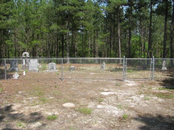
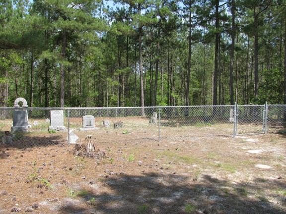
| Description | : | From Chesterfield, S.C. take highway 9 toward Cheraw, S.C. Turn left on Zoar Road. Go to Westfield Church Road and turn left. Bear right on the dirt road just past Westfield Creek Baptist Church which is Deerfield Road. Cemetery is on the right just off the road about two tenths mile down. |
frequently asked questions (FAQ):
-
Where is Short Family Cemetery?
Short Family Cemetery is located at Chesterfield County ,South Carolina ,USA.
-
Short Family Cemetery cemetery's updated grave count on graveviews.com?
0 memorials
-
Where are the coordinates of the Short Family Cemetery?
Latitude: 34.7931670
Longitude: -80.0118550
Nearby Cemetories:
1. Westfield Creek Baptist Church Cemetery
Chesterfield County, USA
Coordinate: 34.7888985, -80.0108032
2. McClain Grove Missionary Baptist Church Cemetery
Cheraw, Chesterfield County, USA
Coordinate: 34.7873270, -80.0011380
3. Jones-Hinson Family Cemetery
Chesterfield, Chesterfield County, USA
Coordinate: 34.7989860, -79.9805010
4. Privett Family Cemetery
Chesterfield, Chesterfield County, USA
Coordinate: 34.7658230, -80.0220910
5. Campbell Family Cemetery
Chesterfield, Chesterfield County, USA
Coordinate: 34.8048360, -80.0441280
6. Zoar United Methodist Church Cemetery
Brocks Mill, Chesterfield County, USA
Coordinate: 34.7648277, -80.0217819
7. Smith Cemetery
Chesterfield, Chesterfield County, USA
Coordinate: 34.7974840, -80.0480710
8. Sellers Cemetery
Brocks Mill, Chesterfield County, USA
Coordinate: 34.7604070, -79.9992870
9. Brock Family Cemetery
Brocks Mill, Chesterfield County, USA
Coordinate: 34.7627750, -79.9916350
10. Pleasant Grove AME Zion Church Cemetery
Chesterfield, Chesterfield County, USA
Coordinate: 34.7587490, -80.0172040
11. Ramah Grove Missionary Baptist Church Cemetery
McFarlan, Anson County, USA
Coordinate: 34.8241437, -79.9897166
12. Davis Cemetery
Chesterfield, Chesterfield County, USA
Coordinate: 34.7676600, -80.0456570
13. Brocks Mill Baptist Church Cemetery
Chesterfield, Chesterfield County, USA
Coordinate: 34.7582730, -79.9917660
14. Mount Zion United Methodist Church Cemetery
Cheraw, Chesterfield County, USA
Coordinate: 34.7972880, -79.9647960
15. Brocks Mill Baptist Church Cemetery Annex
Brocks Mill, Chesterfield County, USA
Coordinate: 34.7578990, -79.9919590
16. Pleasant Hill Cemetery
McFarlan, Anson County, USA
Coordinate: 34.8161011, -79.9728012
17. McLaurin Cemetery
Morven, Anson County, USA
Coordinate: 34.8363590, -80.0145810
18. Sandy Plains United Methodist Church Cemetery
Morven, Anson County, USA
Coordinate: 34.8245800, -80.0488600
19. Pittman Cemetery
Morven, Anson County, USA
Coordinate: 34.8362360, -80.0242320
20. Teal Family Cemetery
Chesterfield, Chesterfield County, USA
Coordinate: 34.7583530, -80.0463330
21. Brock Cemetery
Brocks Mill, Chesterfield County, USA
Coordinate: 34.7503930, -79.9863370
22. Griggs Family Cemetery
Chesterfield, Chesterfield County, USA
Coordinate: 34.8042150, -80.0732200
23. Sandy Ridge Missionary Baptist Church Cemetery
Morven, Anson County, USA
Coordinate: 34.8406570, -80.0453100
24. Rivers Family Cemetery
Chesterfield, Chesterfield County, USA
Coordinate: 34.7484950, -80.0539370