
| Memorials | : | 0 |
| Location | : | Stafford, Stafford Borough, England |
| Phone | : | 01785 242594 |
| Coordinate | : | 52.8080900, -2.0747420 |
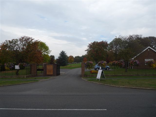
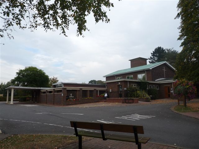
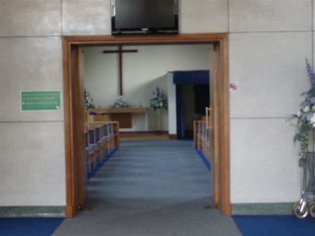
| Description | : | Opened 1964 the burial ground, cremation and burial records are maintained by Stafford Borough Council. |
frequently asked questions (FAQ):
-
Where is Stafford Crematorium and Burial Ground?
Stafford Crematorium and Burial Ground is located at Tixall Rd Stafford, Stafford Borough ,Staffordshire , ST18 OXZEngland.
-
Stafford Crematorium and Burial Ground cemetery's updated grave count on graveviews.com?
0 memorials
-
Where are the coordinates of the Stafford Crematorium and Burial Ground?
Latitude: 52.8080900
Longitude: -2.0747420
Nearby Cemetories:
1. St Chad
Stafford, Stafford Borough, England
Coordinate: 52.8061611, -2.1165797
2. Stafford Prison Cemetery
Stafford, Stafford Borough, England
Coordinate: 52.8122341, -2.1166098
3. St Mary The Virgin Churchyard
Ingestre, Stafford Borough, England
Coordinate: 52.8196420, -2.0361510
4. St. Mary's Churchyard
Stafford, Stafford Borough, England
Coordinate: 52.8057000, -2.1187000
5. Eccleshall Road Cemetery
Stafford, Stafford Borough, England
Coordinate: 52.8158760, -2.1252976
6. St. Andrew's Church
Weston, Stafford Borough, England
Coordinate: 52.8412239, -2.0391501
7. St James the Great Church
Salt, Stafford Borough, England
Coordinate: 52.8483296, -2.0701182
8. St Stephen Churchyard
Great Haywood, Stafford Borough, England
Coordinate: 52.8004360, -2.0049890
9. St. Peter's Churchyard
Hixon, Stafford Borough, England
Coordinate: 52.8273830, -2.0004581
10. St Peter's Church
Gayton, Stafford Borough, England
Coordinate: 52.8540363, -2.0327095
11. Saint Mary's Abbey
Colwich, Stafford Borough, England
Coordinate: 52.7900000, -1.9895000
12. St. James Churchyard
Acton Trussell, South Staffordshire Borough, England
Coordinate: 52.7546980, -2.0943120
13. All Saints Churchyard
Sandon, Stafford Borough, England
Coordinate: 52.8628160, -2.0696270
14. St. Michael and All Angels Church
Colwich, Stafford Borough, England
Coordinate: 52.7876070, -1.9853500
15. Cannock Chase War Cemetery
Cannock, Cannock Chase District, England
Coordinate: 52.7370710, -2.0266340
16. Cannock Chase German Military Cemetery
Cannock, Cannock Chase District, England
Coordinate: 52.7370580, -2.0265050
17. All Saints Churchyard
Milwich, Stafford Borough, England
Coordinate: 52.8852590, -2.0443610
18. St Mary and All Saints
Bradley, Stafford Borough, England
Coordinate: 52.7599257, -2.1808769
19. St Giles Churchyard
Haughton, Stafford Borough, England
Coordinate: 52.7817750, -2.2005140
20. St Saviour Churchyard
Aston-by-Stone, Stafford Borough, England
Coordinate: 52.8841410, -2.1283140
21. Ranton All Saints
Ranton, Stafford Borough, England
Coordinate: 52.8151300, -2.2156400
22. St. Michael & All Angels Churchyard
Penkridge, South Staffordshire Borough, England
Coordinate: 52.7245874, -2.1181258
23. Stone Cemetery
Stone, Stafford Borough, England
Coordinate: 52.8874860, -2.1369430
24. Rugeley Cemetery
Rugeley, Cannock Chase District, England
Coordinate: 52.7650720, -1.9370440