
| Memorials | : | 35 |
| Location | : | Winfrith Newburgh, Purbeck District, England |
| Coordinate | : | 50.6585210, -2.2768930 |
frequently asked questions (FAQ):
-
Where is St. Christopher's Churchyard?
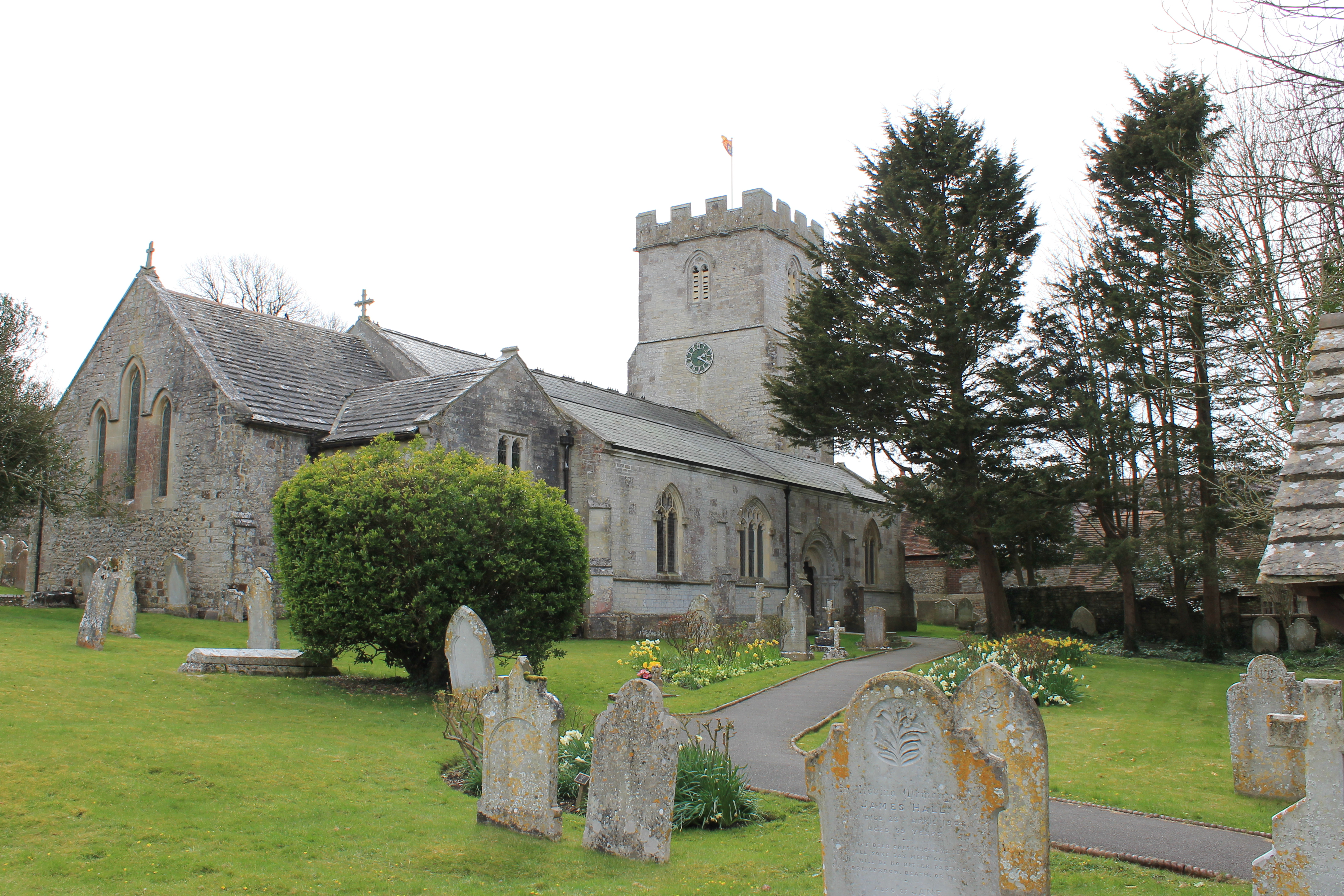
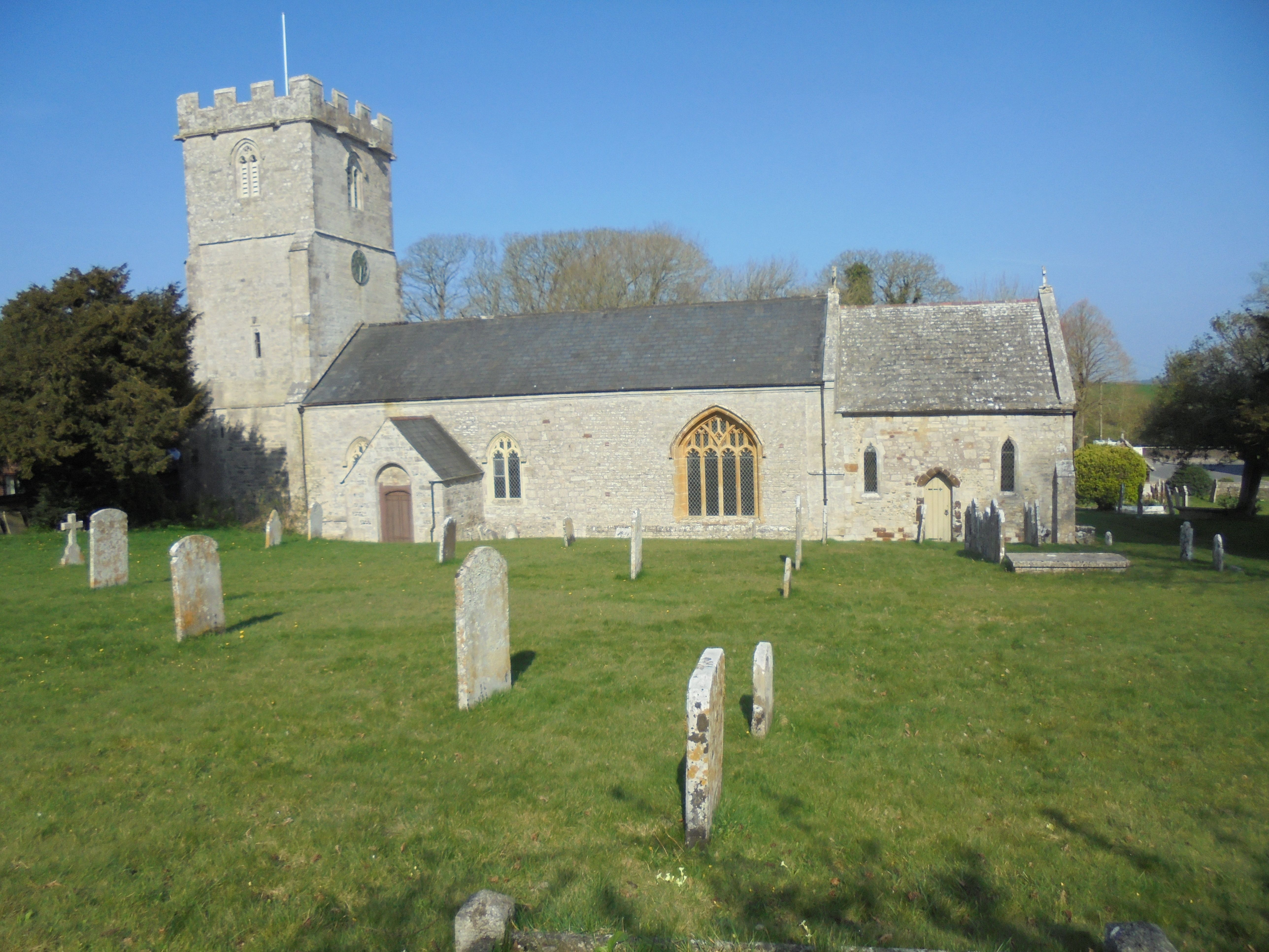
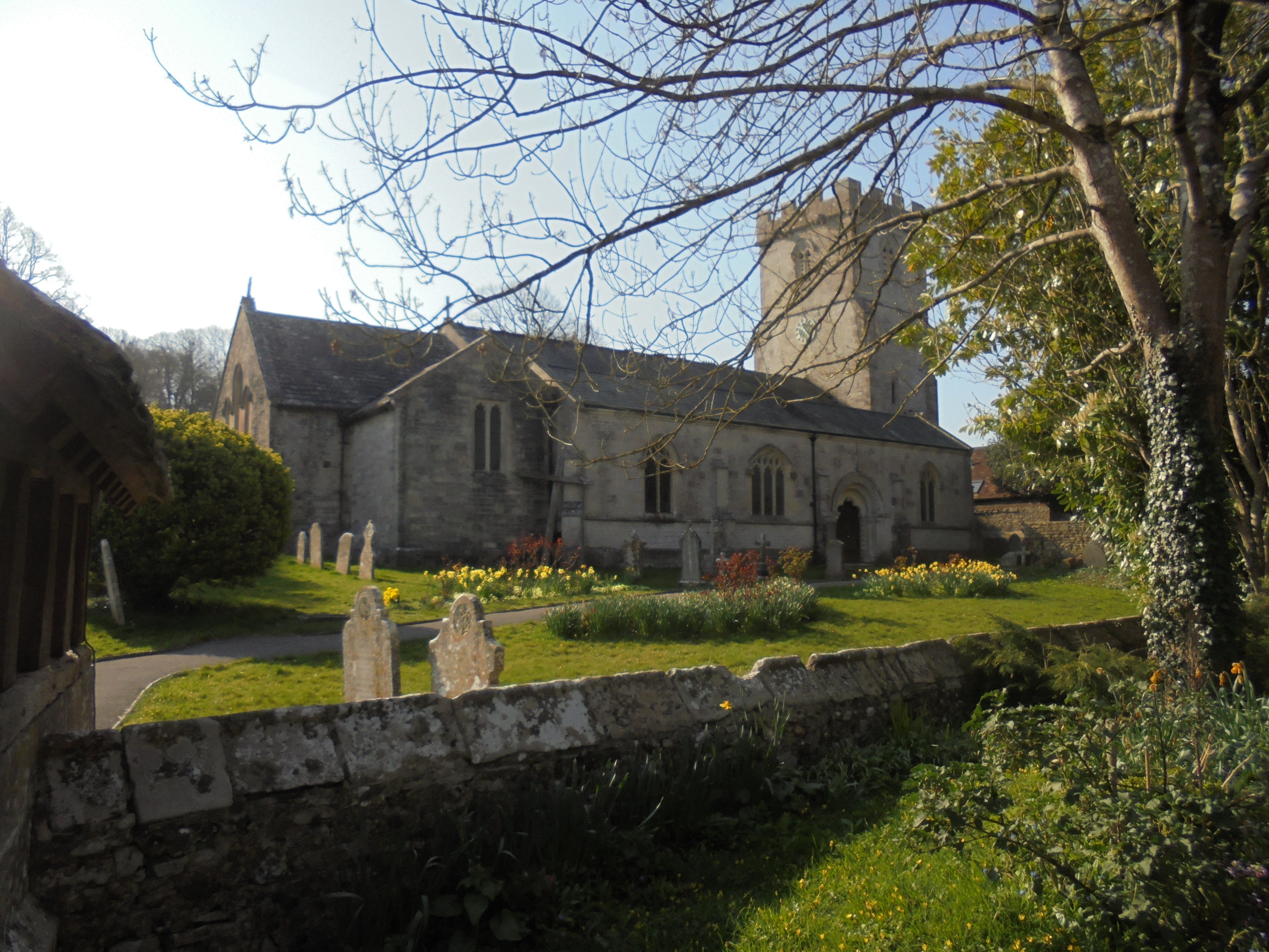
St. Christopher's Churchyard is located at High Street Winfrith Newburgh, Purbeck District ,Dorset , DT2 8JREngland.
-
St. Christopher's Churchyard cemetery's updated grave count on graveviews.com?
35 memorials
-
Where are the coordinates of the St. Christopher's Churchyard?
Latitude: 50.6585210
Longitude: -2.2768930


Nearby Cemetories:
1. St Nicholas Churchyard
Chaldon Herring, Purbeck District, England
Coordinate: 50.6473100, -2.2983330
2. St. Michael's Church
Owermoigne, West Dorset District, England
Coordinate: 50.6671120, -2.3284310
3. Holy Trinity Churchyard
West Lulworth, Purbeck District, England
Coordinate: 50.6263000, -2.2515000
4. West Lulworth Old Churchyard
West Lulworth, Purbeck District, England
Coordinate: 50.6261650, -2.2468550
5. Holy Rood Churchyard
Wool, Purbeck District, England
Coordinate: 50.6774970, -2.2169630
6. St Nicholas Churchyard
Moreton, Purbeck District, England
Coordinate: 50.7023040, -2.2786470
7. Moreton Cemetery
Moreton, Purbeck District, England
Coordinate: 50.7024300, -2.2790900
8. St Catherine-by-the-Sea
Weymouth, Weymouth and Portland Borough, England
Coordinate: 50.6342230, -2.3370640
9. Lulworth Castle Chapel
East Lulworth, Purbeck District, England
Coordinate: 50.6399070, -2.2099960
10. Bindon Abbey Graveyard
Wool, Purbeck District, England
Coordinate: 50.6802430, -2.2097550
11. St. Andrew's Parish Church
East Lulworth, Purbeck District, England
Coordinate: 50.6381750, -2.2081720
12. Monkey World
Bovington Camp, Purbeck District, England
Coordinate: 50.6994813, -2.2169029
13. St John the Evangelist Churchyard
Poxwell, West Dorset District, England
Coordinate: 50.6555000, -2.3663000
14. St. Mary's Churchyard
East Stoke, Purbeck District, England
Coordinate: 50.6830000, -2.1818000
15. St. Martin's Churchyard
Broadmayne, West Dorset District, England
Coordinate: 50.6787530, -2.3856840
16. St Osmund's Churchyard
Osmington, West Dorset District, England
Coordinate: 50.6459250, -2.3909880
17. St Mary's Churchyard
Tyneham, Purbeck District, England
Coordinate: 50.6230090, -2.1689980
18. West Stafford New Burial Ground
Dorchester, West Dorset District, England
Coordinate: 50.7050192, -2.3872764
19. St. Laurence's Churchyard
Affpuddle, Purbeck District, England
Coordinate: 50.7426680, -2.2772280
20. St. John the Evangelist
East Holme, Purbeck District, England
Coordinate: 50.6730910, -2.1440880
21. St. Andrew's Churchyard
Preston, West Dorset District, England
Coordinate: 50.6456500, -2.4173900
22. Hill View Cemetery
Wareham, Purbeck District, England
Coordinate: 50.6828550, -2.1266310
23. St. Mary the Virgin Churchyard
Puddletown, West Dorset District, England
Coordinate: 50.7484670, -2.3434700
24. St. Michael's and All Angels Churchyard
Steeple, Purbeck District, England
Coordinate: 50.6277090, -2.1267040