
| Memorials | : | 200 |
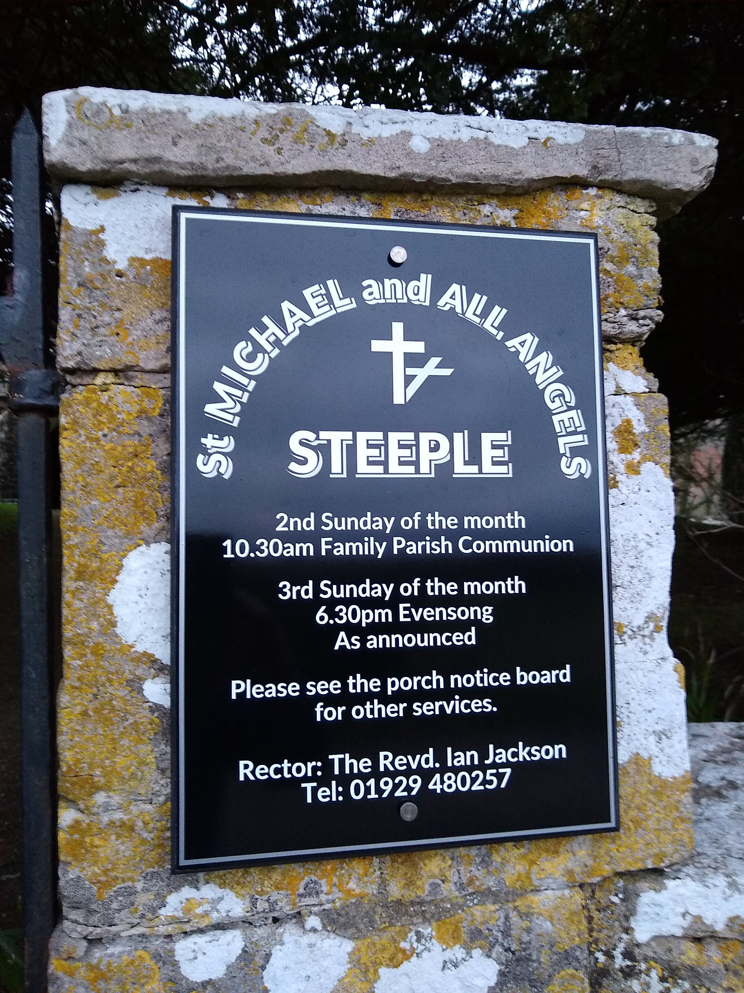
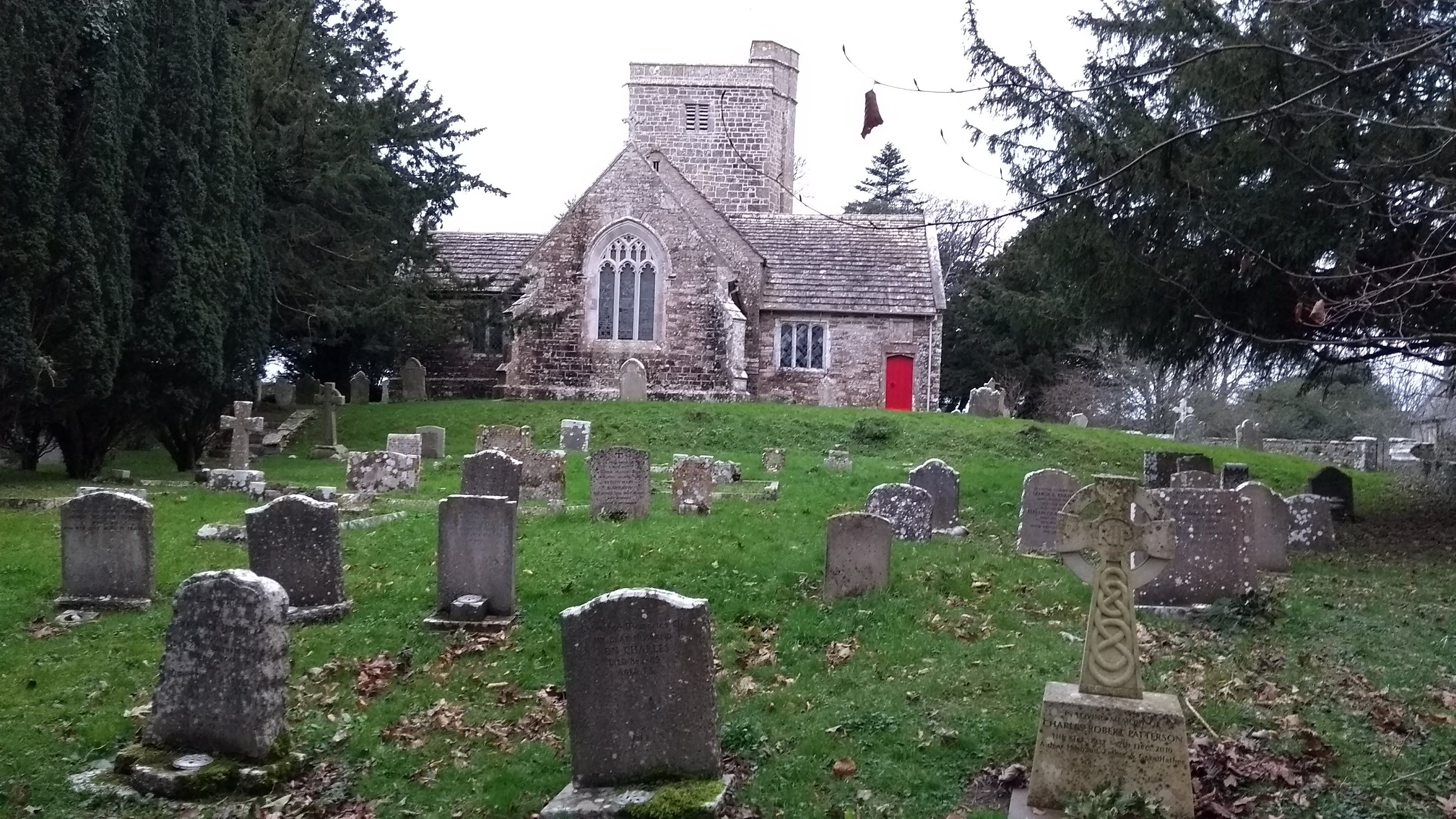
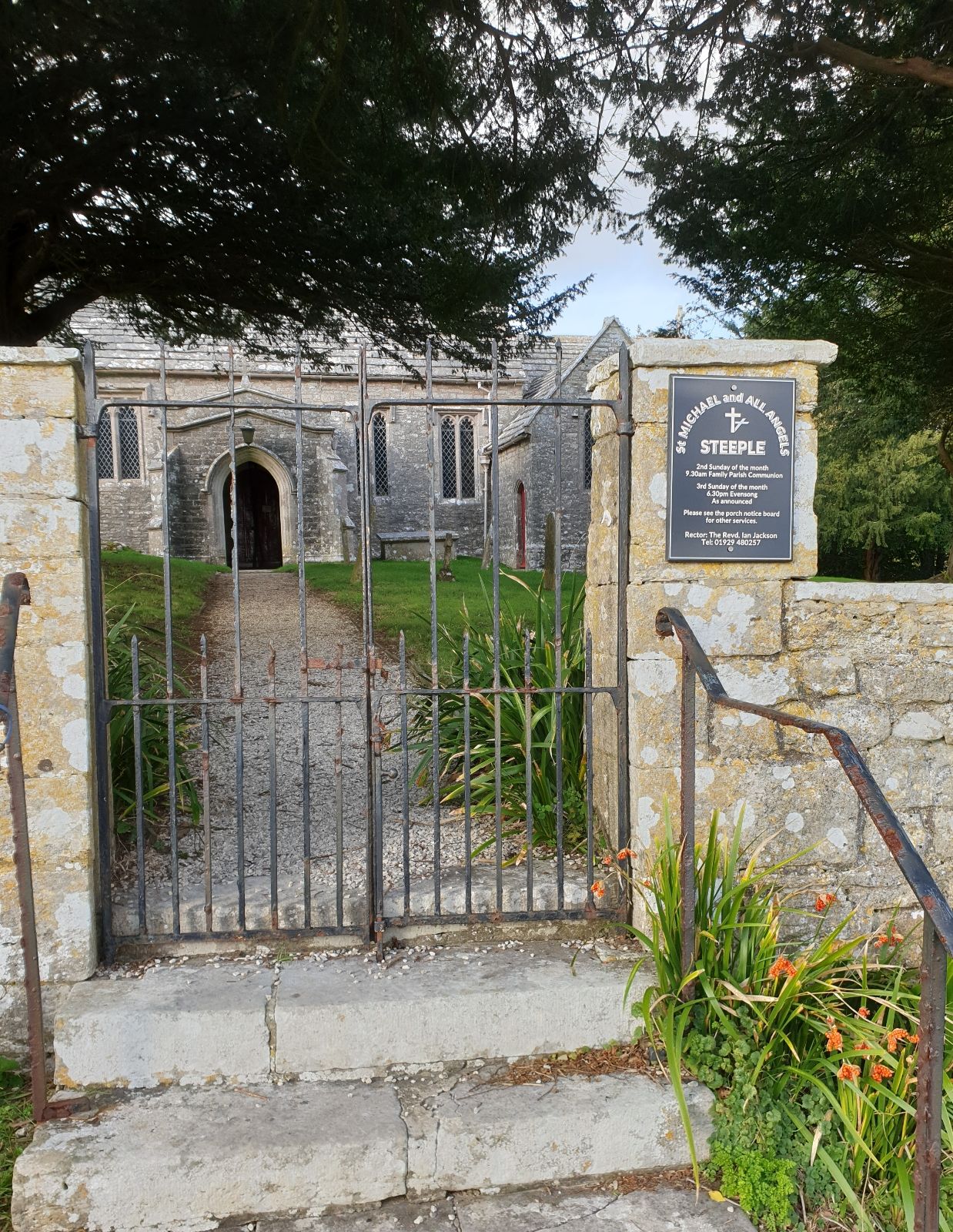
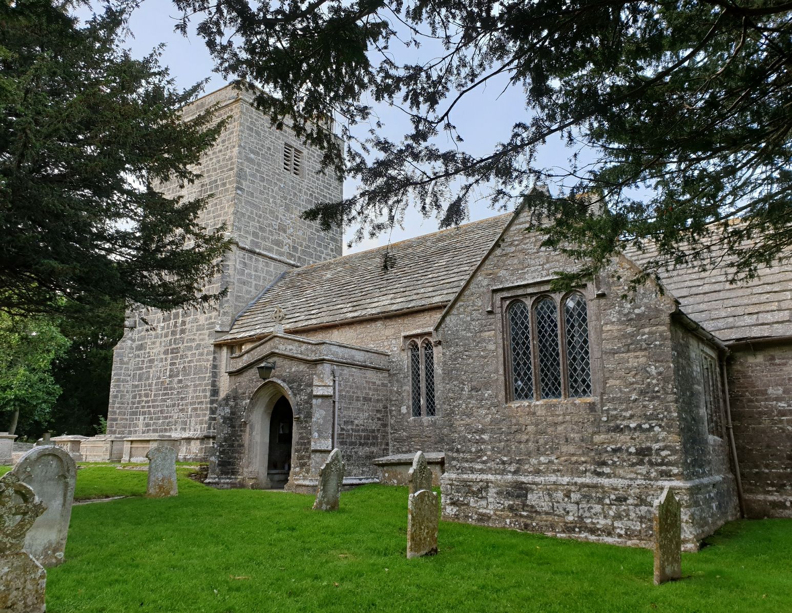
| Location | : | Steeple, Purbeck District, England |
| Coordinate | : | 50.6277090, -2.1267040 |
frequently asked questions (FAQ):
-
Where is St. Michael's and All Angels Churchyard?
St. Michael's and All Angels Churchyard is located at Steeple, Purbeck District ,Dorset ,England.
-
St. Michael's and All Angels Churchyard cemetery's updated grave count on graveviews.com?
200 memorials
-
Where are the coordinates of the St. Michael's and All Angels Churchyard?
Latitude: 50.6277090
Longitude: -2.1267040
Nearby Cemetories:
1. Kimmeridge Churchyard
Kimmeridge, Purbeck District, England
Coordinate: 50.6192291, -2.1187155
2. St Mary's Churchyard
Tyneham, Purbeck District, England
Coordinate: 50.6230090, -2.1689980
3. St Peter's Churchyard Church Knowle
Church Knowle, Purbeck District, England
Coordinate: 50.6370800, -2.0851140
4. Swyre Head
Chaldon Herring, Purbeck District, England
Coordinate: 50.6058320, -2.0944380
5. St James Churchyard
Kingston, Purbeck District, England
Coordinate: 50.6156390, -2.0641100
6. God's Acre Cemetery
Corfe Castle, Purbeck District, England
Coordinate: 50.6366100, -2.0591320
7. Kingston Chapel
Kingston, Purbeck District, England
Coordinate: 50.6159590, -2.0600790
8. St Edward King and Martyr
Corfe Castle, Purbeck District, England
Coordinate: 50.6383980, -2.0573030
9. Old Church Cemetery
Corfe Castle, Purbeck District, England
Coordinate: 50.6367499, -2.0549142
10. St. John the Evangelist
East Holme, Purbeck District, England
Coordinate: 50.6730910, -2.1440880
11. St. Andrew's Parish Church
East Lulworth, Purbeck District, England
Coordinate: 50.6381750, -2.2081720
12. Lulworth Castle Chapel
East Lulworth, Purbeck District, England
Coordinate: 50.6399070, -2.2099960
13. Hill View Cemetery
Wareham, Purbeck District, England
Coordinate: 50.6828550, -2.1266310
14. Lady St Mary Churchyard
Wareham, Purbeck District, England
Coordinate: 50.6843130, -2.1077420
15. Wareham Cemetery
Wareham, Purbeck District, England
Coordinate: 50.6848600, -2.1066320
16. United Reformed Churchyard
Wareham, Purbeck District, England
Coordinate: 50.6860338, -2.1078591
17. St Martin-on-the-Walls
Wareham, Purbeck District, England
Coordinate: 50.6888000, -2.1115000
18. St Nicholas Churchyard
Worth Matravers, Purbeck District, England
Coordinate: 50.5967650, -2.0397410
19. St. Mary's Churchyard
East Stoke, Purbeck District, England
Coordinate: 50.6830000, -2.1818000
20. Bindon Abbey Graveyard
Wool, Purbeck District, England
Coordinate: 50.6802430, -2.2097550
21. Holy Rood Churchyard
Wool, Purbeck District, England
Coordinate: 50.6774970, -2.2169630
22. West Lulworth Old Churchyard
West Lulworth, Purbeck District, England
Coordinate: 50.6261650, -2.2468550
23. Holy Trinity Churchyard
West Lulworth, Purbeck District, England
Coordinate: 50.6263000, -2.2515000
24. St George Churchyard
Langton Matravers, Purbeck District, England
Coordinate: 50.6096640, -2.0039300