| Memorials | : | 0 |
| Location | : | Tyneham, Purbeck District, England |
| Website | : | tynehamvillage.org/tyneham-church/ |
| Coordinate | : | 50.6230090, -2.1689980 |
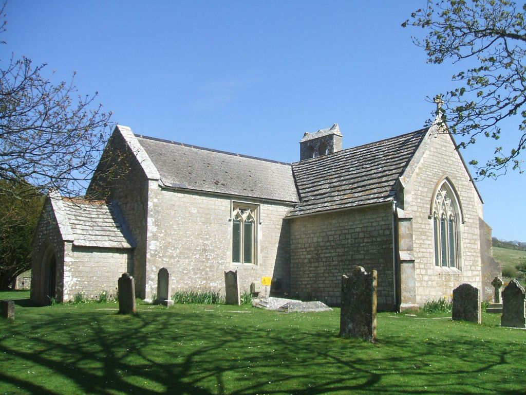
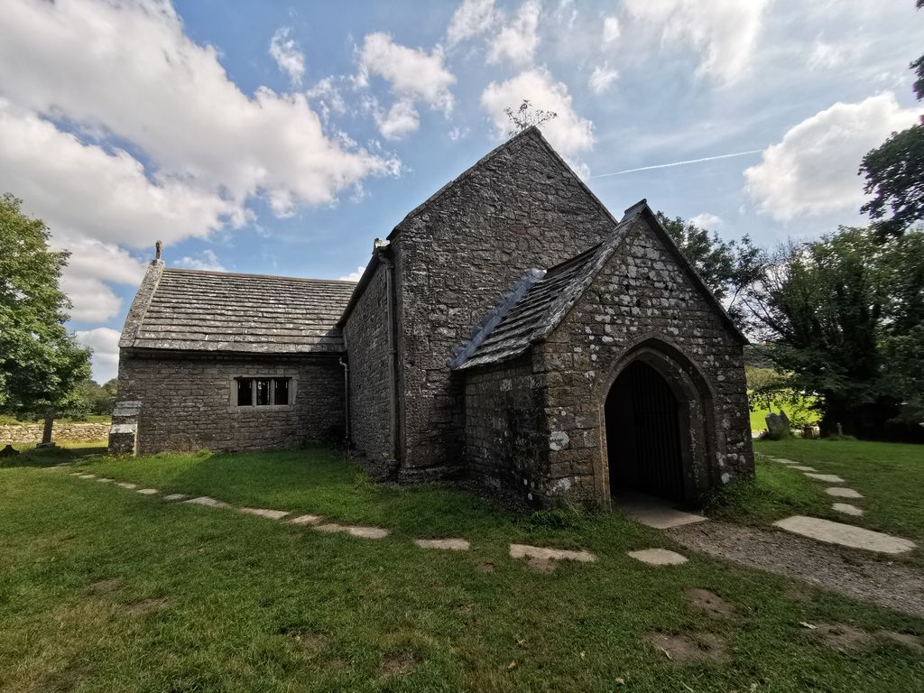
| Description | : | Tyneham village was abandoned during the Second World War so that the surrounding military ranges could be used for training for the Normandy Landings. The villagers were promised that they could return, but the Ministry of Defence still owns the deserted village, and the return has never happened. Only the school and the church are still roofed, and can be visited on certain weekends when the ranges, now mainly used for tank training, are not in use. When the villagers left, Evelyn Bond pinned a note to the door of St Mary's Church: "Please treat the Church and houses with care.... Read More |
frequently asked questions (FAQ):
-
Where is St Mary's Churchyard?
St Mary's Churchyard is located at Tyneham, Purbeck District ,Dorset ,England.
-
St Mary's Churchyard cemetery's updated grave count on graveviews.com?
0 memorials
-
Where are the coordinates of the St Mary's Churchyard?
Latitude: 50.6230090
Longitude: -2.1689980
Nearby Cemetories:
1. St. Michael's and All Angels Churchyard
Steeple, Purbeck District, England
Coordinate: 50.6277090, -2.1267040
2. St. Andrew's Parish Church
East Lulworth, Purbeck District, England
Coordinate: 50.6381750, -2.2081720
3. Lulworth Castle Chapel
East Lulworth, Purbeck District, England
Coordinate: 50.6399070, -2.2099960
4. Kimmeridge Churchyard
Kimmeridge, Purbeck District, England
Coordinate: 50.6192291, -2.1187155
5. West Lulworth Old Churchyard
West Lulworth, Purbeck District, England
Coordinate: 50.6261650, -2.2468550
6. Swyre Head
Chaldon Herring, Purbeck District, England
Coordinate: 50.6058320, -2.0944380
7. Holy Trinity Churchyard
West Lulworth, Purbeck District, England
Coordinate: 50.6263000, -2.2515000
8. St. John the Evangelist
East Holme, Purbeck District, England
Coordinate: 50.6730910, -2.1440880
9. St Peter's Churchyard Church Knowle
Church Knowle, Purbeck District, England
Coordinate: 50.6370800, -2.0851140
10. St. Mary's Churchyard
East Stoke, Purbeck District, England
Coordinate: 50.6830000, -2.1818000
11. Holy Rood Churchyard
Wool, Purbeck District, England
Coordinate: 50.6774970, -2.2169630
12. Bindon Abbey Graveyard
Wool, Purbeck District, England
Coordinate: 50.6802430, -2.2097550
13. Hill View Cemetery
Wareham, Purbeck District, England
Coordinate: 50.6828550, -2.1266310
14. St James Churchyard
Kingston, Purbeck District, England
Coordinate: 50.6156390, -2.0641100
15. Kingston Chapel
Kingston, Purbeck District, England
Coordinate: 50.6159590, -2.0600790
16. God's Acre Cemetery
Corfe Castle, Purbeck District, England
Coordinate: 50.6366100, -2.0591320
17. St Edward King and Martyr
Corfe Castle, Purbeck District, England
Coordinate: 50.6383980, -2.0573030
18. Lady St Mary Churchyard
Wareham, Purbeck District, England
Coordinate: 50.6843130, -2.1077420
19. Wareham Cemetery
Wareham, Purbeck District, England
Coordinate: 50.6848600, -2.1066320
20. Old Church Cemetery
Corfe Castle, Purbeck District, England
Coordinate: 50.6367499, -2.0549142
21. United Reformed Churchyard
Wareham, Purbeck District, England
Coordinate: 50.6860338, -2.1078591
22. St Martin-on-the-Walls
Wareham, Purbeck District, England
Coordinate: 50.6888000, -2.1115000
23. St. Christopher's Churchyard
Winfrith Newburgh, Purbeck District, England
Coordinate: 50.6585210, -2.2768930
24. Monkey World
Bovington Camp, Purbeck District, England
Coordinate: 50.6994813, -2.2169029


