
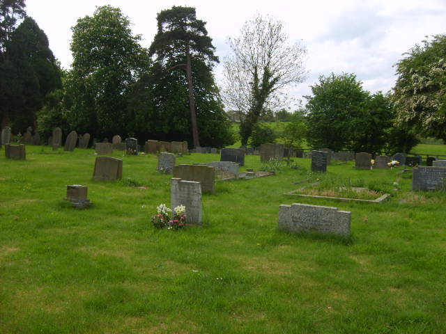
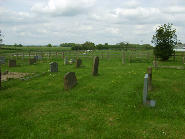
| Memorials | : | 228 |
| Location | : | Strensall, York Unitary Authority, England |
| Coordinate | : | 54.0389130, -1.0394910 |
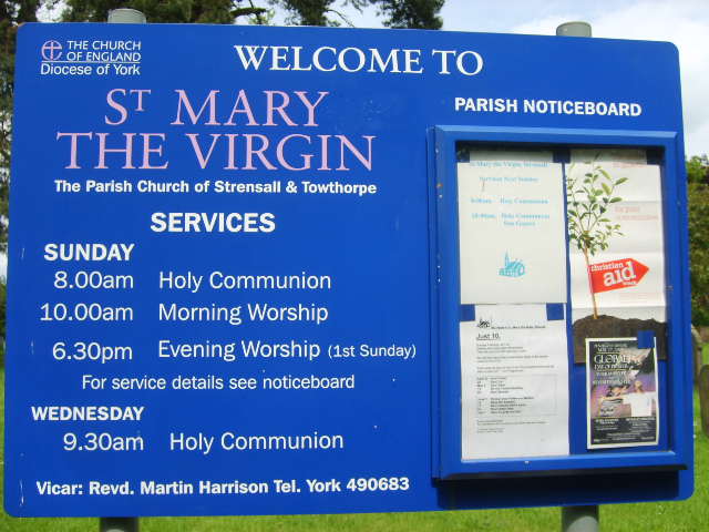
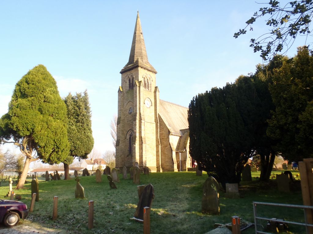
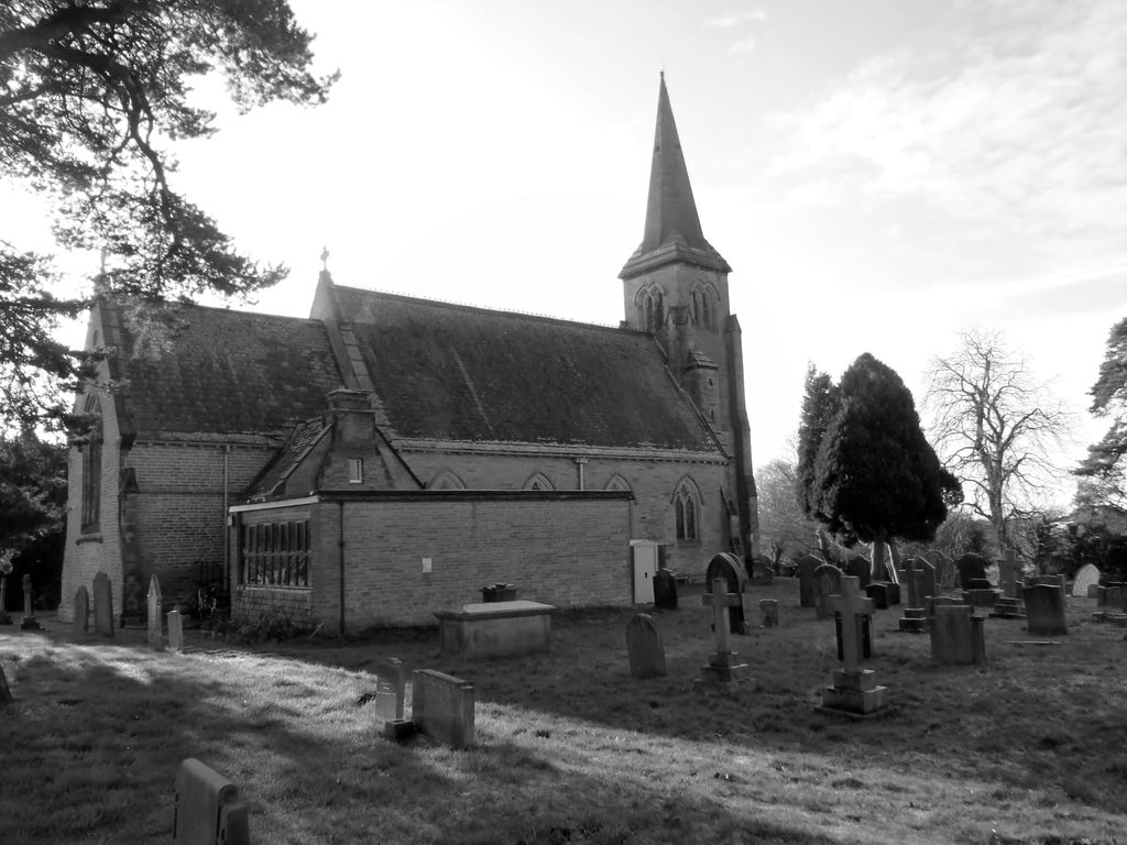
| Description | : | Strensall is a village and civil parish in the unitary authority of the City of York in North Yorkshire, England, on the River Foss north of York and north-east of Haxby. The Parish Church of Strensall is St. Mary the Virgin. The current building was consecrated by the Archbishop of York in 1866 after the old building, originally dedicated to St James, was destroyed about 1798 or 1800. There are also the Methodist Chapel and St. Wilfred's Garrison Church. |
frequently asked questions (FAQ):
-
Where is St Mary the Virgin Churchyard?
St Mary the Virgin Churchyard is located at Strensall, York Unitary Authority ,North Yorkshire ,England.
-
St Mary the Virgin Churchyard cemetery's updated grave count on graveviews.com?
0 memorials
-
Where are the coordinates of the St Mary the Virgin Churchyard?
Latitude: 54.0389130
Longitude: -1.0394910

Nearby Cemetories:
1. Haxby and Wigginton Cemetery
Haxby, York Unitary Authority, England
Coordinate: 54.0219200, -1.0808600
2. St Mary Churchyard
Haxby, York Unitary Authority, England
Coordinate: 54.0167790, -1.0754230
3. Wigginton Garden of Rest
Wigginton, York Unitary Authority, England
Coordinate: 54.0183970, -1.0851200
4. St. Nicholas' Churchyard
Wigginton, York Unitary Authority, England
Coordinate: 54.0182590, -1.0850720
5. All Saints Churchyard
Huntington, York Unitary Authority, England
Coordinate: 53.9977460, -1.0633490
6. St Lawrence Churchyard
Flaxton, Ryedale District, England
Coordinate: 54.0508680, -0.9624500
7. St Peter Churchyard
Stockton-on-the-Forest, York Unitary Authority, England
Coordinate: 53.9964440, -0.9991290
8. Holy Trinity Churchyard
Stockton-on-the-Forest, York Unitary Authority, England
Coordinate: 53.9960220, -0.9994630
9. Moorlands Nature Reserve
Skelton, York Unitary Authority, England
Coordinate: 54.0226680, -1.1201180
10. Skelton Parish Council Cemetery
Skelton, York Unitary Authority, England
Coordinate: 54.0070970, -1.1150970
11. All Hallows Churchyard
Sutton-on-the-Forest, Hambleton District, England
Coordinate: 54.0746800, -1.1103500
12. St Helen and the Holy Cross Churchyard
Sheriff Hutton, Ryedale District, England
Coordinate: 54.0882280, -0.9965280
13. New Lane Cemetery
Huntington, York Unitary Authority, England
Coordinate: 53.9816223, -1.0576156
14. All Hallows Churchyard Extension Cemetery
Sutton-on-the-Forest, Hambleton District, England
Coordinate: 54.0757200, -1.1188700
15. St. Mary's Churchyard
Sand Hutton, Ryedale District, England
Coordinate: 54.0183800, -0.9410700
16. St Leonard Churchyard
Farlington, Hambleton District, England
Coordinate: 54.0999600, -1.0614900
17. St Mary Churchyard
Warthill, Ryedale District, England
Coordinate: 53.9887610, -0.9714450
18. St. Giles' Churchyard
Skelton, York Unitary Authority, England
Coordinate: 54.0019111, -1.1342660
19. St Peter Churchyard
Upper Helmsley, Ryedale District, England
Coordinate: 54.0044650, -0.9409770
20. Holy Evangelists Churchyard
Shipton, Hambleton District, England
Coordinate: 54.0234400, -1.1572300
21. Holy Trinity Churchyard
Holtby, York Unitary Authority, England
Coordinate: 53.9792890, -0.9719310
22. St Mary Churchyard
Marton-on-the Forest, Hambleton District, England
Coordinate: 54.1064900, -1.0807800
23. All Saints Churchyard
Foston, Ryedale District, England
Coordinate: 54.0775719, -0.9331510
24. St. Mary's Churchyard
Gate Helmsley, Ryedale District, England
Coordinate: 53.9883720, -0.9481980