| Memorials | : | 201 |
| Location | : | Easingwold, Hambleton District, England |
| Coordinate | : | 54.1235320, -1.1973170 |
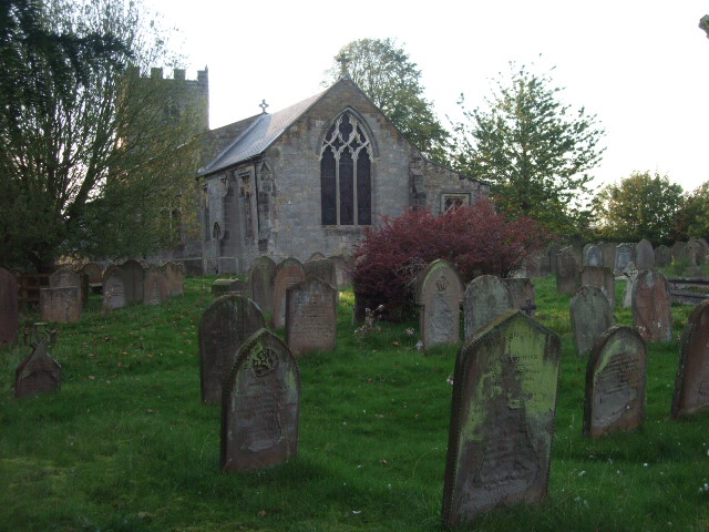
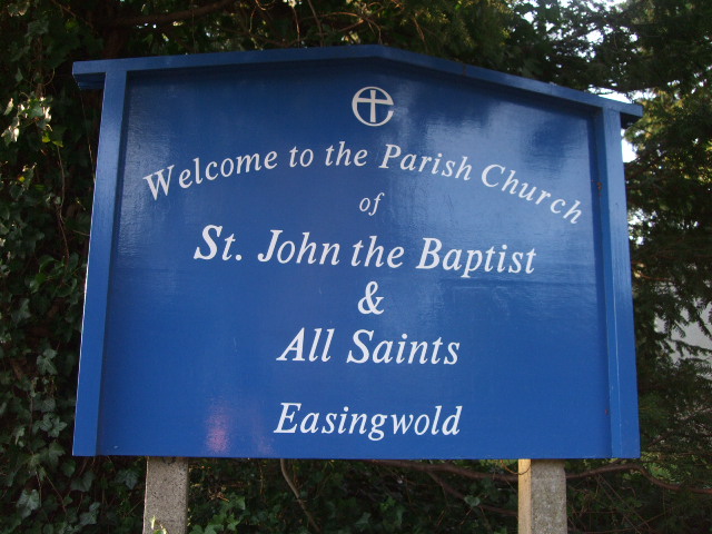
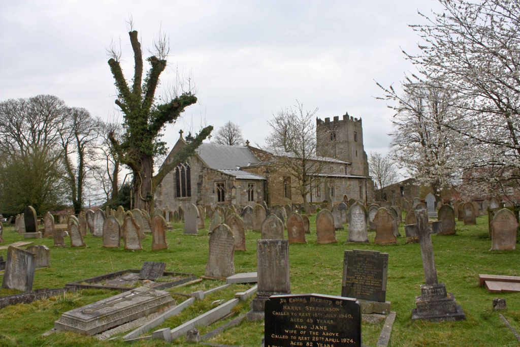
| Description | : | The Parish Church of St. John the Baptist and All Saints Easingwold is situated on Church Hill to the north of the town. The present building dates from c. 1400 when it was largely rebuilt. It comprises a chancel and nave, together with north and south aisles and a western tower. The interior of the church has undergone much restoration in recent years. The surrounding churchyard was extended in 1858 and 1886 and is still in use. Text by Wertypop. |
frequently asked questions (FAQ):
-
Where is St John the Baptist and All Saints Churchyard?
St John the Baptist and All Saints Churchyard is located at Church Hill Easingwold, Hambleton District ,North Yorkshire , YO61 3JTEngland.
-
St John the Baptist and All Saints Churchyard cemetery's updated grave count on graveviews.com?
201 memorials
-
Where are the coordinates of the St John the Baptist and All Saints Churchyard?
Latitude: 54.1235320
Longitude: -1.1973170
Nearby Cemetories:
1. St Cuthbert Churchyard
Crayke, Hambleton District, England
Coordinate: 54.1285740, -1.1441370
2. St Mary the Virgin Churchyard
Raskelf, Hambleton District, England
Coordinate: 54.1305760, -1.2520440
3. Husthwaite Cemetery
Husthwaite, Hambleton District, England
Coordinate: 54.1684400, -1.2142000
4. St Nicholas Churchyard
Husthwaite, Hambleton District, England
Coordinate: 54.1692000, -1.2075900
5. St Mary Churchyard
Alne, Hambleton District, England
Coordinate: 54.0814400, -1.2438800
6. St Mary Magdalene Churchyard
Thormanby, Hambleton District, England
Coordinate: 54.1678900, -1.2420600
7. St. Nicholas Churchyard
Stillington, Hambleton District, England
Coordinate: 54.1029710, -1.1098920
8. Newburgh Priory
Coxwold, Hambleton District, England
Coordinate: 54.1811000, -1.1731000
9. St. Michael's Churchyard
Coxwold, Hambleton District, England
Coordinate: 54.1878500, -1.1847120
10. Holy Trinity Churchyard
Yearsley, Hambleton District, England
Coordinate: 54.1619100, -1.1052300
11. All Hallows Churchyard Extension Cemetery
Sutton-on-the-Forest, Hambleton District, England
Coordinate: 54.0757200, -1.1188700
12. All Saints Churchyard
Brandsby, Hambleton District, England
Coordinate: 54.1397200, -1.0853500
13. St Cuthbert Churchyard
Sessay, Hambleton District, England
Coordinate: 54.1662400, -1.2906070
14. St Mary Churchyard
Marton-on-the Forest, Hambleton District, England
Coordinate: 54.1064900, -1.0807800
15. All Hallows Churchyard
Sutton-on-the-Forest, Hambleton District, England
Coordinate: 54.0746800, -1.1103500
16. St Stephen Churchyard
Aldwark, Hambleton District, England
Coordinate: 54.0640600, -1.2875000
17. St Peter Churchyard
Brafferton, Hambleton District, England
Coordinate: 54.1252600, -1.3337300
18. Byland Abbey
Coxwold, Hambleton District, England
Coordinate: 54.2034480, -1.1589660
19. St Leonard Churchyard
Farlington, Hambleton District, England
Coordinate: 54.0999600, -1.0614900
20. St Mary Churchyard
Myton-on-Swale, Hambleton District, England
Coordinate: 54.0937940, -1.3300540
21. St Mary Churchyard
Kilburn, Hambleton District, England
Coordinate: 54.2102360, -1.2138820
22. St Mary Churchyard
Lower Dunsforth, Harrogate Borough, England
Coordinate: 54.0777130, -1.3241810
23. Ampleforth Friends Burial Ground
Ampleforth, Ryedale District, England
Coordinate: 54.2023420, -1.1213330
24. All Saints Churchyard
Great Thirkleby, Hambleton District, England
Coordinate: 54.2020800, -1.2762700


