
| Memorials | : | 1 |
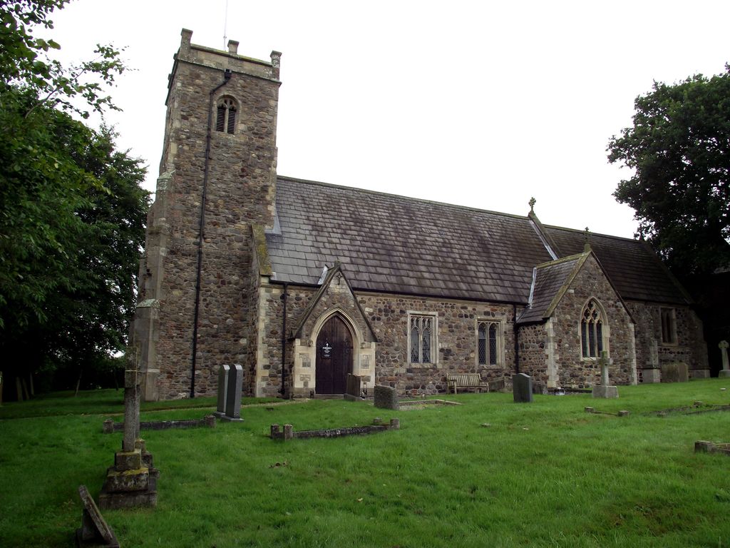
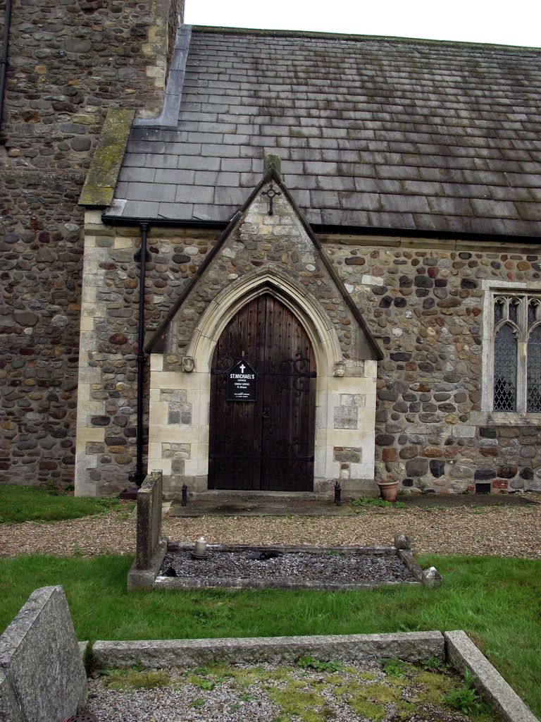
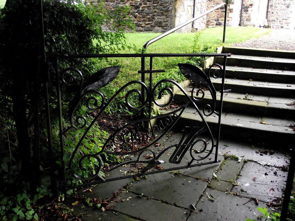
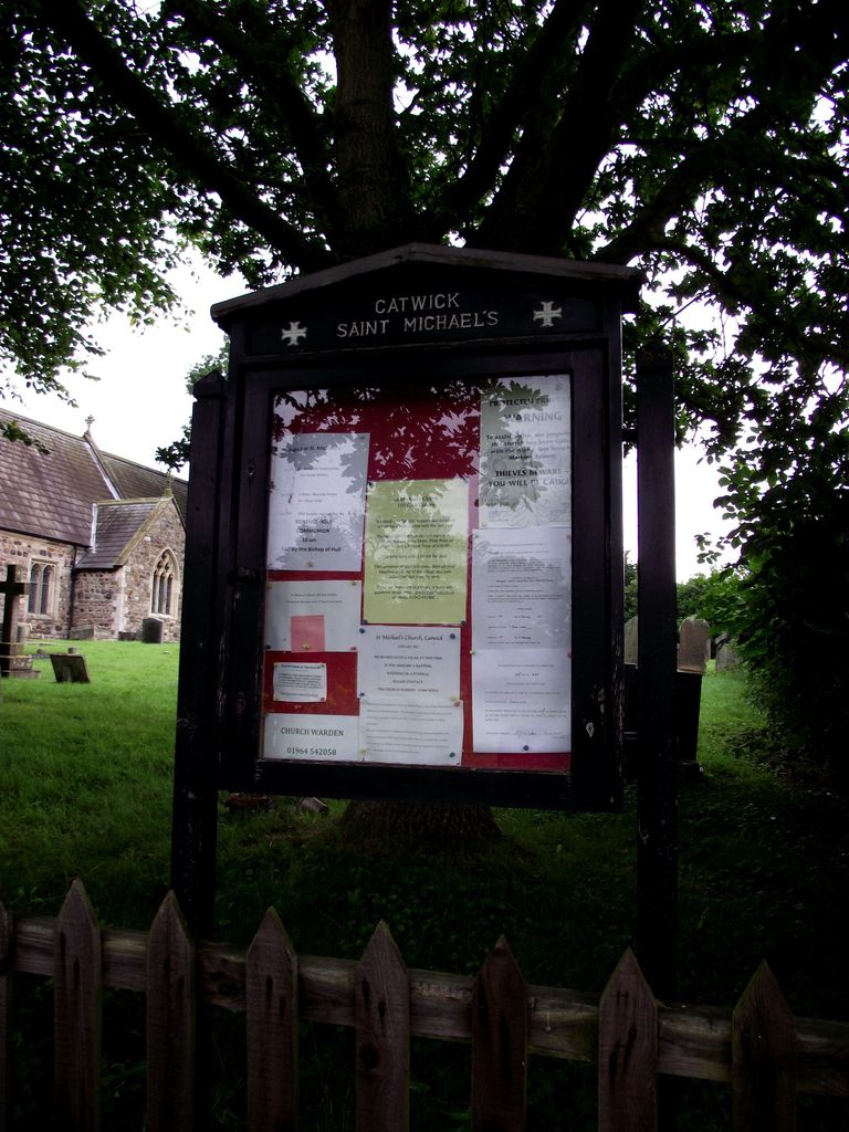
| Location | : | Catwick, East Riding of Yorkshire Unitary Authority, England |
| Coordinate | : | 53.8921250, -0.2805722 |
frequently asked questions (FAQ):
-
Where is St. Michael's Churchyard?
St. Michael's Churchyard is located at Catwick, East Riding of Yorkshire Unitary Authority ,East Riding of Yorkshire ,England.
-
St. Michael's Churchyard cemetery's updated grave count on graveviews.com?
0 memorials
-
Where are the coordinates of the St. Michael's Churchyard?
Latitude: 53.8921250
Longitude: -0.2805722
Nearby Cemetories:
1. Holy Trinity Churchyard
Leven, East Riding of Yorkshire Unitary Authority, England
Coordinate: 53.8915167, -0.3172194
2. St. Mary's Churchyard
Brandesburton, East Riding of Yorkshire Unitary Authority, England
Coordinate: 53.9129460, -0.2968880
3. St Margaret Churchyard
Long Riston, East Riding of Yorkshire Unitary Authority, England
Coordinate: 53.8686420, -0.2928580
4. St. Faith Churchyard
Leven, East Riding of Yorkshire Unitary Authority, England
Coordinate: 53.8943111, -0.3407167
5. St. Giles' Churchyard
Goxhill, East Riding of Yorkshire Unitary Authority, England
Coordinate: 53.8860480, -0.1981080
6. St. John the Baptist Churchyard
Bewholme, East Riding of Yorkshire Unitary Authority, England
Coordinate: 53.9336770, -0.2262599
7. St. Nicholas Churchyard
Dunnington, East Riding of Yorkshire Unitary Authority, England
Coordinate: 53.9504440, -0.2442030
8. Edenfield Cemetery
Hornsea, East Riding of Yorkshire Unitary Authority, England
Coordinate: 53.8991362, -0.1755450
9. St. Nicholas Churchyard
Hornsea, East Riding of Yorkshire Unitary Authority, England
Coordinate: 53.9108000, -0.1731280
10. Southgate Cemetery
Hornsea, East Riding of Yorkshire Unitary Authority, England
Coordinate: 53.9082500, -0.1706000
11. St. Lawrence Churchyard
Atwick, East Riding of Yorkshire Unitary Authority, England
Coordinate: 53.9397250, -0.1968630
12. St Leonard Churchyard
Beeford, East Riding of Yorkshire Unitary Authority, England
Coordinate: 53.9731490, -0.2801510
13. St Nicholas Churchyard
Beverley, East Riding of Yorkshire Unitary Authority, England
Coordinate: 53.8411520, -0.4142730
14. St Andrew Churchyard
Foston, East Riding of Yorkshire Unitary Authority, England
Coordinate: 53.9864230, -0.3227200
15. Beverley Minster Churchyard
Beverley, East Riding of Yorkshire Unitary Authority, England
Coordinate: 53.8389560, -0.4247920
16. St. Mary's Churchyard
Beverley, East Riding of Yorkshire Unitary Authority, England
Coordinate: 53.8440200, -0.4338100
17. St. Mary North Bar Within Cemetery
Beverley, East Riding of Yorkshire Unitary Authority, England
Coordinate: 53.8445340, -0.4355770
18. St. Mary's Molescroft Road Cemetery
Beverley, East Riding of Yorkshire Unitary Authority, England
Coordinate: 53.8490070, -0.4421000
19. St Catherine Churchyard
Leconfield, East Riding of Yorkshire Unitary Authority, England
Coordinate: 53.8800640, -0.4572990
20. St John Cemetery
Beverley, East Riding of Yorkshire Unitary Authority, England
Coordinate: 53.8350750, -0.4354910
21. St. Martin's Cemetery
Beverley, East Riding of Yorkshire Unitary Authority, England
Coordinate: 53.8360660, -0.4370590
22. St Margaret Churchyard
Beswick, East Riding of Yorkshire Unitary Authority, England
Coordinate: 53.9194140, -0.4599290
23. Aldbrough Cemetery
Aldbrough, East Riding of Yorkshire Unitary Authority, England
Coordinate: 53.8288200, -0.1257900
24. Queensgate Cemetery
Beverley, East Riding of Yorkshire Unitary Authority, England
Coordinate: 53.8314000, -0.4385100