
| Memorials | : | 0 |
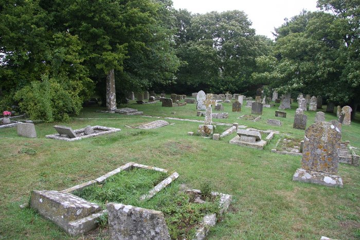
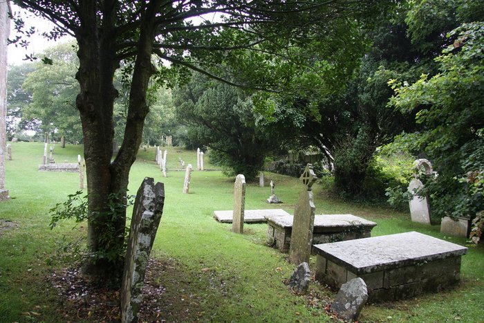
| Location | : | Worth Matravers, Purbeck District, England |
| Coordinate | : | 50.5967650, -2.0397410 |
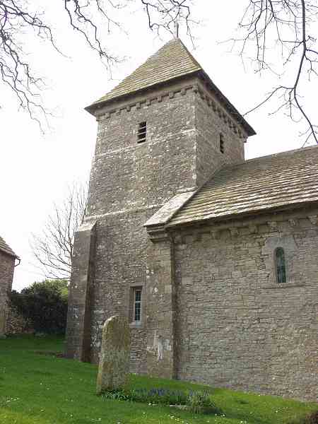
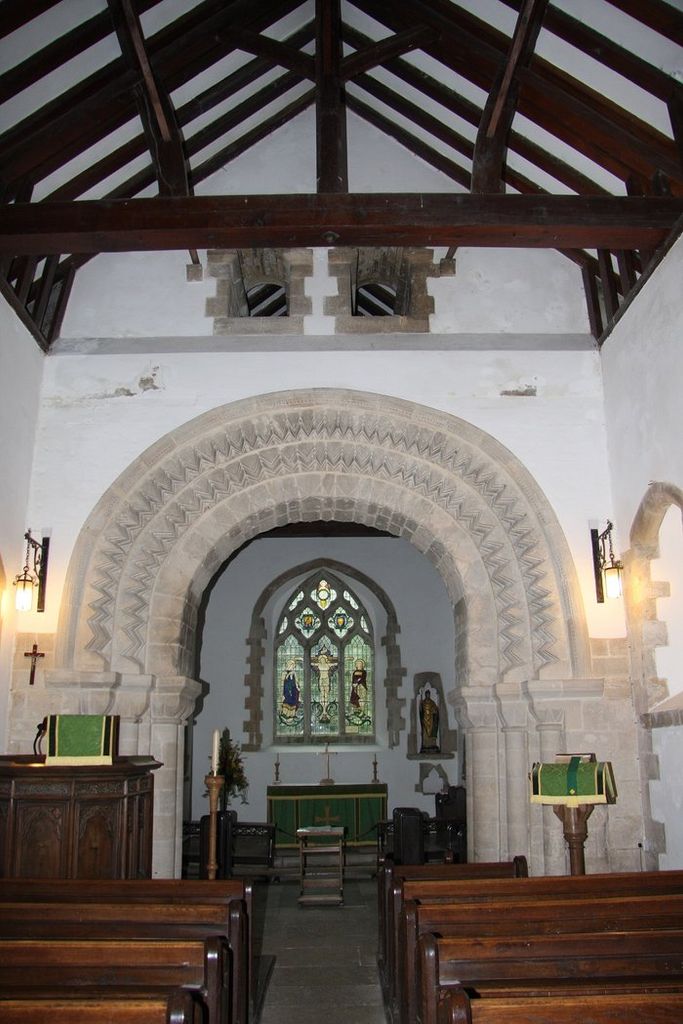
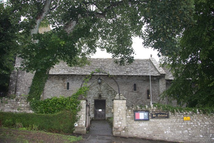
| Description | : | St Nicholas Church, Worth Matravers is a Norman church with Saxon origins. It is sometimes referred to as St Nicholas of Myra. The photo was taken by the late Dr. Colin F. Parsons and is being used with the kind permission of his family. |
frequently asked questions (FAQ):
-
Where is St Nicholas Churchyard?
St Nicholas Churchyard is located at Worth Matravers, Purbeck District ,Dorset ,England.
-
St Nicholas Churchyard cemetery's updated grave count on graveviews.com?
0 memorials
-
Where are the coordinates of the St Nicholas Churchyard?
Latitude: 50.5967650
Longitude: -2.0397410
Nearby Cemetories:
1. Kingston Chapel
Kingston, Purbeck District, England
Coordinate: 50.6159590, -2.0600790
2. St James Churchyard
Kingston, Purbeck District, England
Coordinate: 50.6156390, -2.0641100
3. St George Churchyard
Langton Matravers, Purbeck District, England
Coordinate: 50.6096640, -2.0039300
4. Langton Matravers Church Cemetery
Langton Matravers, Purbeck District, England
Coordinate: 50.6096300, -2.0025700
5. Swyre Head
Chaldon Herring, Purbeck District, England
Coordinate: 50.6058320, -2.0944380
6. Old Church Cemetery
Corfe Castle, Purbeck District, England
Coordinate: 50.6367499, -2.0549142
7. God's Acre Cemetery
Corfe Castle, Purbeck District, England
Coordinate: 50.6366100, -2.0591320
8. St Edward King and Martyr
Corfe Castle, Purbeck District, England
Coordinate: 50.6383980, -2.0573030
9. Godlingston Cemetery
Swanage, Purbeck District, England
Coordinate: 50.6217400, -1.9749200
10. St Peter's Churchyard Church Knowle
Church Knowle, Purbeck District, England
Coordinate: 50.6370800, -2.0851140
11. St. Mary the Virgin Churchyard
Swanage, Purbeck District, England
Coordinate: 50.6086280, -1.9631060
12. St Mary the Virgin Churchyard
Swanage, Purbeck District, England
Coordinate: 50.6087180, -1.9630010
13. Northbrook Cemetery
Swanage, Purbeck District, England
Coordinate: 50.6106750, -1.9631520
14. Kimmeridge Churchyard
Kimmeridge, Purbeck District, England
Coordinate: 50.6192291, -2.1187155
15. St. Michael's and All Angels Churchyard
Steeple, Purbeck District, England
Coordinate: 50.6277090, -2.1267040
16. Saint Nicholas Churchyard
Studland, Purbeck District, England
Coordinate: 50.6425800, -1.9498100
17. St Mary's Churchyard
Tyneham, Purbeck District, England
Coordinate: 50.6230090, -2.1689980
18. Lady St Mary Churchyard
Wareham, Purbeck District, England
Coordinate: 50.6843130, -2.1077420
19. Wareham Cemetery
Wareham, Purbeck District, England
Coordinate: 50.6848600, -2.1066320
20. United Reformed Churchyard
Wareham, Purbeck District, England
Coordinate: 50.6860338, -2.1078591
21. St. John the Evangelist
East Holme, Purbeck District, England
Coordinate: 50.6730910, -2.1440880
22. Hill View Cemetery
Wareham, Purbeck District, England
Coordinate: 50.6828550, -2.1266310
23. St Martin-on-the-Walls
Wareham, Purbeck District, England
Coordinate: 50.6888000, -2.1115000
24. St. Mary's Church
Brownsea Island, Poole Unitary Authority, England
Coordinate: 50.6895400, -1.9615340