
| Memorials | : | 0 |
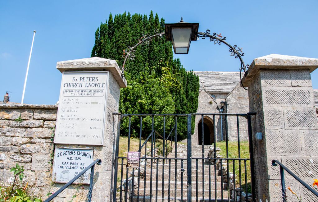
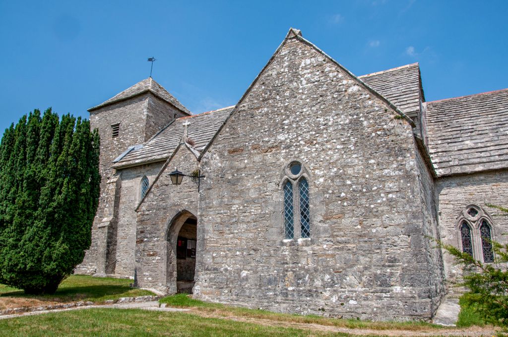
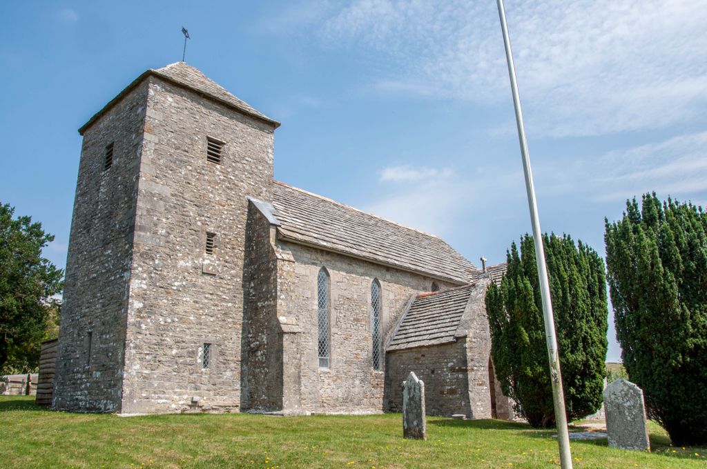
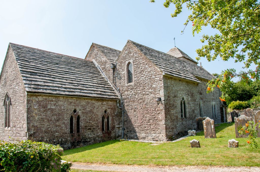
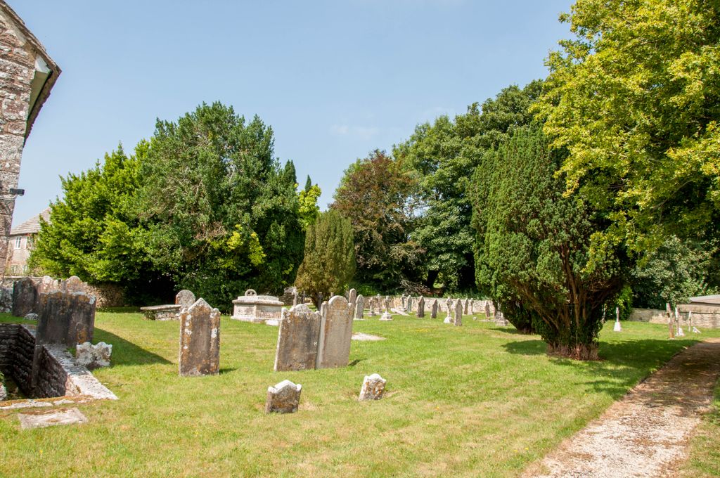
| Location | : | Church Knowle, Purbeck District, England |
| Coordinate | : | 50.6370800, -2.0851140 |
| Description | : | Church Knowle is a small village on the Isle of Purbeck, in the county of Dorset, in the south of England. Church Knowle is situated about one mile west of Corfe Castle, four miles south of Wareham and about six miles west of Swanage. |
frequently asked questions (FAQ):
-
Where is St Peter's Churchyard Church Knowle?
St Peter's Churchyard Church Knowle is located at Church Knowle, Purbeck District ,Dorset ,England.
-
St Peter's Churchyard Church Knowle cemetery's updated grave count on graveviews.com?
0 memorials
-
Where are the coordinates of the St Peter's Churchyard Church Knowle?
Latitude: 50.6370800
Longitude: -2.0851140
Nearby Cemetories:
1. God's Acre Cemetery
Corfe Castle, Purbeck District, England
Coordinate: 50.6366100, -2.0591320
2. St Edward King and Martyr
Corfe Castle, Purbeck District, England
Coordinate: 50.6383980, -2.0573030
3. Old Church Cemetery
Corfe Castle, Purbeck District, England
Coordinate: 50.6367499, -2.0549142
4. St James Churchyard
Kingston, Purbeck District, England
Coordinate: 50.6156390, -2.0641100
5. Kingston Chapel
Kingston, Purbeck District, England
Coordinate: 50.6159590, -2.0600790
6. Kimmeridge Churchyard
Kimmeridge, Purbeck District, England
Coordinate: 50.6192291, -2.1187155
7. St. Michael's and All Angels Churchyard
Steeple, Purbeck District, England
Coordinate: 50.6277090, -2.1267040
8. Swyre Head
Chaldon Herring, Purbeck District, England
Coordinate: 50.6058320, -2.0944380
9. Lady St Mary Churchyard
Wareham, Purbeck District, England
Coordinate: 50.6843130, -2.1077420
10. St Nicholas Churchyard
Worth Matravers, Purbeck District, England
Coordinate: 50.5967650, -2.0397410
11. Wareham Cemetery
Wareham, Purbeck District, England
Coordinate: 50.6848600, -2.1066320
12. United Reformed Churchyard
Wareham, Purbeck District, England
Coordinate: 50.6860338, -2.1078591
13. St. John the Evangelist
East Holme, Purbeck District, England
Coordinate: 50.6730910, -2.1440880
14. Hill View Cemetery
Wareham, Purbeck District, England
Coordinate: 50.6828550, -2.1266310
15. St Martin-on-the-Walls
Wareham, Purbeck District, England
Coordinate: 50.6888000, -2.1115000
16. St Mary's Churchyard
Tyneham, Purbeck District, England
Coordinate: 50.6230090, -2.1689980
17. St George Churchyard
Langton Matravers, Purbeck District, England
Coordinate: 50.6096640, -2.0039300
18. Langton Matravers Church Cemetery
Langton Matravers, Purbeck District, England
Coordinate: 50.6096300, -2.0025700
19. Godlingston Cemetery
Swanage, Purbeck District, England
Coordinate: 50.6217400, -1.9749200
20. St. Mary's Churchyard
East Stoke, Purbeck District, England
Coordinate: 50.6830000, -2.1818000
21. St. Andrew's Parish Church
East Lulworth, Purbeck District, England
Coordinate: 50.6381750, -2.2081720
22. Lulworth Castle Chapel
East Lulworth, Purbeck District, England
Coordinate: 50.6399070, -2.2099960
23. Northbrook Cemetery
Swanage, Purbeck District, England
Coordinate: 50.6106750, -1.9631520
24. St. Mary the Virgin Churchyard
Swanage, Purbeck District, England
Coordinate: 50.6086280, -1.9631060