
| Memorials | : | 0 |
| Location | : | Wareham, Purbeck District, England |
| Coordinate | : | 50.6848600, -2.1066320 |
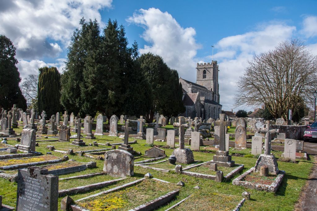
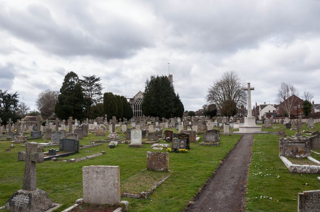
| Description | : | Historical Information Wareham Military Hospital, with 185 beds, was at Worgret Camp during the First World War and the regimental depot of the Royal Armoured Corps was at nearby Bovington during the Second World War. Wareham Cemetery contains 49 First World War burials and 15 from the Second World War, 5 being unidentified. The cemetery also contains 12 German burials, 1 being an unidentified airman. |
frequently asked questions (FAQ):
-
Where is Wareham Cemetery?
Wareham Cemetery is located at Wareham, Purbeck District ,Dorset ,England.
-
Wareham Cemetery cemetery's updated grave count on graveviews.com?
0 memorials
-
Where are the coordinates of the Wareham Cemetery?
Latitude: 50.6848600
Longitude: -2.1066320
Nearby Cemetories:
1. Lady St Mary Churchyard
Wareham, Purbeck District, England
Coordinate: 50.6843130, -2.1077420
2. United Reformed Churchyard
Wareham, Purbeck District, England
Coordinate: 50.6860338, -2.1078591
3. St Martin-on-the-Walls
Wareham, Purbeck District, England
Coordinate: 50.6888000, -2.1115000
4. Hill View Cemetery
Wareham, Purbeck District, England
Coordinate: 50.6828550, -2.1266310
5. St. John the Evangelist
East Holme, Purbeck District, England
Coordinate: 50.6730910, -2.1440880
6. St. Mary's Churchyard
East Stoke, Purbeck District, England
Coordinate: 50.6830000, -2.1818000
7. St Peter's Churchyard Church Knowle
Church Knowle, Purbeck District, England
Coordinate: 50.6370800, -2.0851140
8. St Edward King and Martyr
Corfe Castle, Purbeck District, England
Coordinate: 50.6383980, -2.0573030
9. God's Acre Cemetery
Corfe Castle, Purbeck District, England
Coordinate: 50.6366100, -2.0591320
10. Lytchett Minster United Reformed Church
Lytchett Minster, Purbeck District, England
Coordinate: 50.7346300, -2.0622130
11. Old Church Cemetery
Corfe Castle, Purbeck District, England
Coordinate: 50.6367499, -2.0549142
12. St. Michael's and All Angels Churchyard
Steeple, Purbeck District, England
Coordinate: 50.6277090, -2.1267040
13. Lytchett Minster Parish Churchyard
Lytchett Minster, Purbeck District, England
Coordinate: 50.7372870, -2.0573970
14. Bindon Abbey Graveyard
Wool, Purbeck District, England
Coordinate: 50.6802430, -2.2097550
15. Kimmeridge Churchyard
Kimmeridge, Purbeck District, England
Coordinate: 50.6192291, -2.1187155
16. Holy Rood Churchyard
Wool, Purbeck District, England
Coordinate: 50.6774970, -2.2169630
17. St. Michael's Churchyard
Hamworthy, Poole Unitary Authority, England
Coordinate: 50.7199660, -2.0099190
18. Monkey World
Bovington Camp, Purbeck District, England
Coordinate: 50.6994813, -2.2169029
19. St Mary's Churchyard
Tyneham, Purbeck District, England
Coordinate: 50.6230090, -2.1689980
20. St James Churchyard
Kingston, Purbeck District, England
Coordinate: 50.6156390, -2.0641100
21. Upton Cemetery
Upton, Purbeck District, England
Coordinate: 50.7436900, -2.0348970
22. Kingston Chapel
Kingston, Purbeck District, England
Coordinate: 50.6159590, -2.0600790
23. St Mary's Church
East Morden, Purbeck District, England
Coordinate: 50.7597770, -2.1200990
24. Harbour View Woodland Burial Ground
Lytchett Minster, Purbeck District, England
Coordinate: 50.7507040, -2.0434430