| Memorials | : | 0 |
| Location | : | Grindale, East Riding of Yorkshire Unitary Authority, England |
frequently asked questions (FAQ):
-
Where is St Nicholas Churchyard?
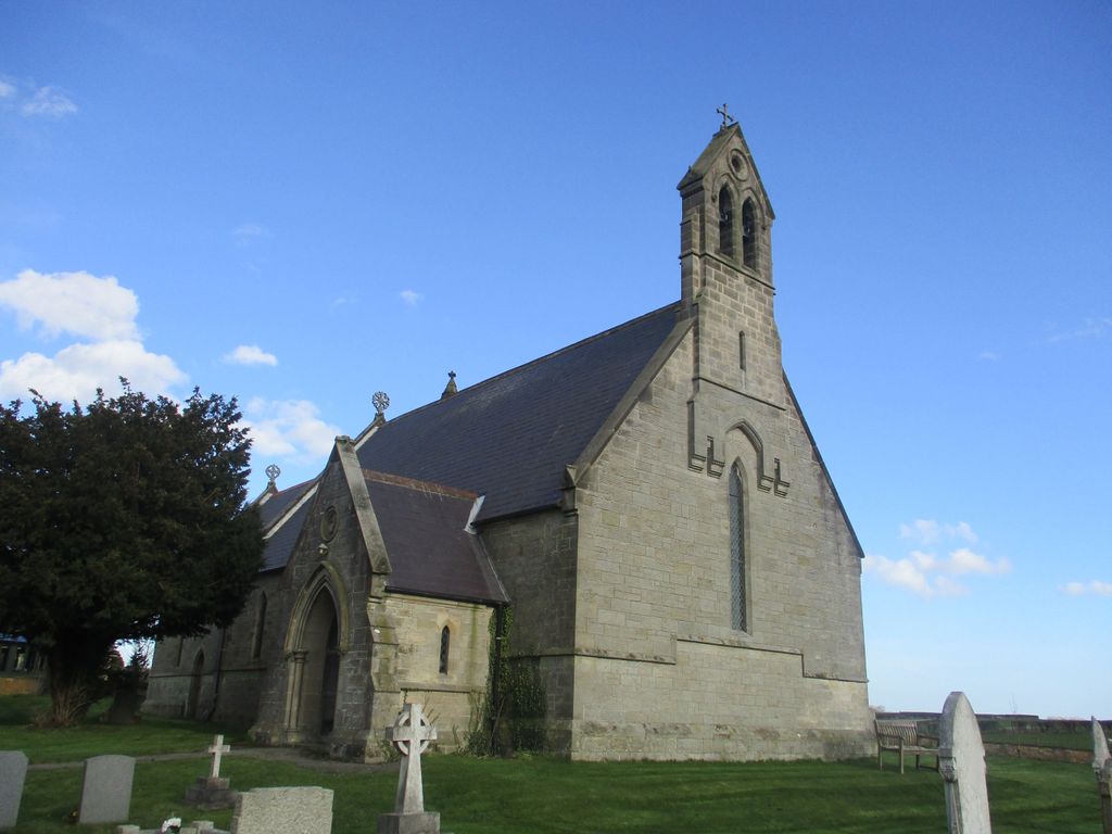
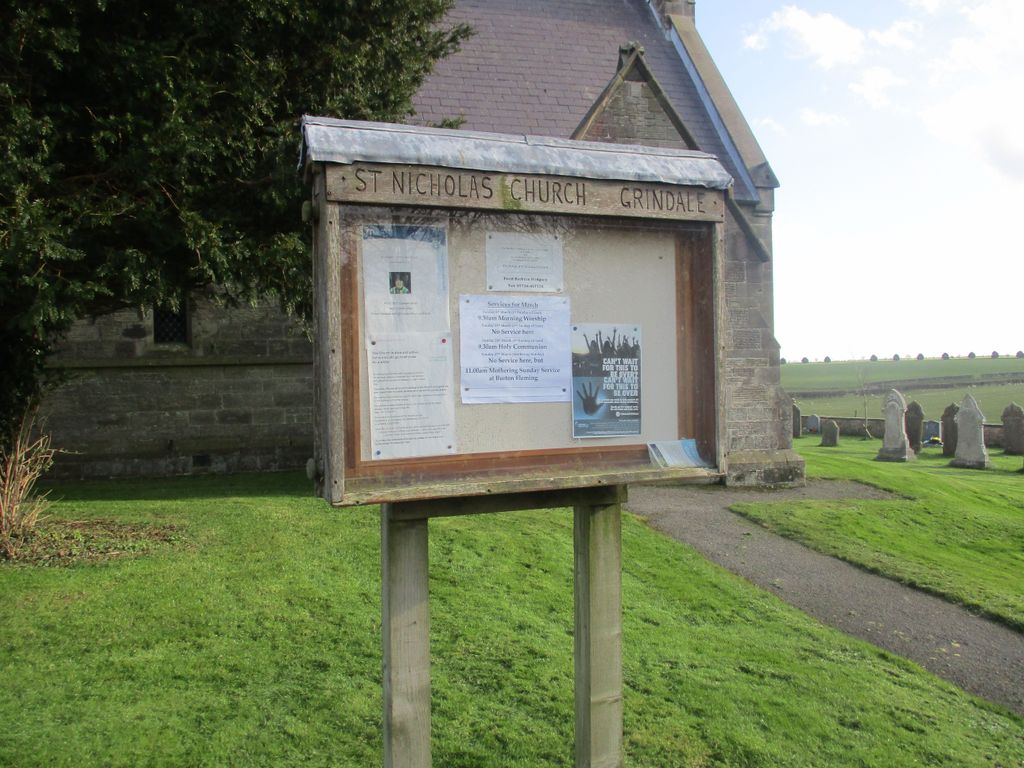
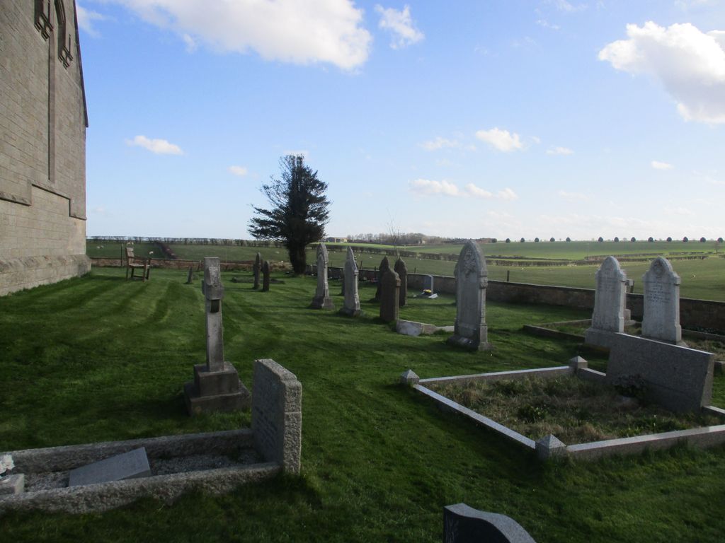
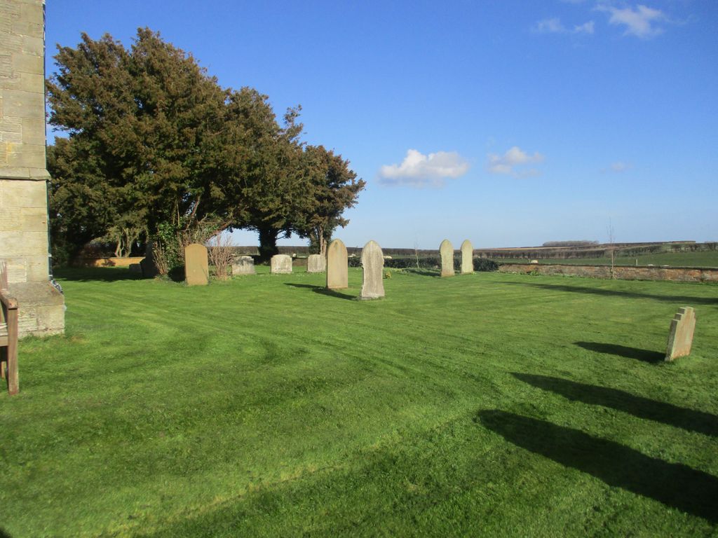
St Nicholas Churchyard is located at Grindale, East Riding of Yorkshire Unitary Authority, England.
-
St Nicholas Churchyard cemetery's updated grave count on graveviews.com?
0 memorials
Nearby Cemetories:
1. All Saints Churchyard
Adlingfleet, East Riding of Yorkshire Unitary Authority, England
Coordinate: 53.7024600, -0.8719260
2. All Saints Churchyard
Aughton, East Riding of Yorkshire Unitary Authority, England
Coordinate: 53.8573320, -0.7556910
3. St Magnus Churchyard
Bessingby, East Riding of Yorkshire Unitary Authority, England
Coordinate: 53.8401222, -0.7544300
4. St. Edith Churchyard
Bishop Wilton, East Riding of Yorkshire Unitary Authority, England
Coordinate: 53.9878100, -0.6560000
5. Welton Church Cemetery
Brough, East Riding of Yorkshire Unitary Authority, England
Coordinate: 53.6199600, 0.1318900
6. St Cuthbert Churchyard
Burton Fleming, East Riding of Yorkshire Unitary Authority, England
Coordinate: 53.7196250, -0.8000900
7. St. Mary Churchyard
Cowlam, East Riding of Yorkshire Unitary Authority, England
Coordinate: 53.8686420, -0.2928580
8. Holy Trinity Churchyard
East Cowick, East Riding of Yorkshire Unitary Authority, England
Coordinate: 53.8288200, -0.1257900
9. St Lawrence Churchyard
Elstronwick, East Riding of Yorkshire Unitary Authority, England
Coordinate: 53.8297390, -0.1107480
10. Fordon Churchyard
East Riding of Yorkshire Unitary Authority, England
Coordinate: 53.9307670, -0.8189520
11. St. Mary's Churchyard
Fridaythorpe, East Riding of Yorkshire Unitary Authority, England
Coordinate: 54.1310270, -0.1784250
12. Goole Cemetery
Goole, East Riding of Yorkshire Unitary Authority, England
Coordinate: 53.8443750, -0.4959940
13. St. John the Evangelist Churchyard
Goole, East Riding of Yorkshire Unitary Authority, England
Coordinate: 53.7024600, -0.8719260
14. St Peter Churchyard
Harswell, East Riding of Yorkshire Unitary Authority, England
Coordinate: 53.8573320, -0.7556910
15. All Saints Churchyard
Holme-on-Spalding-Moor, East Riding of Yorkshire Unitary Authority, England
Coordinate: 53.8401222, -0.7544300
16. Saint Mary's Churchyard
Huggate, East Riding of Yorkshire Unitary Authority, England
Coordinate: 53.9878100, -0.6560000
17. St Helen Churchyard
Kilnsea, East Riding of Yorkshire Unitary Authority, England
Coordinate: 53.6199600, 0.1318900
18. St Peter Churchyard and Church Cemetery
Laxton, East Riding of Yorkshire Unitary Authority, England
Coordinate: 53.7196250, -0.8000900
19. St Margaret Churchyard
Long Riston, East Riding of Yorkshire Unitary Authority, England
Coordinate: 53.8686420, -0.2928580
20. Aldbrough Cemetery
Aldbrough, East Riding of Yorkshire Unitary Authority, England
Coordinate: 53.8288200, -0.1257900
21. St. Bartholomew Churchyard
Aldbrough, East Riding of Yorkshire Unitary Authority, England
Coordinate: 53.8297390, -0.1107480
22. St Catherine Churchyard
Barmby Moor, East Riding of Yorkshire Unitary Authority, England
Coordinate: 53.9307670, -0.8189520
23. St Michael Churchyard
Bempton, East Riding of Yorkshire Unitary Authority, England
Coordinate: 54.1310270, -0.1784250
24. All Saints Churchyard
Bishop Burton, East Riding of Yorkshire Unitary Authority, England
Coordinate: 53.8443750, -0.4959940


