
| Memorials | : | 18 |
| Location | : | Stroud, Stroud District, England |
| Coordinate | : | 51.7415670, -2.2002660 |
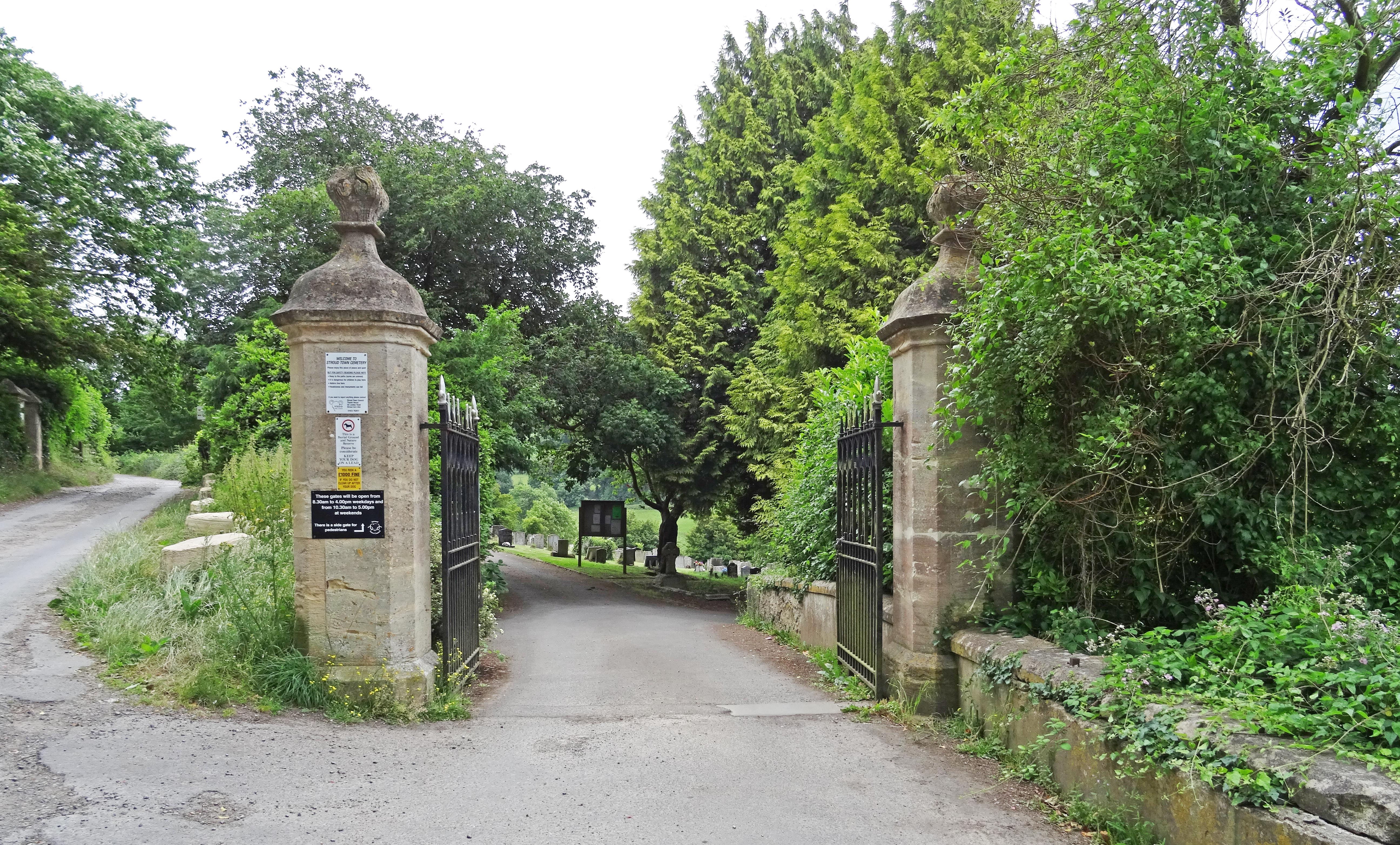
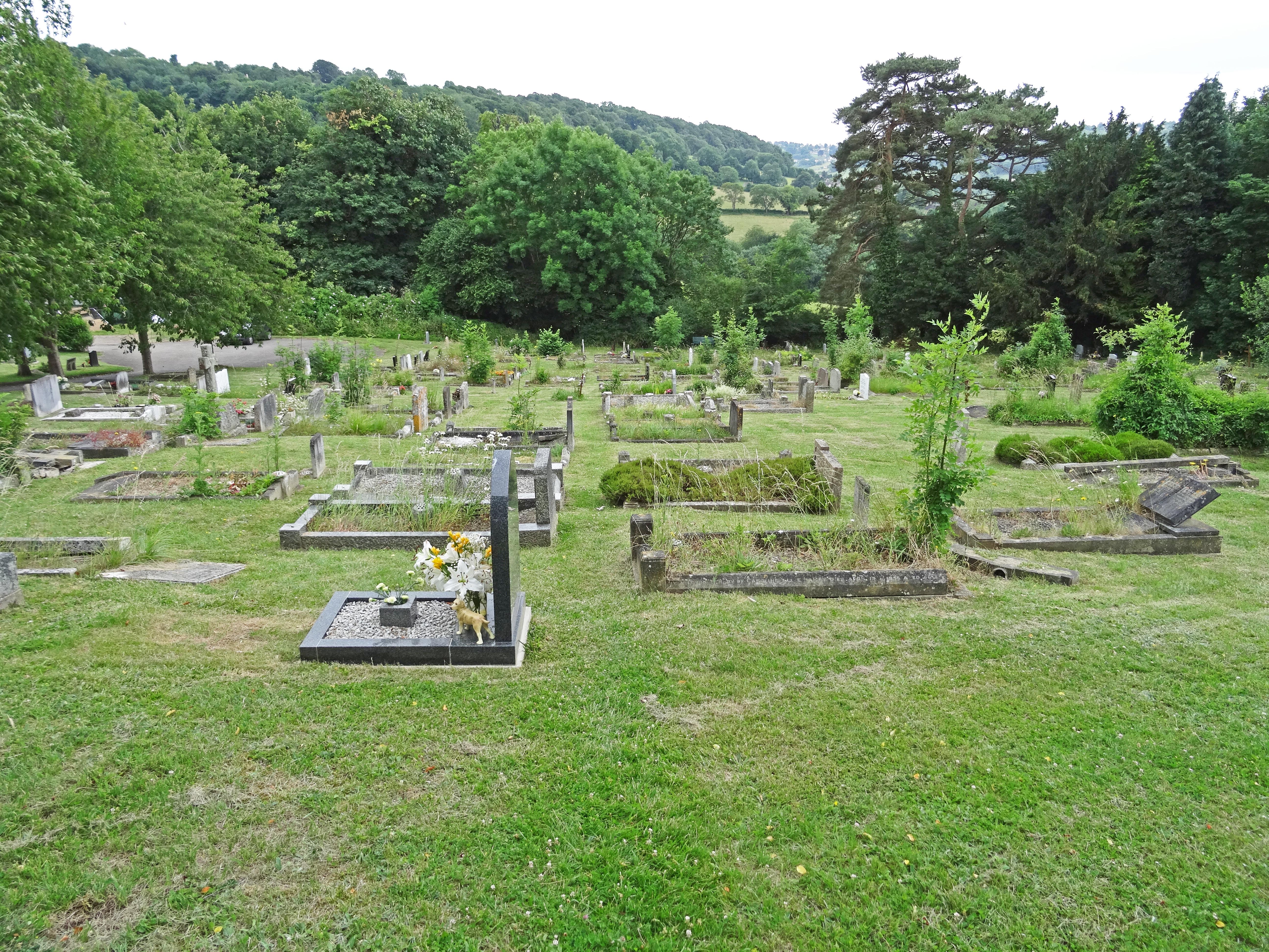
| Description | : | by Stroud Local History Society shows that there has always been an appreciation of the unique position and design of the cemetery. Kellys’ Directory of 1870 describes the cemetery as “large and laid out on an elevated piece of ground (near the Union House) in 1855, when the old church yard was closed; it is beautifully situated on a slope commanding an extensive view, and is a favourite Sunday resort and promenade”. On the 6th September 1856, the Gloucester Journal describing the Consecration of Stroud Cemetery said “The Church portion of the new cemetery on Stroud Hill was consecrated by the Lord... Read More |
frequently asked questions (FAQ):
-
Where is Stroud Hill Cemetery?
Stroud Hill Cemetery is located at Stroud, Stroud District ,Gloucestershire ,England.
-
Stroud Hill Cemetery cemetery's updated grave count on graveviews.com?
18 memorials
-
Where are the coordinates of the Stroud Hill Cemetery?
Latitude: 51.7415670
Longitude: -2.2002660
Nearby Cemetories:
1. Stroud Old Cemetery
Stroud, Stroud District, England
Coordinate: 51.7337658, -2.2094599
2. St. Laurence Churchyard
Stroud, Stroud District, England
Coordinate: 51.7459470, -2.2153950
3. Rodborough Tabernacle
Rodborough, Stroud District, England
Coordinate: 51.7345300, -2.2245700
4. St. Mary Magdalene Churchyard
Rodborough, Stroud District, England
Coordinate: 51.7384180, -2.2284060
5. St. Michael's and All Angels Churchyard
Bisley, Stroud District, England
Coordinate: 51.7301150, -2.1715900
6. Holy Trinity Churchyard
Slad, Stroud District, England
Coordinate: 51.7647770, -2.1866550
7. Eastcombe Baptist Churchyard
Eastcombe, Stroud District, England
Coordinate: 51.7378009, -2.1606789
8. Brimscombe Cemetery
Brimscombe, Stroud District, England
Coordinate: 51.7165900, -2.1900600
9. St. Mary of the Angels Churchyard
Chalford, Stroud District, England
Coordinate: 51.7219000, -2.1708000
10. St Paul Churchyard
Whiteshill, Stroud District, England
Coordinate: 51.7597750, -2.2321540
11. St Mary's Churchyard
Woodchester, Stroud District, England
Coordinate: 51.7224900, -2.2333920
12. Saint Matthews Churchyard
Cainscross, Stroud District, England
Coordinate: 51.7430640, -2.2469780
13. All Saints Churchyard
Selsley, Stroud District, England
Coordinate: 51.7327800, -2.2487900
14. Amberley Methodist Church - Littleworth Wesleyan C
Amberley, Stroud District, England
Coordinate: 51.7123580, -2.2202540
15. St John the Baptist Churchyard
Pitchcombe, Stroud District, England
Coordinate: 51.7727590, -2.2166790
16. Christ Church Churchyard
Chalford, Stroud District, England
Coordinate: 51.7214500, -2.1577900
17. Amberley Church Cemetery
Amberley, Stroud District, England
Coordinate: 51.7091900, -2.2196100
18. Holy Trinity Churchyard
Amberley, Stroud District, England
Coordinate: 51.7087660, -2.2177170
19. St. John the Baptist Churchyard
Randwick, Stroud District, England
Coordinate: 51.7587400, -2.2514000
20. France Lynch Congregational Chapelyard
Chalford, Stroud District, England
Coordinate: 51.7251000, -2.1485300
21. Holy Trinity Churchyard
Minchinhampton, Stroud District, England
Coordinate: 51.7063600, -2.1860700
22. St. John the Baptist Churchyard
France Lynch, Stroud District, England
Coordinate: 51.7265600, -2.1445600
23. All Saints Churchyard
Bisley, Stroud District, England
Coordinate: 51.7520580, -2.1409380
24. Priory Church of the Annunciation Churchyard
Woodchester, Stroud District, England
Coordinate: 51.7080680, -2.2305250