
| Memorials | : | 0 |
| Location | : | East Dean, Chichester District, England |
| Coordinate | : | 50.9111110, -0.7136340 |
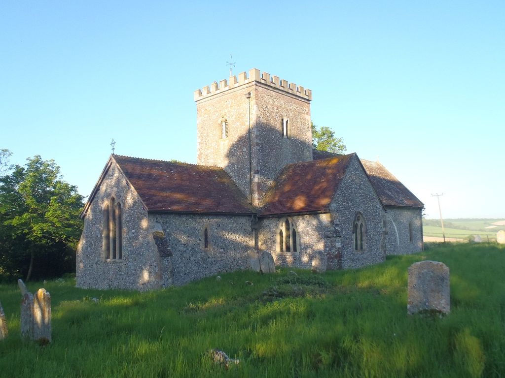
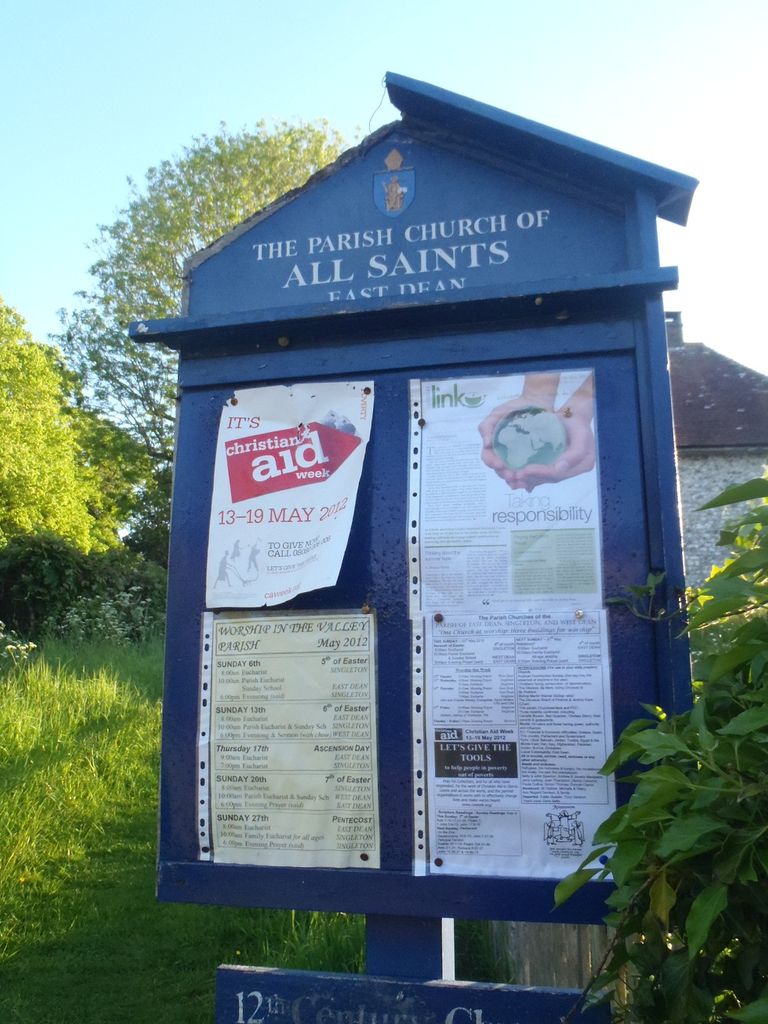
| Description | : | This East Dean is not to be confused with the East Dean of East Sussex. East Dean is a village and civil parish in the District of Chichester in West Sussex, England located nine kilometres (6 miles) north east of Chichester on a narrow road between Singleton on the A286 and Upwaltham on the A285 road.[text by wertypop] The 'Valley Parish' of East Dean, Singleton, & West Dean is in the upper Lavant valley.The parish was created on 1st December 2005, by the merger of the three ancient parishes, which had shared incumbents for 40 years. All Saints East Dean is a... Read More |
frequently asked questions (FAQ):
-
Where is All Saints Churchyard?
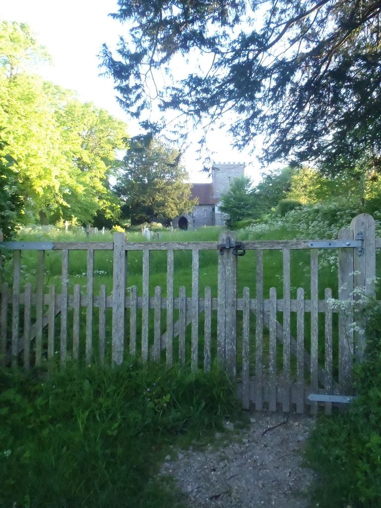
All Saints Churchyard is located at Newhouse Lane/The Street East Dean, Chichester District ,West Sussex , PO18 0JGEngland.
-
All Saints Churchyard cemetery's updated grave count on graveviews.com?
0 memorials
-
Where are the coordinates of the All Saints Churchyard?
Latitude: 50.9111110
Longitude: -0.7136340
Nearby Cemetories:
1. St Mary the Virgin
Upwaltham, Chichester District, England
Coordinate: 50.9164000, -0.6600810
2. St Andrews Churchyard
West Dean, Chichester District, England
Coordinate: 50.9065650, -0.7762740
3. West Dean Cemetery
West Dean, Chichester District, England
Coordinate: 50.9060300, -0.7796100
4. Goodwood House
Chichester, Chichester District, England
Coordinate: 50.8723110, -0.7394830
5. St James Churchyard
Heyshott, Chichester District, England
Coordinate: 50.9556210, -0.7238880
6. St Peters Churchyard
East Lavington, Chichester District, England
Coordinate: 50.9379250, -0.6550920
7. St Mary and St Blaise Church
Boxgrove, Chichester District, England
Coordinate: 50.8599300, -0.7110320
8. Saint Mary's Churchyard
Lavant, Chichester District, England
Coordinate: 50.8694800, -0.7764350
9. Goodwood Motor Circuit Cemetery
Chichester, Chichester District, England
Coordinate: 50.8579000, -0.7538800
10. Holy Trinity Churchyard
Duncton, Chichester District, England
Coordinate: 50.9491400, -0.6337740
11. St Andrew Churchyard
Tangmere, Chichester District, England
Coordinate: 50.8479850, -0.7207170
12. St Mary Churchyard
Bepton, Chichester District, England
Coordinate: 50.9576460, -0.7837500
13. St Richards Catholic Churchyard
Slindon, Arun District, England
Coordinate: 50.8680000, -0.6359000
14. St Mary Churchyard
Slindon, Arun District, England
Coordinate: 50.8666480, -0.6355800
15. St Peter Churchyard
Westhampnett, Chichester District, England
Coordinate: 50.8483570, -0.7501950
16. St Mary Magdelene Churchyard
West Lavington, Chichester District, England
Coordinate: 50.9773640, -0.7311840
17. St Richard's Church
Duncton, Chichester District, England
Coordinate: 50.9486600, -0.6230000
18. St Mary Churchyard
Aldingbourne, Arun District, England
Coordinate: 50.8436400, -0.6935500
19. St. John The Baptist Churchyard Cemetery
Sutton, Chichester District, England
Coordinate: 50.9316638, -0.6080123
20. Chichester Crematorium and Garden of Remembrance
Chichester, Chichester District, England
Coordinate: 50.8438740, -0.7593710
21. St Andrew Churchyard and Extension
Oving, Chichester District, England
Coordinate: 50.8379190, -0.7219220
22. Portfield Cemetery
Chichester, Chichester District, England
Coordinate: 50.8408650, -0.7581440
23. St. Andrew's Churchyard
Didling, Chichester District, England
Coordinate: 50.9564810, -0.8126515
24. Carron Lane Cemetery
Midhurst, Chichester District, England
Coordinate: 50.9857040, -0.7513620