
| Memorials | : | 1 |
| Location | : | East Lavington, Chichester District, England |
| Coordinate | : | 50.9379250, -0.6550920 |
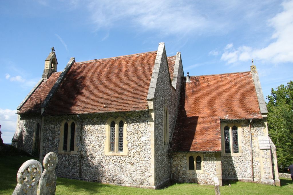
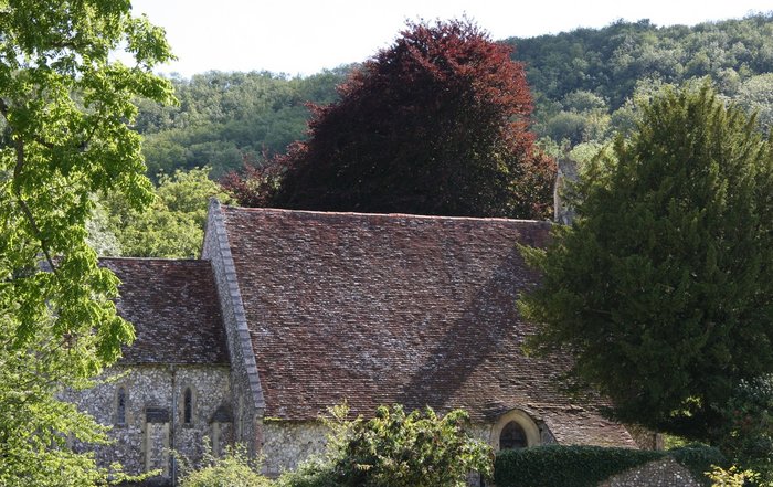
| Description | : | St Peter's is one the shepherds' churches on the Sussex Downs, mentioned in the Domesday Book survey of 1087, the statistical survey made by order of William I in 1087, East Lavington is described as "eleven villages with seven smallholders have four ploughs, a church, woodland, ten pigs...". The first illustration of the church is in a pictorial map of 1597 standing close to the Elizabethan mansion built by the first owner of the estates of Woolavington and Graffham when they were bought from the Earl of Arundel in 1578. |
frequently asked questions (FAQ):
-
Where is St Peters Churchyard?
St Peters Churchyard is located at Lavington Park, Woolavington East Lavington, Chichester District ,West Sussex , GU28 0NBEngland.
-
St Peters Churchyard cemetery's updated grave count on graveviews.com?
1 memorials
-
Where are the coordinates of the St Peters Churchyard?
Latitude: 50.9379250
Longitude: -0.6550920

Nearby Cemetories:
1. Holy Trinity Churchyard
Duncton, Chichester District, England
Coordinate: 50.9491400, -0.6337740
2. St Mary the Virgin
Upwaltham, Chichester District, England
Coordinate: 50.9164000, -0.6600810
3. St Richard's Church
Duncton, Chichester District, England
Coordinate: 50.9486600, -0.6230000
4. St. John The Baptist Churchyard Cemetery
Sutton, Chichester District, England
Coordinate: 50.9316638, -0.6080123
5. All Saints Churchyard
East Dean, Chichester District, England
Coordinate: 50.9111110, -0.7136340
6. St James Churchyard
Heyshott, Chichester District, England
Coordinate: 50.9556210, -0.7238880
7. Pitshill Garden of Rest
Tillington, Chichester District, England
Coordinate: 50.9893710, -0.6320950
8. All Hallows Churchyard Extension
Tillington, Chichester District, England
Coordinate: 50.9893231, -0.6313783
9. All Hallows Churchyard
Tillington, Chichester District, England
Coordinate: 50.9893180, -0.6291640
10. St Bartholomew Churchyard
Egdean, Chichester District, England
Coordinate: 50.9716740, -0.5819790
11. St Mary the Virgin Churchyard
Petworth, Chichester District, England
Coordinate: 50.9879345, -0.6096756
12. Bartons Lane Cemetery
Petworth, Chichester District, England
Coordinate: 50.9870920, -0.6073540
13. St Peter Churchyard
Lodsworth, Chichester District, England
Coordinate: 50.9968230, -0.6746850
14. St Mary Magdelene Churchyard
West Lavington, Chichester District, England
Coordinate: 50.9773640, -0.7311840
15. Horsham Road Cemetery
Petworth, Chichester District, England
Coordinate: 50.9920830, -0.6066060
16. St Mary the Virgin Churchyard
Fittleworth, Chichester District, England
Coordinate: 50.9641190, -0.5641100
17. Hampers Green Cemetery
Petworth, Chichester District, England
Coordinate: 50.9963280, -0.6101350
18. St. John the Evangelist Churchyard
Bury, Chichester District, England
Coordinate: 50.9084756, -0.5565667
19. St Richards Catholic Churchyard
Slindon, Arun District, England
Coordinate: 50.8680000, -0.6359000
20. St Mary Churchyard
Slindon, Arun District, England
Coordinate: 50.8666480, -0.6355800
21. Easebourne Priory
Easebourne, Chichester District, England
Coordinate: 50.9950335, -0.7258487
22. St Mary the Virgin Churchyard
Stopham, Chichester District, England
Coordinate: 50.9607210, -0.5397030
23. Carron Lane Cemetery
Midhurst, Chichester District, England
Coordinate: 50.9857040, -0.7513620
24. St Andrews Churchyard
West Dean, Chichester District, England
Coordinate: 50.9065650, -0.7762740