
| Memorials | : | 0 |
| Location | : | Bisley, Stroud District, England |
| Website | : | www.bisley-with-lypiatt.gov.uk/ |
| Coordinate | : | 51.7493640, -2.1389080 |
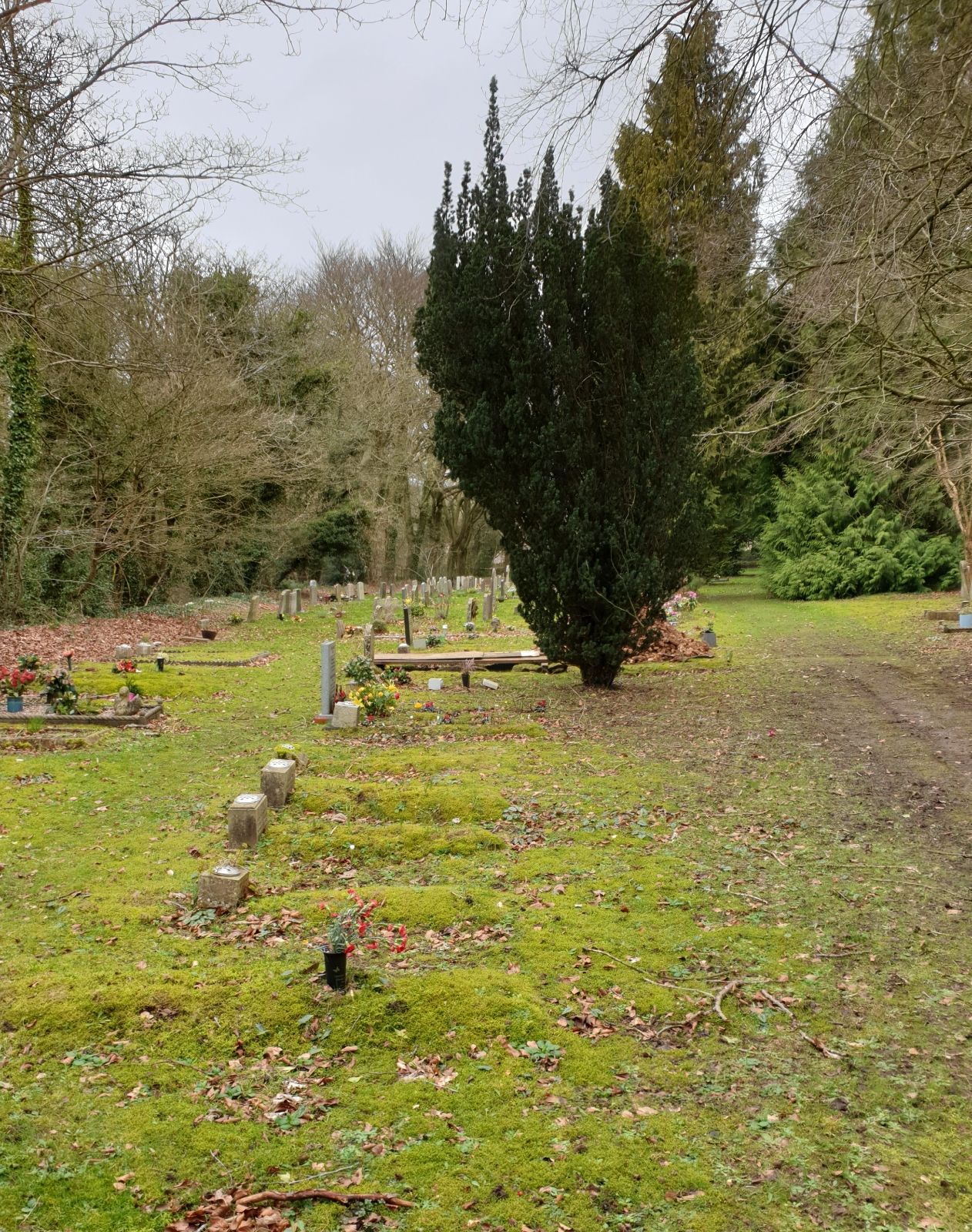
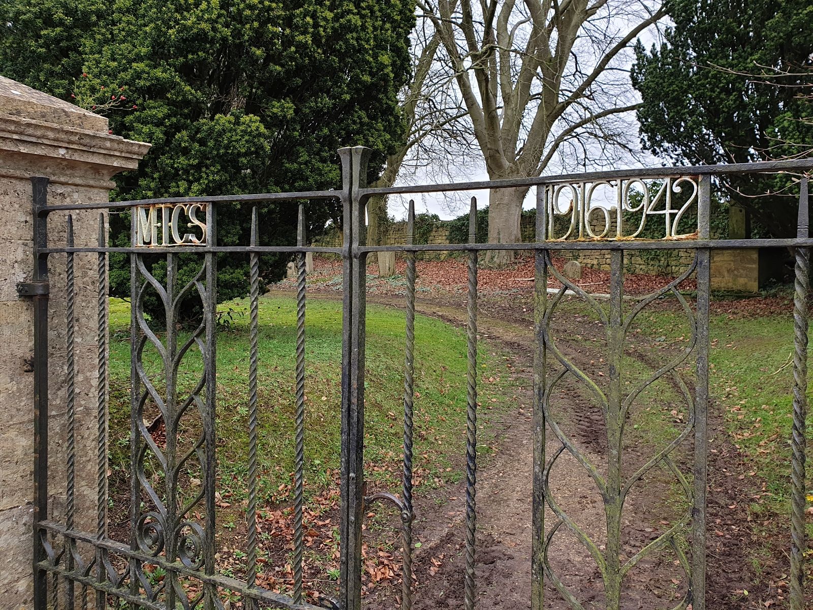
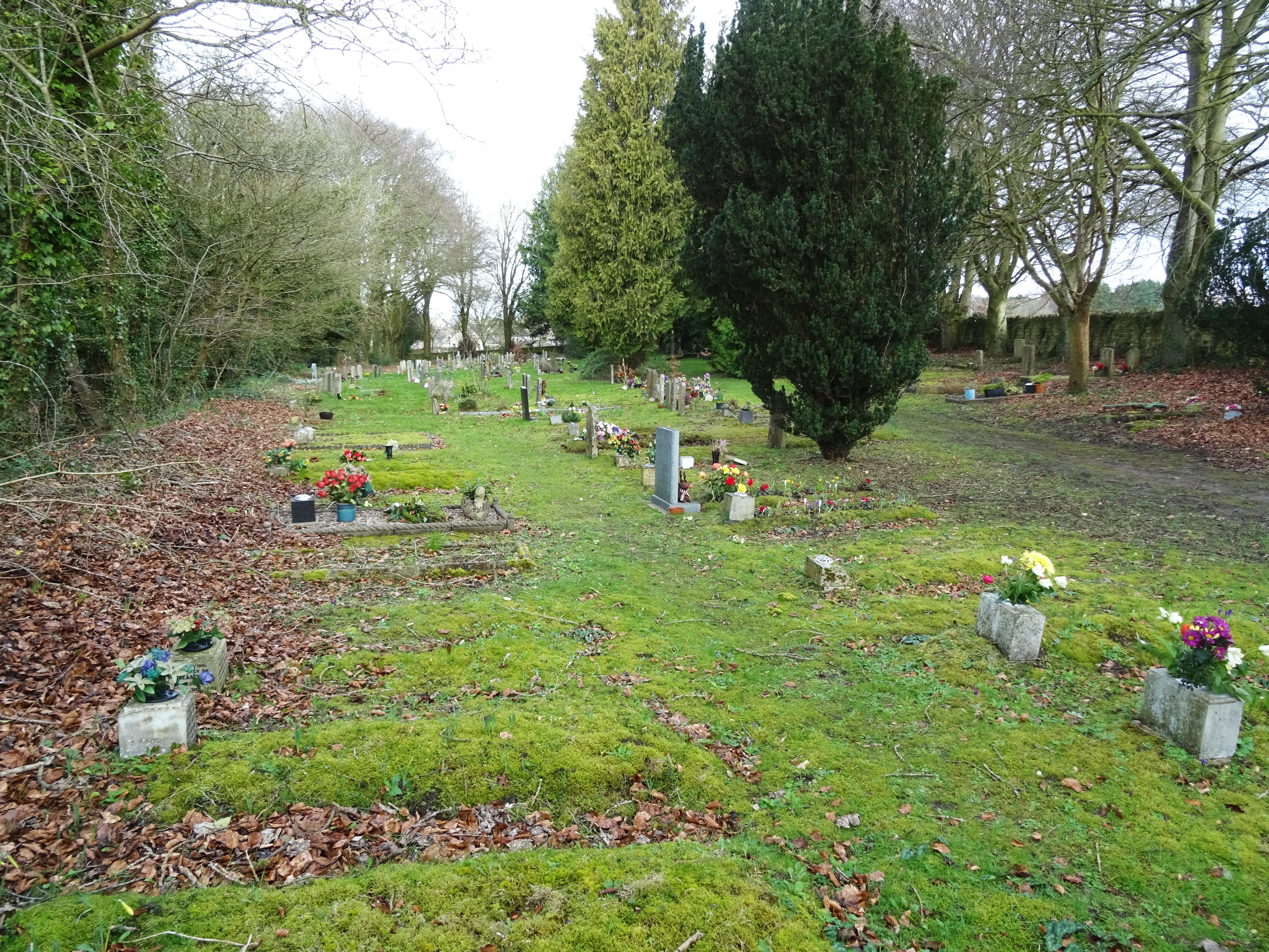
| Description | : | Also known as Bisley Cemetery, it is situated on the road to Oakridge, Gloucestershire, just outside the village of Bisley. The burial ground was consecrated by the Bishop of Gloucester, the Right Reverend, Edgar Charles Sumner Gibson, in the afternoon of Thursday, July 2, 1914 [1]. The burial ground contains two war graves. [1] Gloucestershire Echo, Friday, July 3, 1914. |
frequently asked questions (FAQ):
-
Where is Bisley Burial Ground?
Bisley Burial Ground is located at Holloway Road Bisley, Stroud District ,Gloucestershire , GL6 7ADEngland.
-
Bisley Burial Ground cemetery's updated grave count on graveviews.com?
0 memorials
-
Where are the coordinates of the Bisley Burial Ground?
Latitude: 51.7493640
Longitude: -2.1389080
Nearby Cemetories:
1. All Saints Churchyard
Bisley, Stroud District, England
Coordinate: 51.7520580, -2.1409380
2. Eastcombe Baptist Churchyard
Eastcombe, Stroud District, England
Coordinate: 51.7378009, -2.1606789
3. St Bartholemew Church
Oakridge, Stroud District, England
Coordinate: 51.7291209, -2.1276180
4. St. John the Baptist Churchyard
France Lynch, Stroud District, England
Coordinate: 51.7265600, -2.1445600
5. France Lynch Congregational Chapelyard
Chalford, Stroud District, England
Coordinate: 51.7251000, -2.1485300
6. Chalford Baptist Tabernacle Churchyard
Chalford, Stroud District, England
Coordinate: 51.7226610, -2.1443260
7. St. Michael's and All Angels Churchyard
Bisley, Stroud District, England
Coordinate: 51.7301150, -2.1715900
8. Christ Church Churchyard
Chalford, Stroud District, England
Coordinate: 51.7214500, -2.1577900
9. Holy Trinity Churchyard
Slad, Stroud District, England
Coordinate: 51.7647770, -2.1866550
10. St. Mary of the Angels Churchyard
Chalford, Stroud District, England
Coordinate: 51.7219000, -2.1708000
11. Stroud Hill Cemetery
Stroud, Stroud District, England
Coordinate: 51.7415670, -2.2002660
12. St. Andrew's Churchyard
Miserden, Stroud District, England
Coordinate: 51.7787500, -2.0940500
13. St. John the Apostle Churchyard
Sheepscombe, Stroud District, England
Coordinate: 51.7894990, -2.1582430
14. St. Kenelm's Churchyard
Sapperton, Cotswold District, England
Coordinate: 51.7294000, -2.0775000
15. Brimscombe Cemetery
Brimscombe, Stroud District, England
Coordinate: 51.7165900, -2.1900600
16. Stroud Old Cemetery
Stroud, Stroud District, England
Coordinate: 51.7337658, -2.2094599
17. St. Laurence Churchyard
Stroud, Stroud District, England
Coordinate: 51.7459470, -2.2153950
18. St. Mary the Virgin Churchyard
Painswick, Stroud District, England
Coordinate: 51.7852975, -2.1947224
19. Holy Trinity Churchyard
Minchinhampton, Stroud District, England
Coordinate: 51.7063600, -2.1860700
20. St John the Baptist Churchyard
Pitchcombe, Stroud District, England
Coordinate: 51.7727590, -2.2166790
21. Minchinhampton Baptist Churchyard
Minchinhampton, Stroud District, England
Coordinate: 51.7039614, -2.1853756
22. Rodborough Tabernacle
Rodborough, Stroud District, England
Coordinate: 51.7345300, -2.2245700
23. Saint Michael and All Angels Churchyard
Brimpsfield, Cotswold District, England
Coordinate: 51.8000000, -2.1000000
24. St. Mary Magdalene Churchyard
Rodborough, Stroud District, England
Coordinate: 51.7384180, -2.2284060