
| Memorials | : | 19 |
| Location | : | Sheepscombe, Stroud District, England |
| Coordinate | : | 51.7894990, -2.1582430 |
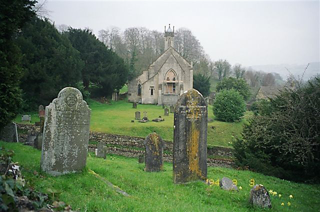
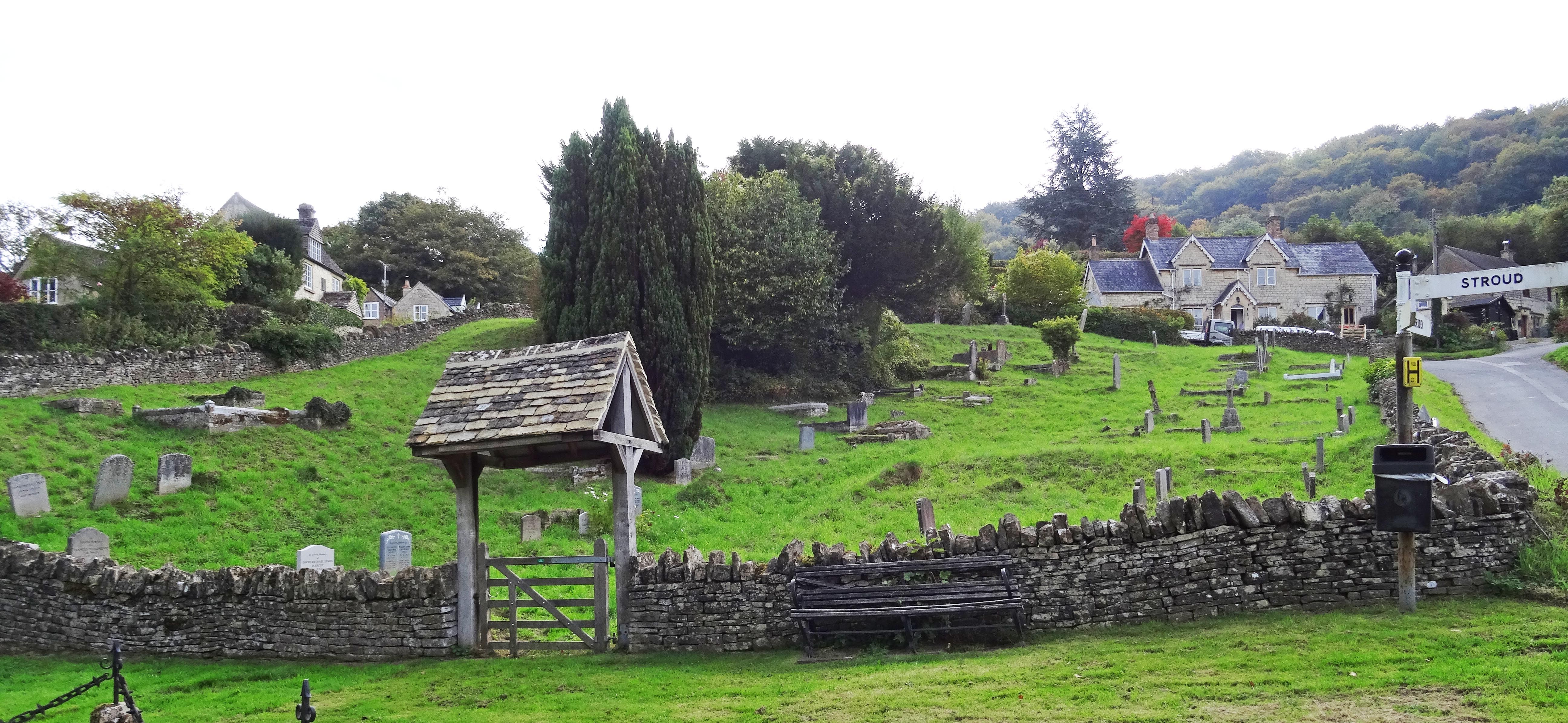
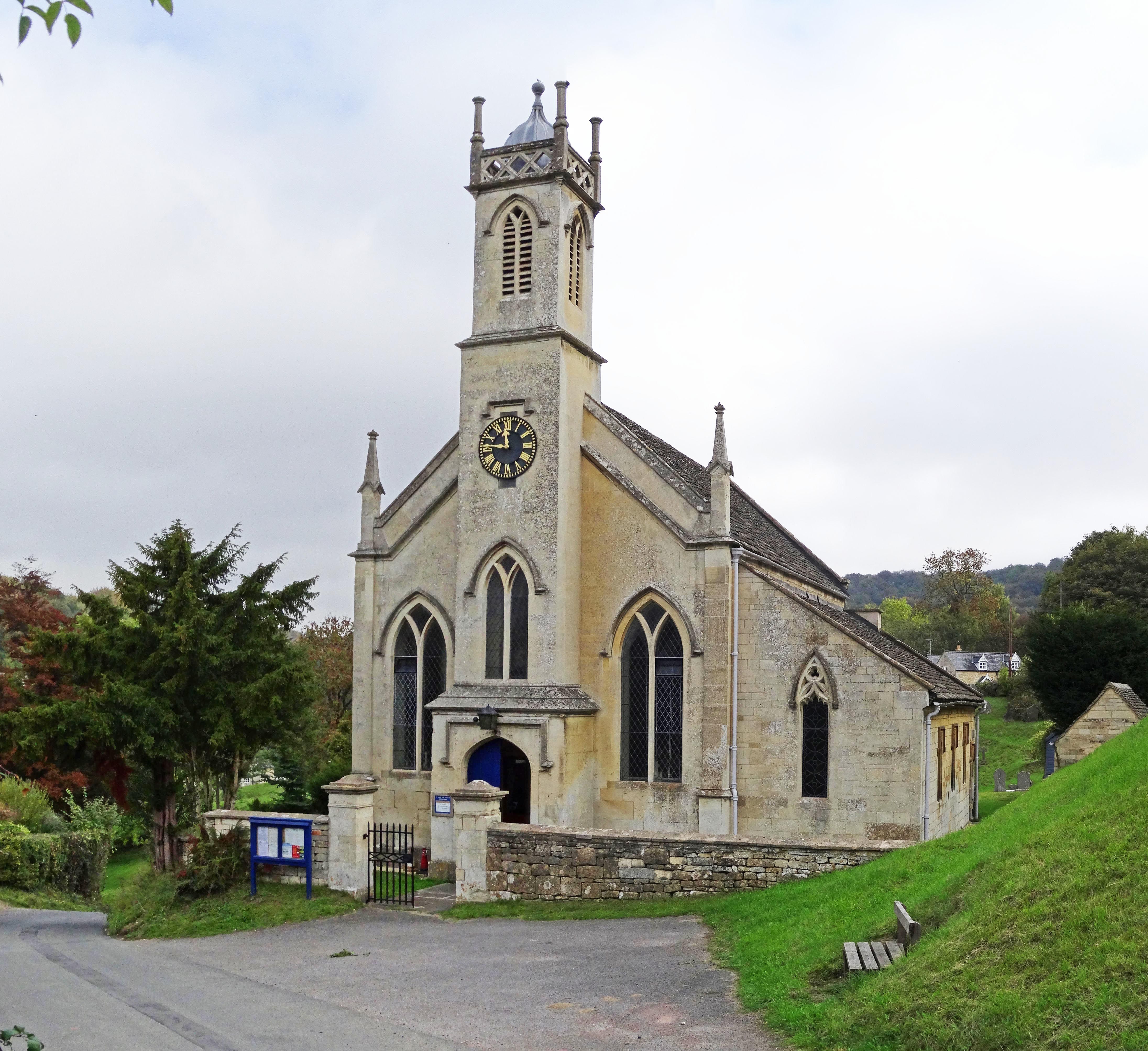
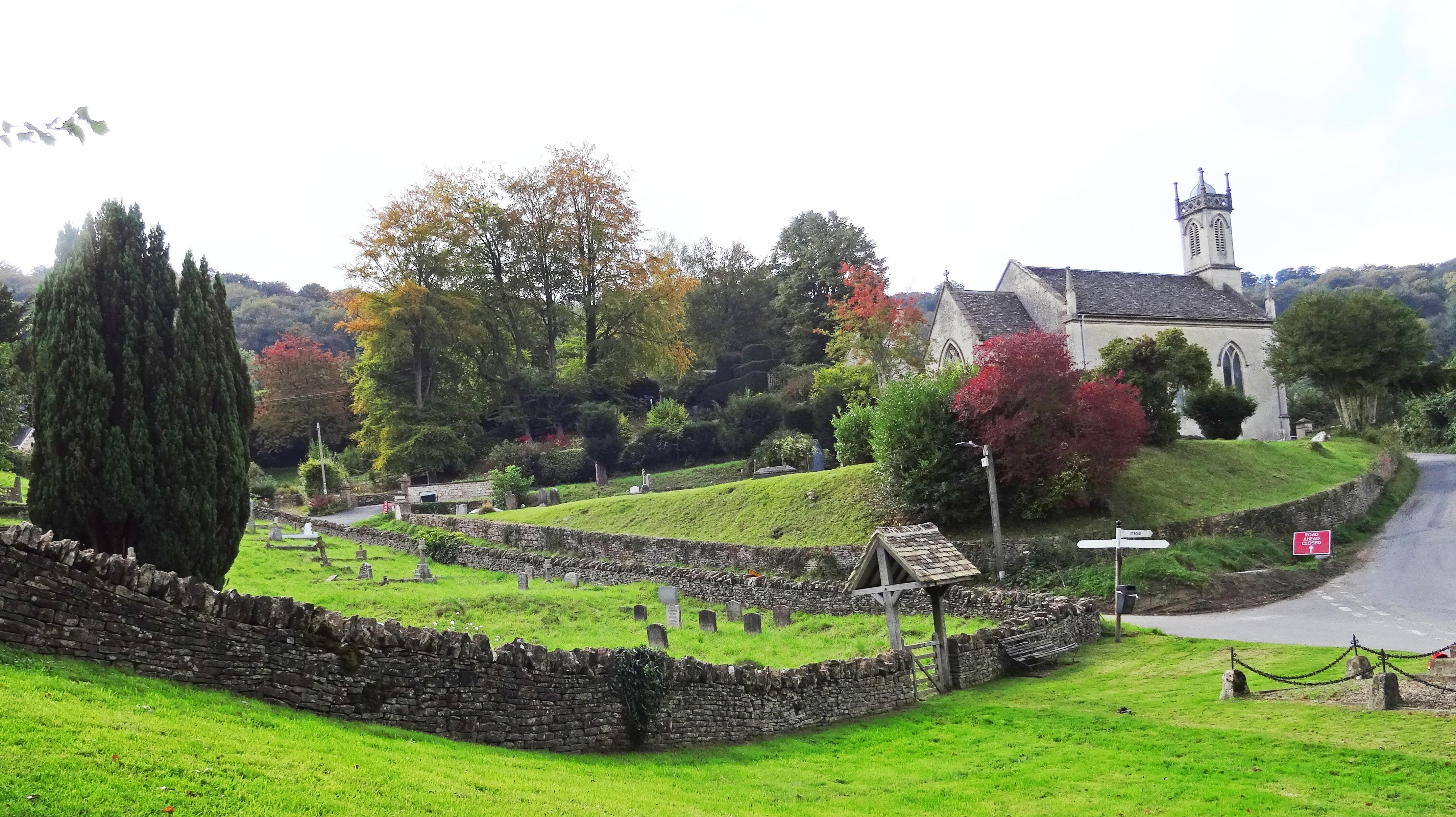
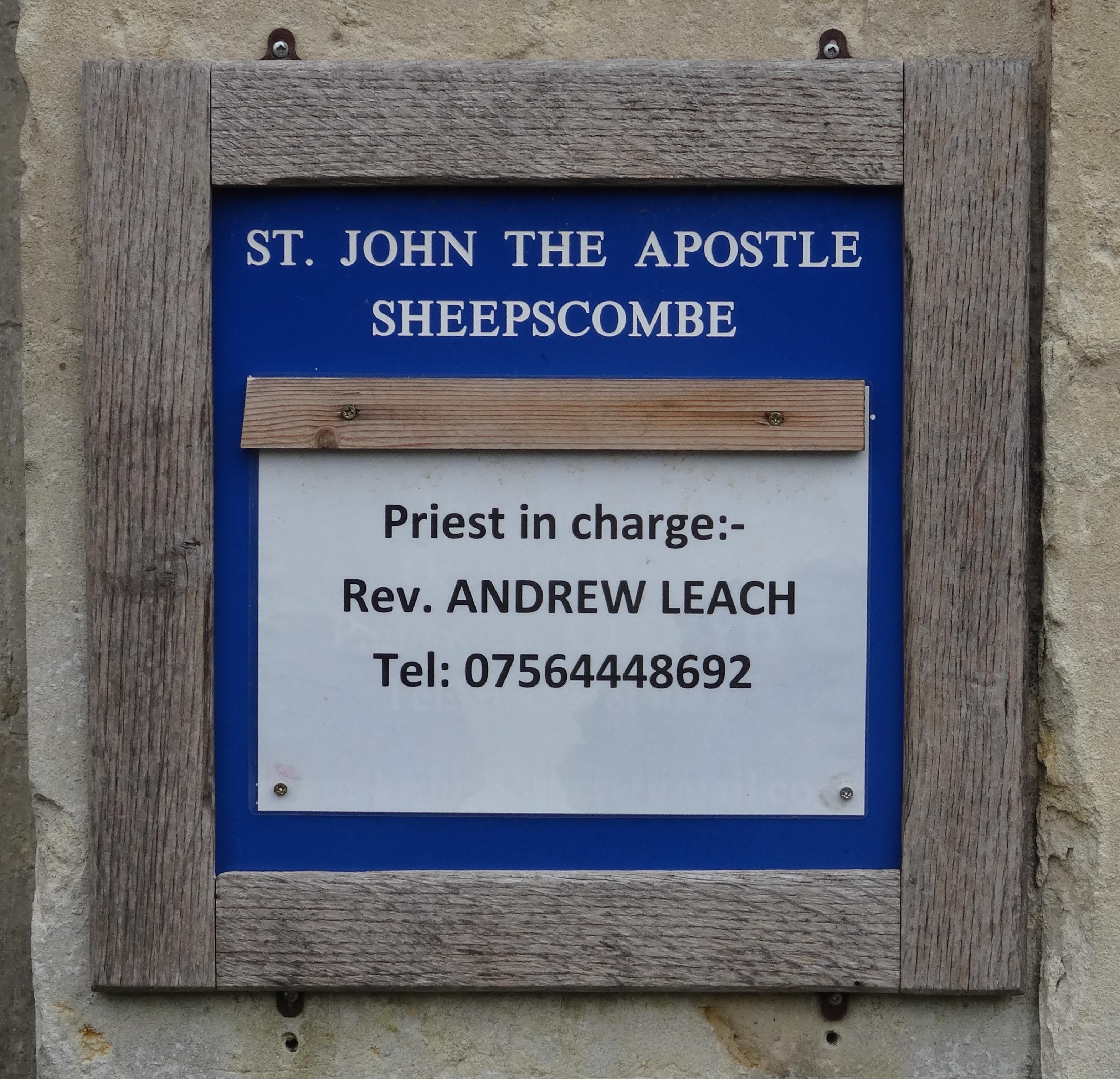
| Description | : | Located in Sheepscombe, Gloucstershire, England Sheepscombe is a small village in Gloucestershire, it is located about 6.5 miles south-east of Gloucester and about 2 miles from Painswick. St John the Apostle's Church was built in 1820, burials in the cemetery began shortly after that. |
frequently asked questions (FAQ):
-
Where is St. John the Apostle Churchyard?
St. John the Apostle Churchyard is located at Sheepscombe, Stroud District ,Gloucestershire ,England.
-
St. John the Apostle Churchyard cemetery's updated grave count on graveviews.com?
0 memorials
-
Where are the coordinates of the St. John the Apostle Churchyard?
Latitude: 51.7894990
Longitude: -2.1582430
Nearby Cemetories:
1. St. James the Great Churchyard
Cranham, Stroud District, England
Coordinate: 51.8102797, -2.1596329
2. Painswick Cemetery
Painswick, Stroud District, England
Coordinate: 51.7971040, -2.1918690
3. St. Mary the Virgin Churchyard
Painswick, Stroud District, England
Coordinate: 51.7852975, -2.1947224
4. Holy Trinity Churchyard
Slad, Stroud District, England
Coordinate: 51.7647770, -2.1866550
5. Prinknash Abbey
Cranham, Stroud District, England
Coordinate: 51.8225000, -2.1761110
6. Saint Michael and All Angels Churchyard
Brimpsfield, Cotswold District, England
Coordinate: 51.8000000, -2.1000000
7. All Saints Churchyard
Bisley, Stroud District, England
Coordinate: 51.7520580, -2.1409380
8. St John the Baptist Churchyard
Pitchcombe, Stroud District, England
Coordinate: 51.7727590, -2.2166790
9. St. Andrew's Churchyard
Miserden, Stroud District, England
Coordinate: 51.7787500, -2.0940500
10. Bisley Burial Ground
Bisley, Stroud District, England
Coordinate: 51.7493640, -2.1389080
11. Church of St. Mary
Great Witcombe, Tewkesbury Borough, England
Coordinate: 51.8316950, -2.1311090
12. St John the Baptist Churchyard
Harescombe, Stroud District, England
Coordinate: 51.7921570, -2.2373260
13. Eastcombe Baptist Churchyard
Eastcombe, Stroud District, England
Coordinate: 51.7378009, -2.1606789
14. St. Mary the Virgin Churchyard
Syde, Cotswold District, England
Coordinate: 51.7961724, -2.0750209
15. St. Swithun Churchyard
Brookthorpe, Stroud District, England
Coordinate: 51.8087500, -2.2402900
16. Stroud Hill Cemetery
Stroud, Stroud District, England
Coordinate: 51.7415670, -2.2002660
17. St Paul Churchyard
Whiteshill, Stroud District, England
Coordinate: 51.7597750, -2.2321540
18. St. Laurence Churchyard
Stroud, Stroud District, England
Coordinate: 51.7459470, -2.2153950
19. St. Peter's Churchyard
Bentham, Tewkesbury Borough, England
Coordinate: 51.8436420, -2.1249330
20. St. Michael's and All Angels Churchyard
Bisley, Stroud District, England
Coordinate: 51.7301150, -2.1715900
21. St Margaret Church
Whaddon, Stroud District, England
Coordinate: 51.8214600, -2.2433000
22. St George Churchyard
Brockworth, Tewkesbury Borough, England
Coordinate: 51.8517460, -2.1598180
23. St Bartholemew Church
Oakridge, Stroud District, England
Coordinate: 51.7291209, -2.1276180
24. St. John the Baptist Churchyard
France Lynch, Stroud District, England
Coordinate: 51.7265600, -2.1445600