
| Memorials | : | 0 |
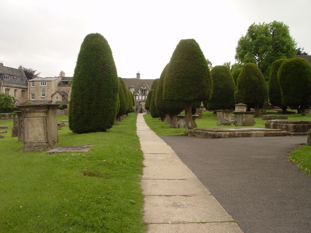
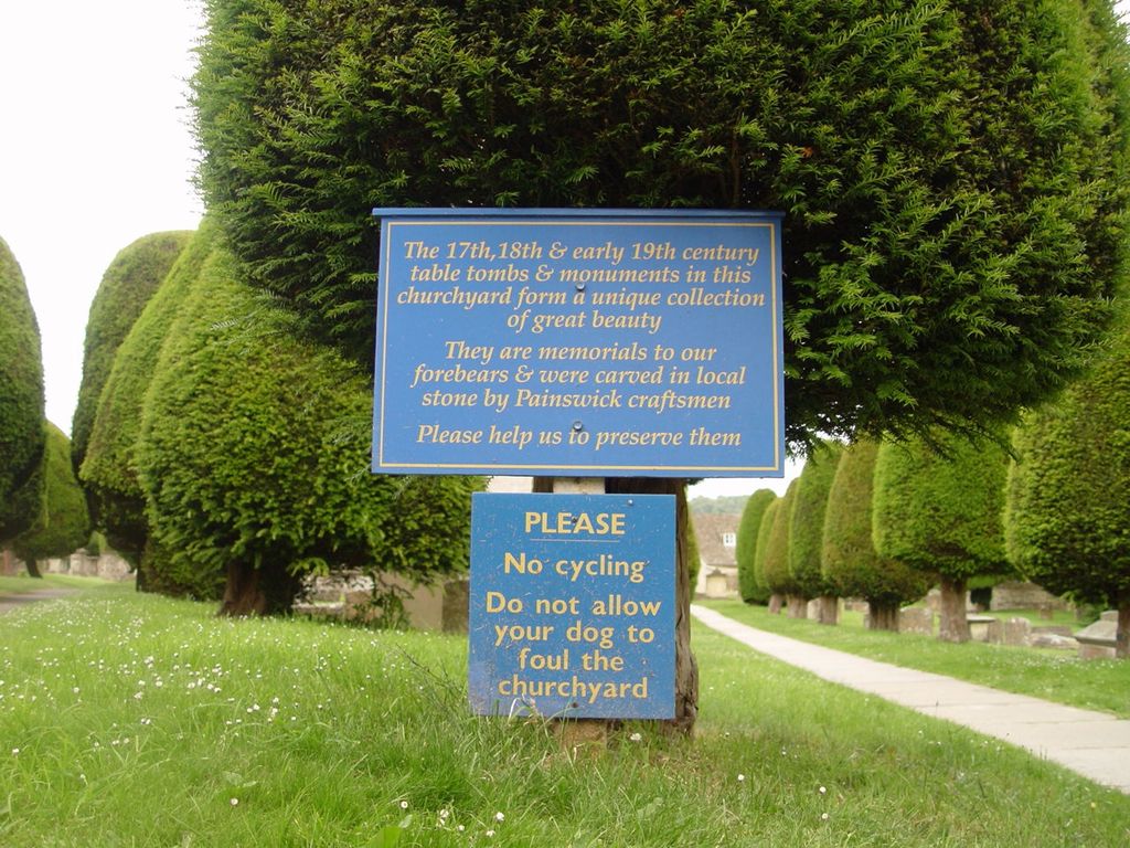
| Location | : | Painswick, Stroud District, England |
| Coordinate | : | 51.7852975, -2.1947224 |
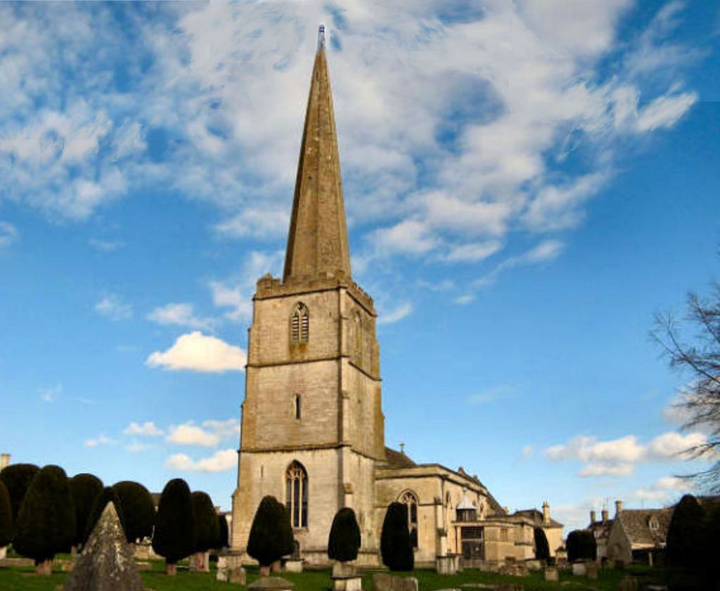
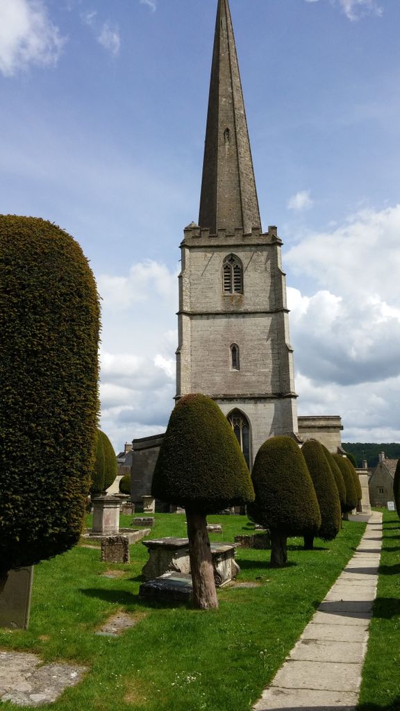
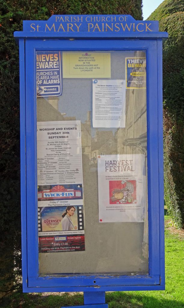
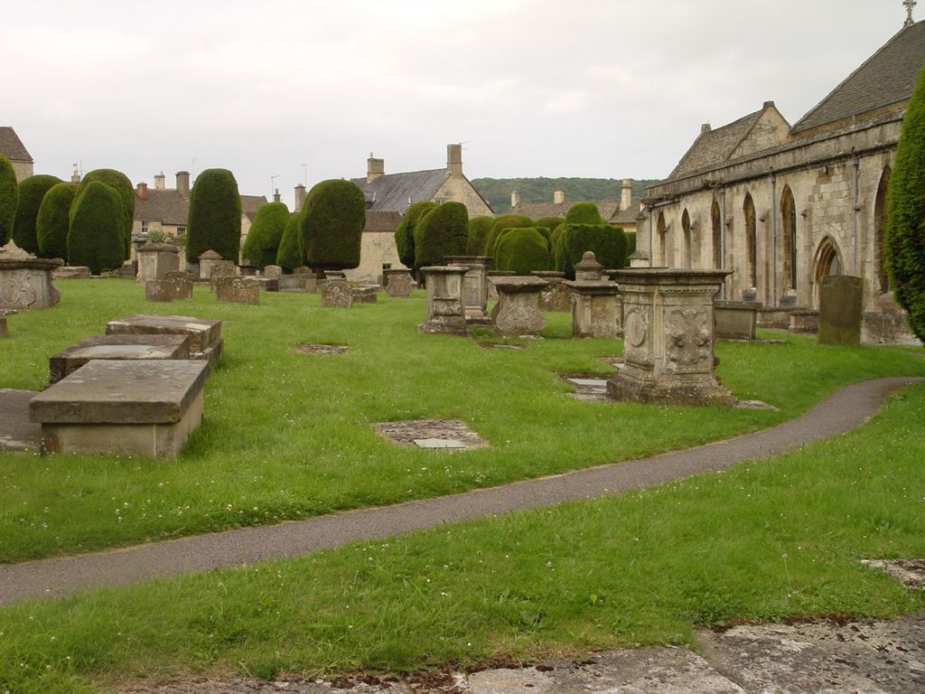
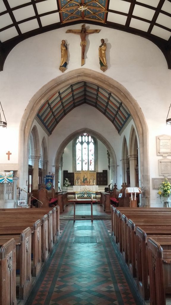
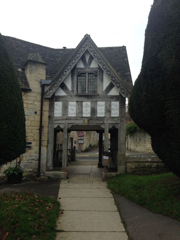
| Description | : | Saint Mary is a Church of England parish church. It is a Grade I listed building, which evidence suggests was built between 1042 and 1066 by Ernesi, a rich Anglo Saxon who was then Lord of the Manor. In 1377 after the Norman conquest, the chapel at the north side of the church was rebuilt; St. Peter being patron saint of the De Laci family who were Lords of the Manor at that time. The organ was originally built in the 18th century by Sneltzer, but has been mostly replaced by the present instrument; installed by Nicholson of Worcester. St.... Read More |
frequently asked questions (FAQ):
-
Where is St. Mary the Virgin Churchyard?
St. Mary the Virgin Churchyard is located at Painswick, Stroud District ,Gloucestershire ,England.
-
St. Mary the Virgin Churchyard cemetery's updated grave count on graveviews.com?
0 memorials
-
Where are the coordinates of the St. Mary the Virgin Churchyard?
Latitude: 51.7852975
Longitude: -2.1947224
Nearby Cemetories:
1. Painswick Cemetery
Painswick, Stroud District, England
Coordinate: 51.7971040, -2.1918690
2. St John the Baptist Churchyard
Pitchcombe, Stroud District, England
Coordinate: 51.7727590, -2.2166790
3. Holy Trinity Churchyard
Slad, Stroud District, England
Coordinate: 51.7647770, -2.1866550
4. St. John the Apostle Churchyard
Sheepscombe, Stroud District, England
Coordinate: 51.7894990, -2.1582430
5. St John the Baptist Churchyard
Harescombe, Stroud District, England
Coordinate: 51.7921570, -2.2373260
6. St. James the Great Churchyard
Cranham, Stroud District, England
Coordinate: 51.8102797, -2.1596329
7. St Paul Churchyard
Whiteshill, Stroud District, England
Coordinate: 51.7597750, -2.2321540
8. St. Swithun Churchyard
Brookthorpe, Stroud District, England
Coordinate: 51.8087500, -2.2402900
9. Prinknash Abbey
Cranham, Stroud District, England
Coordinate: 51.8225000, -2.1761110
10. St. Laurence Churchyard
Stroud, Stroud District, England
Coordinate: 51.7459470, -2.2153950
11. Stroud Hill Cemetery
Stroud, Stroud District, England
Coordinate: 51.7415670, -2.2002660
12. St. John the Baptist Churchyard
Randwick, Stroud District, England
Coordinate: 51.7587400, -2.2514000
13. St Margaret Church
Whaddon, Stroud District, England
Coordinate: 51.8214600, -2.2433000
14. All Saints Churchyard
Bisley, Stroud District, England
Coordinate: 51.7520580, -2.1409380
15. Bisley Burial Ground
Bisley, Stroud District, England
Coordinate: 51.7493640, -2.1389080
16. St. Peter's Churchyard
Haresfield, Stroud District, England
Coordinate: 51.7921323, -2.2767870
17. St. Mary Magdalene Churchyard
Rodborough, Stroud District, England
Coordinate: 51.7384180, -2.2284060
18. Eastcombe Baptist Churchyard
Eastcombe, Stroud District, England
Coordinate: 51.7378009, -2.1606789
19. Stroud Old Cemetery
Stroud, Stroud District, England
Coordinate: 51.7337658, -2.2094599
20. Saint Matthews Churchyard
Cainscross, Stroud District, England
Coordinate: 51.7430640, -2.2469780
21. Rodborough Tabernacle
Rodborough, Stroud District, England
Coordinate: 51.7345300, -2.2245700
22. St. Michael's and All Angels Churchyard
Bisley, Stroud District, England
Coordinate: 51.7301150, -2.1715900
23. Saint Michael and All Angels Churchyard
Brimpsfield, Cotswold District, England
Coordinate: 51.8000000, -2.1000000
24. Church of St. Mary
Great Witcombe, Tewkesbury Borough, England
Coordinate: 51.8316950, -2.1311090