
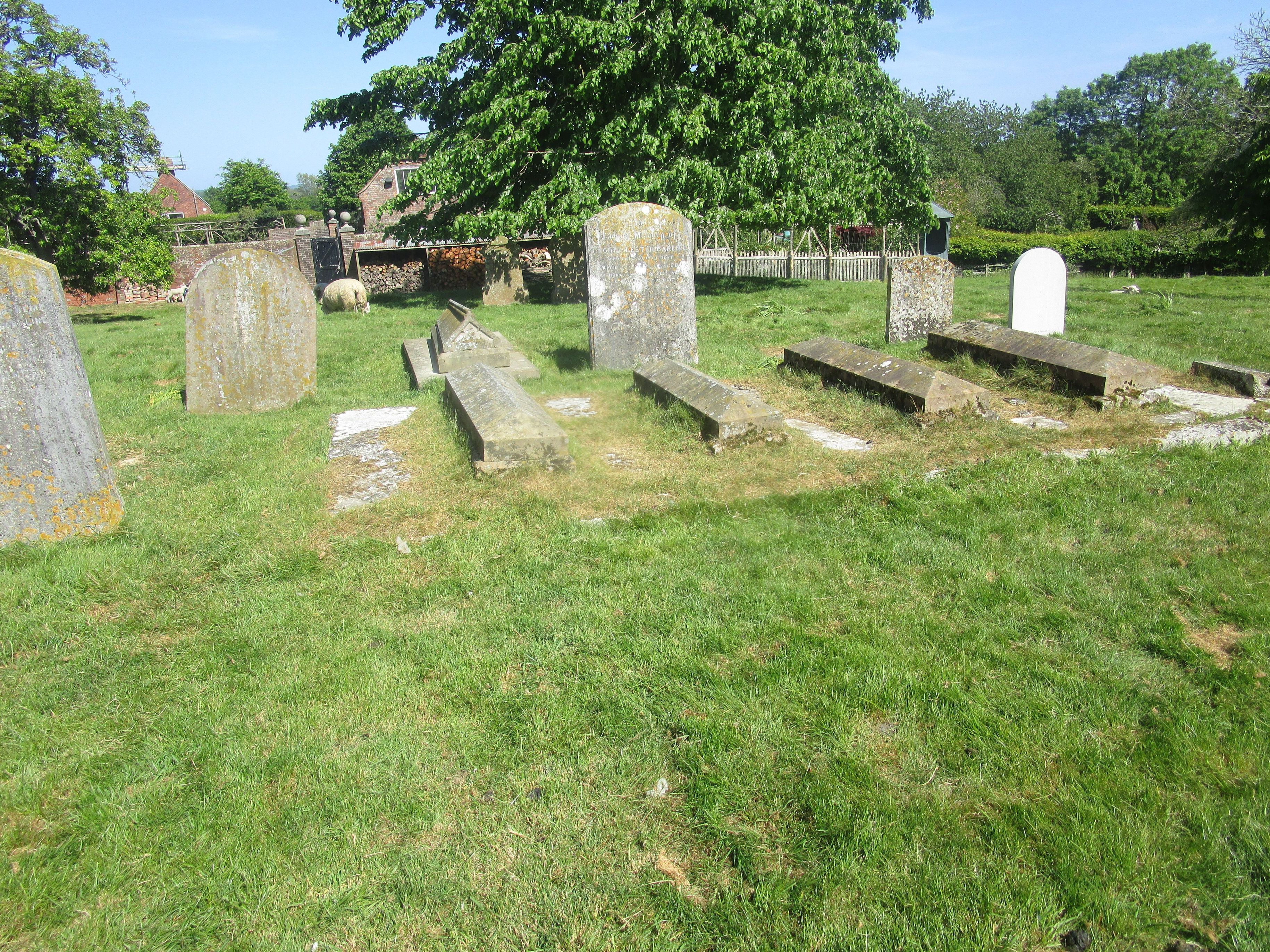
| Memorials | : | 269 |
| Location | : | Warehorne, Ashford Borough, England |
| Coordinate | : | 51.0575460, 0.8375700 |
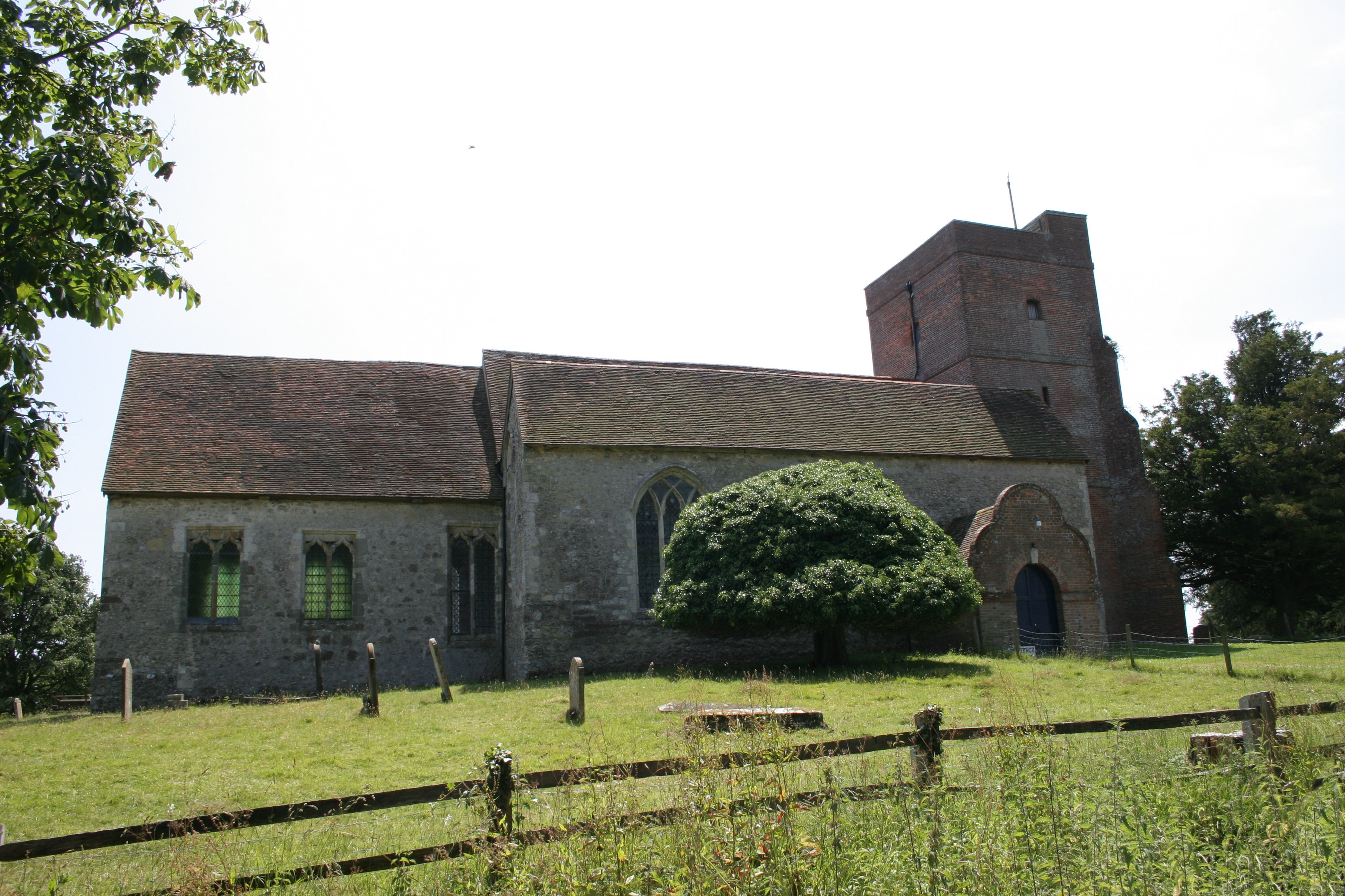
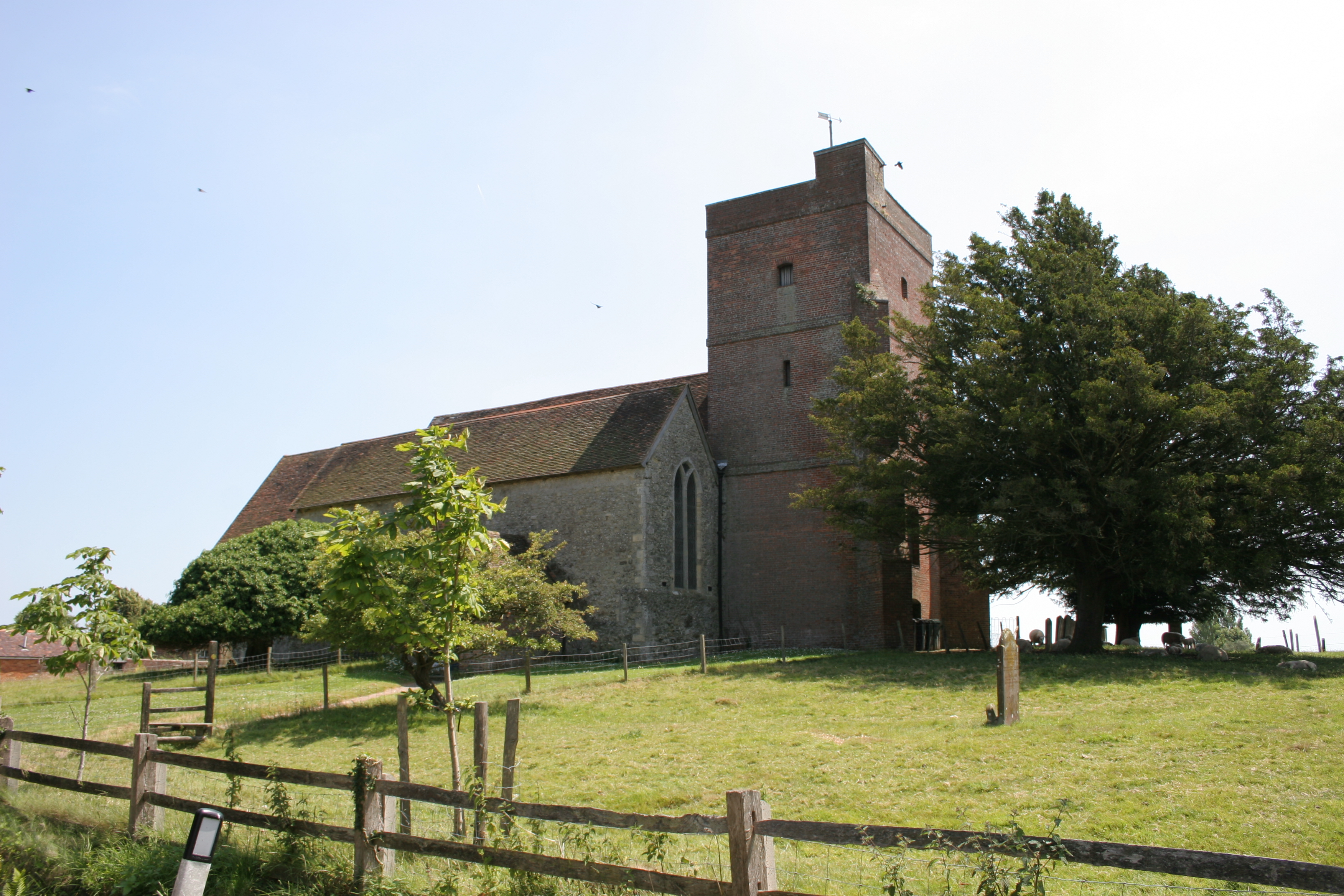
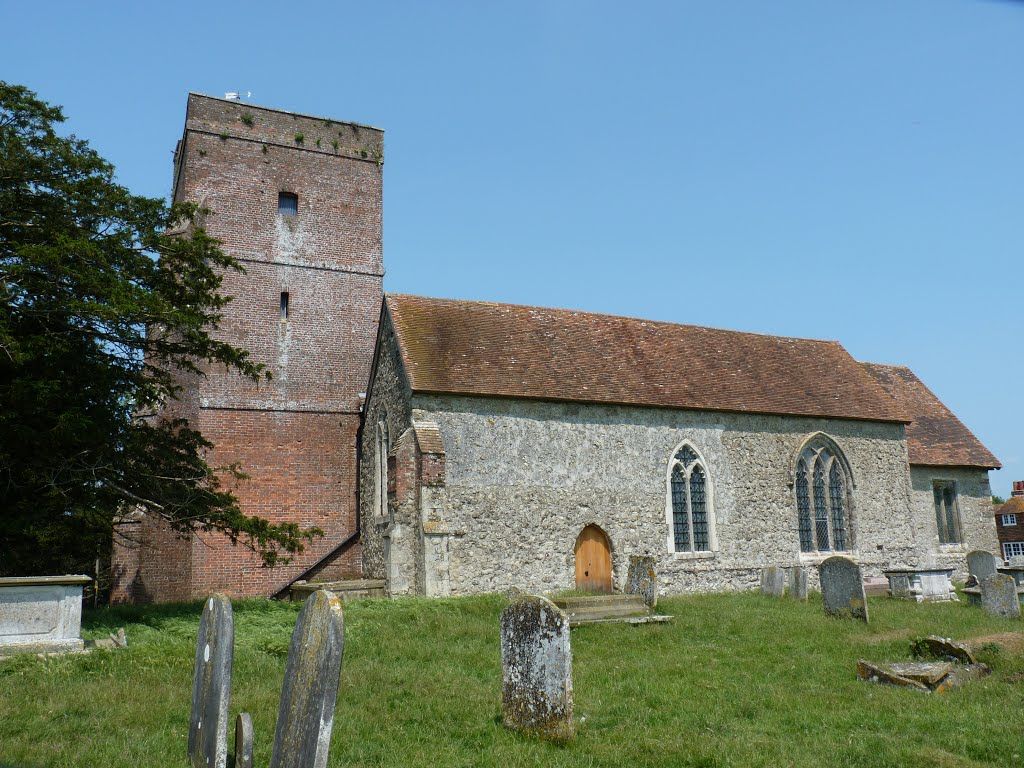
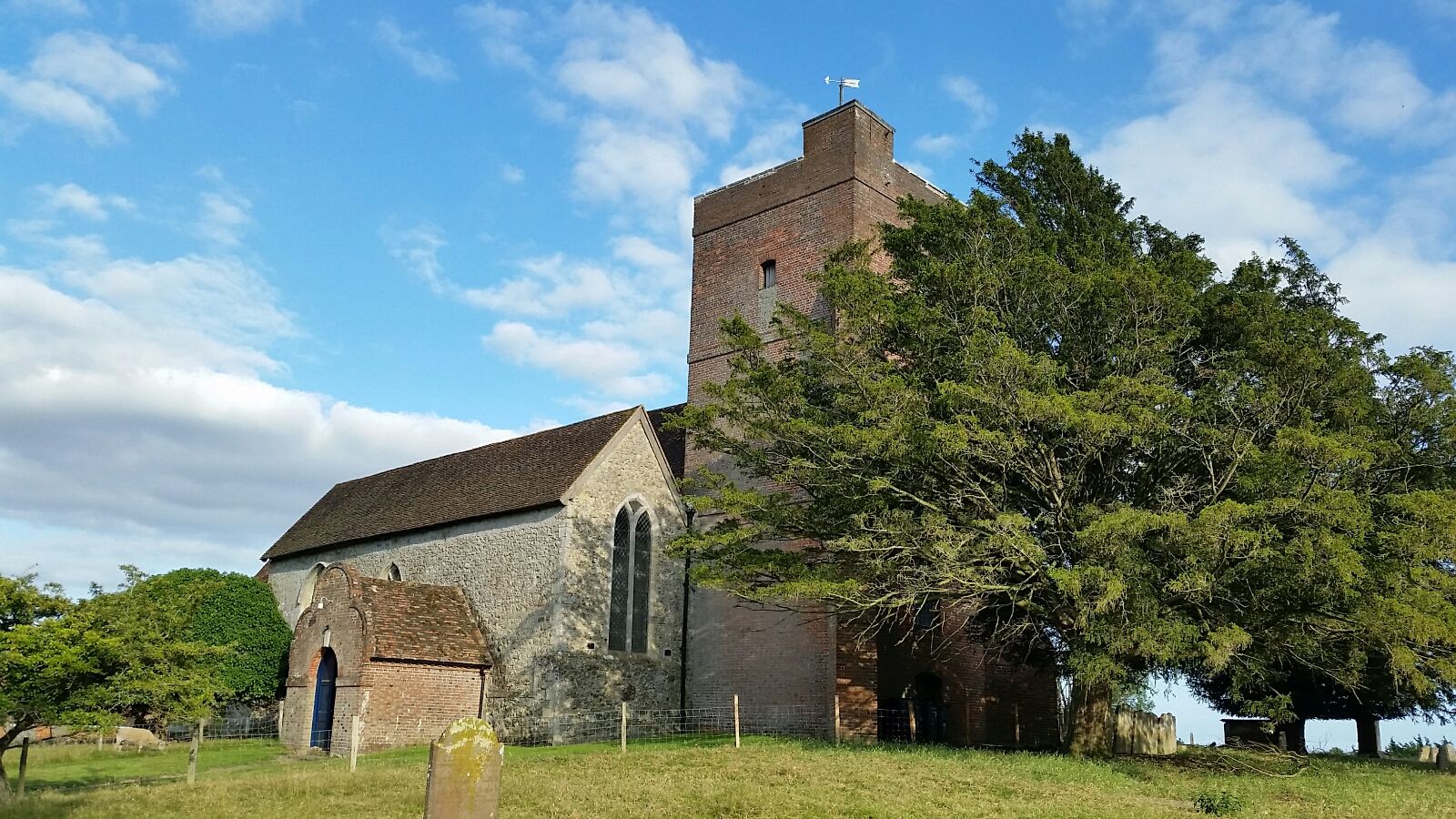
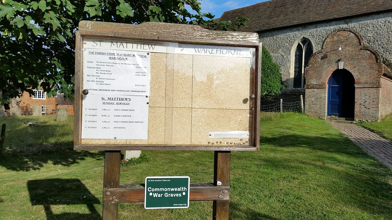
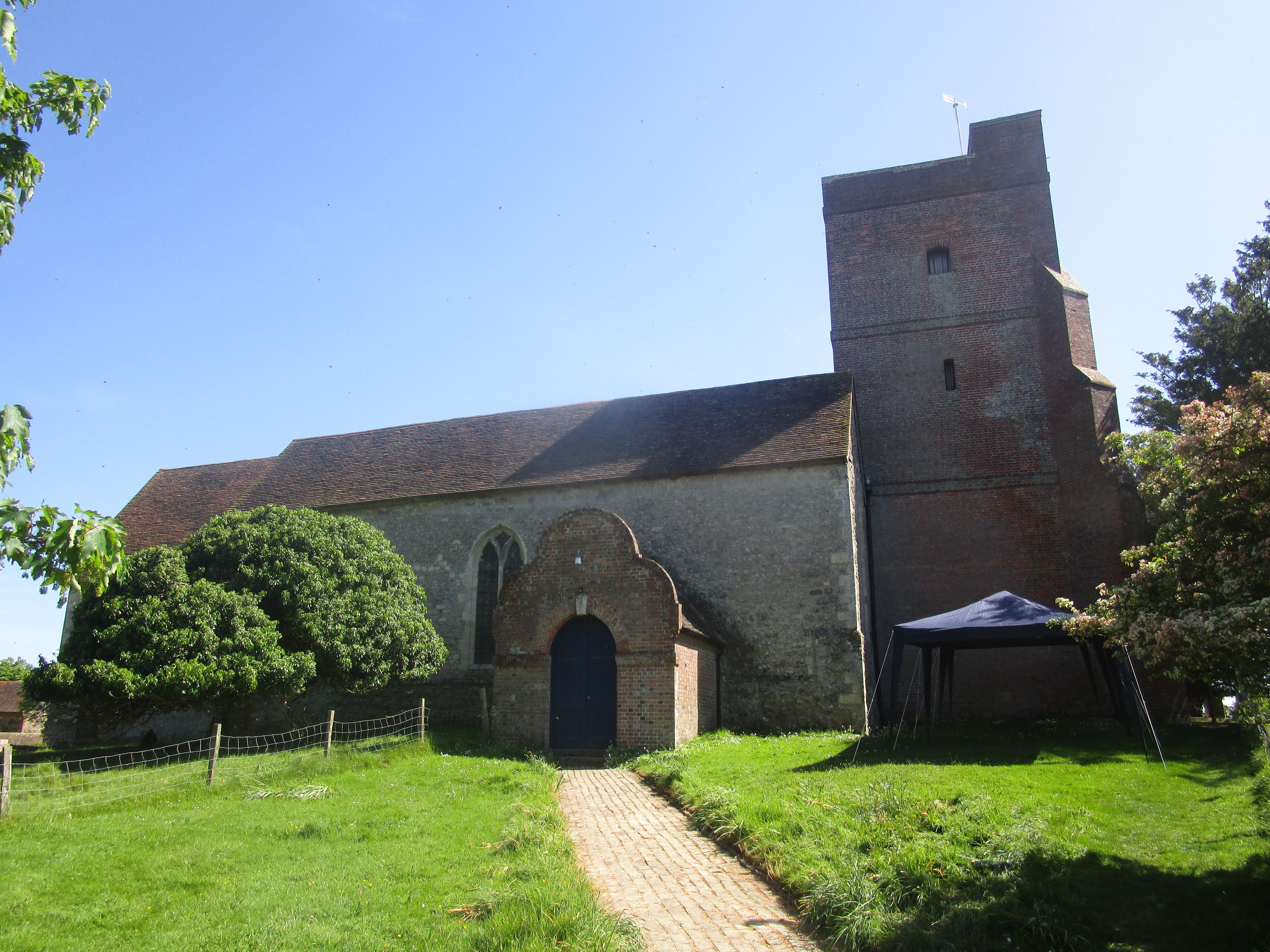
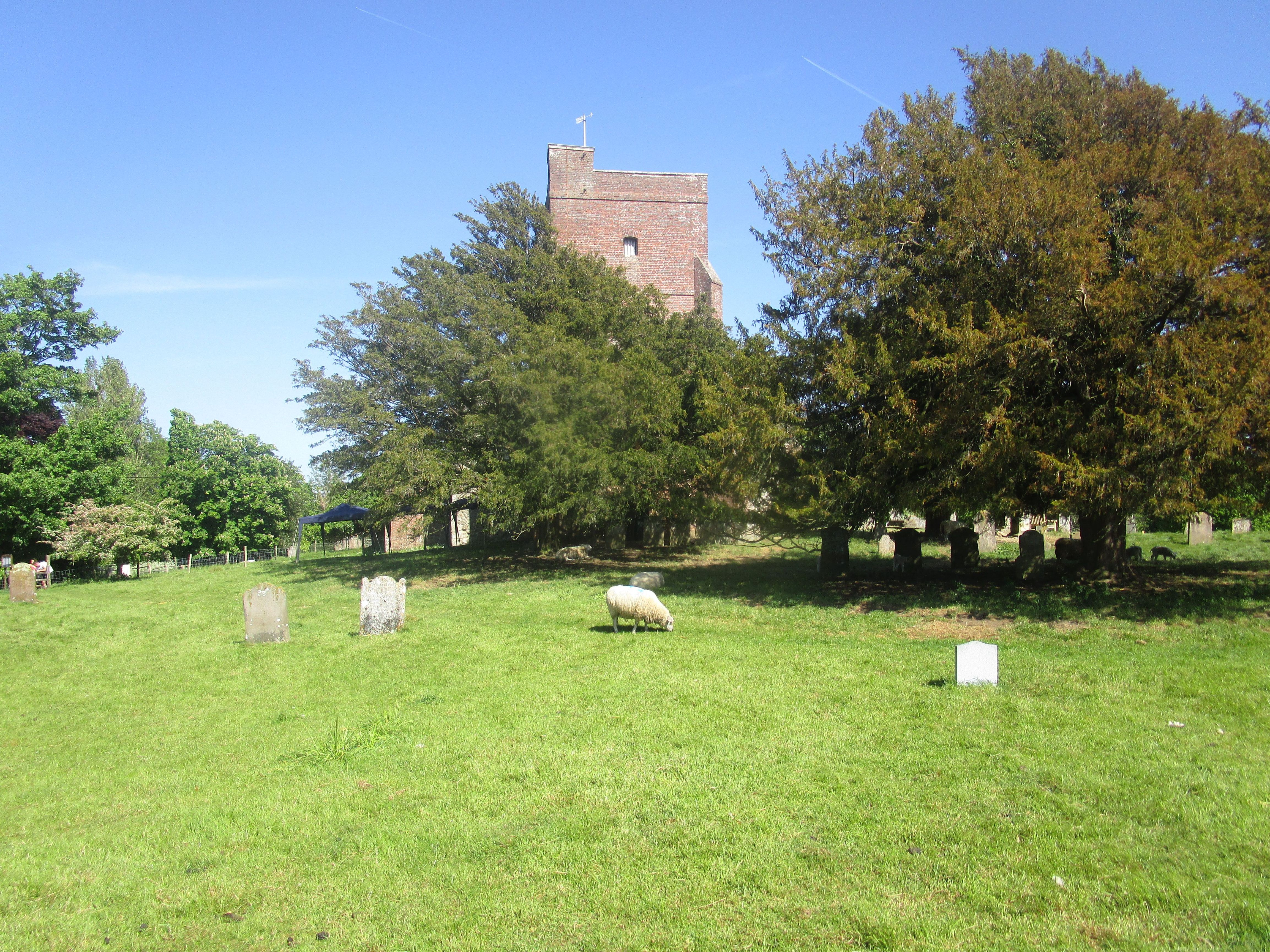
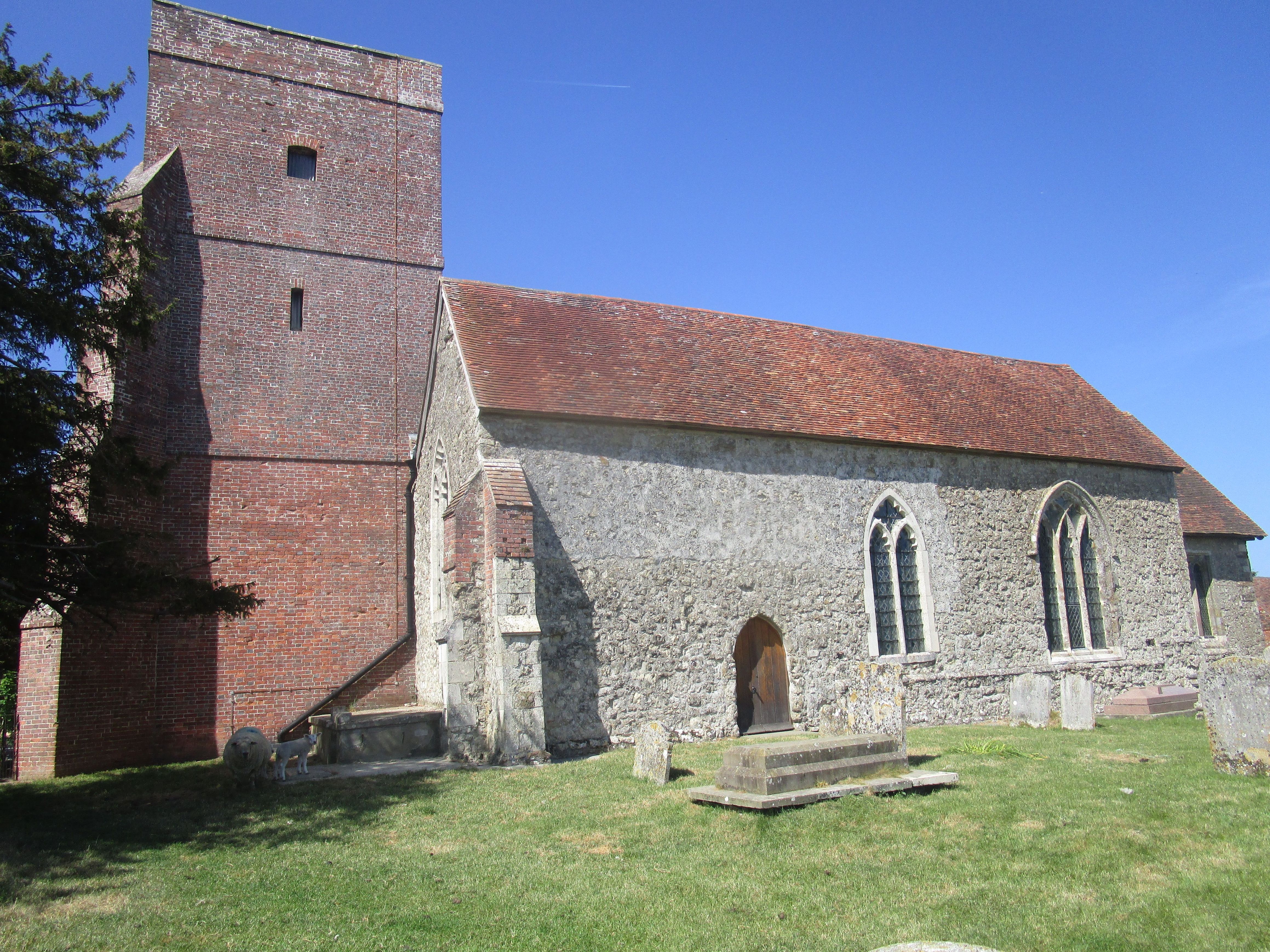
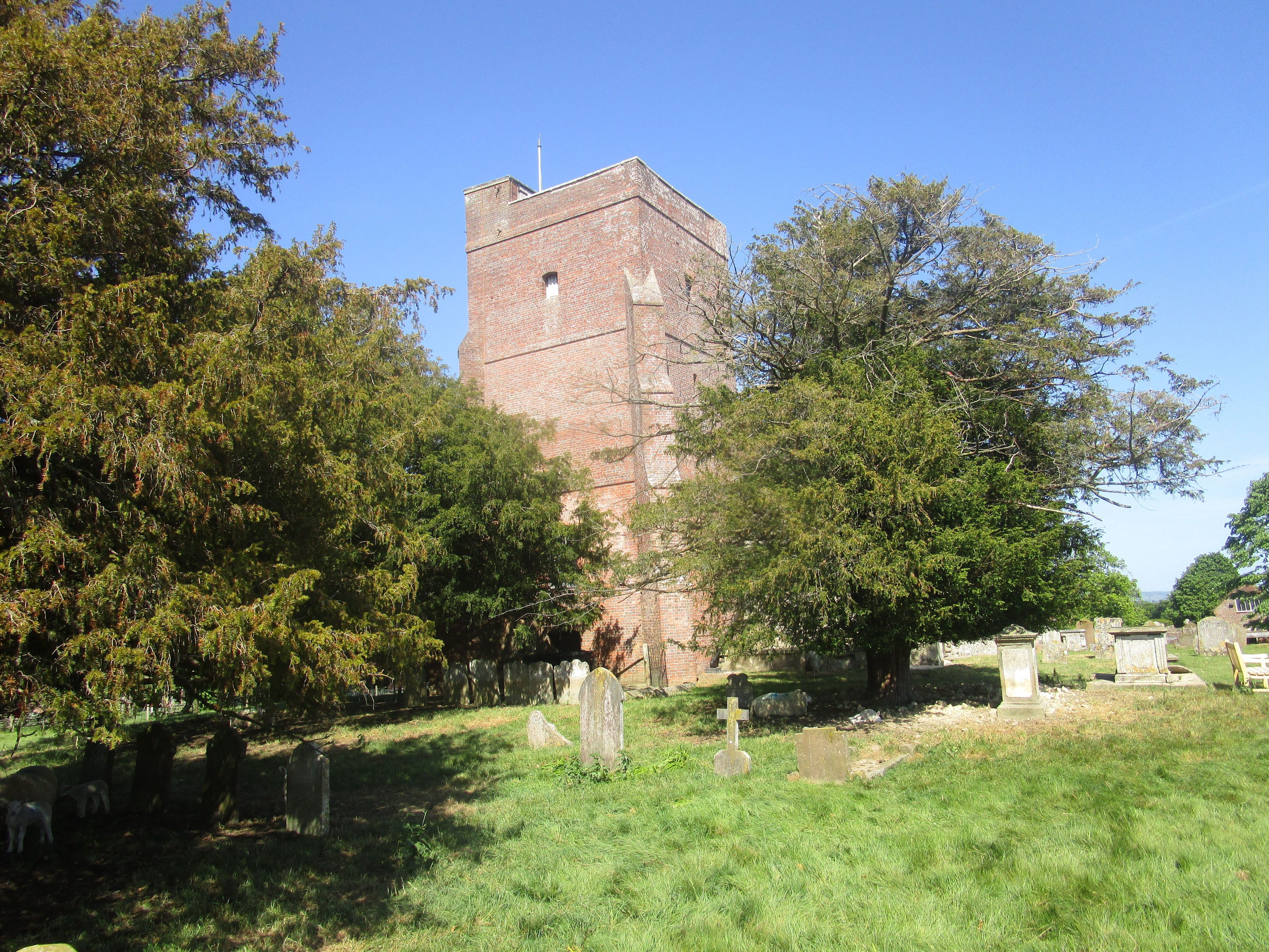
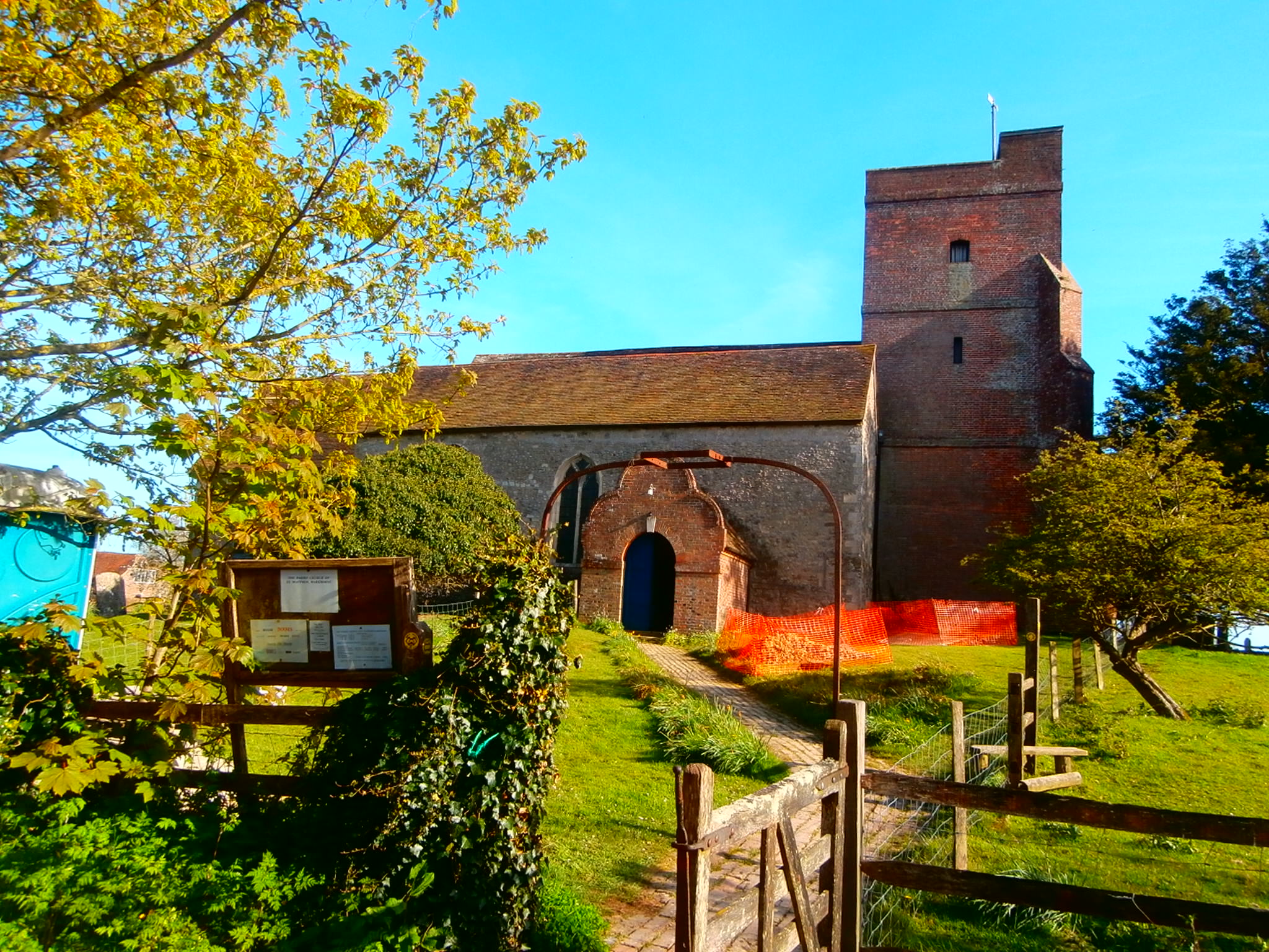
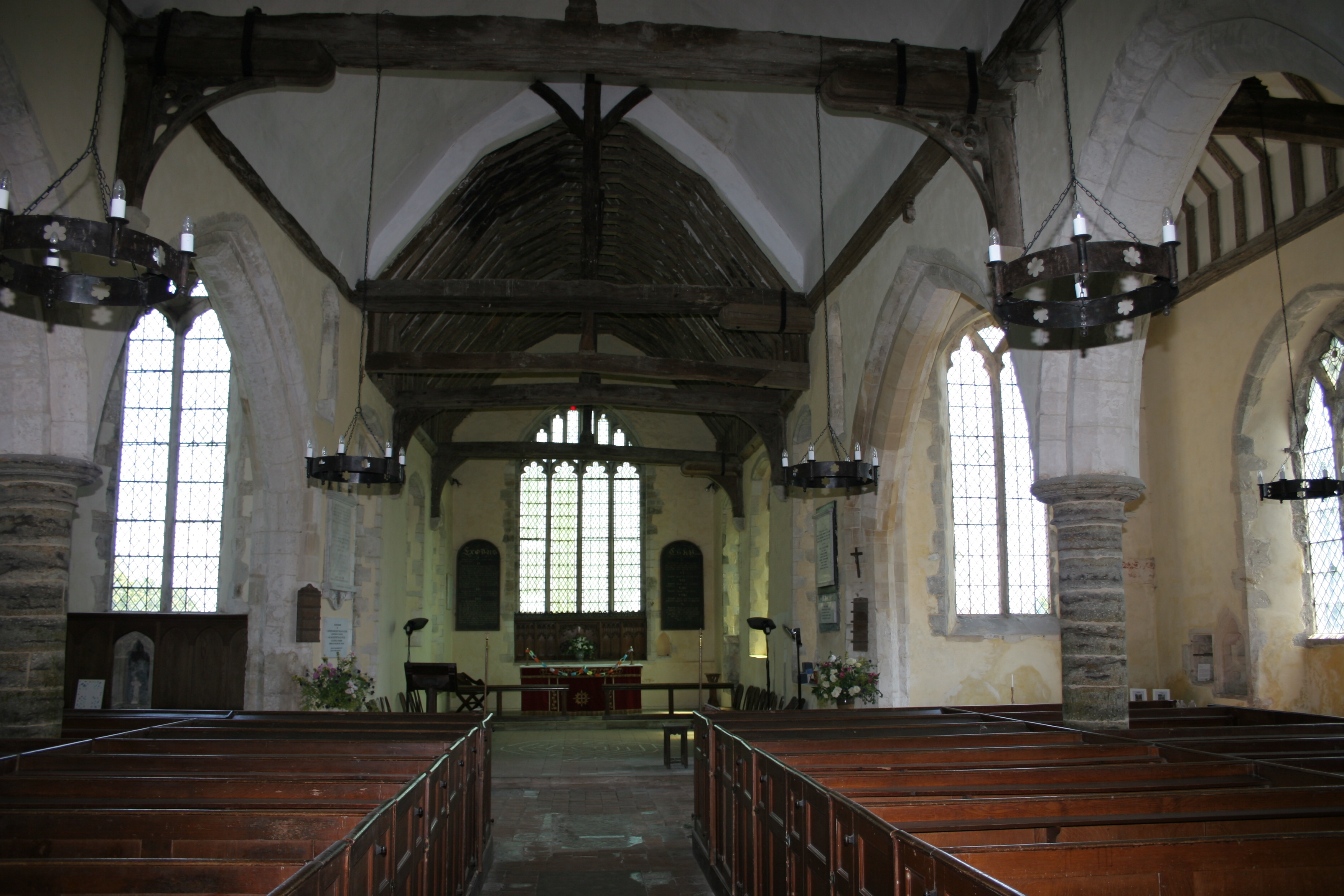
| Description | : | St Matthew, parish church of Warehorne is located on a hill edge which overlooks the Romney Marsh. The north porch is of Flemish design, the church consisting of a tower to the west, a nave, north & south aisle and a chancel to the east. Box pews fill the church with the oldest part dating from around 1200 with the aisles and chancel dating from the 14th century. The red stone tower was completed sometime in the mid-15th century. ~ 1414Jan ~ |
frequently asked questions (FAQ):
-
Where is St. Matthew Churchyard?
St. Matthew Churchyard is located at Church Road Warehorne, Ashford Borough ,Kent , TN26 2LJEngland.
-
St. Matthew Churchyard cemetery's updated grave count on graveviews.com?
269 memorials
-
Where are the coordinates of the St. Matthew Churchyard?
Latitude: 51.0575460
Longitude: 0.8375700
Nearby Cemetories:
1. St Mary's Churchyard
Kenardington, Ashford Borough, England
Coordinate: 51.0546000, 0.8164000
2. St Mary the Virgin Churchyard
Orlestone, Ashford Borough, England
Coordinate: 51.0767000, 0.8539000
3. St Augustine Church
Snave, Ashford Borough, England
Coordinate: 51.0334570, 0.8710390
4. St. Mary Magdalene Churchyard
Ruckinge, Ashford Borough, England
Coordinate: 51.0654060, 0.8883300
5. St. Dunstan Churchyard
Snargate, Shepway District, England
Coordinate: 51.0227100, 0.8371750
6. St Peter and St Paul Churchyard
Appledore, Ashford Borough, England
Coordinate: 51.0295660, 0.7903990
7. St Enswith's Church
Brenzett, Shepway District, England
Coordinate: 51.0138510, 0.8573170
8. Brenzett Cemetery
Brenzett, Shepway District, England
Coordinate: 51.0130800, 0.8561300
9. All Saints Churchyard
Woodchurch, Ashford Borough, England
Coordinate: 51.0807110, 0.7709980
10. Ss Peter & Paul Churchyard
Shadoxhurst, Ashford Borough, England
Coordinate: 51.1044850, 0.8144740
11. St. Peter and St. Paul's Churchyard
Bilsington, Ashford Borough, England
Coordinate: 51.0713940, 0.9136430
12. St George's Church
Ivychurch, Shepway District, England
Coordinate: 51.0124590, 0.8895980
13. Church of St. Peter & St. Paul
Newchurch, Shepway District, England
Coordinate: 51.0438640, 0.9272210
14. St. Thomas à Becket Cemetery
Fairfield, Shepway District, England
Coordinate: 51.0043210, 0.7993930
15. St Augustine Church
Brookland, Shepway District, England
Coordinate: 50.9973880, 0.8337460
16. St. Mary the Virgin Churchyard
Reading Street, Ashford Borough, England
Coordinate: 51.0431442, 0.7400970
17. St. Rumwold Churchyard
Bonnington, Ashford Borough, England
Coordinate: 51.0722680, 0.9350370
18. Ebony Old Cemetery
Stone-cum-Ebony, Ashford Borough, England
Coordinate: 51.0378926, 0.7422129
19. St Mary the Virgin Churchyard
Stone-cum-Ebony, Ashford Borough, England
Coordinate: 51.0127980, 0.7645592
20. St Clement Churchyard
Old Romney, Shepway District, England
Coordinate: 50.9901390, 0.8981780
21. St Mary the Virgin Churchyard
St Mary in the Marsh, Shepway District, England
Coordinate: 51.0141390, 0.9423380
22. Saint Martin's Churchyard
Aldington, Ashford Borough, England
Coordinate: 51.0874330, 0.9615520
23. St. John The Baptist Churchyard
Mersham, Ashford Borough, England
Coordinate: 51.1168720, 0.9312840
24. St. Mary the Virgin Churchyard
Great Chart, Ashford Borough, England
Coordinate: 51.1422350, 0.8285800