
| Memorials | : | 133 |
| Location | : | Snargate, Shepway District, England |
| Coordinate | : | 51.0227100, 0.8371750 |
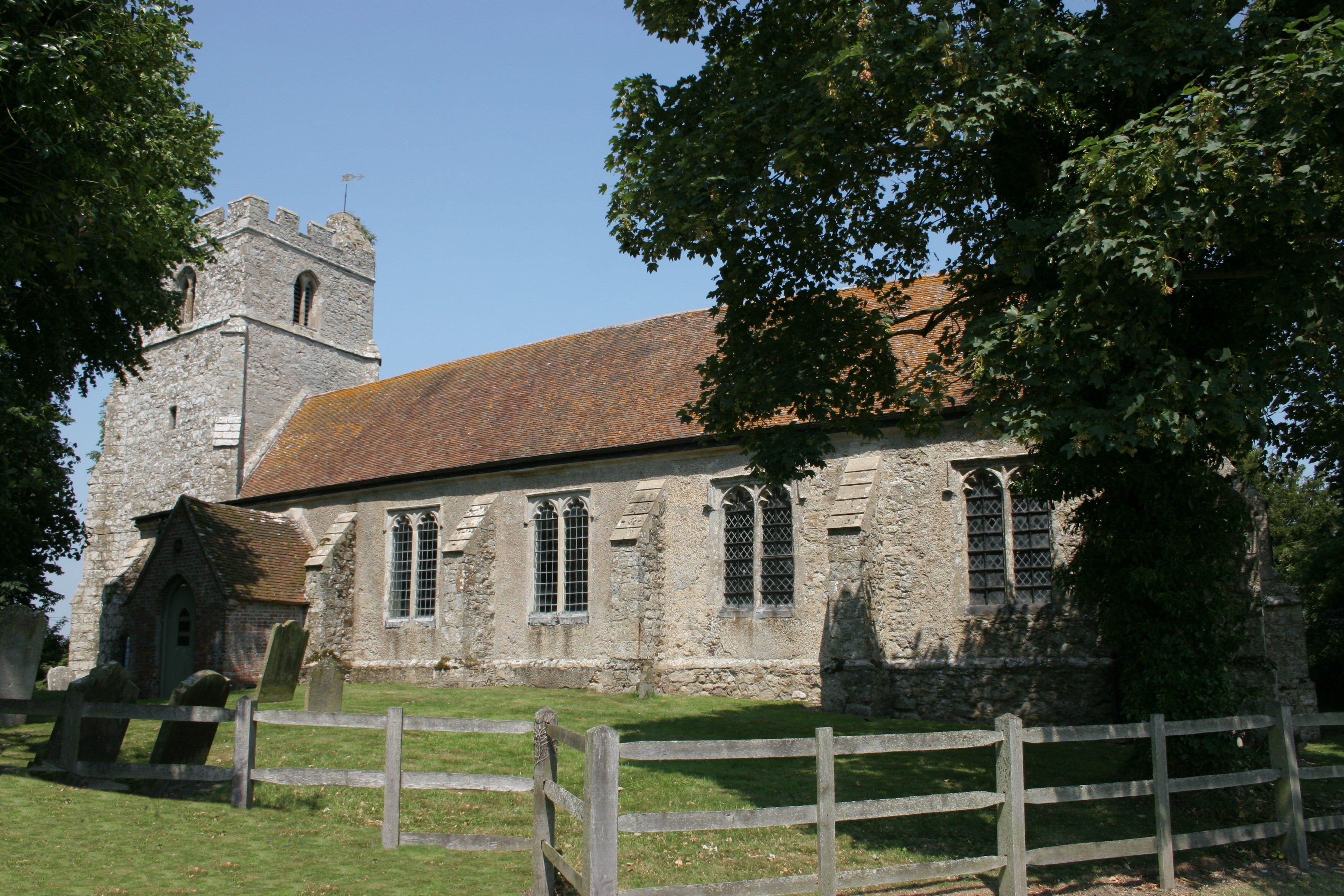
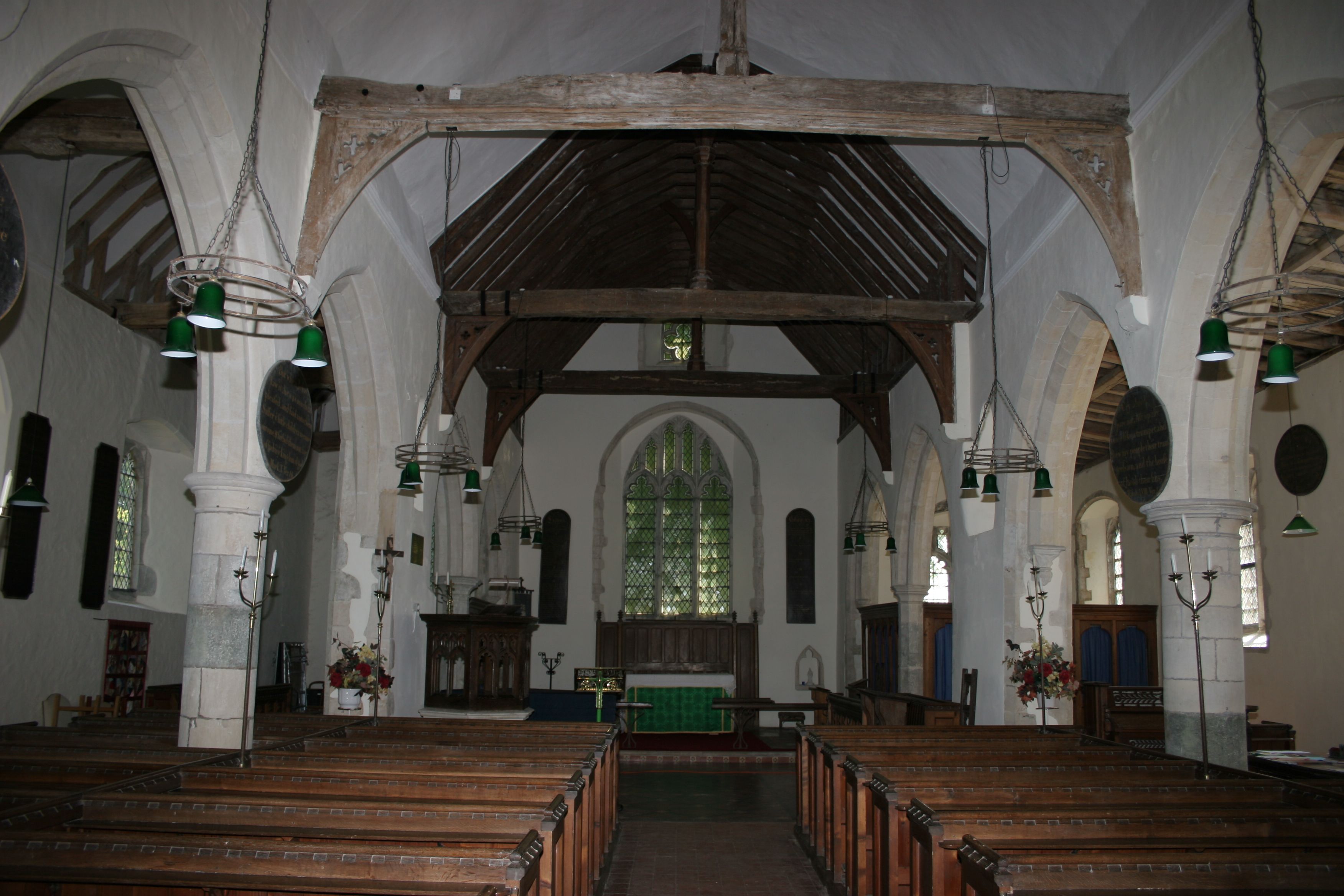
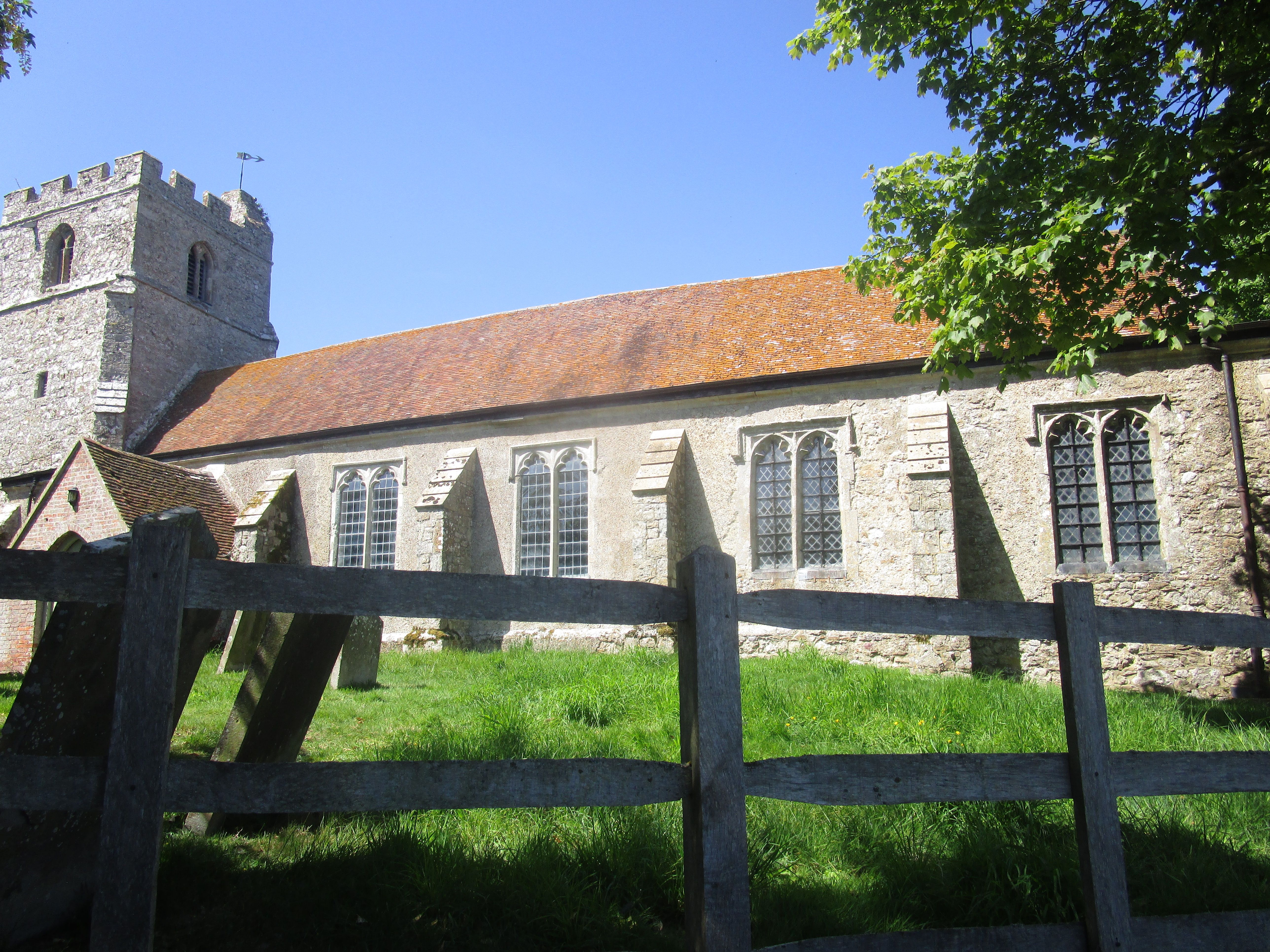
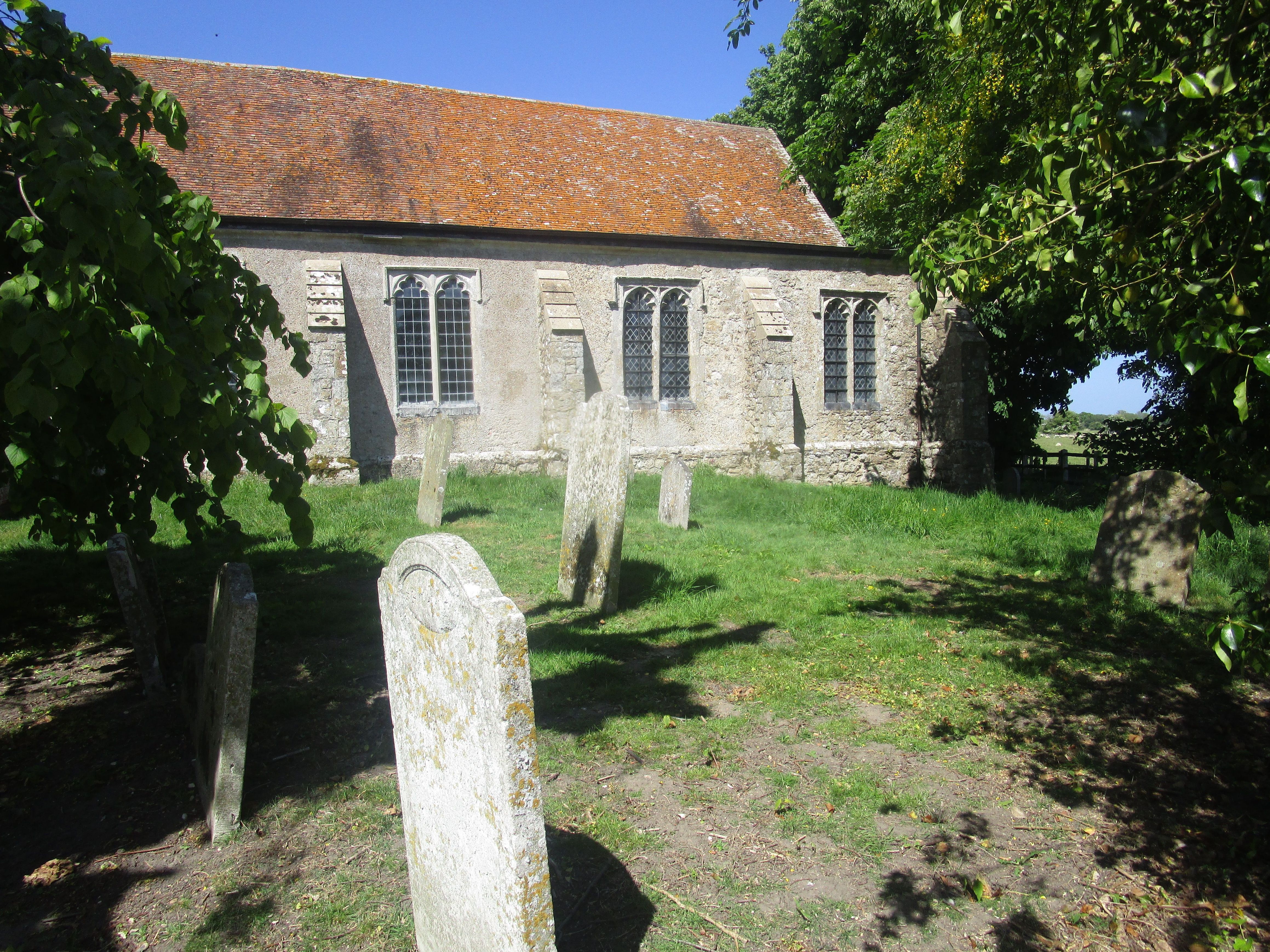
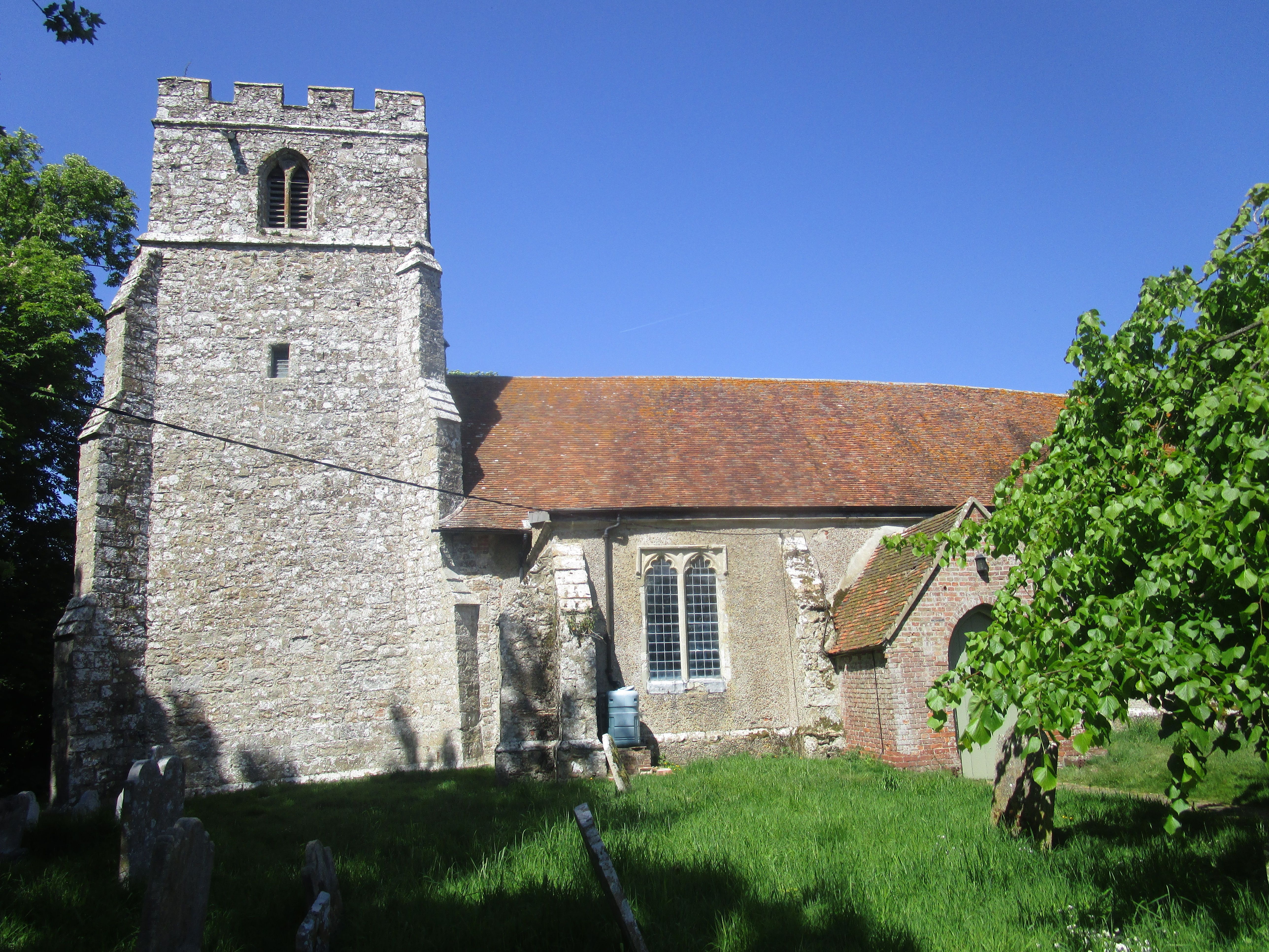
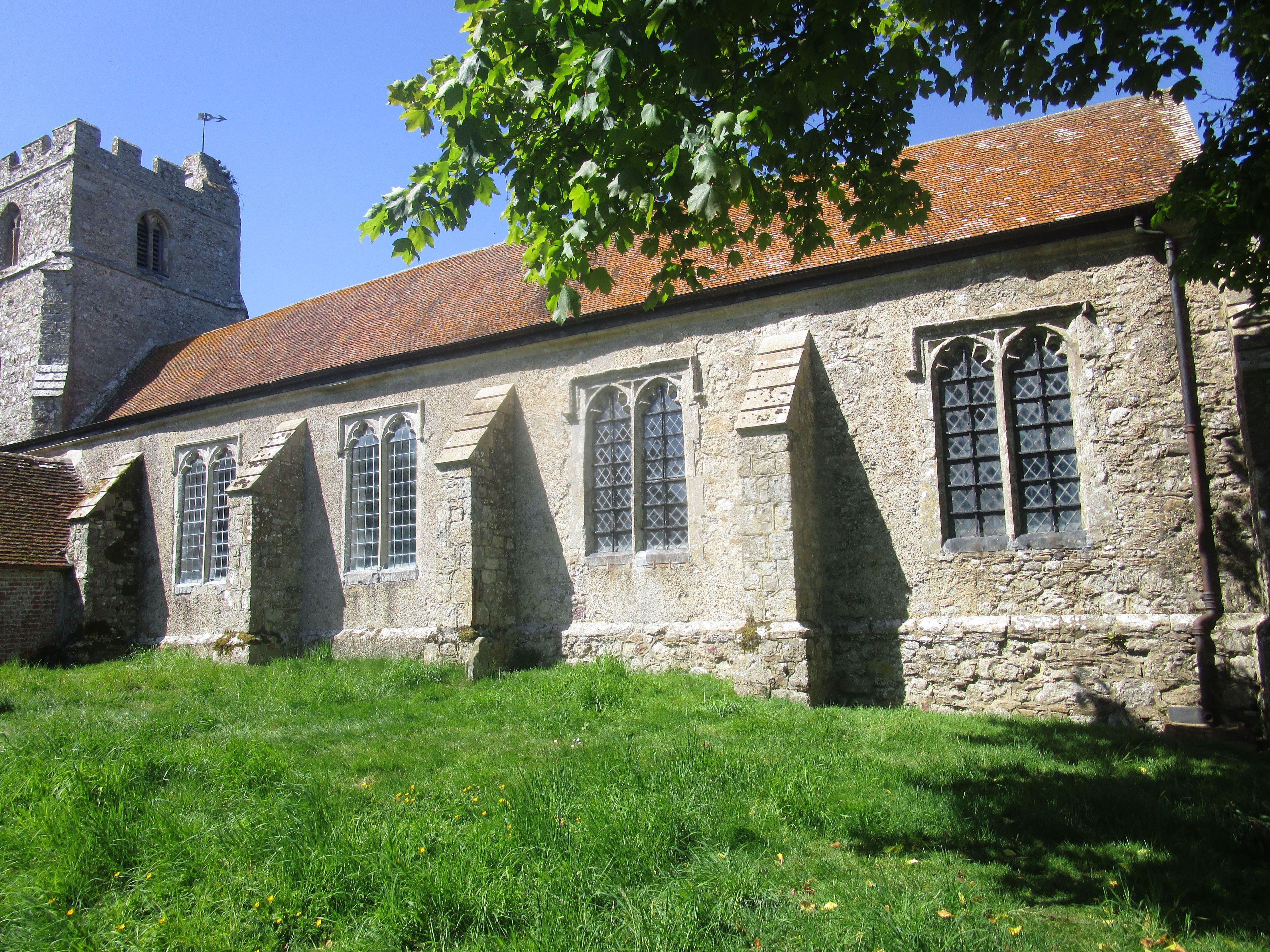
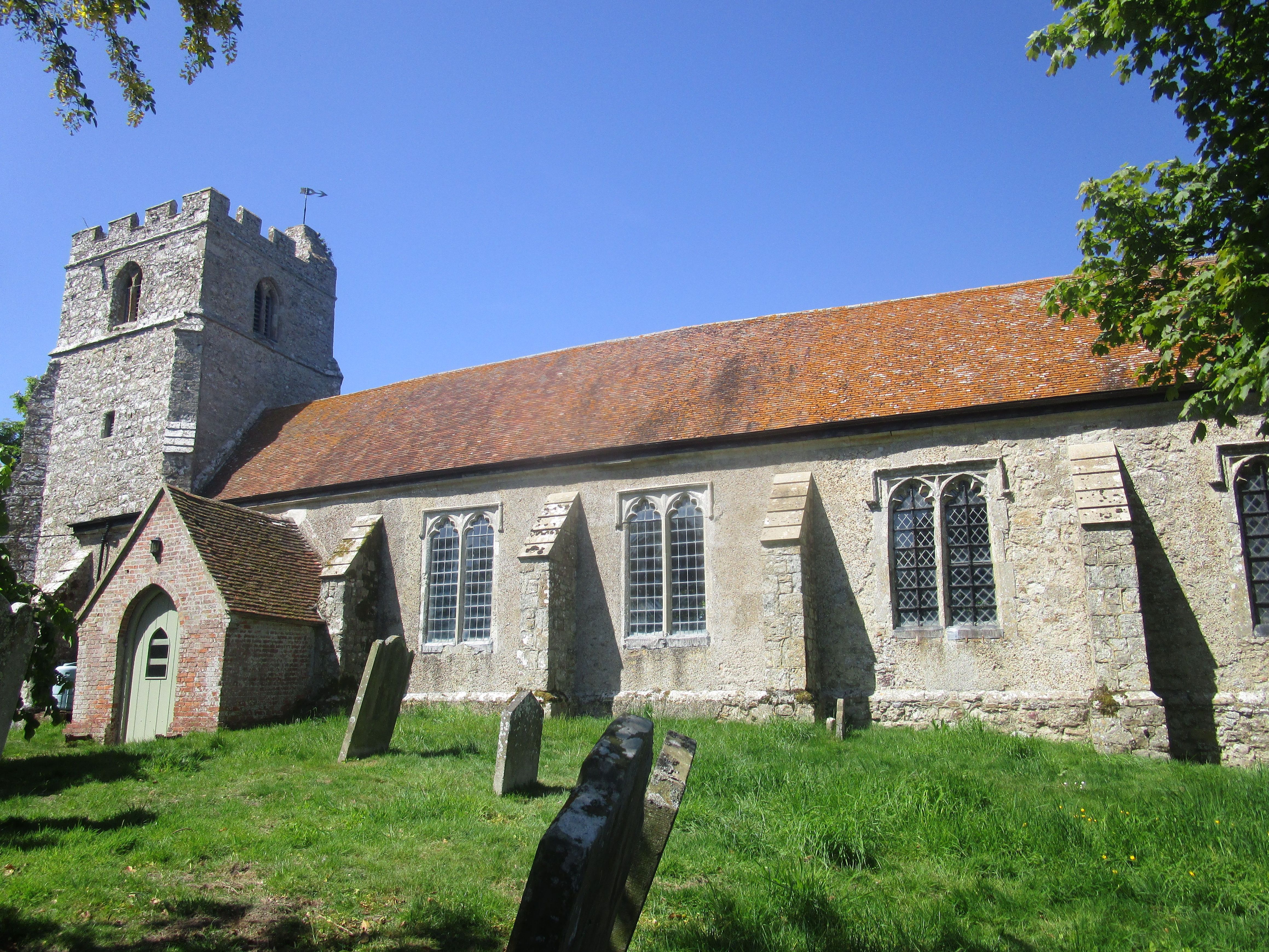
| Description | : | St Dunstan was built circa 1200 and sits on an artificial mound amongst the trees. The church has a chancel, nave and a north and south aisle, with a porch to the south and a tower, all buttressed. Owing to its rather remote location it was one of the many mediaeval churches on the Romney Marsh involved with smugglers who found these churches prime locations for storing their purloined goods before distribution. Local legend has it that if a church painted a ship opposite its main door on the north wall, it would serve as a signal to all that the... Read More |
frequently asked questions (FAQ):
-
Where is St. Dunstan Churchyard?
St. Dunstan Churchyard is located at Snargate, Shepway District ,Kent , TN29 0EWEngland.
-
St. Dunstan Churchyard cemetery's updated grave count on graveviews.com?
133 memorials
-
Where are the coordinates of the St. Dunstan Churchyard?
Latitude: 51.0227100
Longitude: 0.8371750
Nearby Cemetories:
1. Brenzett Cemetery
Brenzett, Shepway District, England
Coordinate: 51.0130800, 0.8561300
2. St Enswith's Church
Brenzett, Shepway District, England
Coordinate: 51.0138510, 0.8573170
3. St Augustine Church
Snave, Ashford Borough, England
Coordinate: 51.0334570, 0.8710390
4. St Augustine Church
Brookland, Shepway District, England
Coordinate: 50.9973880, 0.8337460
5. St. Thomas à Becket Cemetery
Fairfield, Shepway District, England
Coordinate: 51.0043210, 0.7993930
6. St Peter and St Paul Churchyard
Appledore, Ashford Borough, England
Coordinate: 51.0295660, 0.7903990
7. St Mary's Churchyard
Kenardington, Ashford Borough, England
Coordinate: 51.0546000, 0.8164000
8. St George's Church
Ivychurch, Shepway District, England
Coordinate: 51.0124590, 0.8895980
9. St. Matthew Churchyard
Warehorne, Ashford Borough, England
Coordinate: 51.0575460, 0.8375700
10. St Mary the Virgin Churchyard
Stone-cum-Ebony, Ashford Borough, England
Coordinate: 51.0127980, 0.7645592
11. St Clement Churchyard
Old Romney, Shepway District, England
Coordinate: 50.9901390, 0.8981780
12. St. Mary Magdalene Churchyard
Ruckinge, Ashford Borough, England
Coordinate: 51.0654060, 0.8883300
13. St Mary the Virgin Churchyard
Orlestone, Ashford Borough, England
Coordinate: 51.0767000, 0.8539000
14. Church of St. Peter & St. Paul
Newchurch, Shepway District, England
Coordinate: 51.0438640, 0.9272210
15. Ebony Old Cemetery
Stone-cum-Ebony, Ashford Borough, England
Coordinate: 51.0378926, 0.7422129
16. St. Mary the Virgin Churchyard
Reading Street, Ashford Borough, England
Coordinate: 51.0431442, 0.7400970
17. St Mary the Virgin Churchyard
St Mary in the Marsh, Shepway District, England
Coordinate: 51.0141390, 0.9423380
18. St. Peter and St. Paul's Churchyard
Bilsington, Ashford Borough, England
Coordinate: 51.0713940, 0.9136430
19. All Saints Churchyard
Woodchurch, Ashford Borough, England
Coordinate: 51.0807110, 0.7709980
20. New Romney Cemetery
New Romney, Shepway District, England
Coordinate: 50.9843600, 0.9388800
21. Burma Campaign Memorial
New Romney, Shepway District, England
Coordinate: 50.9851600, 0.9404470
22. St Nicholas Churchyard
New Romney, Shepway District, England
Coordinate: 50.9850930, 0.9411740
23. St. Rumwold Churchyard
Bonnington, Ashford Borough, England
Coordinate: 51.0722680, 0.9350370
24. All Saints Churchyard
Iden, Rother District, England
Coordinate: 50.9812930, 0.7275500