
| Memorials | : | 6 |
| Location | : | Eaton, Carroll County, USA |
| Coordinate | : | 43.8825600, -71.0159200 |
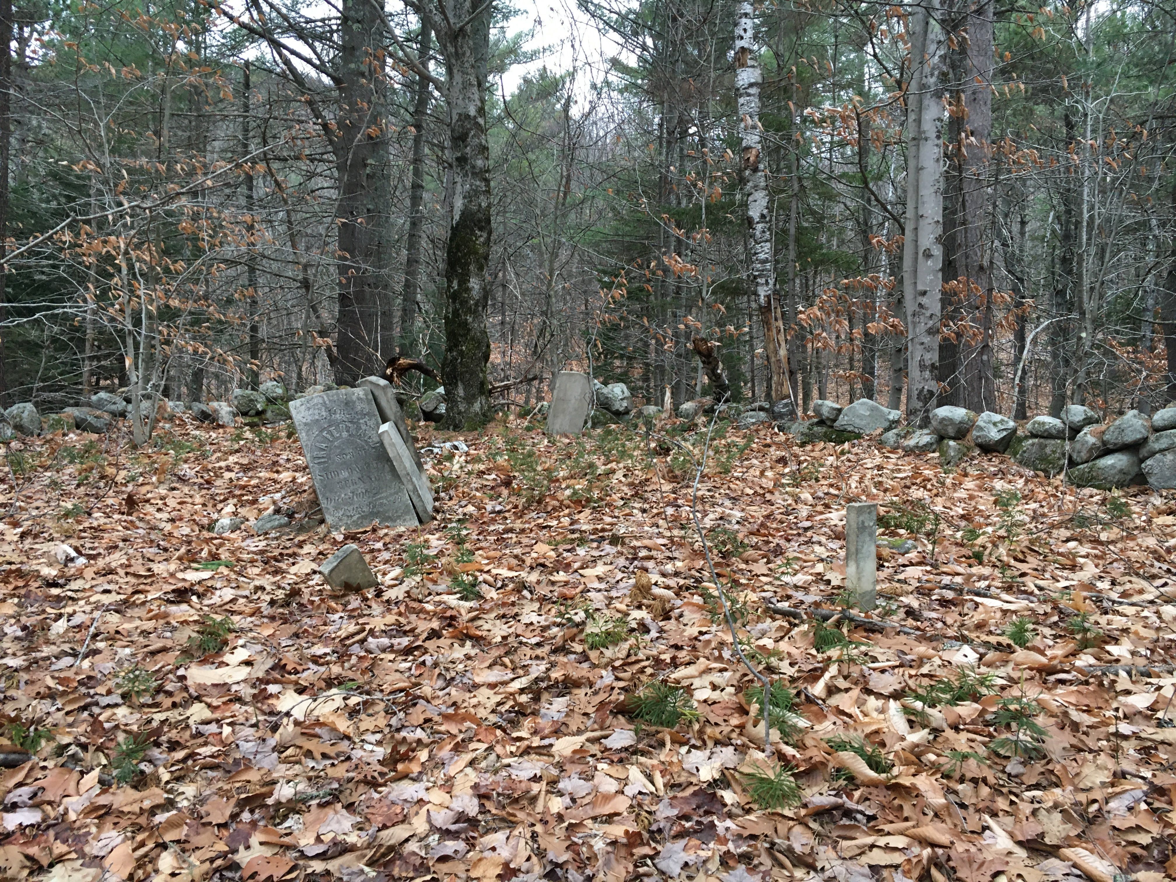
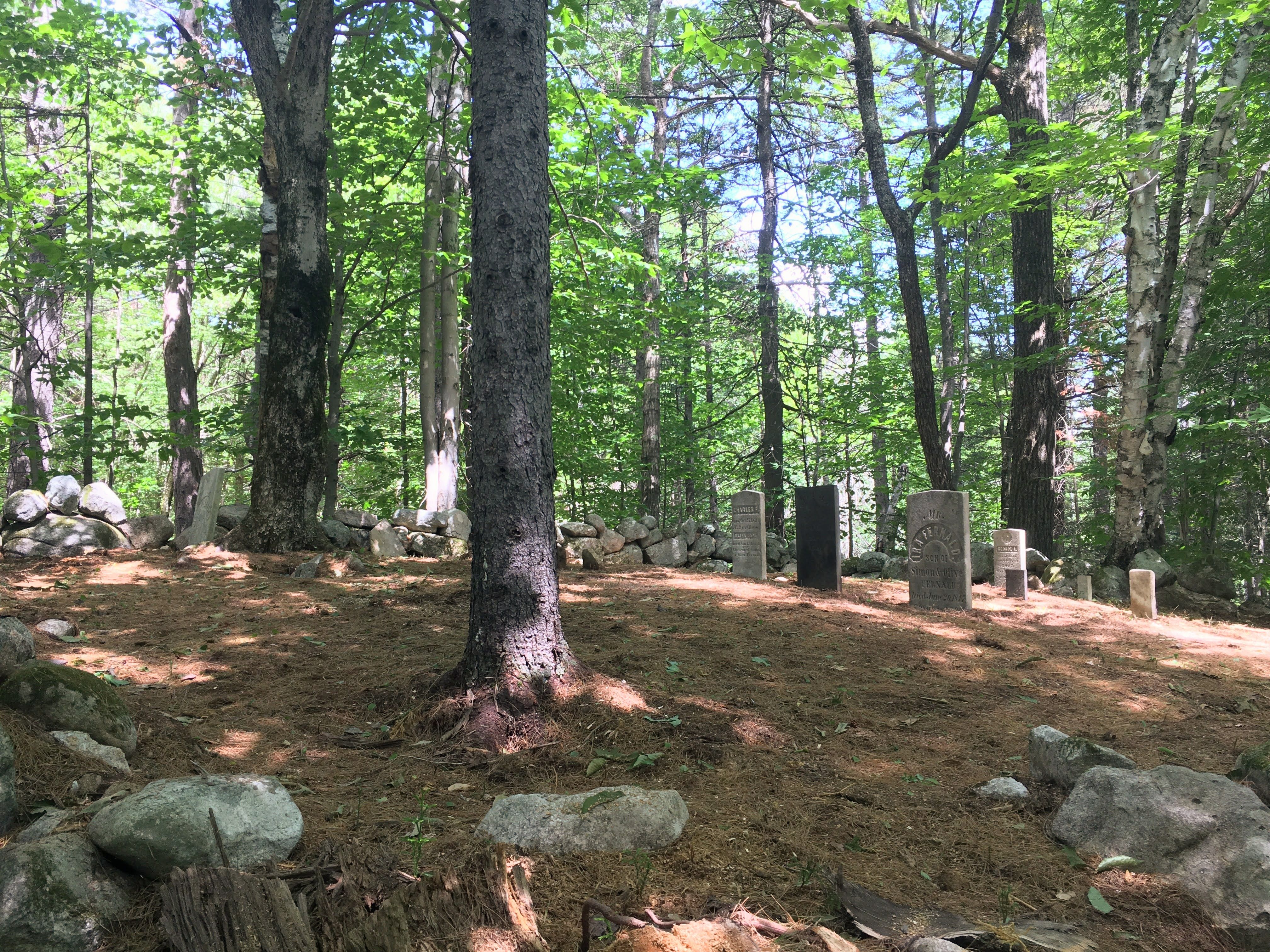
| Description | : | From its intersection with Stewart Road, drive south and east on Foss Mountain Road 1.4 miles. Continue straight (northeast) onto Willis Bean Road and follow it 0.45 miles, stopping before the second bridge. The cemetery is 100 feet steeply up on the hill on the left (north) side. Note: Much of this route is not maintained for winter travel. |
frequently asked questions (FAQ):
-
Where is Fernald Cemetery?
Fernald Cemetery is located at Eaton, Carroll County ,New Hampshire ,USA.
-
Fernald Cemetery cemetery's updated grave count on graveviews.com?
6 memorials
-
Where are the coordinates of the Fernald Cemetery?
Latitude: 43.8825600
Longitude: -71.0159200
Nearby Cemetories:
1. Merrow-Gannett Cemetery
Eaton Center, Carroll County, USA
Coordinate: 43.8745200, -71.0153300
2. Brooks Cemetery
Eaton, Carroll County, USA
Coordinate: 43.8860600, -71.0409300
3. Wilkinson Cemetery
Eaton, Carroll County, USA
Coordinate: 43.8663900, -71.0331800
4. Flood Cemetery
Eaton Center, Carroll County, USA
Coordinate: 43.8988890, -71.0333330
5. Kenneson Cemetery
Eaton, Carroll County, USA
Coordinate: 43.9014700, -70.9997600
6. Currier-Wilkinson Cemetery
Eaton, Carroll County, USA
Coordinate: 43.8708500, -71.0433400
7. Ward-Stuart Cemetery
Eaton, Carroll County, USA
Coordinate: 43.8995300, -71.0391100
8. Drew Cemetery
Freedom, Carroll County, USA
Coordinate: 43.8607000, -71.0327000
9. Linscott Cemetery
Brownfield, Oxford County, USA
Coordinate: 43.8984500, -70.9886100
10. Swett Hill Cemetery
Freedom, Carroll County, USA
Coordinate: 43.8547000, -71.0183000
11. McCartee Cemetery
Porter, Oxford County, USA
Coordinate: 43.8844430, -70.9770440
12. Sawyer-Drew Cemetery
Eaton Center, Carroll County, USA
Coordinate: 43.9022200, -71.0453300
13. Perkins Cemetery
Eaton, Carroll County, USA
Coordinate: 43.9115300, -71.0160000
14. Jenness-Leavitt Cemetery
Eaton, Carroll County, USA
Coordinate: 43.8804900, -71.0565000
15. Thurston-Meserve Cemetery
Eaton, Carroll County, USA
Coordinate: 43.9105100, -71.0027800
16. Walker-Rounds Cemetery
Brownfield, Oxford County, USA
Coordinate: 43.8909100, -70.9765200
17. Garland Cemetery
Eaton, Carroll County, USA
Coordinate: 43.9111500, -71.0320300
18. Cole Cemetery
Brownfield, Oxford County, USA
Coordinate: 43.8956000, -70.9768700
19. Smart Cemetery
Freedom, Carroll County, USA
Coordinate: 43.8598700, -71.0483200
20. Allard Cemetery
Freedom, Carroll County, USA
Coordinate: 43.8599600, -71.0485000
21. Brooks Cemetery
Freedom, Carroll County, USA
Coordinate: 43.8505900, -71.0066900
22. Frank Hart Cemetery
Eaton Center, Carroll County, USA
Coordinate: 43.9145100, -71.0039600
23. Allen Cemetery
Eaton, Carroll County, USA
Coordinate: 43.8698200, -71.0591800
24. Moses-Young Cemetery
Freedom, Carroll County, USA
Coordinate: 43.8504800, -71.0317500