
| Memorials | : | 0 |
| Location | : | Eaton Center, Carroll County, USA |
| Coordinate | : | 43.8745200, -71.0153300 |
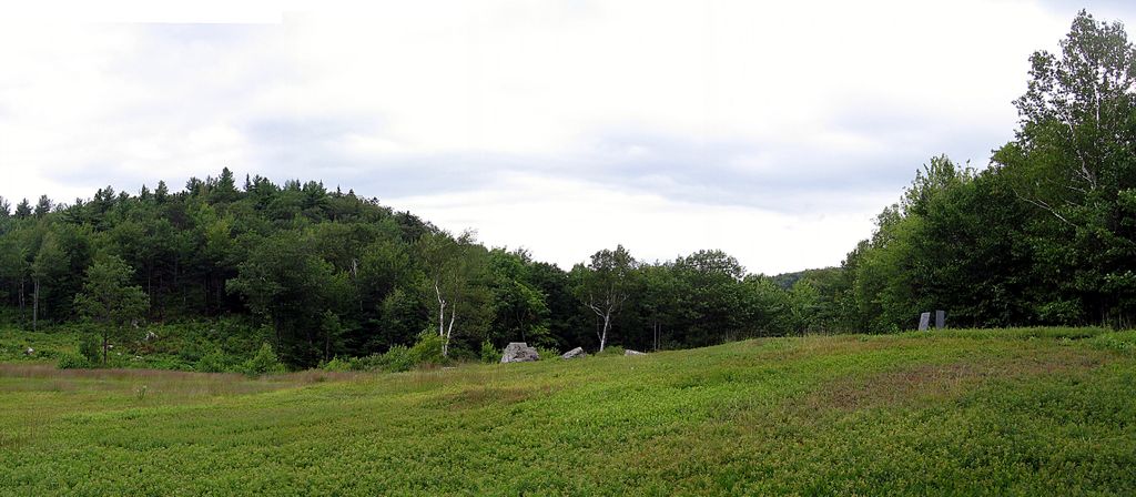
| Description | : | From its intersection with Stewart Road, drive south and east on Foss Mountain Road 1.4 miles. Turn right (south) onto Willis Bean Road and follow it 0.3 miles to gated Pedlar's End Lane. With permission, follow this lane east 800 feet to the house. The cemetery, which consists of two gravestones with no enclosure, is located 250 feet northeast of the house. Note: Most of this route is not maintained for winter travel. |
frequently asked questions (FAQ):
-
Where is Merrow-Gannett Cemetery?
Merrow-Gannett Cemetery is located at Peddlar’s End Lane Eaton Center, Carroll County ,New Hampshire , 03836USA.
-
Merrow-Gannett Cemetery cemetery's updated grave count on graveviews.com?
0 memorials
-
Where are the coordinates of the Merrow-Gannett Cemetery?
Latitude: 43.8745200
Longitude: -71.0153300

Nearby Cemetories:
1. Fernald Cemetery
Eaton, Carroll County, USA
Coordinate: 43.8825600, -71.0159200
2. Wilkinson Cemetery
Eaton, Carroll County, USA
Coordinate: 43.8663900, -71.0331800
3. Drew Cemetery
Freedom, Carroll County, USA
Coordinate: 43.8607000, -71.0327000
4. Swett Hill Cemetery
Freedom, Carroll County, USA
Coordinate: 43.8547000, -71.0183000
5. Currier-Wilkinson Cemetery
Eaton, Carroll County, USA
Coordinate: 43.8708500, -71.0433400
6. Brooks Cemetery
Eaton, Carroll County, USA
Coordinate: 43.8860600, -71.0409300
7. Brooks Cemetery
Freedom, Carroll County, USA
Coordinate: 43.8505900, -71.0066900
8. Moses-Young Cemetery
Freedom, Carroll County, USA
Coordinate: 43.8504800, -71.0317500
9. Flood Cemetery
Eaton Center, Carroll County, USA
Coordinate: 43.8988890, -71.0333330
10. Smart Cemetery
Freedom, Carroll County, USA
Coordinate: 43.8598700, -71.0483200
11. Allard Cemetery
Freedom, Carroll County, USA
Coordinate: 43.8599600, -71.0485000
12. Kenneson Cemetery
Eaton, Carroll County, USA
Coordinate: 43.9014700, -70.9997600
13. McCartee Cemetery
Porter, Oxford County, USA
Coordinate: 43.8844430, -70.9770440
14. Sargent Cemetery
Freedom, Carroll County, USA
Coordinate: 43.8489000, -70.9943000
15. Jenness-Leavitt Cemetery
Eaton, Carroll County, USA
Coordinate: 43.8804900, -71.0565000
16. Ward-Stuart Cemetery
Eaton, Carroll County, USA
Coordinate: 43.8995300, -71.0391100
17. Linscott Cemetery
Brownfield, Oxford County, USA
Coordinate: 43.8984500, -70.9886100
18. Allen Cemetery
Eaton, Carroll County, USA
Coordinate: 43.8698200, -71.0591800
19. Walker-Rounds Cemetery
Brownfield, Oxford County, USA
Coordinate: 43.8909100, -70.9765200
20. Sargent Cemetery
Porter, Oxford County, USA
Coordinate: 43.8487483, -70.9842183
21. Cole Cemetery
Brownfield, Oxford County, USA
Coordinate: 43.8956000, -70.9768700
22. Sawyer-Drew Cemetery
Eaton Center, Carroll County, USA
Coordinate: 43.9022200, -71.0453300
23. Roberts Cemetery
Porter, Oxford County, USA
Coordinate: 43.8465200, -70.9853400
24. Thurston Cemetery
Eaton Center, Carroll County, USA
Coordinate: 43.8690000, -71.0658000