
| Memorials | : | 0 |
| Location | : | Flat Rock, Henderson County, USA |
| Coordinate | : | 35.2822100, -82.4426360 |
| Description | : | P.O. Box 421, Flat Rock, NC 28731 (828) 692-0063 |
frequently asked questions (FAQ):
-
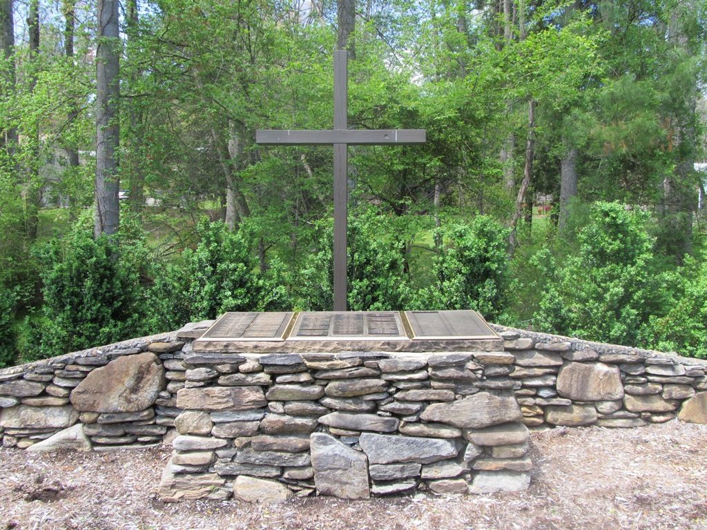
Where is Pinecrest Presbyterian Church Memorial Garden?
Pinecrest Presbyterian Church Memorial Garden is located at 1790 Greenville Hwy Flat Rock, Henderson County ,North Carolina , 28792USA.
-
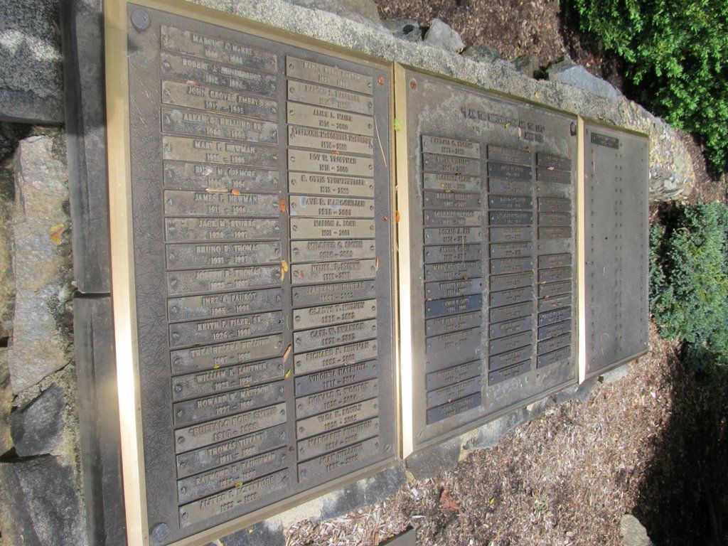
Pinecrest Presbyterian Church Memorial Garden cemetery's updated grave count on graveviews.com?
0 memorials
-
Where are the coordinates of the Pinecrest Presbyterian Church Memorial Garden?
Latitude: 35.2822100
Longitude: -82.4426360

Nearby Cemetories:
1. Saint John In the Wilderness Cemetery
Flat Rock, Henderson County, USA
Coordinate: 35.2821170, -82.4435670
2. Oakland Cemetery
East Flat Rock, Henderson County, USA
Coordinate: 35.2835999, -82.4302979
3. Mud Creek Baptist Church Cemetery
Flat Rock, Henderson County, USA
Coordinate: 35.2905998, -82.4536972
4. Hill Mausoleum
Flat Rock, Henderson County, USA
Coordinate: 35.2630638, -82.4577080
5. Oak Grove Baptist Church Cemetery
East Flat Rock, Henderson County, USA
Coordinate: 35.2729000, -82.4031580
6. Anders Cemetery
East Flat Rock, Henderson County, USA
Coordinate: 35.2654700, -82.4064300
7. Saint James Episcopal Church Cemetery
Hendersonville, Henderson County, USA
Coordinate: 35.3198874, -82.4610627
8. Forest Lawn Memorial Park
Henderson County, USA
Coordinate: 35.3225403, -82.4362411
9. Bethel Wesleyan Church Cemetery
Henderson County, USA
Coordinate: 35.3157234, -82.4103165
10. Gilbert-Justus Family Cemetery
Upward, Henderson County, USA
Coordinate: 35.2861000, -82.3894380
11. Tracy Grove Baptist Church
Henderson County, USA
Coordinate: 35.3142014, -82.4045029
12. Berea Baptist Church Cemetery
Flat Rock, Henderson County, USA
Coordinate: 35.2564011, -82.4875031
13. Oakdale Cemetery
Hendersonville, Henderson County, USA
Coordinate: 35.3191986, -82.4753036
14. Pleasant Hill Cemetery
Valley Hill, Henderson County, USA
Coordinate: 35.2750015, -82.4993973
15. First Congregational Church Memorial Garden
Hendersonville, Henderson County, USA
Coordinate: 35.3151530, -82.4841940
16. Grace Lutheran Church Memorial Garden
Hendersonville, Henderson County, USA
Coordinate: 35.3212100, -82.4786900
17. Jones Family Cemetery at Upward
Upward, Henderson County, USA
Coordinate: 35.3022003, -82.3855972
18. Mountain View Baptist Church Cemetery
Tuxedo, Henderson County, USA
Coordinate: 35.2325000, -82.4285000
19. Fortune-Kuykendall Cemetery
Zirconia, Henderson County, USA
Coordinate: 35.2424000, -82.4032000
20. Mount Olivet Baptist Church Cemetery
Zirconia, Henderson County, USA
Coordinate: 35.2366900, -82.4749000
21. Hammett Family Cemetery
Upward, Henderson County, USA
Coordinate: 35.3090400, -82.3868630
22. Tuxedo First Baptist Church Cemetery
Zirconia, Henderson County, USA
Coordinate: 35.2299000, -82.4285000
23. Cantrell Family Cemetery
Henderson County, USA
Coordinate: 35.2869119, -82.5096819
24. Crossroads Baptist Church Cemetery
Zirconia, Henderson County, USA
Coordinate: 35.2287090, -82.4154320