
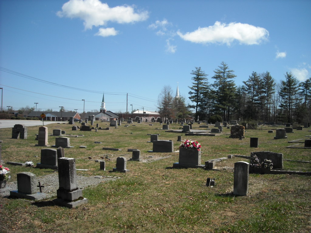
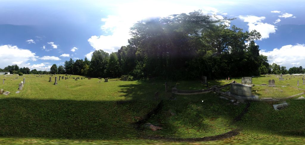
| Memorials | : | 24 |
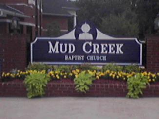
| Location | : | Flat Rock, Henderson County, USA |
| Phone | : | 828-692-1262 |
| Coordinate | : | 35.2905998, -82.4536972 |
| Description | : | From Interstate 26 exit # 53 and go toward Flat Rock, follow this road till it ends. Turn right and then left on Rutledge. The church will be on the right and the cemetery on the left. |
frequently asked questions (FAQ):
-
Where is Mud Creek Baptist Church Cemetery?
Mud Creek Baptist Church Cemetery is located at Flat Rock, Henderson County ,North Carolina ,USA.
-
Mud Creek Baptist Church Cemetery cemetery's updated grave count on graveviews.com?
22 memorials
-
Where are the coordinates of the Mud Creek Baptist Church Cemetery?
Latitude: 35.2905998
Longitude: -82.4536972
Nearby Cemetories:
1. Saint John In the Wilderness Cemetery
Flat Rock, Henderson County, USA
Coordinate: 35.2821170, -82.4435670
2. Pinecrest Presbyterian Church Memorial Garden
Flat Rock, Henderson County, USA
Coordinate: 35.2822100, -82.4426360
3. Oakland Cemetery
East Flat Rock, Henderson County, USA
Coordinate: 35.2835999, -82.4302979
4. Hill Mausoleum
Flat Rock, Henderson County, USA
Coordinate: 35.2630638, -82.4577080
5. Saint James Episcopal Church Cemetery
Hendersonville, Henderson County, USA
Coordinate: 35.3198874, -82.4610627
6. Oakdale Cemetery
Hendersonville, Henderson County, USA
Coordinate: 35.3191986, -82.4753036
7. First Congregational Church Memorial Garden
Hendersonville, Henderson County, USA
Coordinate: 35.3151530, -82.4841940
8. Forest Lawn Memorial Park
Henderson County, USA
Coordinate: 35.3225403, -82.4362411
9. Grace Lutheran Church Memorial Garden
Hendersonville, Henderson County, USA
Coordinate: 35.3212100, -82.4786900
10. Pleasant Hill Cemetery
Valley Hill, Henderson County, USA
Coordinate: 35.2750015, -82.4993973
11. Bethel Wesleyan Church Cemetery
Henderson County, USA
Coordinate: 35.3157234, -82.4103165
12. Berea Baptist Church Cemetery
Flat Rock, Henderson County, USA
Coordinate: 35.2564011, -82.4875031
13. Oak Grove Baptist Church Cemetery
East Flat Rock, Henderson County, USA
Coordinate: 35.2729000, -82.4031580
14. Cantrell Family Cemetery
Henderson County, USA
Coordinate: 35.2869119, -82.5096819
15. Anders Cemetery
East Flat Rock, Henderson County, USA
Coordinate: 35.2654700, -82.4064300
16. Tracy Grove Baptist Church
Henderson County, USA
Coordinate: 35.3142014, -82.4045029
17. Shaws Creek Baptist Church Cemetery
Horse Shoe, Henderson County, USA
Coordinate: 35.3231010, -82.4983978
18. McCrary Family Cemetery
Henderson County, USA
Coordinate: 35.3366776, -82.4810562
19. Gilbert-Justus Family Cemetery
Upward, Henderson County, USA
Coordinate: 35.2861000, -82.3894380
20. Mount Olivet Baptist Church Cemetery
Zirconia, Henderson County, USA
Coordinate: 35.2366900, -82.4749000
21. Jones Family Cemetery at Upward
Upward, Henderson County, USA
Coordinate: 35.3022003, -82.3855972
22. Hammett Family Cemetery
Upward, Henderson County, USA
Coordinate: 35.3090400, -82.3868630
23. Saint Francis Chapel Memorial Garden
Henderson County, USA
Coordinate: 35.2641670, -82.5200440
24. Fair Haven Baptist Church Cemetery
Hendersonville, Henderson County, USA
Coordinate: 35.3447800, -82.4203100