
| Memorials | : | 0 |
| Location | : | Independence, Kenton County, USA |
| Coordinate | : | 38.9431490, -84.5350520 |
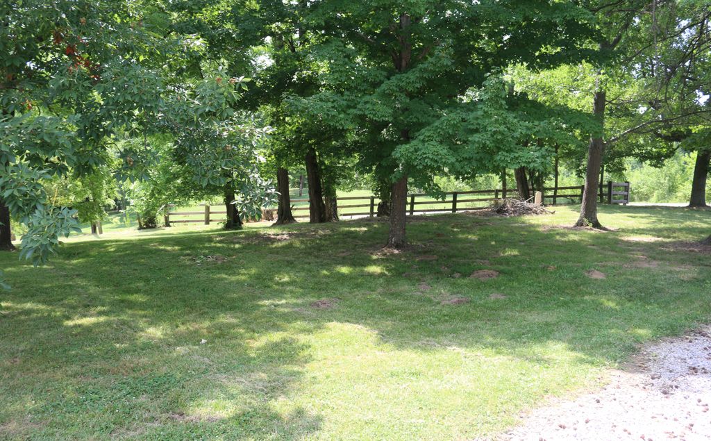
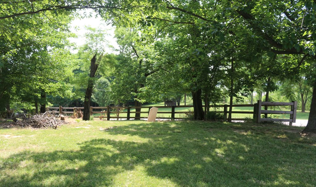
| Description | : | The cemetery is located on the north side of the old portion of McCullum Pike, which intersects with McCullum Pike (Kentucky 2045) about 0.25 miles west of its intersection with Kentucky 17. The cemetery is listed as McCullum Cemetery on page 56 of Small Kenton County, Kentucky, Cemeteries, published by the Kenton County Historical Society, Cemetery Committee, and on page 56 of Kenton County Cemeteries, published by the Kenton County Historical Society, Covington, Kentucky, 1981. The cemetery inscriptions were recorded in 1970, reporting 7 graves identifiable by inscription and no unidentifiable graves. The cemetery location is given as latitude 38° 56’... Read More |
frequently asked questions (FAQ):
-
Where is McCollum Cemetery?
McCollum Cemetery is located at McCullum Pike Independence, Kenton County ,Kentucky , 41051USA.
-
McCollum Cemetery cemetery's updated grave count on graveviews.com?
0 memorials
-
Where are the coordinates of the McCollum Cemetery?
Latitude: 38.9431490
Longitude: -84.5350520
Nearby Cemetories:
1. Independence Cemetery
Independence, Kenton County, USA
Coordinate: 38.9364014, -84.5419006
2. Saint Cecilias Cemetery
Independence, Kenton County, USA
Coordinate: 38.9397011, -84.5466995
3. Pelly Cemetery
Latonia Lakes, Kenton County, USA
Coordinate: 38.9611110, -84.5294440
4. B'Hymer Cemetery
Independence, Kenton County, USA
Coordinate: 38.9525000, -84.5575000
5. Faulkner Cemetery
Independence, Kenton County, USA
Coordinate: 38.9166670, -84.5333330
6. Grizzell Family Cemetery
Independence, Kenton County, USA
Coordinate: 38.9260320, -84.5089030
7. Hoffman Cemetery
Independence, Kenton County, USA
Coordinate: 38.9616670, -84.5630560
8. Stephens Cemetery
Ryland Heights, Kenton County, USA
Coordinate: 38.9374570, -84.4977570
9. Cox Cemetery
Covington, Kenton County, USA
Coordinate: 38.9716670, -84.5188890
10. Minter Cemetery
Covington, Kenton County, USA
Coordinate: 38.9642300, -84.5055100
11. Osborn Cemetery
Latonia Lakes, Kenton County, USA
Coordinate: 38.9661110, -84.5016670
12. Hoffman Cemetery
Independence, Kenton County, USA
Coordinate: 38.9102777, -84.5200000
13. Lighthouse Memorial Gardens
Covington, Kenton County, USA
Coordinate: 38.9689350, -84.5025500
14. Oak Ridge Church Cemetery
Latonia Lakes, Kenton County, USA
Coordinate: 38.9691460, -84.5024180
15. Klette Cemetery
Latonia Lakes, Kenton County, USA
Coordinate: 38.9616670, -84.4944400
16. Ashford Road Cemetery
Independence, Kenton County, USA
Coordinate: 38.9528850, -84.4892100
17. Wilson-Williams Cemetery
Ricedale, Kenton County, USA
Coordinate: 38.9409840, -84.5832880
18. Bannister Cemetery
Taylor Mill, Kenton County, USA
Coordinate: 38.9758333, -84.5111110
19. Petty Cemetery
Ryland, Kenton County, USA
Coordinate: 38.9391000, -84.4847100
20. Aaron Wayman Cemetery
Independence, Kenton County, USA
Coordinate: 38.9819440, -84.5469440
21. Richard Richardson Cemetery
Latonia Lakes, Kenton County, USA
Coordinate: 38.9741670, -84.5027780
22. Bird Cemetery
Independence, Kenton County, USA
Coordinate: 38.9027780, -84.5327780
23. Augustus Richardson Cemetery
Latonia Lakes, Kenton County, USA
Coordinate: 38.9811110, -84.5141670
24. Wayman Cemetery
Independence, Kenton County, USA
Coordinate: 38.9847220, -84.5347220