
| Memorials | : | 0 |
| Location | : | Smith County, USA |
| Coordinate | : | 32.1888520, -89.4801290 |
| Description | : | From Raleigh, Mississippi proceed North on Highway 35 for approximately 11 miles, to the intersection of Smith County Road 32 (SCR 32.) Turn right (East) and continue approximately 1.9 miles to the point where SCR 32 intersects both SCR 541 (Bailey Road) and SCR 541-B. Cemetery will be East of the intersection. specifically: SW1/4 NE1/4, S16, T4N-R8E, Smith, Pineville Quadrangle Map. USNG: 16S BA 66188 64065 |
frequently asked questions (FAQ):
-
Where is Union Grove Cemetery?
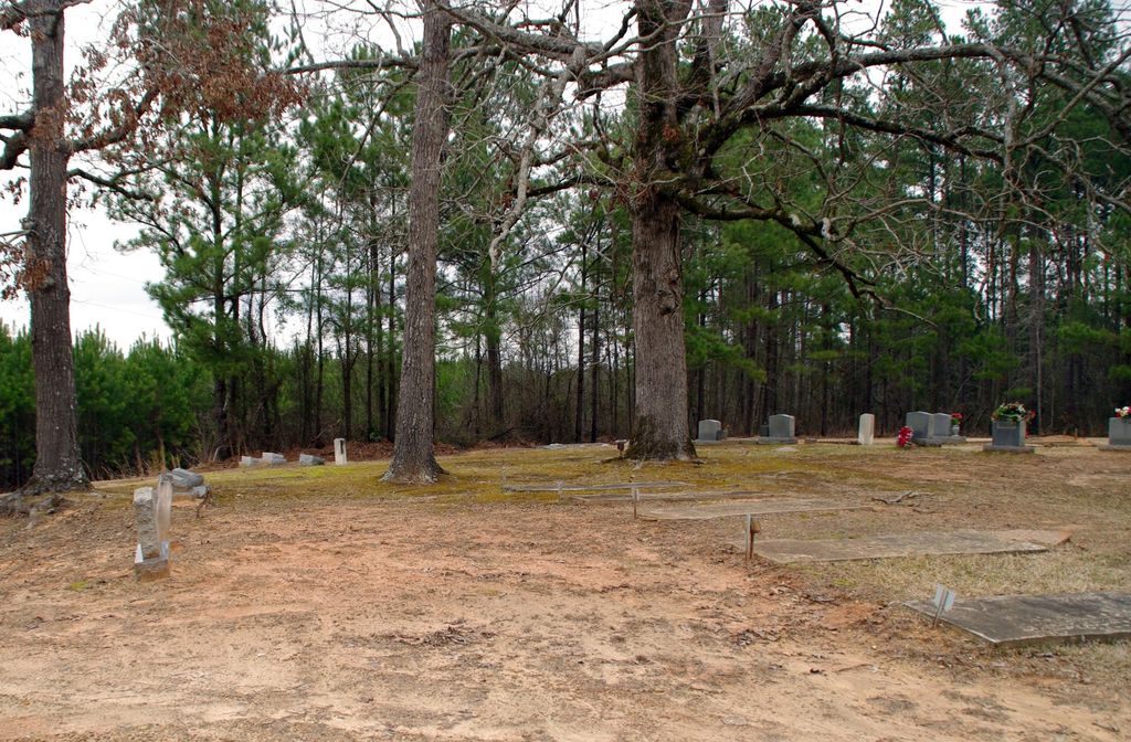
Union Grove Cemetery is located at Smith County Road 541-B Smith County ,Mississippi , 39152USA.
-
Union Grove Cemetery cemetery's updated grave count on graveviews.com?
0 memorials
-
Where are the coordinates of the Union Grove Cemetery?
Latitude: 32.1888520
Longitude: -89.4801290
Nearby Cemetories:
1. Lorena Baptist Church Cemetery
Lorena, Smith County, USA
Coordinate: 32.1917890, -89.5061570
2. Mount Carmel Cemetery
Smith County, USA
Coordinate: 32.1748200, -89.4593010
3. Lorena Baptist Church Extension Cemetery
Smith County, USA
Coordinate: 32.1976340, -89.5059530
4. Gasque Chapel Cemetery
Smith County, USA
Coordinate: 32.1793540, -89.5297340
5. Noblin Cemetery
Forest, Scott County, USA
Coordinate: 32.2310210, -89.4952380
6. Goodwater Baptist Church Cemetery
Smith County, USA
Coordinate: 32.1415200, -89.5027900
7. Good Hope Cemetery
Smith County, USA
Coordinate: 32.1613100, -89.5345100
8. Homewood Methodist Church Cemetery
Forest, Scott County, USA
Coordinate: 32.2410500, -89.5046000
9. Luther Chapel Lutheran Church Cemetery
Lingle, Smith County, USA
Coordinate: 32.2183500, -89.5443800
10. Crout Sisters Cemetery
Scott County, USA
Coordinate: 32.2421800, -89.4403800
11. Carr Methodist Church Cemetery
Smith County, USA
Coordinate: 32.2058300, -89.4074200
12. Bethel Baptist Church Cemetery
Smith County, USA
Coordinate: 32.1830920, -89.5565660
13. Lemon Christian Cemetery
Raleigh, Smith County, USA
Coordinate: 32.1225570, -89.4748020
14. Old Henderson Cemetery
Smith County, USA
Coordinate: 32.1199100, -89.4919700
15. Mount Zion Missionary Baptist Cemetery
Lake, Scott County, USA
Coordinate: 32.2572400, -89.4454100
16. Burns Baptist Church Cemetery
Raleigh, Smith County, USA
Coordinate: 32.1321880, -89.5384430
17. Barber Cemetery
Raleigh, Smith County, USA
Coordinate: 32.1321810, -89.5385960
18. Henderson Family Cemetery
Smith County, USA
Coordinate: 32.1207008, -89.5181122
19. Roberts Cemetery
Smith County, USA
Coordinate: 32.1968100, -89.5688000
20. Burns United Methodist Church Cemetery
Burns, Smith County, USA
Coordinate: 32.1310501, -89.5399399
21. Sylvan Grove Cemetery
Smith County, USA
Coordinate: 32.1137310, -89.4530439
22. Luther Chapel Cemetery
Pulaski, Scott County, USA
Coordinate: 32.2405100, -89.5511900
23. Lingle Cemetery
Lingle, Smith County, USA
Coordinate: 32.2091200, -89.5731800
24. Providence Cemetery
Burns, Smith County, USA
Coordinate: 32.1357400, -89.5528600