
| Memorials | : | 0 |
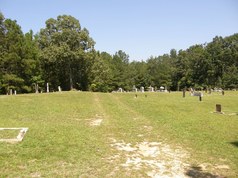
| Location | : | Smith County, USA |
| Coordinate | : | 32.1748200, -89.4593010 |
| Description | : | From Raleigh, Mississippi proceed North on Mississippi Highway 35 for approximately 8.1 miles to the intersection of Smith County Road 504, (SCR 504.) Turn right (East) onto SCR 504 and proceed approximately 3.3 miles to Smith County Road 541 (SCR 541) intersection. Turn left (North) on SCR 541 and continue 1 mile, Mount Carmel cemetery will be on the right (East) side of SCR 541, specifically: NW1/4 NW1/4, S22, T4N-R8E, Smith, Pineville Quadrangle map, USNG: 16S BA 68116 62464. |
frequently asked questions (FAQ):
-
Where is Mount Carmel Cemetery?
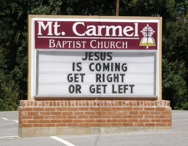
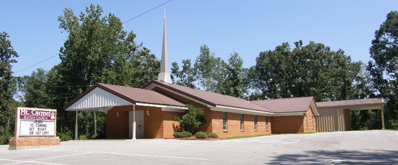
Mount Carmel Cemetery is located at 1131 Smith County Road 541 Smith County ,Mississippi , 39092USA.
-
Mount Carmel Cemetery cemetery's updated grave count on graveviews.com?
0 memorials
-
Where are the coordinates of the Mount Carmel Cemetery?
Latitude: 32.1748200
Longitude: -89.4593010

Nearby Cemetories:
1. Union Grove Cemetery
Smith County, USA
Coordinate: 32.1888520, -89.4801290
2. Lorena Baptist Church Cemetery
Lorena, Smith County, USA
Coordinate: 32.1917890, -89.5061570
3. Lorena Baptist Church Extension Cemetery
Smith County, USA
Coordinate: 32.1976340, -89.5059530
4. Goodwater Baptist Church Cemetery
Smith County, USA
Coordinate: 32.1415200, -89.5027900
5. Carr Methodist Church Cemetery
Smith County, USA
Coordinate: 32.2058300, -89.4074200
6. Lemon Christian Cemetery
Raleigh, Smith County, USA
Coordinate: 32.1225570, -89.4748020
7. Gasque Chapel Cemetery
Smith County, USA
Coordinate: 32.1793540, -89.5297340
8. Sylvan Grove Cemetery
Smith County, USA
Coordinate: 32.1137310, -89.4530439
9. Old Henderson Cemetery
Smith County, USA
Coordinate: 32.1199100, -89.4919700
10. Noblin Cemetery
Forest, Scott County, USA
Coordinate: 32.2310210, -89.4952380
11. Good Hope Cemetery
Smith County, USA
Coordinate: 32.1613100, -89.5345100
12. Crout Sisters Cemetery
Scott County, USA
Coordinate: 32.2421800, -89.4403800
13. Pineville-Leaf River Cemetery
Smith County, USA
Coordinate: 32.1266000, -89.3987200
14. Henderson Family Cemetery
Smith County, USA
Coordinate: 32.1207008, -89.5181122
15. Homewood Methodist Church Cemetery
Forest, Scott County, USA
Coordinate: 32.2410500, -89.5046000
16. Burns Baptist Church Cemetery
Raleigh, Smith County, USA
Coordinate: 32.1321880, -89.5384430
17. Barber Cemetery
Raleigh, Smith County, USA
Coordinate: 32.1321810, -89.5385960
18. Mount Nebo Cemetery
Smith County, USA
Coordinate: 32.0951900, -89.4677200
19. Mount Nebo Baptist Cemetery
Raleigh, Smith County, USA
Coordinate: 32.0981000, -89.4317400
20. Burns United Methodist Church Cemetery
Burns, Smith County, USA
Coordinate: 32.1310501, -89.5399399
21. Bethel Baptist Church Cemetery
Smith County, USA
Coordinate: 32.1830920, -89.5565660
22. Mount Zion Missionary Baptist Cemetery
Lake, Scott County, USA
Coordinate: 32.2572400, -89.4454100
23. Trinity Methodist Cemetery
Raleigh, Smith County, USA
Coordinate: 32.0920600, -89.4753300
24. Luther Chapel Lutheran Church Cemetery
Lingle, Smith County, USA
Coordinate: 32.2183500, -89.5443800