
| Memorials | : | 17 |
| Location | : | Archbold, Fulton County, USA |
| Coordinate | : | 41.5428009, -84.2882996 |
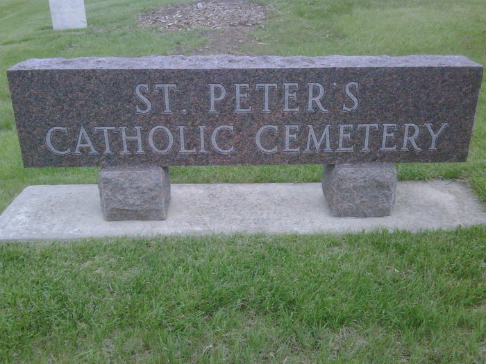
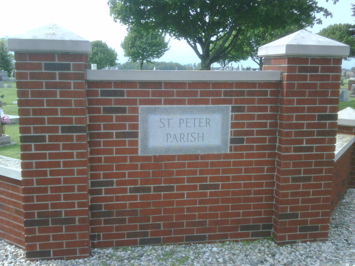
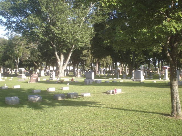
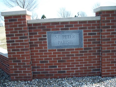
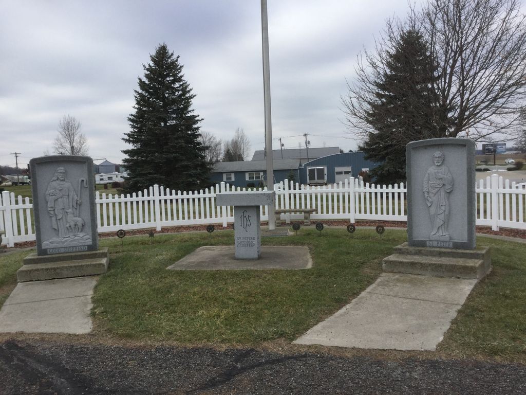
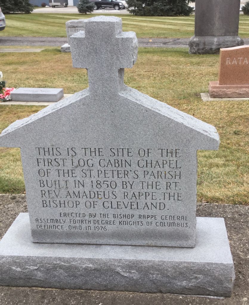
| Description | : | The St. Peter's Catholic Cemetery is located one and one-half miles north and one mile east of Archbold, on the south side of SR 2 west of the intersection with Township Road 22. The cemetery is located on land deeded to S. McKelvey in 1835. Later Francis Fleury purchased the land and in 1850 a log building was constructed as a place for Catholic worship. In 1869, a new church was dedicated in the village of Archbold and the ground where the log church stood was added to the cemetery. |
frequently asked questions (FAQ):
-
Where is Saint Peters Cemetery?
Saint Peters Cemetery is located at Archbold, Fulton County ,Ohio ,USA.
-
Saint Peters Cemetery cemetery's updated grave count on graveviews.com?
16 memorials
-
Where are the coordinates of the Saint Peters Cemetery?
Latitude: 41.5428009
Longitude: -84.2882996
Nearby Cemetories:
1. Saint James Lutheran Cemetery
Burlington, Fulton County, USA
Coordinate: 41.5428009, -84.2630997
2. Wyse Cemetery
Fulton County, USA
Coordinate: 41.5647820, -84.2686700
3. Beck Cemetery
Fulton County, USA
Coordinate: 41.5648620, -84.2682880
4. Rupp Cemetery
Archbold, Fulton County, USA
Coordinate: 41.5140110, -84.2771370
5. Lauber Hill Cemetery
Fulton County, USA
Coordinate: 41.5742410, -84.2681490
6. Eckley Cemetery
Eckley, Fulton County, USA
Coordinate: 41.5641600, -84.2491200
7. Reform Cemetery
Archbold, Fulton County, USA
Coordinate: 41.5039790, -84.3061070
8. Archbold Cemetery
Archbold, Fulton County, USA
Coordinate: 41.5028000, -84.3058014
9. Johnson Cemetery
Burlington, Fulton County, USA
Coordinate: 41.5791230, -84.3308020
10. Pettisville Cemetery
Pettisville, Fulton County, USA
Coordinate: 41.5302620, -84.2258690
11. Pettisville Union Cemetery
Pettisville, Fulton County, USA
Coordinate: 41.5294190, -84.2258910
12. Pettisville Lutheran Cemetery
Pettisville, Fulton County, USA
Coordinate: 41.5321900, -84.2237400
13. Aeschliman Cemetery
Pettisville, Fulton County, USA
Coordinate: 41.5147018, -84.2192001
14. North Pettisville Cemetery
Wauseon, Fulton County, USA
Coordinate: 41.5728190, -84.2200180
15. Goll Cemetery
Archbold, Fulton County, USA
Coordinate: 41.5558014, -84.3677979
16. Smith Cemetery
Franklin Township, Fulton County, USA
Coordinate: 41.5957985, -84.2316971
17. Ayers Cemetery
Fulton County, USA
Coordinate: 41.5960999, -84.2296982
18. Lockport Cemetery
Stryker, Williams County, USA
Coordinate: 41.5466690, -84.3927765
19. Bayes Cemetery
Wauseon, Fulton County, USA
Coordinate: 41.5581017, -84.1706009
20. Lena Cemetery
Fulton County, USA
Coordinate: 41.5175018, -84.1731033
21. Tedrow Cemetery
Tedrow, Fulton County, USA
Coordinate: 41.6019300, -84.1975100
22. Freedom Township Cemetery
Freedom Township, Henry County, USA
Coordinate: 41.4752970, -84.2069960
23. Beatty Cemetery
West Unity, Williams County, USA
Coordinate: 41.5881970, -84.3954710
24. Mikesell Cemetery
Wauseon, Fulton County, USA
Coordinate: 41.5511017, -84.1631012