
| Memorials | : | 0 |
| Location | : | Croxton, South Cambridgeshire District, England |
| Coordinate | : | 52.2174280, -0.1688510 |
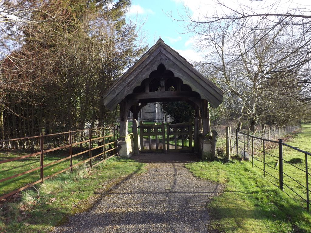
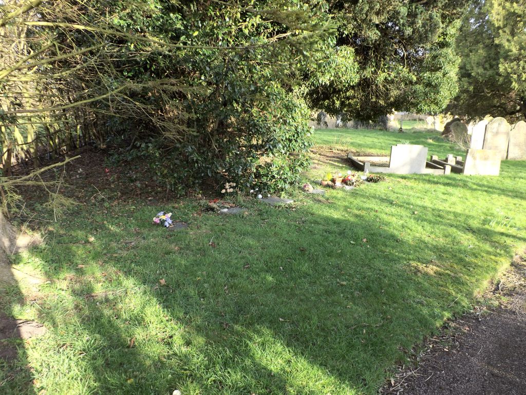
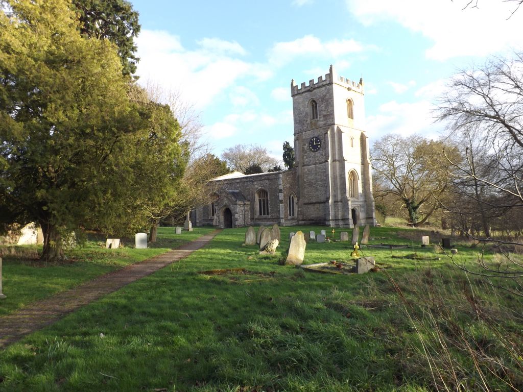
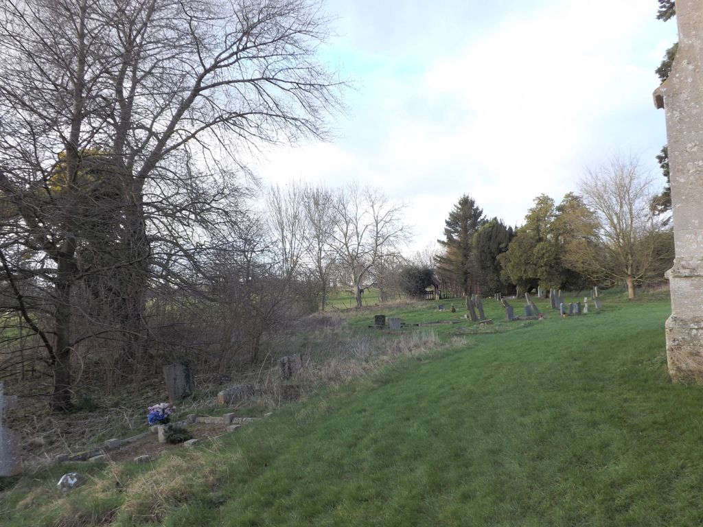
| Description | : | Croxton is a village and civil parish about 13 miles west of Cambridge in South Cambridgeshire. The name of the village was spelled Crochestone in the 1086 Domesday book. 'Croxton' is derived from 'farmstead in a nook, or of a man called Krókr', or the Old English 'croh-tun' meaning saffron farm, and may have been part of a late Scandinavian settlement, along with Caxton and Toft. A church at Croxton was first mentioned around 1217 and parts of today's church date from the 13th century. It is a Grade II listed building situated south of Croxton Park, close to the... Read More |
frequently asked questions (FAQ):
-
Where is St. James Churchyard?
St. James Churchyard is located at Croxton Park Estate Croxton, South Cambridgeshire District ,Cambridgeshire , PE19 6SYEngland.
-
St. James Churchyard cemetery's updated grave count on graveviews.com?
0 memorials
-
Where are the coordinates of the St. James Churchyard?
Latitude: 52.2174280
Longitude: -0.1688510
Nearby Cemetories:
1. St Pandionia and St John the Baptist Churchyard
Eltisley, South Cambridgeshire District, England
Coordinate: 52.2205960, -0.1445670
2. St Bartholomew Churchyard
Great Gransden, Huntingdonshire District, England
Coordinate: 52.1841660, -0.1425220
3. St Peter & St Paul Churchyard
Little Gransden, South Cambridgeshire District, England
Coordinate: 52.1801800, -0.1427200
4. St. James the Great New Churchyard
Waresley, Huntingdonshire District, England
Coordinate: 52.1747700, -0.1740900
5. St Botolph Churchyard
Graveley, South Cambridgeshire District, England
Coordinate: 52.2605200, -0.1701700
6. St James the Great Old Churchyard
Waresley, Huntingdonshire District, England
Coordinate: 52.1740400, -0.1710700
7. Church of St Andrew
Caxton, South Cambridgeshire District, England
Coordinate: 52.2031956, -0.0986441
8. Caxton Baptist Chapel
Caxton, South Cambridgeshire District, England
Coordinate: 52.2064820, -0.0926220
9. St John the Baptist Churchyard
Papworth St Agnes, South Cambridgeshire District, England
Coordinate: 52.2641300, -0.1414700
10. Holy Trinity Churchyard
Great Paxton, Huntingdonshire District, England
Coordinate: 52.2620300, -0.2291600
11. St. Neots Cemetery
St Neots, Huntingdonshire District, England
Coordinate: 52.2253680, -0.2641010
12. Parish Church of St. Mary the Virgin
St Neots, Huntingdonshire District, England
Coordinate: 52.2268700, -0.2671700
13. Cambourne Burial Ground
Cambourne, South Cambridgeshire District, England
Coordinate: 52.2179190, -0.0682910
14. New Street Baptist Church St Neots
St Neots, Huntingdonshire District, England
Coordinate: 52.2290700, -0.2686400
15. Eynesbury Old Cemetery
Huntingdonshire District, England
Coordinate: 52.2243800, -0.2705300
16. St Mary The Virgin
Longstowe, South Cambridgeshire District, England
Coordinate: 52.1815300, -0.0845300
17. St. Neots Priory
St Neots, Huntingdonshire District, England
Coordinate: 52.2281710, -0.2705280
18. St Mary the Virgin Churchyard
Gamlingay, South Cambridgeshire District, England
Coordinate: 52.1549840, -0.1872690
19. St Deny's Churchyard
Little Barford, Bedford Borough, England
Coordinate: 52.1982210, -0.2785350
20. St. Helena and St. Mary Churchyard
Bourn, South Cambridgeshire District, England
Coordinate: 52.1896940, -0.0639950
21. St Peter's Churchyard
Offord d'Arcy, Huntingdonshire District, England
Coordinate: 52.2824000, -0.2178000
22. Elsworth Particular Baptist Chapelyard
Elsworth, South Cambridgeshire District, England
Coordinate: 52.2559800, -0.0686500
23. St Mary Churchyard
Eaton Socon, Huntingdonshire District, England
Coordinate: 52.2156190, -0.2882830
24. All Saints Churchyard
Offord Cluny, Huntingdonshire District, England
Coordinate: 52.2878400, -0.2144120