
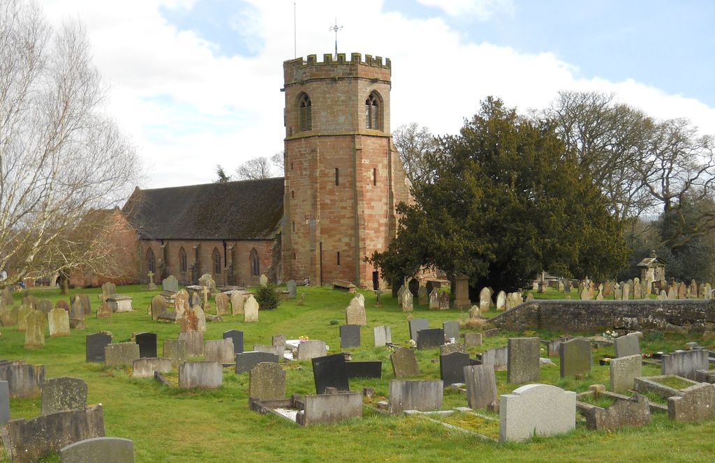
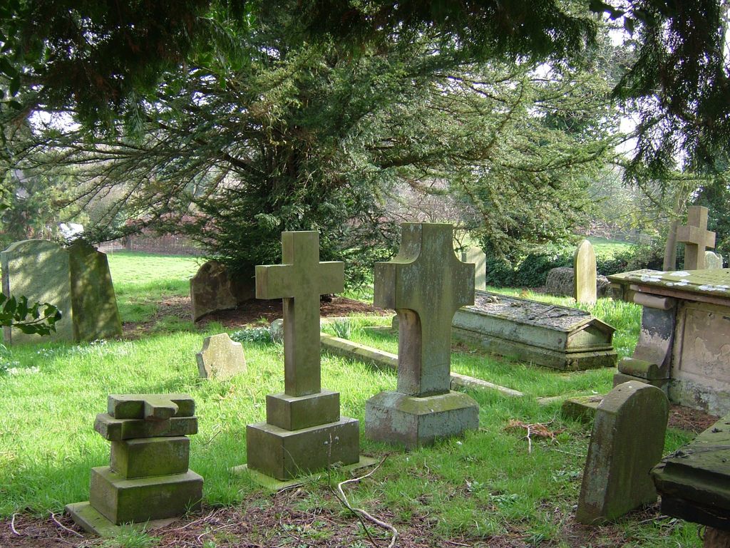
| Memorials | : | 0 |
| Location | : | Hodnet, Shropshire Unitary Authority, England |
| Coordinate | : | 52.8536780, -2.5772160 |
frequently asked questions (FAQ):
-
Where is St Luke's Churchyard?
St Luke's Churchyard is located at Hodnet, Shropshire Unitary Authority ,Shropshire ,England.
-
St Luke's Churchyard cemetery's updated grave count on graveviews.com?
0 memorials
-
Where are the coordinates of the St Luke's Churchyard?
Latitude: 52.8536780
Longitude: -2.5772160
Nearby Cemetories:
1. St Michael & All Angels
Childs Ercall, Shropshire Unitary Authority, England
Coordinate: 52.8222524, -2.4975524
2. St Oswald's Church Burial Ground
Hinstock, Shropshire Unitary Authority, England
Coordinate: 52.8346100, -2.4577700
3. Calverhall Holy Trinity
Calverhall, Shropshire Unitary Authority, England
Coordinate: 52.9311270, -2.5917490
4. St Michael Churchyard
Waters Upton, Telford and Wrekin Unitary Authority, England
Coordinate: 52.7713210, -2.5439270
5. St. Mary's Churchyard
Edstaston, Shropshire Unitary Authority, England
Coordinate: 52.8830727, -2.7182040
6. St John The Baptist Churchyard
Ightfield, Shropshire Unitary Authority, England
Coordinate: 52.9438900, -2.6081000
7. Coton Primitive Methodist Chapel
Cotonwood, Shropshire Unitary Authority, England
Coordinate: 52.9191890, -2.6926830
8. Tibberton All Saints
Tibberton, Telford and Wrekin Unitary Authority, England
Coordinate: 52.7800660, -2.4741020
9. St. Swithun's Churchyard
Cheswardine, Shropshire Unitary Authority, England
Coordinate: 52.8660400, -2.4187700
10. All Saints Church
Clive, Shropshire Unitary Authority, England
Coordinate: 52.8116250, -2.7212930
11. St. Mary's Churchyard
Hales, Shropshire Unitary Authority, England
Coordinate: 52.9024580, -2.4274470
12. St. Michael & All Angels Churchyard
High Ercall, Telford and Wrekin Unitary Authority, England
Coordinate: 52.7521000, -2.6026400
13. St Peter Churchyard
Adderley, Shropshire Unitary Authority, England
Coordinate: 52.9517090, -2.5061580
14. Christ Church
Ash Magna, Shropshire Unitary Authority, England
Coordinate: 52.9575430, -2.6287860
15. St. Mary Magdalene Church
Hadnall, Shropshire Unitary Authority, England
Coordinate: 52.7759670, -2.7100180
16. Saint Mary Church
Mucklestone, Newcastle-Under-Lyme Borough, England
Coordinate: 52.9328620, -2.4098060
17. Rodington Cemetery
Rodington, Telford and Wrekin Unitary Authority, England
Coordinate: 52.7273200, -2.6148100
18. St. Peter Church
Edgmond, Telford and Wrekin Unitary Authority, England
Coordinate: 52.7699680, -2.4159730
19. Saint Michael and All Angels
Chetwynd, Telford and Wrekin Unitary Authority, England
Coordinate: 52.7887300, -2.3935160
20. Chetwynd Churchyard
Newport, Telford and Wrekin Unitary Authority, England
Coordinate: 52.7905280, -2.3916390
21. Saint Catherine Churchyard
Eyton upon the Weald Moors, Telford and Wrekin Unitary Authority, England
Coordinate: 52.7299800, -2.5182200
22. St Michael and All Angels Churchyard
Adbaston, Stafford Borough, England
Coordinate: 52.8482630, -2.3545010
23. Talbot Chapel
Longford, Telford and Wrekin Unitary Authority, England
Coordinate: 52.7627400, -2.4081500
24. St John the Baptist Churchyard
Albrighton, Shropshire Unitary Authority, England
Coordinate: 52.7572400, -2.7462600