
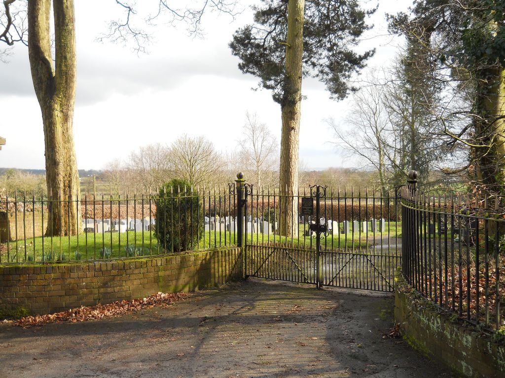
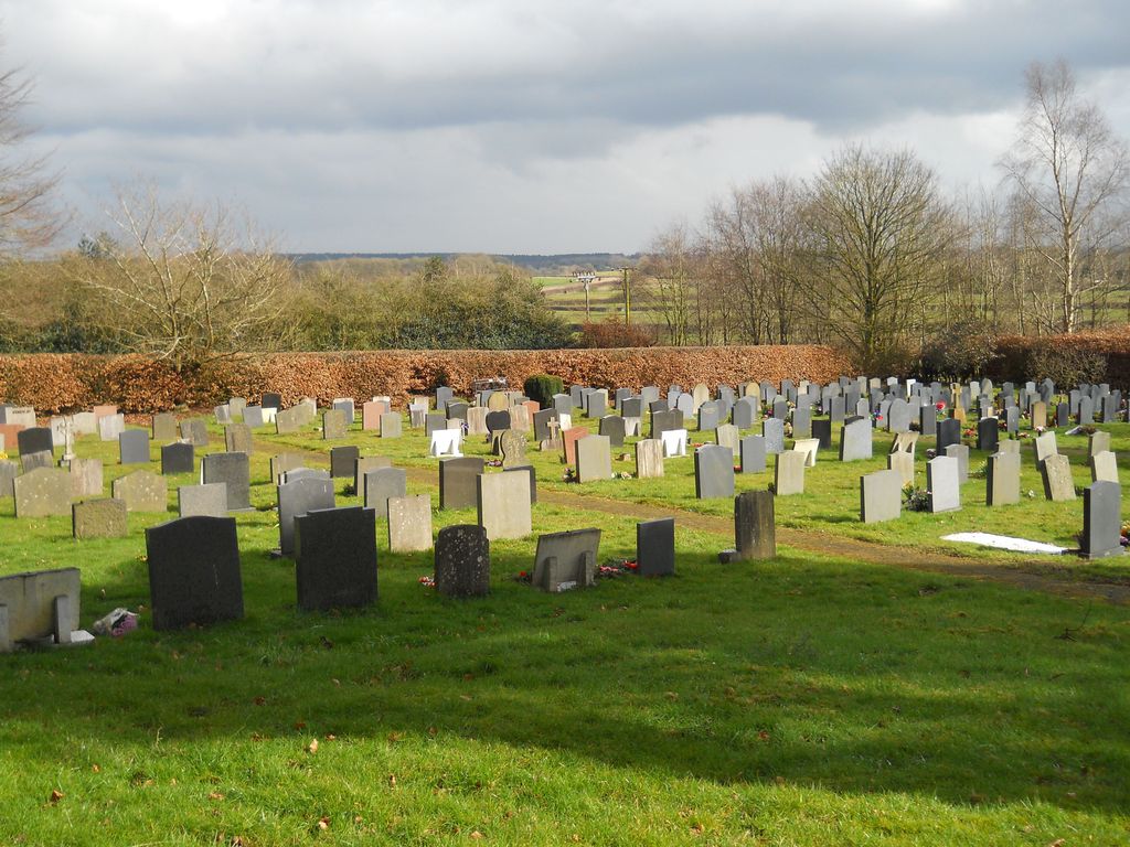
| Memorials | : | 3 |
| Location | : | Cheswardine, Shropshire Unitary Authority, England |
| Coordinate | : | 52.8660400, -2.4187700 |
frequently asked questions (FAQ):
-
Where is St. Swithun's Churchyard?
St. Swithun's Churchyard is located at Cheswardine, Shropshire Unitary Authority ,Shropshire ,England.
-
St. Swithun's Churchyard cemetery's updated grave count on graveviews.com?
3 memorials
-
Where are the coordinates of the St. Swithun's Churchyard?
Latitude: 52.8660400
Longitude: -2.4187700
Nearby Cemetories:
1. St. Mary's Churchyard
Hales, Shropshire Unitary Authority, England
Coordinate: 52.9024580, -2.4274470
2. St Oswald's Church Burial Ground
Hinstock, Shropshire Unitary Authority, England
Coordinate: 52.8346100, -2.4577700
3. St Michael and All Angels Churchyard
Adbaston, Stafford Borough, England
Coordinate: 52.8482630, -2.3545010
4. St Peter Churchyard
Broughton, Stafford Borough, England
Coordinate: 52.9003430, -2.3491340
5. St Michael & All Angels
Childs Ercall, Shropshire Unitary Authority, England
Coordinate: 52.8222524, -2.4975524
6. Saint Mary Church
Mucklestone, Newcastle-Under-Lyme Borough, England
Coordinate: 52.9328620, -2.4098060
7. St John the Baptist Churchyard
Ashley, Newcastle-Under-Lyme Borough, England
Coordinate: 52.9247740, -2.3541570
8. Chetwynd Churchyard
Newport, Telford and Wrekin Unitary Authority, England
Coordinate: 52.7905280, -2.3916390
9. Saint Michael and All Angels
Chetwynd, Telford and Wrekin Unitary Authority, England
Coordinate: 52.7887300, -2.3935160
10. Church of St Peter
Norbury, Stafford Borough, England
Coordinate: 52.8084000, -2.3184000
11. Forton All Saints Churchyard
Newport, Telford and Wrekin Unitary Authority, England
Coordinate: 52.7876210, -2.3640430
12. Tibberton All Saints
Tibberton, Telford and Wrekin Unitary Authority, England
Coordinate: 52.7800660, -2.4741020
13. St. Peter Church
Edgmond, Telford and Wrekin Unitary Authority, England
Coordinate: 52.7699680, -2.4159730
14. St Luke's Churchyard
Hodnet, Shropshire Unitary Authority, England
Coordinate: 52.8536780, -2.5772160
15. Holy Trinity Churchyard
Eccleshall, Stafford Borough, England
Coordinate: 52.8596600, -2.2575600
16. St. Nicholas Churchyard
Newport, Telford and Wrekin Unitary Authority, England
Coordinate: 52.7696720, -2.3793420
17. St. Chad's Church, Slindon, Staffordshire
Stafford Borough, England
Coordinate: 52.8870960, -2.2579986
18. St Peter Churchyard
Maer, Newcastle-Under-Lyme Borough, England
Coordinate: 52.9419660, -2.3099140
19. St Peter Churchyard
Adderley, Shropshire Unitary Authority, England
Coordinate: 52.9517090, -2.5061580
20. All Saints Churchyard
Standon, Stafford Borough, England
Coordinate: 52.9119000, -2.2699000
21. Talbot Chapel
Longford, Telford and Wrekin Unitary Authority, England
Coordinate: 52.7627400, -2.4081500
22. Newport General Cemetery
Newport, Telford and Wrekin Unitary Authority, England
Coordinate: 52.7656260, -2.3655840
23. St Andrews Churchyard
Church Aston, Telford and Wrekin Unitary Authority, England
Coordinate: 52.7577930, -2.3815770
24. St Mary Churchyard
Ellenhall, Stafford Borough, England
Coordinate: 52.8360140, -2.2372270