
| Memorials | : | 0 |
| Location | : | Dunton, Central Bedfordshire Unitary Authority, England |
| Coordinate | : | 52.0825200, -0.1955600 |
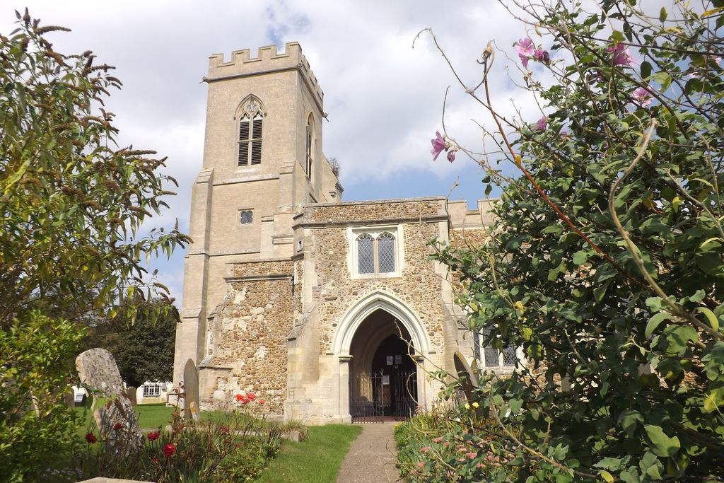
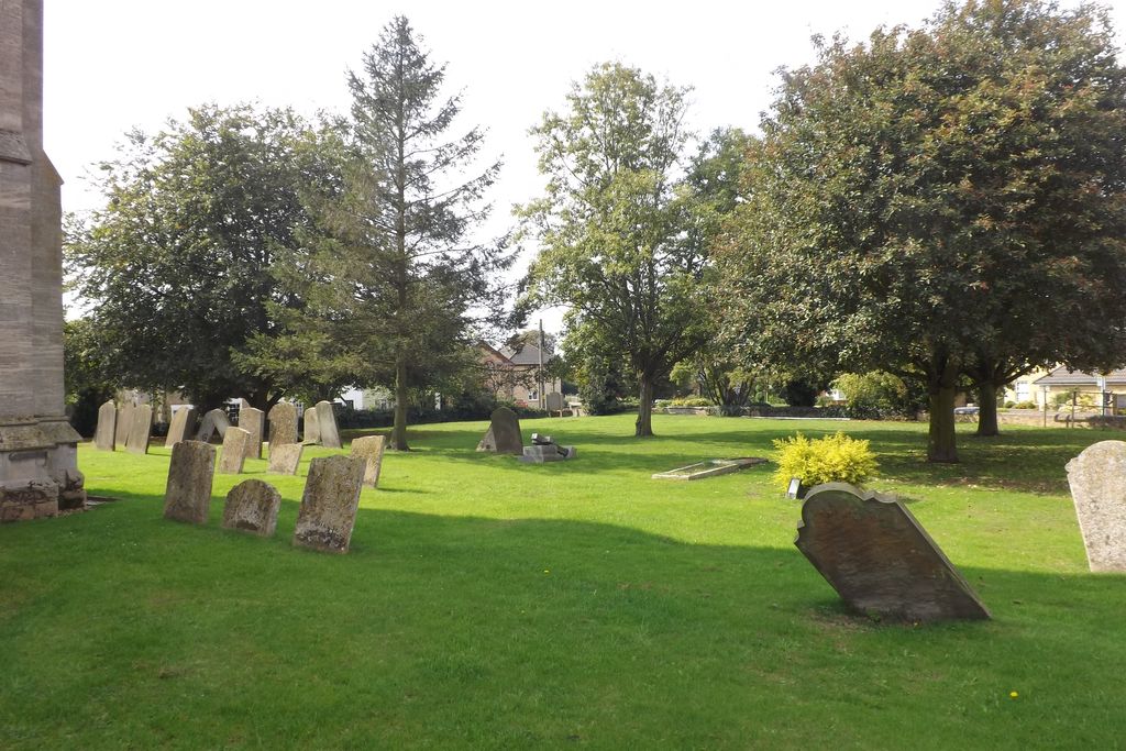
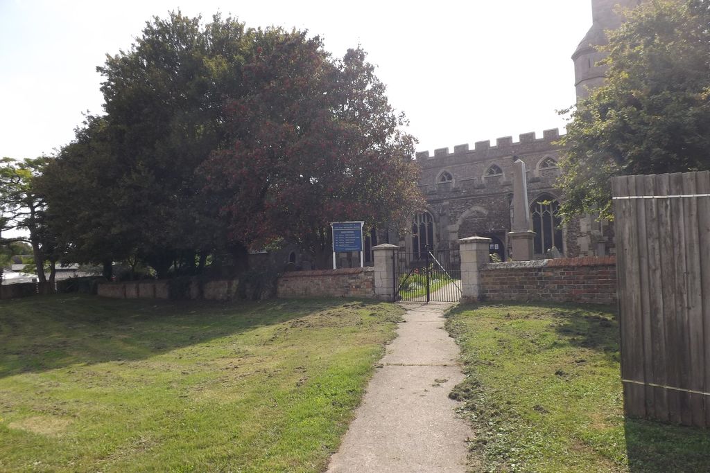
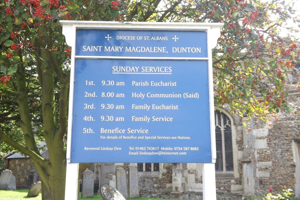
| Description | : | Dunton is a small village and civil parish located in the county of Bedfordshire near Biggleswade. The Parish Church of St. Mary Magdalene dominates the village centre and is floodlit at night. |
frequently asked questions (FAQ):
-
Where is St Mary Magdalene Churchyard?
St Mary Magdalene Churchyard is located at Chapel Lane/Church Lane Dunton, Central Bedfordshire Unitary Authority ,Bedfordshire , SG18 4RREngland.
-
St Mary Magdalene Churchyard cemetery's updated grave count on graveviews.com?
0 memorials
-
Where are the coordinates of the St Mary Magdalene Churchyard?
Latitude: 52.0825200
Longitude: -0.1955600
Nearby Cemetories:
1. Dunton Cemetery
Dunton, Central Bedfordshire Unitary Authority, England
Coordinate: 52.0820490, -0.1982770
2. All Saints Churchyard
Eyeworth, Central Bedfordshire Unitary Authority, England
Coordinate: 52.0945940, -0.1770800
3. Stratton Way Cemetery
Biggleswade, Central Bedfordshire Unitary Authority, England
Coordinate: 52.0919432, -0.2474864
4. All Saints Churchyard
Sutton, Central Bedfordshire Unitary Authority, England
Coordinate: 52.1126500, -0.2212200
5. St George Churchyard
Edworth, Central Bedfordshire Unitary Authority, England
Coordinate: 52.0510350, -0.2189810
6. St Nicholas Churchyard
Hinxworth, North Hertfordshire District, England
Coordinate: 52.0476210, -0.1970460
7. Drove Road Cemetery
Biggleswade, Central Bedfordshire Unitary Authority, England
Coordinate: 52.0895000, -0.2527300
8. St. Mary's Churchyard
Guilden Morden, South Cambridgeshire District, England
Coordinate: 52.0806930, -0.1336810
9. Guilden Morden Burial Ground
Guilden Morden, South Cambridgeshire District, England
Coordinate: 52.0832700, -0.1311000
10. Potton Baptist Church (Defunct)
Potton, Central Bedfordshire Unitary Authority, England
Coordinate: 52.1242617, -0.2096524
11. St Andrew Churchyard
Biggleswade, Central Bedfordshire Unitary Authority, England
Coordinate: 52.0875360, -0.2666970
12. St Peter and St Paul
Steeple Morden, South Cambridgeshire District, England
Coordinate: 52.0655979, -0.1257247
13. St Mary the Virgin Churchyard
Potton, Central Bedfordshire Unitary Authority, England
Coordinate: 52.1295800, -0.2066700
14. Langford Cemetery
Langford, Central Bedfordshire Unitary Authority, England
Coordinate: 52.0640000, -0.2710830
15. St John the Baptist Churchyard
Cockayne Hatley, Central Bedfordshire Unitary Authority, England
Coordinate: 52.1308660, -0.1663740
16. St Mary Magdalene's Church
Caldecote, North Hertfordshire District, England
Coordinate: 52.0304700, -0.1989020
17. St Andrew Churchyard
Langford, Central Bedfordshire Unitary Authority, England
Coordinate: 52.0583270, -0.2721350
18. St. Vincent Churchyard
Newnham, North Hertfordshire District, England
Coordinate: 52.0229100, -0.1897200
19. St Michael and All Angels Churchyard
Abington Pigotts, South Cambridgeshire District, England
Coordinate: 52.0849450, -0.0976970
20. Stotfold Cemetery
Stotfold, Central Bedfordshire Unitary Authority, England
Coordinate: 52.0186450, -0.2189540
21. Sandy Cemetery
Sandy, Central Bedfordshire Unitary Authority, England
Coordinate: 52.1245500, -0.2783300
22. St Mary the Virgin Churchyard
Stotfold, Central Bedfordshire Unitary Authority, England
Coordinate: 52.0150980, -0.2232980
23. St. Denis Churchyard
East Hatley, South Cambridgeshire District, England
Coordinate: 52.1379956, -0.1233863
24. St Swithun Churchyard
Sandy, Central Bedfordshire Unitary Authority, England
Coordinate: 52.1273583, -0.2862773