
| Memorials | : | 2 |
| Location | : | Lower Heyford, Cherwell District, England |
| Coordinate | : | 51.9202580, -1.2960220 |
frequently asked questions (FAQ):
-
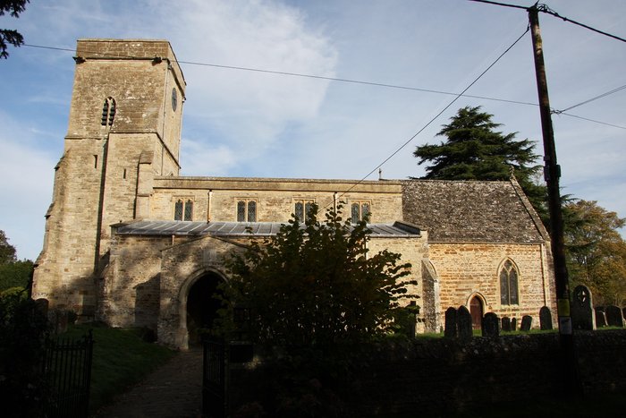
Where is St Mary Churchyard?
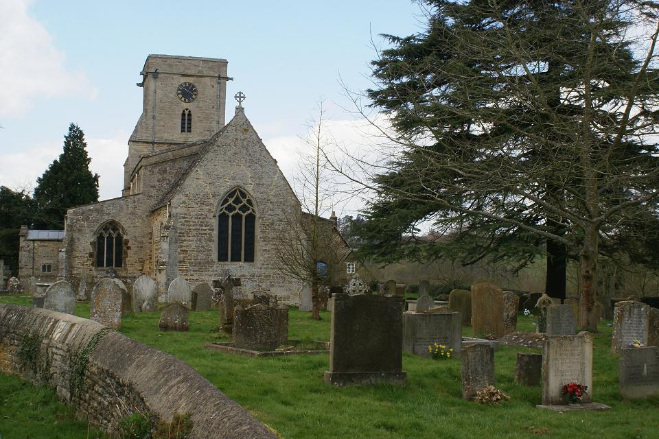
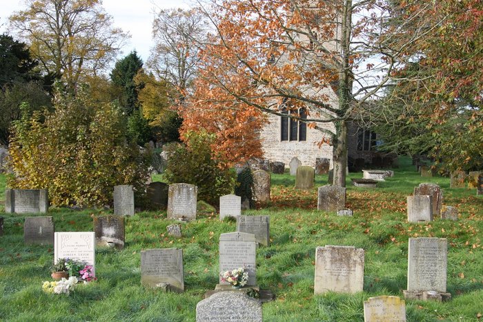
St Mary Churchyard is located at Church Lane Lower Heyford, Cherwell District ,Oxfordshire , OX25 5NZEngland.
-
St Mary Churchyard cemetery's updated grave count on graveviews.com?
2 memorials
-
Where are the coordinates of the St Mary Churchyard?
Latitude: 51.9202580
Longitude: -1.2960220
Nearby Cemetories:
1. St Leonard and St James Churchyard
Rousham, West Oxfordshire District, England
Coordinate: 51.9139780, -1.3037790
2. St Marys Churchyard
Upper Heyford, Cherwell District, England
Coordinate: 51.9290710, -1.2819670
3. Upper Heyford Cemetery
Upper Heyford, Cherwell District, England
Coordinate: 51.9294701, -1.2808000
4. SS Peter and Paul Churchyard
Steeple Aston, Cherwell District, England
Coordinate: 51.9311350, -1.3091000
5. Steeple Barton Churchyard
Steeple Barton, West Oxfordshire District, England
Coordinate: 51.9207670, -1.3498060
6. St James Churchyard
Somerton, Cherwell District, England
Coordinate: 51.9539990, -1.2786200
7. St Marys Churchyard
North Aston, Cherwell District, England
Coordinate: 51.9562960, -1.3020350
8. St Mary Magdelene Churchyard
Duns Tew, Cherwell District, England
Coordinate: 51.9528350, -1.3363090
9. St. Nicholas Churchyard
Tackley, West Oxfordshire District, England
Coordinate: 51.8782400, -1.3102910
10. All Saints Churchyard
Middleton Stoney, Cherwell District, England
Coordinate: 51.9053470, -1.2295300
11. St. Edward the Confessor Churchyard
Westcot Barton, West Oxfordshire District, England
Coordinate: 51.9280100, -1.3747200
12. St Mary the Virgin Churchyard
Kirtlington, Cherwell District, England
Coordinate: 51.8718610, -1.2742740
13. St Olave Churchyard
Fritwell, Cherwell District, England
Coordinate: 51.9596980, -1.2381180
14. Fritwell Parish Council Cemetery
Fritwell, Cherwell District, England
Coordinate: 51.9599490, -1.2380650
15. Fewcott All Saints Churchyard
Albury, South Oxfordshire District, England
Coordinate: 51.9477100, -1.2170700
16. St. Mary's Churchyard
Ardley, Cherwell District, England
Coordinate: 51.9422140, -1.2122580
17. North Oxfordshire Memorial Park and Crematorium
Tackley, West Oxfordshire District, England
Coordinate: 51.8647410, -1.3312160
18. St Martins Churchyard
Sandford St Martin, West Oxfordshire District, England
Coordinate: 51.9371500, -1.3901400
19. St Mary the Virgin Churchyard
Wootton, West Oxfordshire District, England
Coordinate: 51.8756430, -1.3636990
20. Glympton Churchyard
Glympton, West Oxfordshire District, England
Coordinate: 51.8937150, -1.3852970
21. Holy Trinity Churchyard
Over Worton, West Oxfordshire District, England
Coordinate: 51.9598240, -1.3753620
22. Ss Peter and Paul Churchyard
Deddington, Cherwell District, England
Coordinate: 51.9817680, -1.3207470
23. St Giles Churchyard and Extension
Bletchingdon, Cherwell District, England
Coordinate: 51.8582500, -1.2655500
24. Deddington Cemetery
Deddington, Cherwell District, England
Coordinate: 51.9824490, -1.3338930