
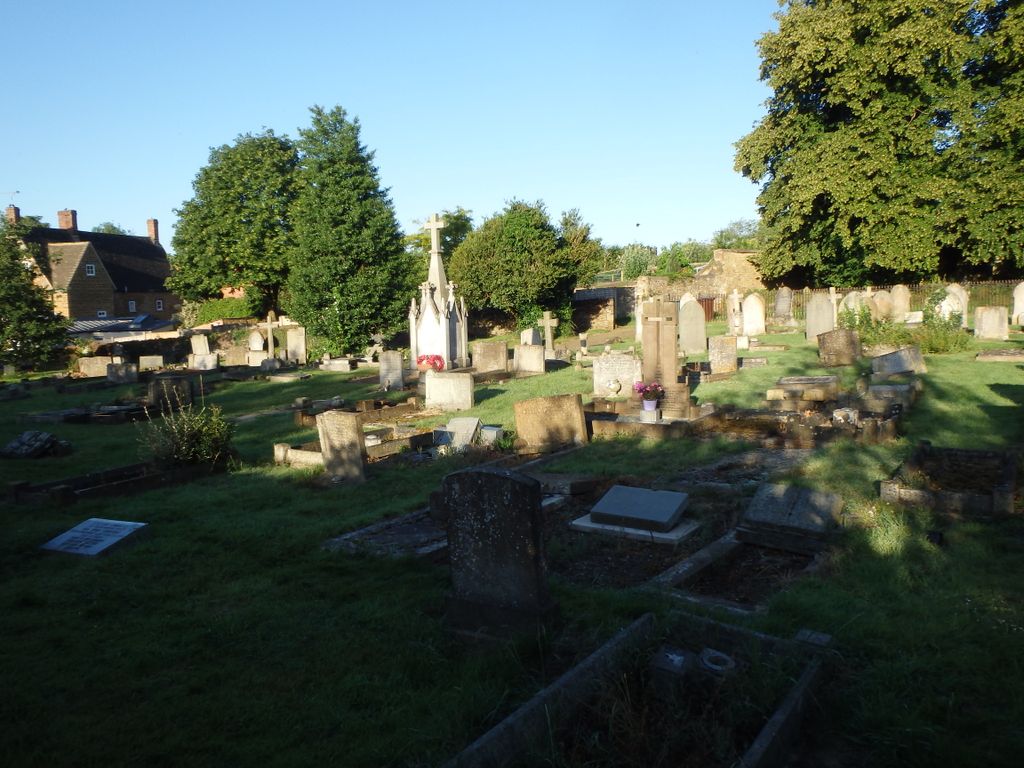
| Memorials | : | 142 |
| Location | : | Deddington, Cherwell District, England |
| Coordinate | : | 51.9817680, -1.3207470 |
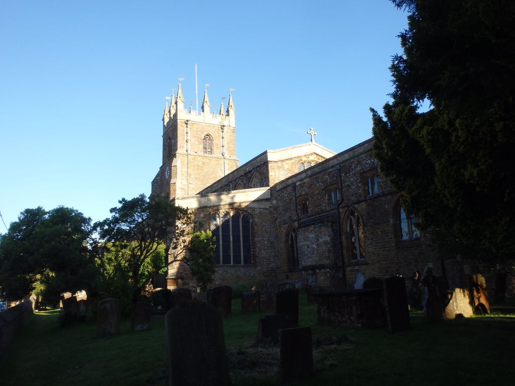
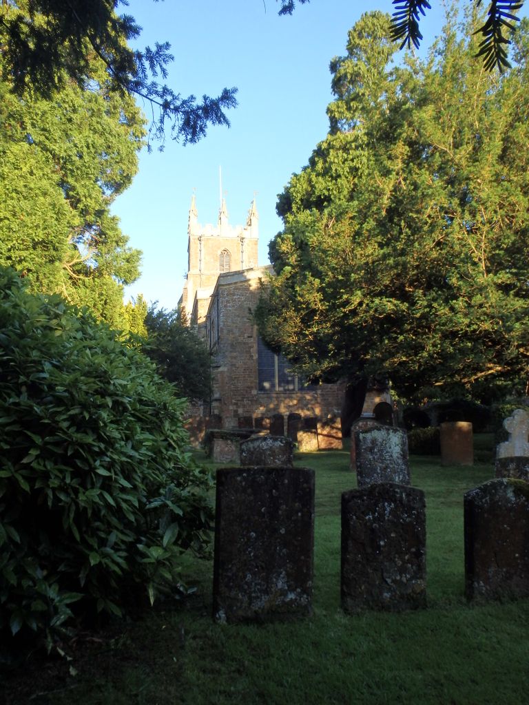
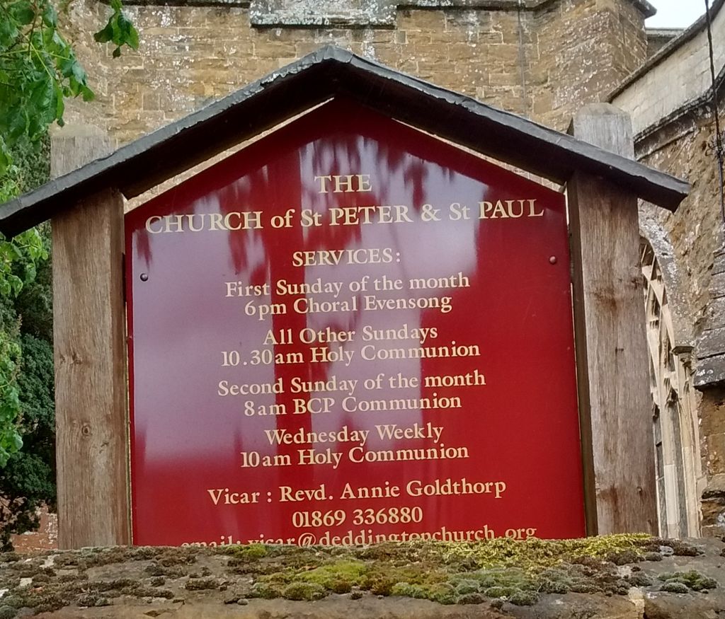
| Description | : | At one time, the church had a tall steeple which, with the bell tower, collapsed and crashed into the body of the church in March 1634. Enormous damage was done and the church was not useable for several years. Finally, King Charles I ordered that enough money should be raised by the Diocese to begin the very expensive repair work. The church was rebuilt in the next few years to its present form with a strong tower flanked by massive buttresses and topped with eight splendid gold weather vanes. On the west side of the tower are two statues representing... Read More |
frequently asked questions (FAQ):
-
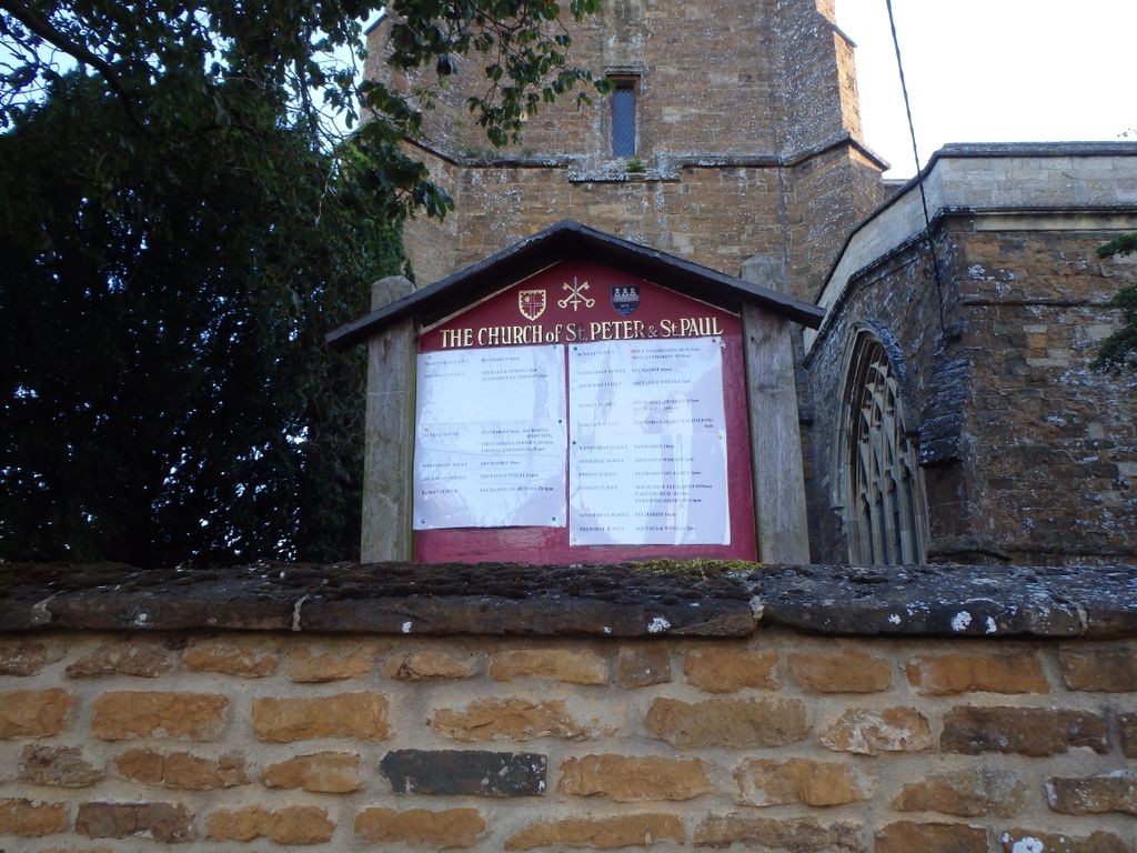
Where is Ss Peter and Paul Churchyard?
Ss Peter and Paul Churchyard is located at Deddington, Cherwell District ,Oxfordshire ,England.
-
Ss Peter and Paul Churchyard cemetery's updated grave count on graveviews.com?
112 memorials
-
Where are the coordinates of the Ss Peter and Paul Churchyard?
Latitude: 51.9817680
Longitude: -1.3207470
Nearby Cemetories:
1. Deddington Cemetery
Deddington, Cherwell District, England
Coordinate: 51.9824490, -1.3338930
2. St Marys Churchyard
North Aston, Cherwell District, England
Coordinate: 51.9562960, -1.3020350
3. St John's Churchyard
Barford St John, Cherwell District, England
Coordinate: 51.9955050, -1.3620350
4. St Mary Magdelene Churchyard
Duns Tew, Cherwell District, England
Coordinate: 51.9528350, -1.3363090
5. Barford St. Michael Churchyard
Barford St Michael, Cherwell District, England
Coordinate: 51.9903200, -1.3711500
6. Adderbury Parish Cemetery
Adderbury, Cherwell District, England
Coordinate: 52.0139537, -1.3246874
7. St Mary the Virgin Churchyard
Adderbury, Cherwell District, England
Coordinate: 52.0148420, -1.3152270
8. St John the Evangelist
Milton, Cherwell District, England
Coordinate: 52.0117900, -1.3452510
9. St James Churchyard
Somerton, Cherwell District, England
Coordinate: 51.9539990, -1.2786200
10. St James Churchyard
Nether Worton, West Oxfordshire District, England
Coordinate: 51.9678100, -1.3807900
11. Holy Trinity Churchyard
Over Worton, West Oxfordshire District, England
Coordinate: 51.9598240, -1.3753620
12. St Michael Churchyard
Aynho, South Northamptonshire Borough, England
Coordinate: 51.9936080, -1.2522380
13. Kings Sutton Cemetery
Kings Sutton, South Northamptonshire Borough, England
Coordinate: 52.0151400, -1.2711000
14. Ss Peter and Paul Churchyard
Kings Sutton, South Northamptonshire Borough, England
Coordinate: 52.0212000, -1.2763560
15. St Mary's Churchyard
Bloxham, Cherwell District, England
Coordinate: 52.0181100, -1.3748900
16. St Mary the Virgin Churchyard
Souldern, Cherwell District, England
Coordinate: 51.9808600, -1.2399900
17. SS Peter and Paul Churchyard
Steeple Aston, Cherwell District, England
Coordinate: 51.9311350, -1.3091000
18. Saint John the Baptist Churchyard
Bodicote, Cherwell District, England
Coordinate: 52.0356100, -1.3305700
19. Fritwell Parish Council Cemetery
Fritwell, Cherwell District, England
Coordinate: 51.9599490, -1.2380650
20. St Olave Churchyard
Fritwell, Cherwell District, England
Coordinate: 51.9596980, -1.2381180
21. South Newington St Peter ad Vincula
South Newington, Cherwell District, England
Coordinate: 51.9970000, -1.4082300
22. Saint Laurence Churchyard
Milcombe, Cherwell District, England
Coordinate: 52.0083060, -1.4033990
23. Upper Heyford Cemetery
Upper Heyford, Cherwell District, England
Coordinate: 51.9294701, -1.2808000
24. St Marys Churchyard
Upper Heyford, Cherwell District, England
Coordinate: 51.9290710, -1.2819670