
| Memorials | : | 0 |
| Location | : | North Aston, Cherwell District, England |
| Website | : | www.sntchurch.com/ |
| Coordinate | : | 51.9562960, -1.3020350 |
| Description | : | North Aston is a village and civil parish about 7.5 miles (12.1 km) south of Banbury and 10 miles (16 km) north of Oxford. The village is mainly situated around a traditional village green, complete with hand-carved sign and drinking fountain - the latter originally built in 1863 on the orders of the then Lord of the Manor, William Foster-Melliar, but restored as part of the village's celebrations of the Millennium in 1999. A majority of homes in North Aston date from Victorian times or earlier and are constructed from local limestone. Much of the village is in a conservation area... Read More |
frequently asked questions (FAQ):
-
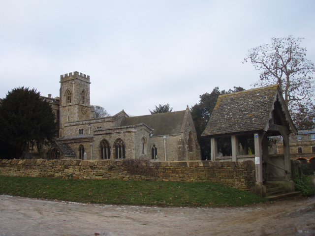
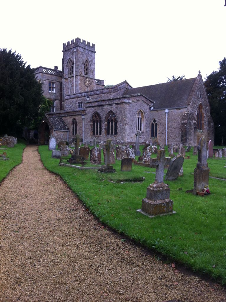
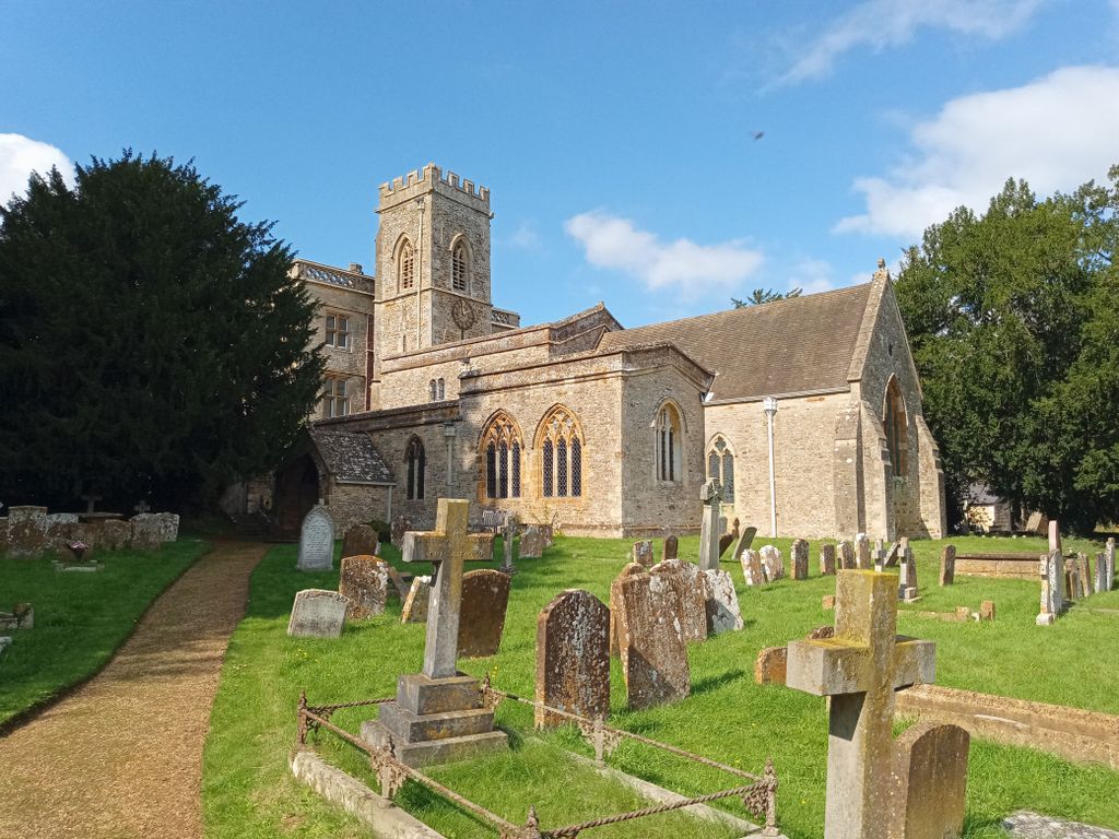
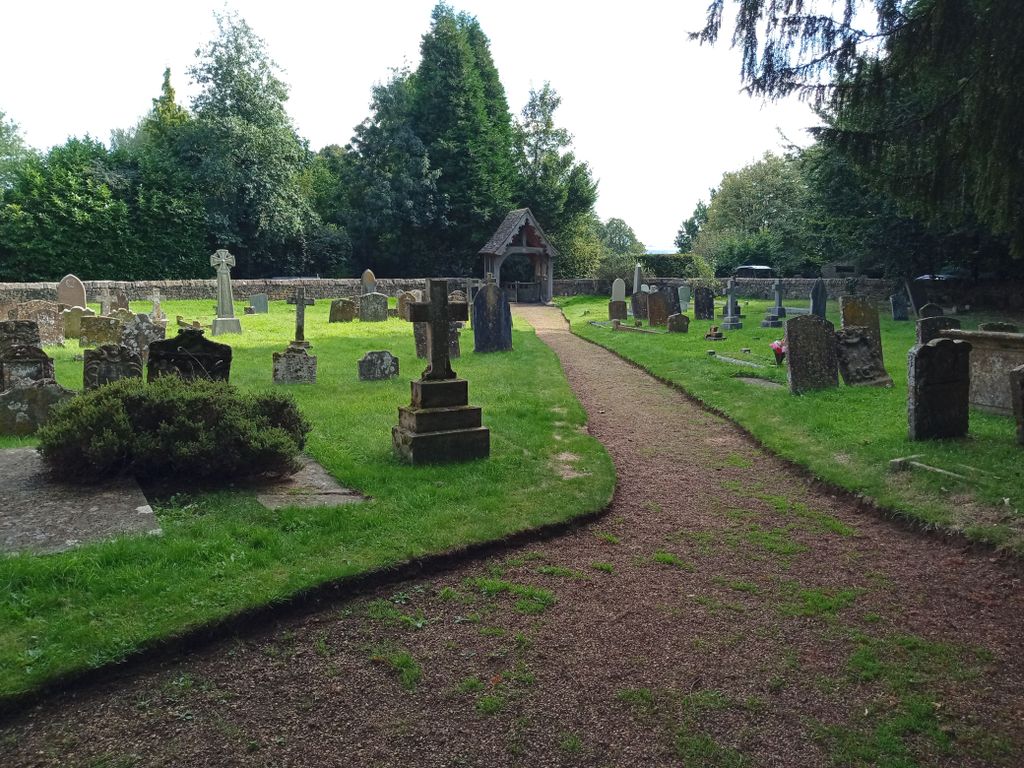
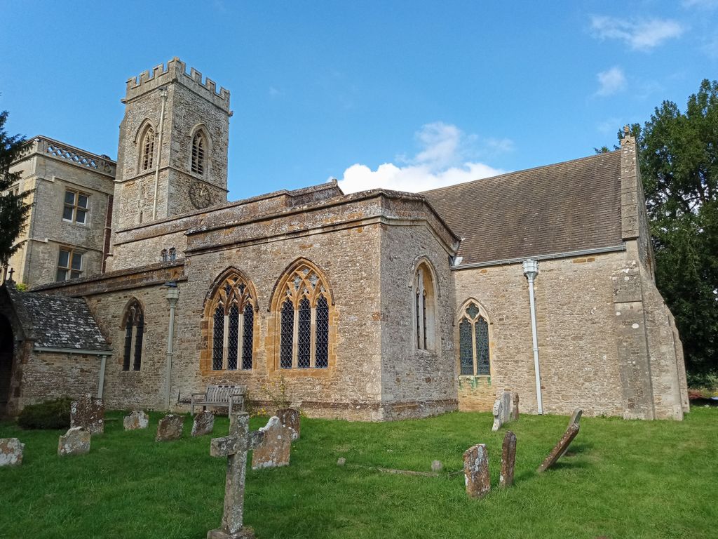
Where is St Marys Churchyard?
St Marys Churchyard is located at St Mary's Walk North Aston, Cherwell District ,Oxfordshire , OX25 6JAEngland.
-
St Marys Churchyard cemetery's updated grave count on graveviews.com?
0 memorials
-
Where are the coordinates of the St Marys Churchyard?
Latitude: 51.9562960
Longitude: -1.3020350
Nearby Cemetories:
1. St James Churchyard
Somerton, Cherwell District, England
Coordinate: 51.9539990, -1.2786200
2. St Mary Magdelene Churchyard
Duns Tew, Cherwell District, England
Coordinate: 51.9528350, -1.3363090
3. SS Peter and Paul Churchyard
Steeple Aston, Cherwell District, England
Coordinate: 51.9311350, -1.3091000
4. Ss Peter and Paul Churchyard
Deddington, Cherwell District, England
Coordinate: 51.9817680, -1.3207470
5. Upper Heyford Cemetery
Upper Heyford, Cherwell District, England
Coordinate: 51.9294701, -1.2808000
6. St Marys Churchyard
Upper Heyford, Cherwell District, England
Coordinate: 51.9290710, -1.2819670
7. Deddington Cemetery
Deddington, Cherwell District, England
Coordinate: 51.9824490, -1.3338930
8. St Mary Churchyard
Lower Heyford, Cherwell District, England
Coordinate: 51.9202580, -1.2960220
9. St Olave Churchyard
Fritwell, Cherwell District, England
Coordinate: 51.9596980, -1.2381180
10. Fritwell Parish Council Cemetery
Fritwell, Cherwell District, England
Coordinate: 51.9599490, -1.2380650
11. St Leonard and St James Churchyard
Rousham, West Oxfordshire District, England
Coordinate: 51.9139780, -1.3037790
12. Holy Trinity Churchyard
Over Worton, West Oxfordshire District, England
Coordinate: 51.9598240, -1.3753620
13. St Mary the Virgin Churchyard
Souldern, Cherwell District, England
Coordinate: 51.9808600, -1.2399900
14. Steeple Barton Churchyard
Steeple Barton, West Oxfordshire District, England
Coordinate: 51.9207670, -1.3498060
15. St Michael Churchyard
Aynho, South Northamptonshire Borough, England
Coordinate: 51.9936080, -1.2522380
16. St James Churchyard
Nether Worton, West Oxfordshire District, England
Coordinate: 51.9678100, -1.3807900
17. St. Edward the Confessor Churchyard
Westcot Barton, West Oxfordshire District, England
Coordinate: 51.9280100, -1.3747200
18. Fewcott All Saints Churchyard
Albury, South Oxfordshire District, England
Coordinate: 51.9477100, -1.2170700
19. St John's Churchyard
Barford St John, Cherwell District, England
Coordinate: 51.9955050, -1.3620350
20. Barford St. Michael Churchyard
Barford St Michael, Cherwell District, England
Coordinate: 51.9903200, -1.3711500
21. St. Mary's Churchyard
Ardley, Cherwell District, England
Coordinate: 51.9422140, -1.2122580
22. St Martins Churchyard
Sandford St Martin, West Oxfordshire District, England
Coordinate: 51.9371500, -1.3901400
23. St Mary the Virgin Churchyard
Adderbury, Cherwell District, England
Coordinate: 52.0148420, -1.3152270
24. Adderbury Parish Cemetery
Adderbury, Cherwell District, England
Coordinate: 52.0139537, -1.3246874