
| Memorials | : | 0 |
| Location | : | Castolon, Brewster County, USA |
| Coordinate | : | 29.1459250, -103.5370170 |
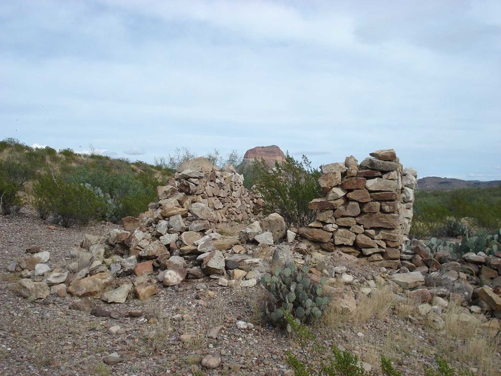
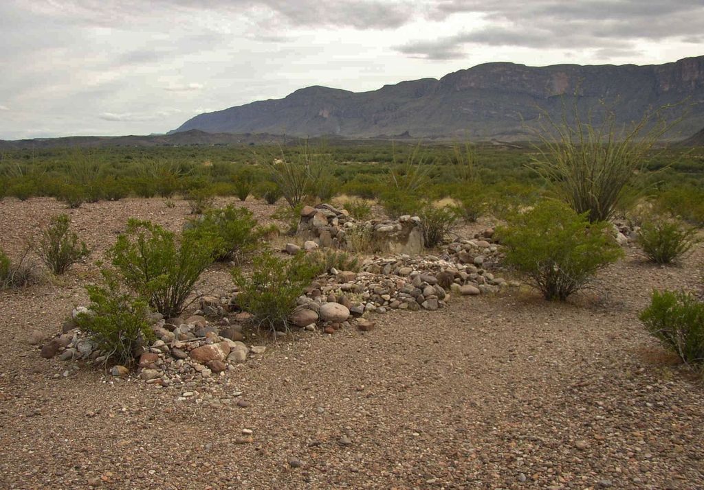
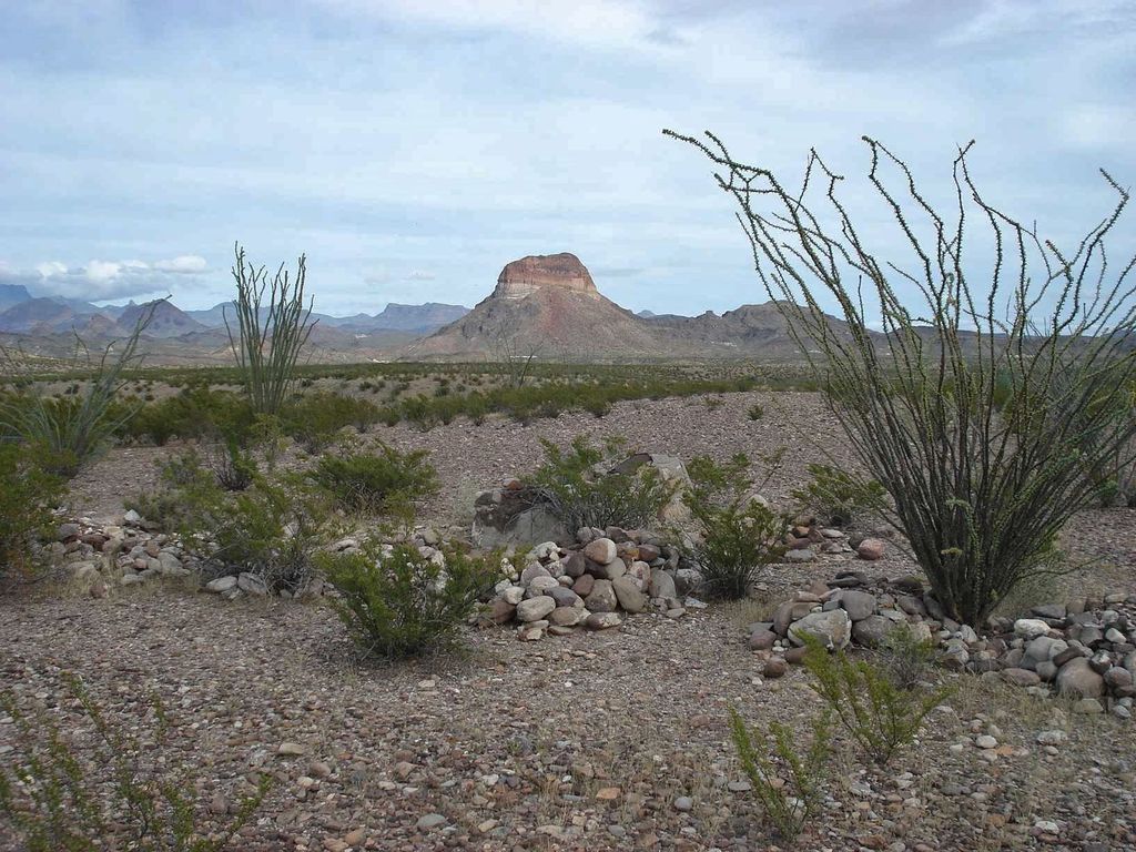
| Description | : | La Coyota is in Big Bend National Park, and was a small Mexican farm village, named after a coyote that tried to break into a hen house. It was abandoned in the 1930's when the Park Service took over the land. It was The village ruins and cemetery are located half-way between Castolon and Santa Elena Canyon. The landmark is the ruins of 3 stone homes visible on the north side of Santa Elena Canyon Road, right where the road dips down against the Rio Grande River. This is not to be confused with the larger Coyote Cemetery which... Read More |
frequently asked questions (FAQ):
-
Where is La Coyota Burial Site?
La Coyota Burial Site is located at Castolon, Brewster County ,Texas ,USA.
-
La Coyota Burial Site cemetery's updated grave count on graveviews.com?
0 memorials
-
Where are the coordinates of the La Coyota Burial Site?
Latitude: 29.1459250
Longitude: -103.5370170
Nearby Cemetories:
1. Coyote Cemetery
Brewster County, USA
Coordinate: 29.1495750, -103.5430960
2. Castolon Cemetery
Castolon, Brewster County, USA
Coordinate: 29.1339870, -103.5108100
3. El Ojito Cemetery
Castolon, Brewster County, USA
Coordinate: 29.1244320, -103.5036250
4. Terlingua Abaja II Cemetery
Terlingua Abaja, Brewster County, USA
Coordinate: 29.1878450, -103.6107320
5. Terlingua Abajo Campground
Terlingua, Brewster County, USA
Coordinate: 29.1981970, -103.6034530
6. Valenzuela Ranch Cemetery
Terlingua, Brewster County, USA
Coordinate: 29.2236800, -103.5816010
7. Dryden Ranch Cemetery
Brewster County, USA
Coordinate: 29.2169360, -103.5991290
8. Terlingua de Abajo Cemetery
Terlingua Abaja, Brewster County, USA
Coordinate: 29.2170550, -103.5989530
9. Sierra Chino Burial Site
Sierra Chino, Brewster County, USA
Coordinate: 29.0415820, -103.4155680
10. Study Butte Cemetery
Terlingua, Brewster County, USA
Coordinate: 29.3132880, -103.5249610
11. Terlingua Cemetery
Terlingua, Brewster County, USA
Coordinate: 29.3197994, -103.6123962
12. Lajitas Cemetery
Brewster County, USA
Coordinate: 29.2623005, -103.7745972
13. Woodson's Cemetery
Brewster County, USA
Coordinate: 29.0076110, -103.2934410
14. Panteón Municipal de Manuel Benavides
Manuel Benavides, Manuel Benavides Municipality, Mexico
Coordinate: 29.1040780, -103.9081030
15. Glenn Springs Cemetery
Brewster County, USA
Coordinate: 29.1741910, -103.1581210
16. Terlingua Ranch Cemetery
Terlingua, Brewster County, USA
Coordinate: 29.4616000, -103.3826000
17. Rice Cemetery
Brewster County, USA
Coordinate: 29.2455997, -103.1318970
18. Solis Burial Site
Solis Landing, Brewster County, USA
Coordinate: 29.0593720, -103.1107950
19. Nina Marie Seawell Hannold Gravesite
Brewster County, USA
Coordinate: 29.3694020, -103.1674940
20. San Vicente Crossing Cemetery
San Vicente Crossing, Brewster County, USA
Coordinate: 29.1326220, -103.0225550
21. San Vicente Cemetery
Brewster County, USA
Coordinate: 29.1557100, -103.0189420
22. La Noria Cemetery
Brewster County, USA
Coordinate: 29.2484050, -103.0263025
23. Green Wax Camp Cemetery
Brewster County, USA
Coordinate: 29.4057800, -103.1052950
24. Juan De Leon Gravesite
Brewster County, USA
Coordinate: 29.2465610, -103.0191900