
| Memorials | : | 0 |
| Location | : | Castolon, Brewster County, USA |
| Coordinate | : | 29.1244320, -103.5036250 |
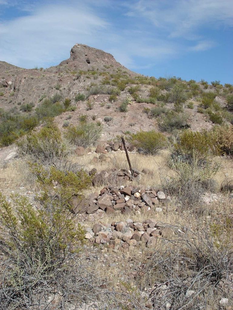
| Description | : | El Ojito is an old Mexican farm village, located southeast of Castolon. "El Ojito" is Spanish for "the little eye", and the word "eye" is sometimes used to mean a spring in the desert. So, "El Ojito" in this context means "the little spring". There is an old, faint dirt road starting at Castolon called River Road West which goes that way, but it is gated and locked, so it cannot be driven upon. It takes a hike of 1.1 miles from Castolon going south-east to get there, along the edge of the Rio Grande River flood plain, which is... Read More |
frequently asked questions (FAQ):
-
Where is El Ojito Cemetery?
El Ojito Cemetery is located at Castolon, Brewster County ,Texas ,USA.
-
El Ojito Cemetery cemetery's updated grave count on graveviews.com?
0 memorials
-
Where are the coordinates of the El Ojito Cemetery?
Latitude: 29.1244320
Longitude: -103.5036250
Nearby Cemetories:
1. Castolon Cemetery
Castolon, Brewster County, USA
Coordinate: 29.1339870, -103.5108100
2. La Coyota Burial Site
Castolon, Brewster County, USA
Coordinate: 29.1459250, -103.5370170
3. Coyote Cemetery
Brewster County, USA
Coordinate: 29.1495750, -103.5430960
4. Terlingua Abaja II Cemetery
Terlingua Abaja, Brewster County, USA
Coordinate: 29.1878450, -103.6107320
5. Sierra Chino Burial Site
Sierra Chino, Brewster County, USA
Coordinate: 29.0415820, -103.4155680
6. Terlingua Abajo Campground
Terlingua, Brewster County, USA
Coordinate: 29.1981970, -103.6034530
7. Valenzuela Ranch Cemetery
Terlingua, Brewster County, USA
Coordinate: 29.2236800, -103.5816010
8. Terlingua de Abajo Cemetery
Terlingua Abaja, Brewster County, USA
Coordinate: 29.2170550, -103.5989530
9. Dryden Ranch Cemetery
Brewster County, USA
Coordinate: 29.2169360, -103.5991290
10. Study Butte Cemetery
Terlingua, Brewster County, USA
Coordinate: 29.3132880, -103.5249610
11. Terlingua Cemetery
Terlingua, Brewster County, USA
Coordinate: 29.3197994, -103.6123962
12. Woodson's Cemetery
Brewster County, USA
Coordinate: 29.0076110, -103.2934410
13. Lajitas Cemetery
Brewster County, USA
Coordinate: 29.2623005, -103.7745972
14. Glenn Springs Cemetery
Brewster County, USA
Coordinate: 29.1741910, -103.1581210
15. Rice Cemetery
Brewster County, USA
Coordinate: 29.2455997, -103.1318970
16. Solis Burial Site
Solis Landing, Brewster County, USA
Coordinate: 29.0593720, -103.1107950
17. Terlingua Ranch Cemetery
Terlingua, Brewster County, USA
Coordinate: 29.4616000, -103.3826000
18. Panteón Municipal de Manuel Benavides
Manuel Benavides, Manuel Benavides Municipality, Mexico
Coordinate: 29.1040780, -103.9081030
19. Nina Marie Seawell Hannold Gravesite
Brewster County, USA
Coordinate: 29.3694020, -103.1674940
20. San Vicente Crossing Cemetery
San Vicente Crossing, Brewster County, USA
Coordinate: 29.1326220, -103.0225550
21. San Vicente Cemetery
Brewster County, USA
Coordinate: 29.1557100, -103.0189420
22. La Noria Cemetery
Brewster County, USA
Coordinate: 29.2484050, -103.0263025
23. Juan De Leon Gravesite
Brewster County, USA
Coordinate: 29.2465610, -103.0191900
24. Green Wax Camp Cemetery
Brewster County, USA
Coordinate: 29.4057800, -103.1052950